Trail Overview
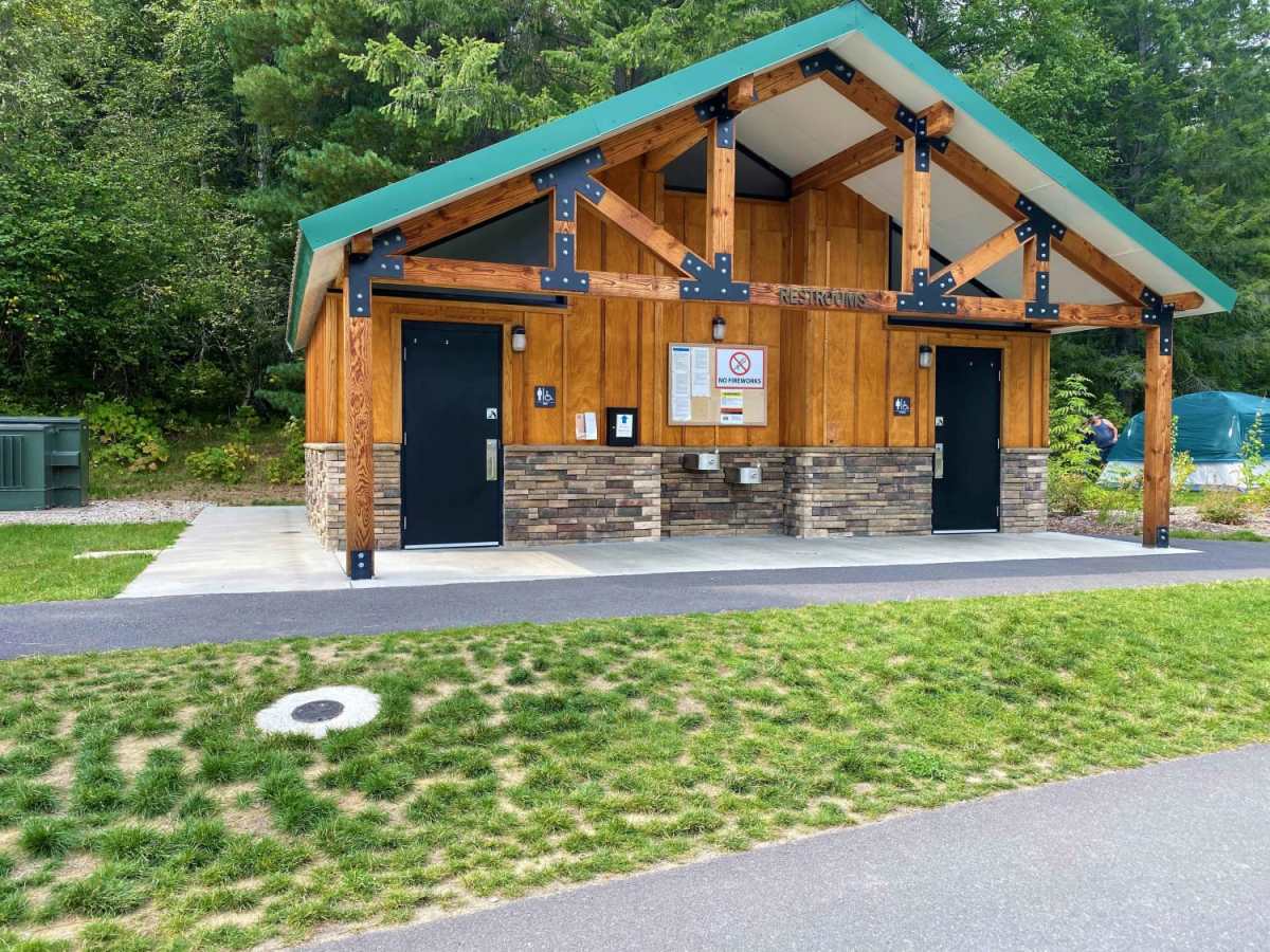
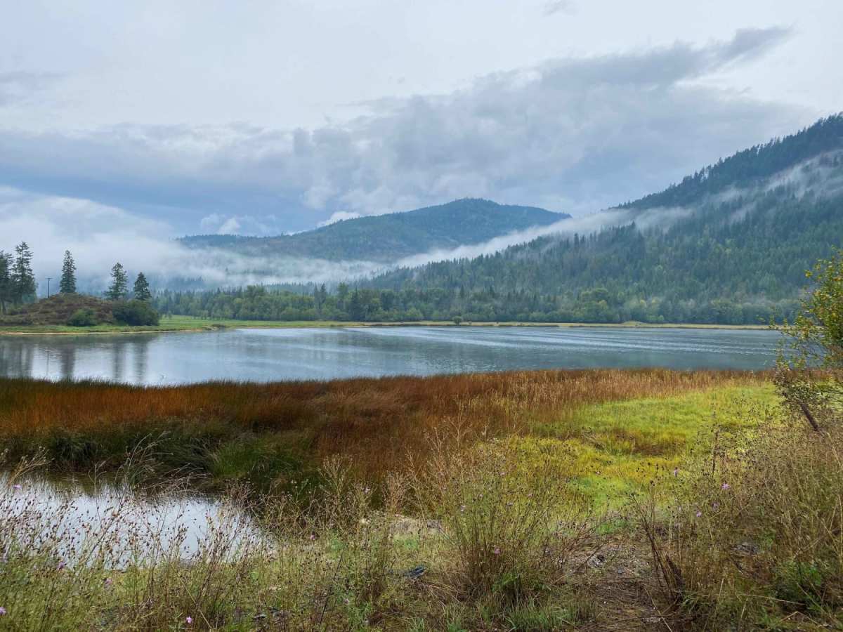
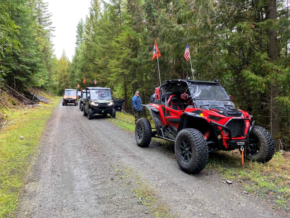
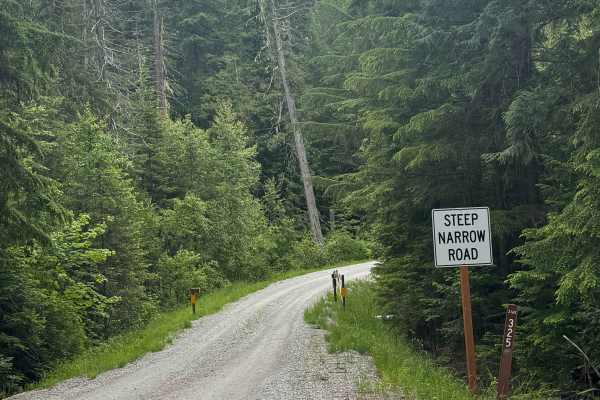
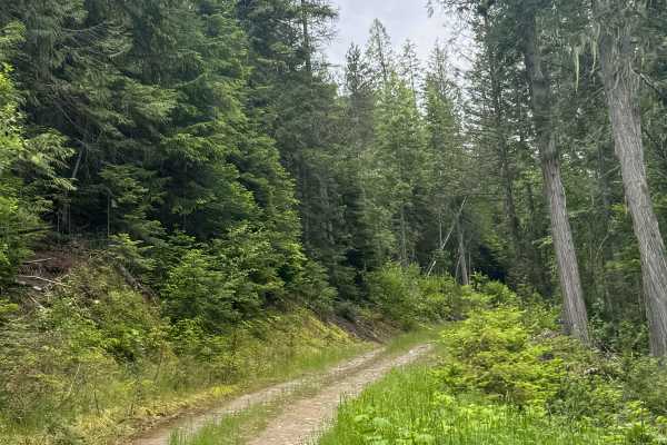
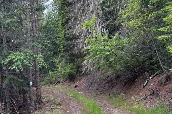
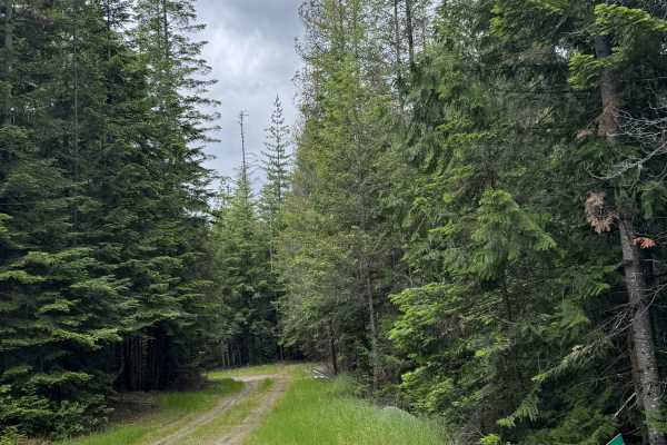
Frisco Standard Road is the northernmost access from the Juanita border crossing into Canada across into Pend Oreille County, emerging at Boundary Dam. It's a USFS gravel road and is 2WD in good weather; it's not a year-round road for wheeled vehicles. Both Stevens and Pend Oreille County roads are open, making for some nice loops with Smackout Pass and Meadow Creek areas, which links with the LPO's OHV Area and down to Calispell Basin and many other routes in both counties, including the Leslie Creek and Calispell Ridge Jeep trails. Crawford State Park and Gardner Caves aren't open to OHVs but you could park and walk into the state park - there are cavern tours every 2 hours starting at 1000 in the summer and early fall. Boundary Dam has a recreation area, Forebay, right on the Pend Oreille River and it's OHV-accessible with camping, picnicking, boating, and bathroom facilities. This route as mapped is an out-and-back from Deep Lake-Boundary Road in Stevens County, from the Cedar Lake area to Forebay Recreation Area. There are lots of dispersed campsites along the route and it's excellent hunting ground - please respect the private timber ground along the route that's well-signed.
History
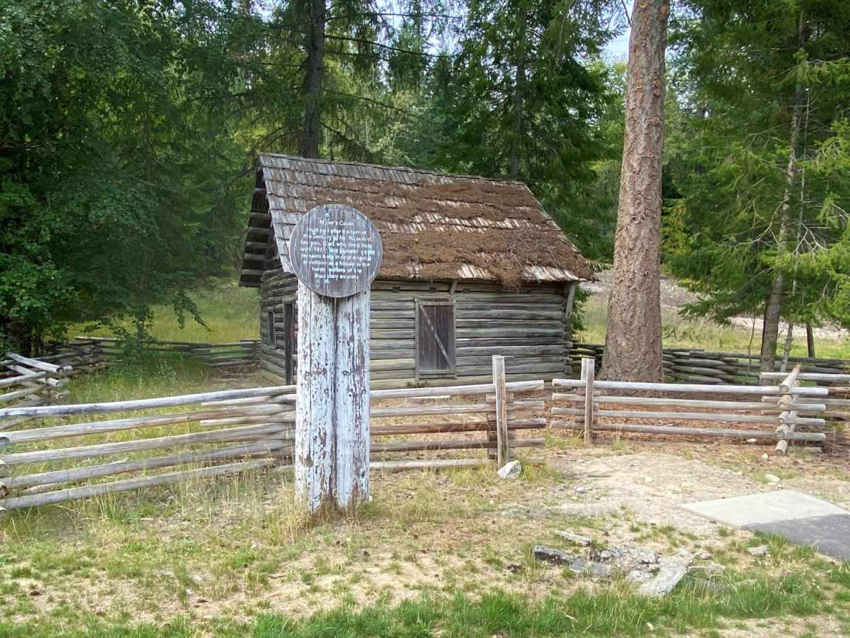
It's an old mining route for the many silver mines in the area - all of them also contained lead, so be aware that the ore can be toxic.