Trail Overview
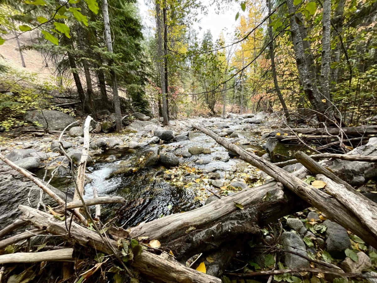
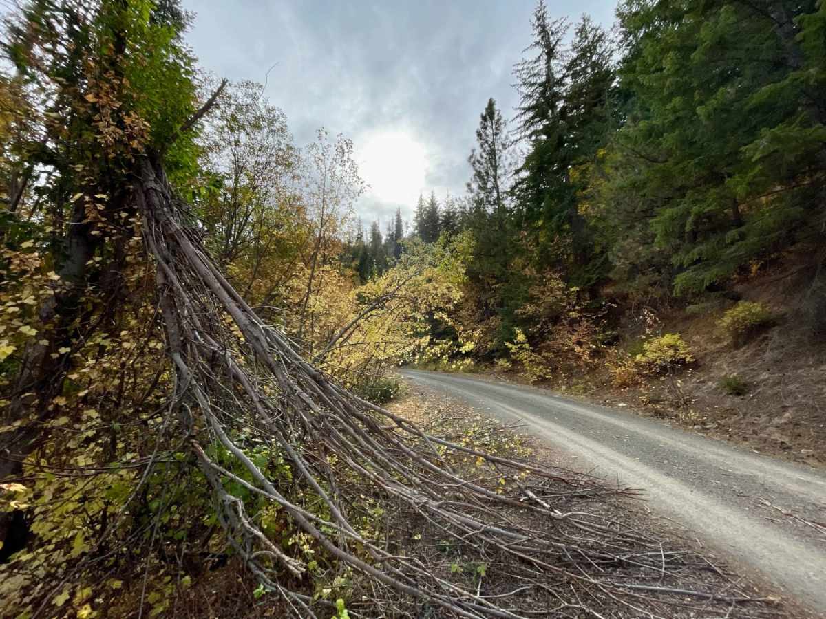
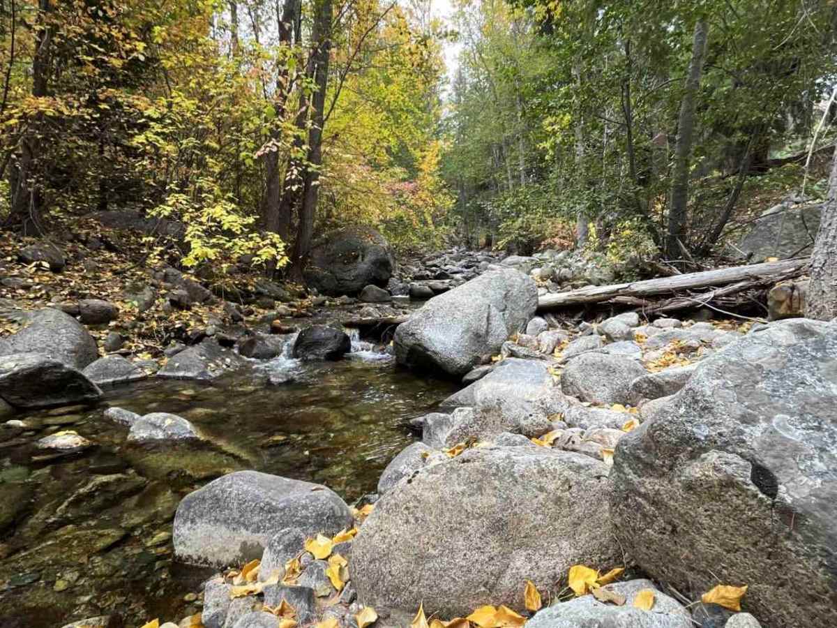
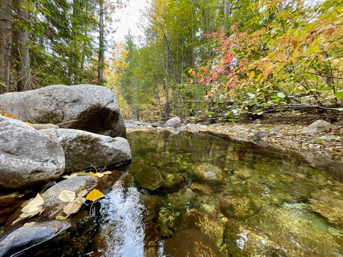
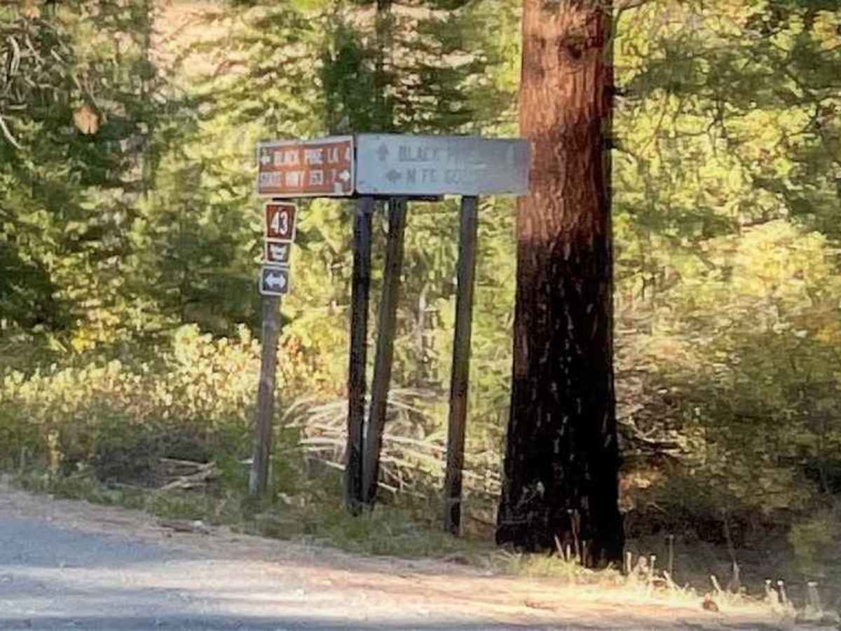
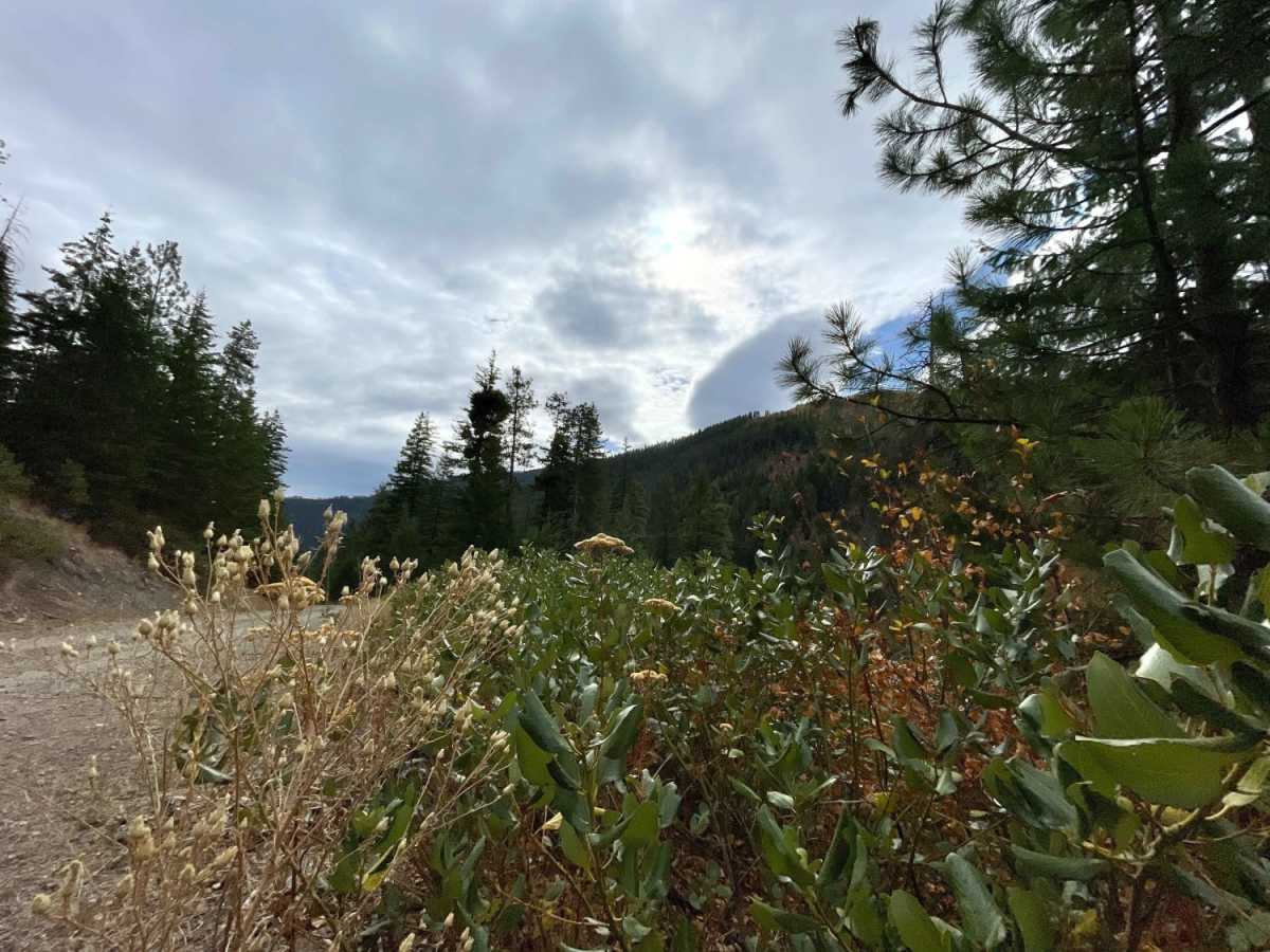
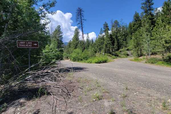
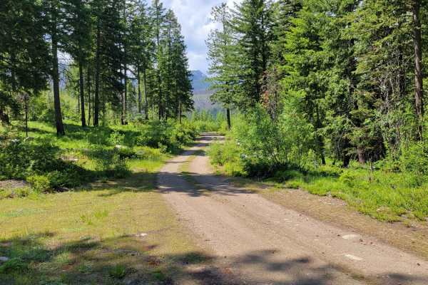
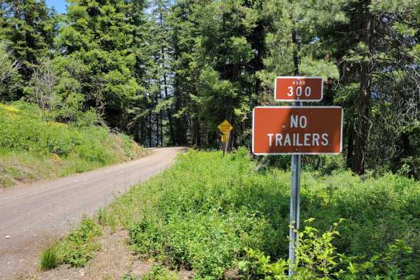
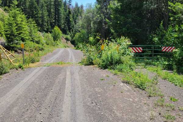
The North Fork Gold Creek trail begins 7.25 miles from Highway 153 at the junction with Buttermilk-Libby Road. This easy route is made up of gravel and crushed granite and travels almost entirely through the Okanogan National Forest except for the final 3 miles, which pass through an area of 15 private parcels ranging in size from 5 to 200 acres. This route can stand alone for a short drive or serve as a jumping-off point for several motorized and non-motorized trails, with the opportunity to travel into the Wenatchee National Forest and hike the Lake Chelan Sawtooth Wilderness. Given its ease of access and additional recreation opportunities, one can expect to encounter others--particularly in the second half. The initial 3.6 miles of trail climbs 1,100 feet as it winds through pine trees with occasional peekaboo views to the east. At just 1.2 miles in, you will encounter the first significant spur. This side trip offers an additional 2.6-mile drive along Mission Peak Road. Alternatively, one could take a left at the "Y" and head for the Libby Lake trailhead. As you reach the high point at 4,100 feet and begin your descent, you will encounter two short spurs on either side of the road. Travel just 0.25 miles further and note the start of the Raven Ridge spur on the right. While the area surrounding this spur is approximately 1.2 square miles, it contains 9 miles of dirt road! Make sure you have the time and gas before taking this offshoot. Only two more hairpin turns remain before the road stretches out for the remaining 8.2 miles and descends 2,500 feet. As the degree of grade begins to ease at 6.9 miles, the Crater Creek spur and campsite will be approaching on the right. Continue another 1.4 miles and stop to admire the North Fork of Cold Creek running parallel to the road. A short distance further is the Foggy Dew trailhead spur and 24-site tent/trailer campground with toilet facilities but no running water or power. At the 9.5-mile mark, be sure to stick to the road as you enter a community of parcels on private land. The trail ends at the next "Y." Continuing Gold Creek Road to the left will lead back to the Methow River and Highway 153; go to the right and hook up with the Hungry Mountain trail.