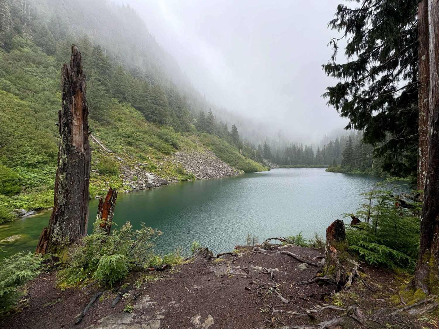
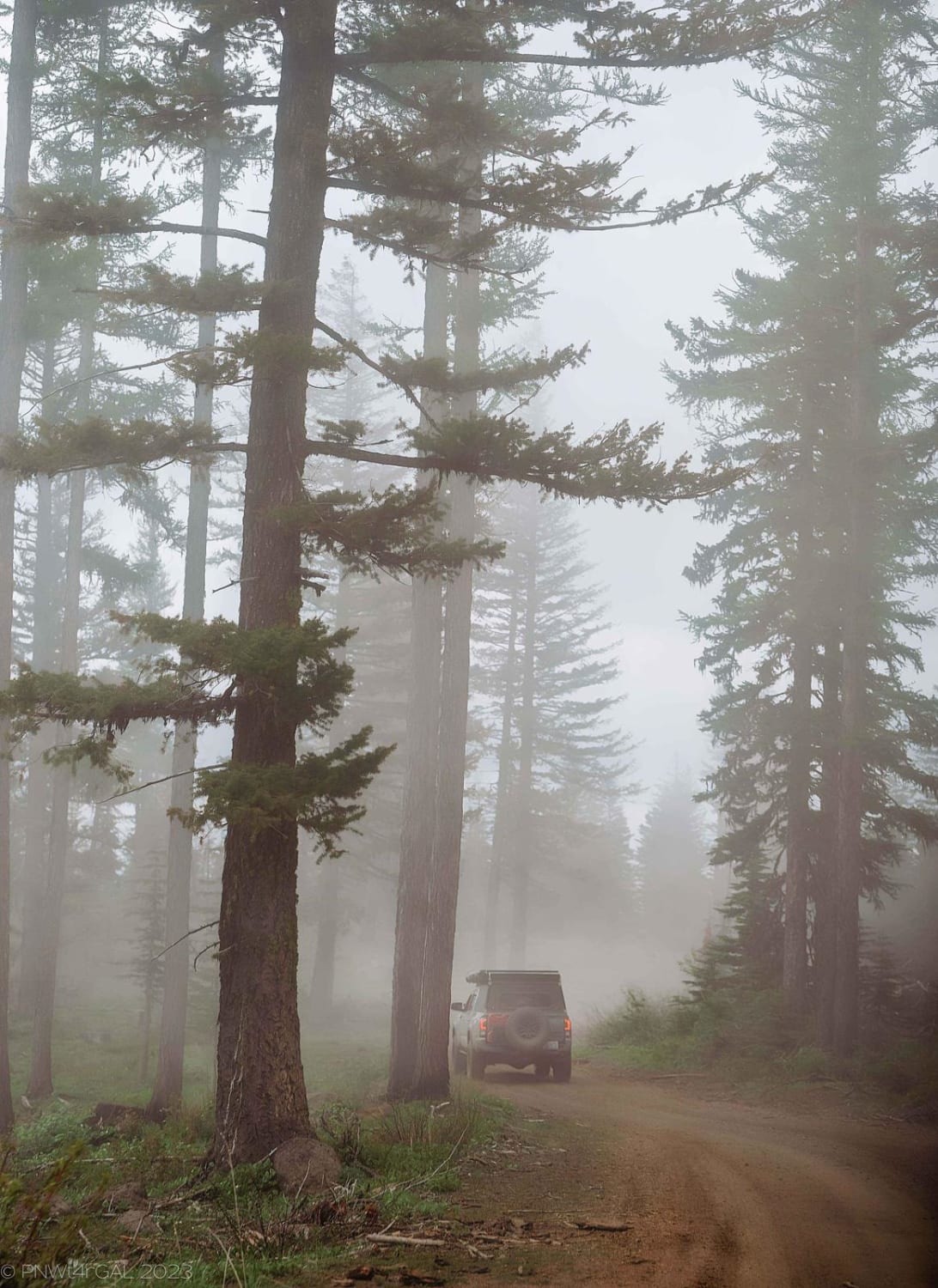
Off-Road Trails in Washington

Discover off-road trails in Washington

Learn more about FS2340 to High Steel Bridge
FS2340 to High Steel Bridge

FS2340 to High Steel Bridge

FS 2340 is your classic Pacific-Northwest Forest Service Road, that happens to lead you to a historical landmark, High Steel Bridge. High Steel is a truss arch bridge that sits 375ft above the South Fork…
Learn more about FS2340 to High Steel Bridge
Total Miles
5.1
Tech Rating
2 Easy
Best Time
Spring, Summer, Fall
Learn more about FS2340 to Spider Lake
FS2340 to Spider Lake

FS2340 to Spider Lake

This route follows FS 2340 to Spider Lake. Once you arrive, you may be looking for spiders but don't miss this beautiful little lake nestled in the middle of the Olympic Mountains. It is unclear…
Learn more about FS2340 to Spider Lake
Total Miles
9.4
Tech Rating
2 Easy
Best Time
Spring, Summer, Fall
Learn more about FS70 Greenwater to Cliffdell
FS70 Greenwater to Cliffdell

FS70 Greenwater to Cliffdell

You will find FS70 just outside of Greenwater heading east off of SR410. This road is paved for the first 10 miles. There are many camping spots along the way. When you reach the sno-park,…
Learn more about FS70 Greenwater to Cliffdell
Total Miles
36.3
Tech Rating
2 Easy
Best Time
Summer
Learn more about Fulton Creek Road to Murhut Falls
Fulton Creek Road to Murhut Falls

Fulton Creek Road to Murhut Falls

This is a nice dirt/gravel road that eventually leads to Murhut Falls Trailhead. Once you've hiked up to the falls you can come back the same way or take Duckabush Collins CG road back to…
Learn more about Fulton Creek Road to Murhut Falls
Total Miles
8.9
Tech Rating
3 Easy
Best Time
Spring, Summer, Fall
Learn more about Garcia Road
Garcia Road

Garcia Road

This road accesses the Palouse to Cascades, or Iron Horse trail, as well as a number of other trailheads and forest service roads. While the main road is relatively tame, there is a small 4x4…
Learn more about Garcia Road
Total Miles
3.0
Tech Rating
1 Easy
Best Time
Spring, Summer, Fall
Learn more about Gentle Campers Offroad Creekside Drive
Gentle Campers Offroad Creekside Drive

Gentle Campers Offroad Creekside Drive

This gentle path is along the East Fork Lewis River. You will find yourself amongst beautiful trees, waterfalls, and free campgrounds. Having recently experienced a fire in 21-22 offshooting paths may see burn damage. This…
Learn more about Gentle Campers Offroad Creekside Drive
Total Miles
3.2
Tech Rating
1 Easy
Best Time
Spring, Summer, Fall
Learn more about Gifford Pinchot #1 Boundary Trail
Gifford Pinchot #1 Boundary Trail

Gifford Pinchot #1 Boundary Trail

The #1 Boundary trail is really the epic Gifford Trail running across the top of the riding area. If camped at Olallie Lake, you will have a couple miles of gravel road to ride before…
Learn more about Gifford Pinchot #1 Boundary Trail
Total Miles
11.8
Tech Rating
6 Moderate
Best Time
Summer, Fall
Learn more about Glacier Creek Road
Glacier Creek Road

Glacier Creek Road

This 5.4 mile out and back trail once accessed several backcountry hiking trails and views of the glaciers on Mt. Baker. This road has been washed out by the creek in multiple areas and has…
Learn more about Glacier Creek Road
Total Miles
2.7
Tech Rating
1 Easy
Best Time
Spring, Summer, Fall
Learn more about Gnat Flat - NF3300
Gnat Flat - NF3300

Gnat Flat - NF3300

Gnat Flat is a 8.5-mile, maintained gravel forest service road connecting West Taneum Road up through Gnat Flat to Tamarack Springs Road at roughly 5,000'. This is a segment of a larger North-South 60-mile Overlanding…
Learn more about Gnat Flat - NF3300
Total Miles
8.8
Tech Rating
1 Easy
Best Time
Spring, Summer, Fall
Learn more about Graves Creek Camp Trail
Graves Creek Camp Trail

Graves Creek Camp Trail

After passing a very inviting lake and community, expect a dusty dirt road with some winding turns and potholes in the road. Mostly one vehicle wide. No RV or trailers are allowed at the campground…
Learn more about Graves Creek Camp Trail
Total Miles
5.7
Tech Rating
2 Easy
Best Time
Summer
Learn more about Green Canyon Loop (Trails 116,110,270,265)
Green Canyon Loop (Trails 116,110,270,265)

Green Canyon Loop (Trails 116,110,270,265)

This is a great loop, and can be done in two hours depending on your fitness and trail conditions. There are some road connections required, but these are relatively short. There are some epic views…
Learn more about Green Canyon Loop (Trails 116,110,270,265)
Total Miles
19.9
Tech Rating
7 Difficult
Best Time
Summer, Fall
Learn more about Green Mountain Road/NF-011
Green Mountain Road/NF-011

Green Mountain Road/NF-011

Green Mountain Road starts as a well-groomed dirt/ gravel track with a spectacular forest surround. This is a popular location for people to come shooting, with many small pullouts along the first half of the…
Learn more about Green Mountain Road/NF-011
Total Miles
5.9
Tech Rating
3 Easy
Best Time
Winter, Summer
Learn more about Greenhorn Creek Road
Greenhorn Creek Road

Greenhorn Creek Road

This 15-mile point-to-point trail passes several peaks (some have trails going to the top), Greenhorn Buttes, French Butte, Ferrous Point, and Pinto Rock. Pole Patch Campground is also along this trail. There are also great…
Learn more about Greenhorn Creek Road
Total Miles
14.9
Tech Rating
2 Easy
Best Time
Spring, Summer, Fall
Learn more about Hager Lake to Packwood Lake
Hager Lake to Packwood Lake

Hager Lake to Packwood Lake

This 9-mile point-to-point trail connects the Hager Creek Trail and the road to Packwood Lake Trailhead. The entrance off of Hager Creek Trail is a short, steep descent with loose dirt and rocks up to…
Learn more about Hager Lake to Packwood Lake
Total Miles
8.9
Tech Rating
4 Moderate
Best Time
Spring, Summer, Fall
Learn more about Hamma Hamma Falls
Hamma Hamma Falls

Hamma Hamma Falls

Drive through the forest on a pavement/dirt road to Hamma Hamma Falls. You can take a walk down to the water and see the falls from up close. At the parking lot also is a…
Learn more about Hamma Hamma Falls
Total Miles
7.3
Tech Rating
1 Easy
Best Time
Summer
Learn more about Hamma Hamma lookout #1 (251000)
Hamma Hamma lookout #1 (251000)

Hamma Hamma lookout #1 (251000)

This is a section of the 2510000 trail to the first big lookout/camp area. The primary trail is gravel and dirt based. There are some occasional potholes but primarily just dirt and loose gravel. Once…
Learn more about Hamma Hamma lookout #1 (251000)
Total Miles
3.2
Tech Rating
2 Easy
Best Time
Spring, Summer
Learn more about Hamma Hamma Trail with View of The Brothers
Hamma Hamma Trail with View of The Brothers

Hamma Hamma Trail with View of The Brothers

This is a non-technical drive through the forest up to a viewpoint overlooking the valley and The Brothers. Viewpoint has space for about 5 rigs to pull over and take a lunch break. There a…
Learn more about Hamma Hamma Trail with View of The Brothers
Total Miles
13.9
Tech Rating
3 Easy
Best Time
Summer
Learn more about Hart's Pass Road 54
Hart's Pass Road 54

Hart's Pass Road 54

This trail is well maintained, but is a single lane with a few sections of cliff drop-offs that will make the hair stand up on the back of your neck. You'll find plenty of pullouts…
Learn more about Hart's Pass Road 54
Total Miles
12.0
Tech Rating
2 Easy
Best Time
Summer, Fall
Learn more about Hart's Pass Road 54007
Hart's Pass Road 54007

Hart's Pass Road 54007

This trail leads from Hart's Pass to Barron in the valley. Barron is now privately owned and is blocked with a gate now. The town used to be open to tourists to explore and take…
Learn more about Hart's Pass Road 54007
Total Miles
5.3
Tech Rating
3 Easy
Best Time
Summer, Fall
Learn more about Hartill Meadows
Hartill Meadows

Hartill Meadows

Easy road ride. Mostly forested, with some open areas where you can view the valleys and mountains. Makes for a nice 2 hour excursion ride for family outing. Road may be rutted. Hartill Meadows is…
Learn more about Hartill Meadows
Total Miles
15.1
Tech Rating
1 Easy
Best Time
1 ... 4 5 6 7 8 9 10 11 12 13 ... 21

Go Farther

Try onX Offroad Elite for free for a week — no strings attached. Get access to thousands of off-road dirt trails and snowmobile trails across the nation. View your favorite zones in 3D. Send trails to friends. Start planning the trip of a lifetime now.