Cortright Junction - FR 4510
Total Miles
2.1
Technical Rating
Best Time
Spring, Summer, Fall
Trail Type
Full-Width Road
Accessible By
Trail Overview
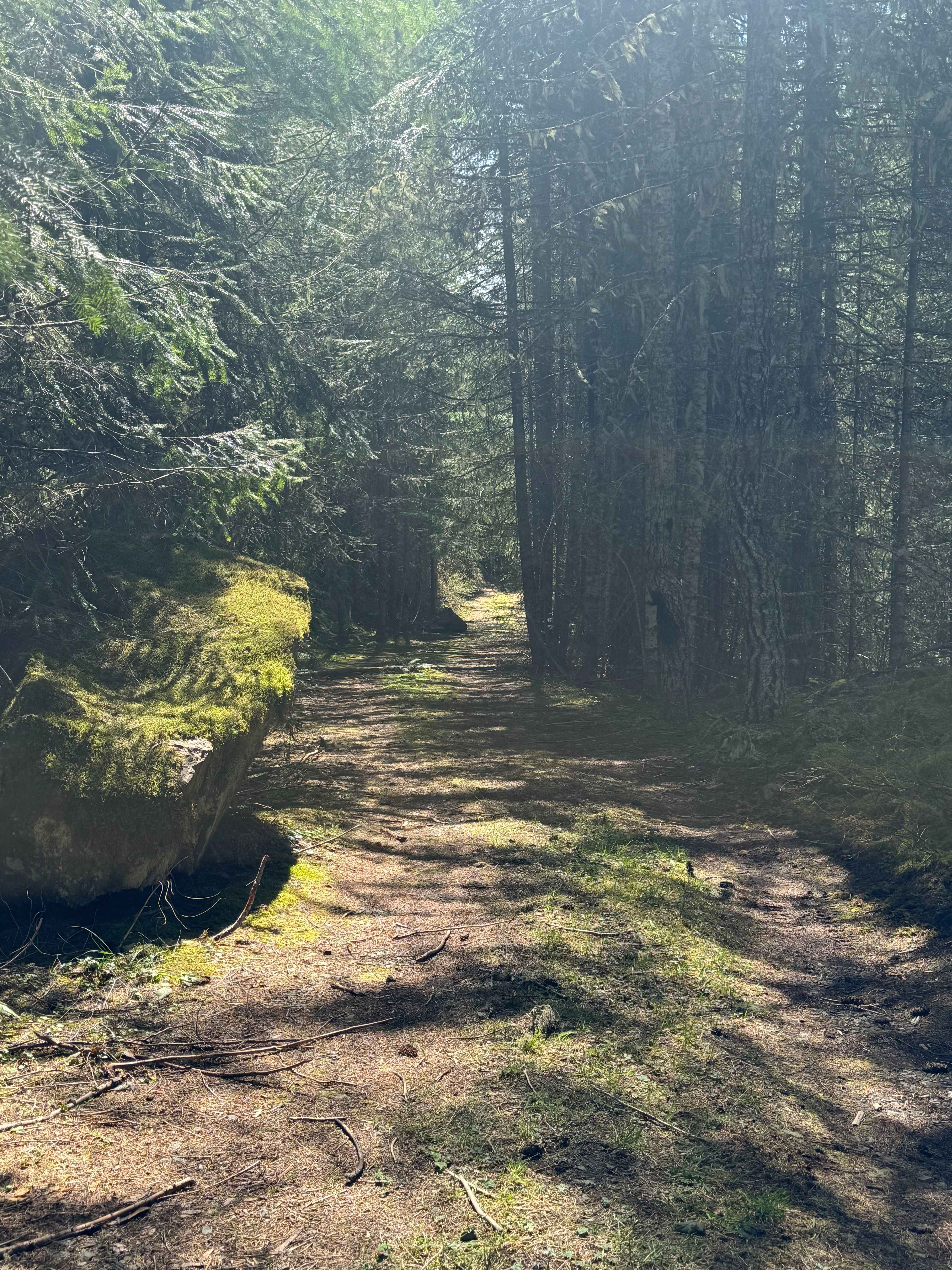
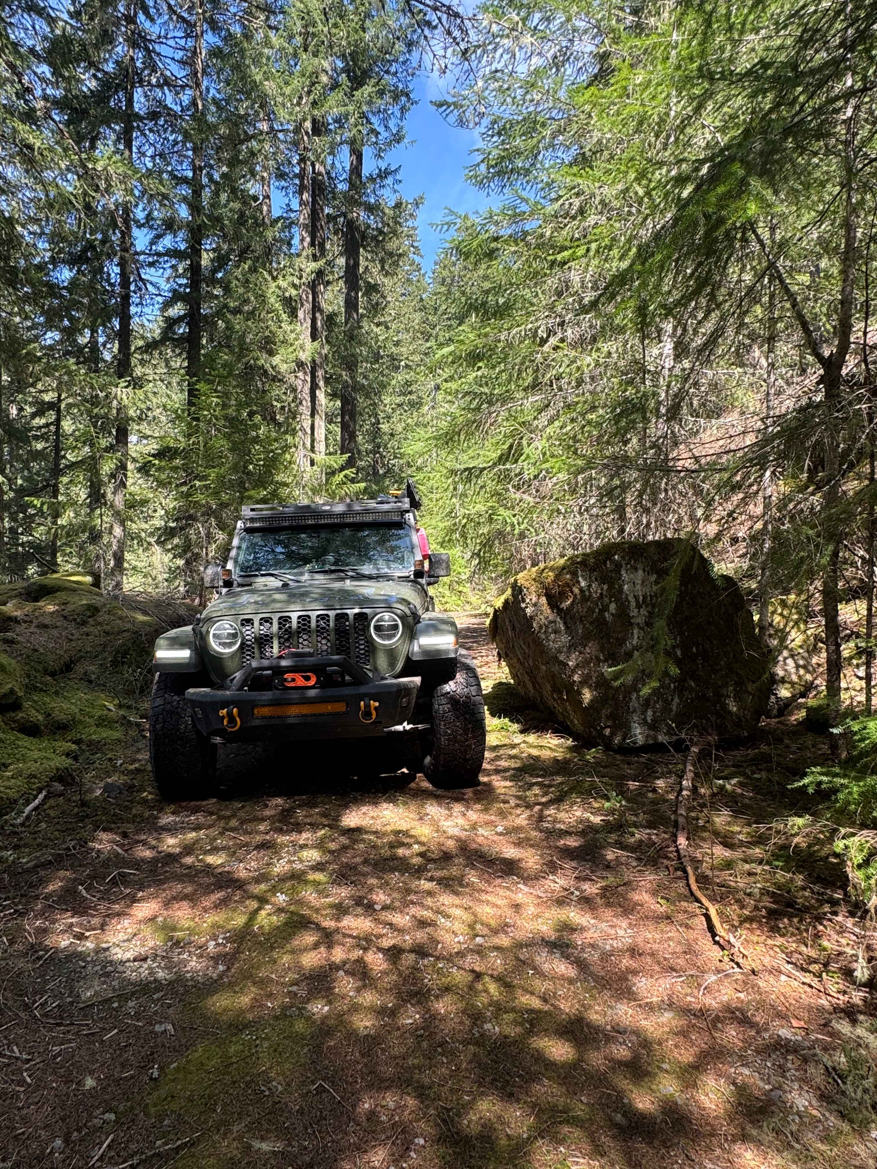
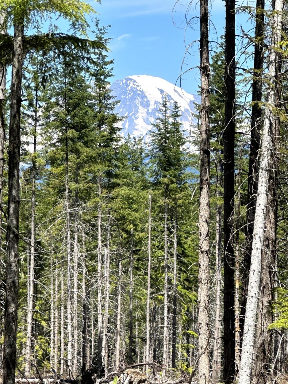
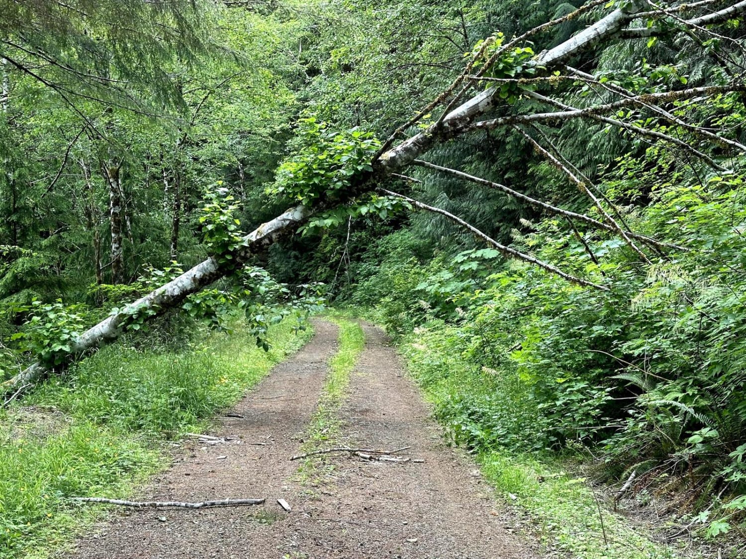
This is a steep, narrow trail that climbs high up on a ridge. At the top you have beautiful campsites and overlook of the Tatoosh Ridge and Mt Ranier. The trail starts off as an easy gravel road, but as you start to climb it becomes narrow with ruts over a foot deep in some places. The pitch is 19% and you are straddling a rut on a ledge leading to a sharp turn/switchback. The higher up you go the more narrow and overgrown the trail becomes. You can expect minor pin striping, and right before the top/end there is a large moss covered boulder sitting on the trail. The forest is thick, but it opens at the top rewarding the climb with breathtaking views. There was little cell phone service, and no amenities other than dispersed camping pull offs with pre-existing fire rings. This trail is closed and has a locked gate from December 1st through April 1st. From the bottom of the trail you are approximately 10 miles from the City of Packwood where you will find all the services and supplies you could need.
Photos of Cortright Junction - FR 4510
Difficulty
Steep, narrow trail up to the top of a ridge offering camping and views of Tatoosh Ridge, Mt Ranier, and Mt St Helens. 19% pitch on trail, very overgrown towards the top.
Status Reports
Cortright Junction - FR 4510 can be accessed by the following ride types:
- High-Clearance 4x4
- SUV
- SxS (60")
- ATV (50")
- Dirt Bike
Cortright Junction - FR 4510 Map
Popular Trails
Muddled Meanderings
Greenhorn Creek Road

CG 1400 Connecting Trail
Cougar Mountain Trail
The onX Offroad Difference
onX Offroad combines trail photos, descriptions, difficulty ratings, width restrictions, seasonality, and more in a user-friendly interface. Available on all devices, with offline access and full compatibility with CarPlay and Android Auto. Discover what you’re missing today!