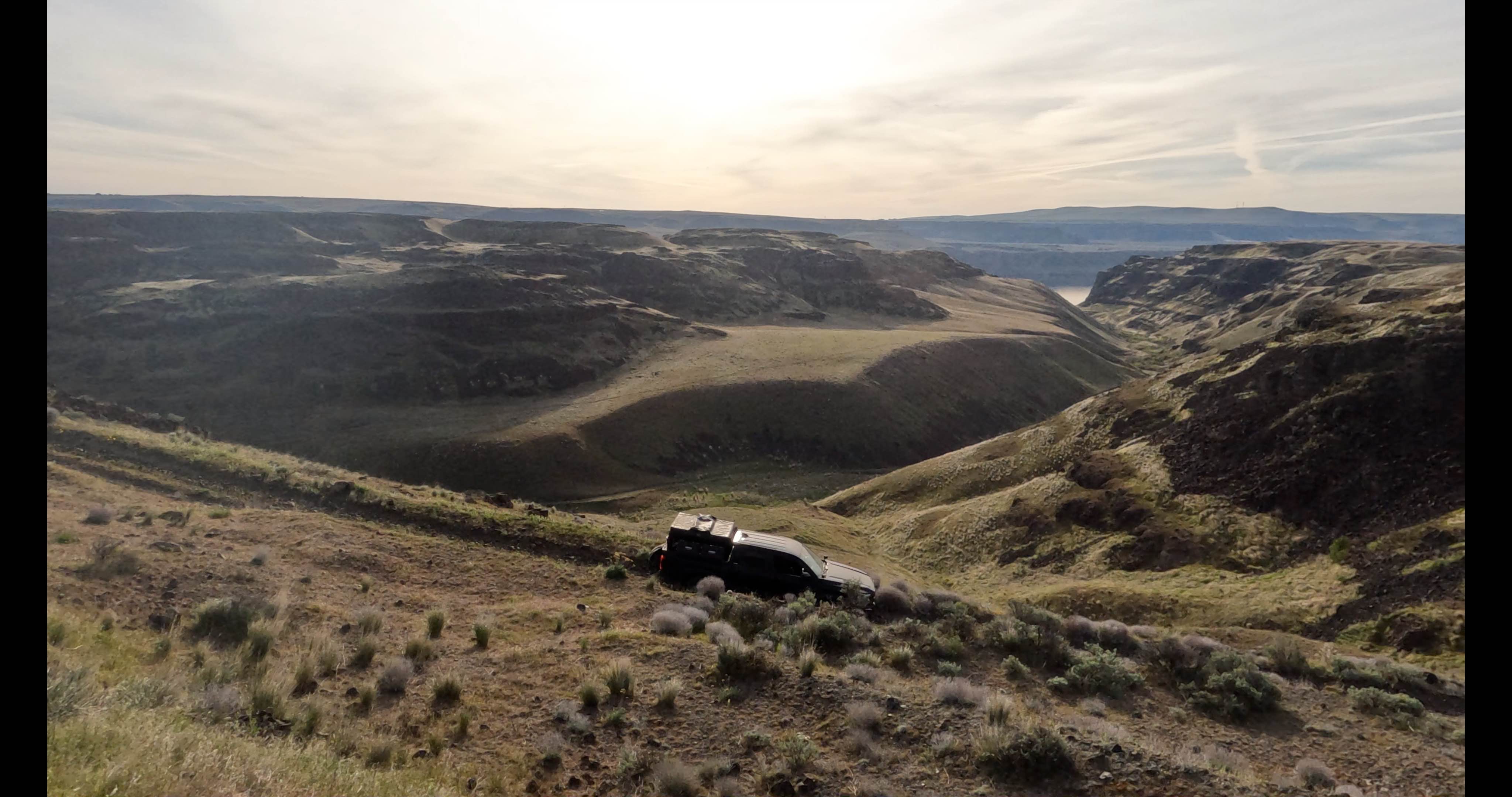
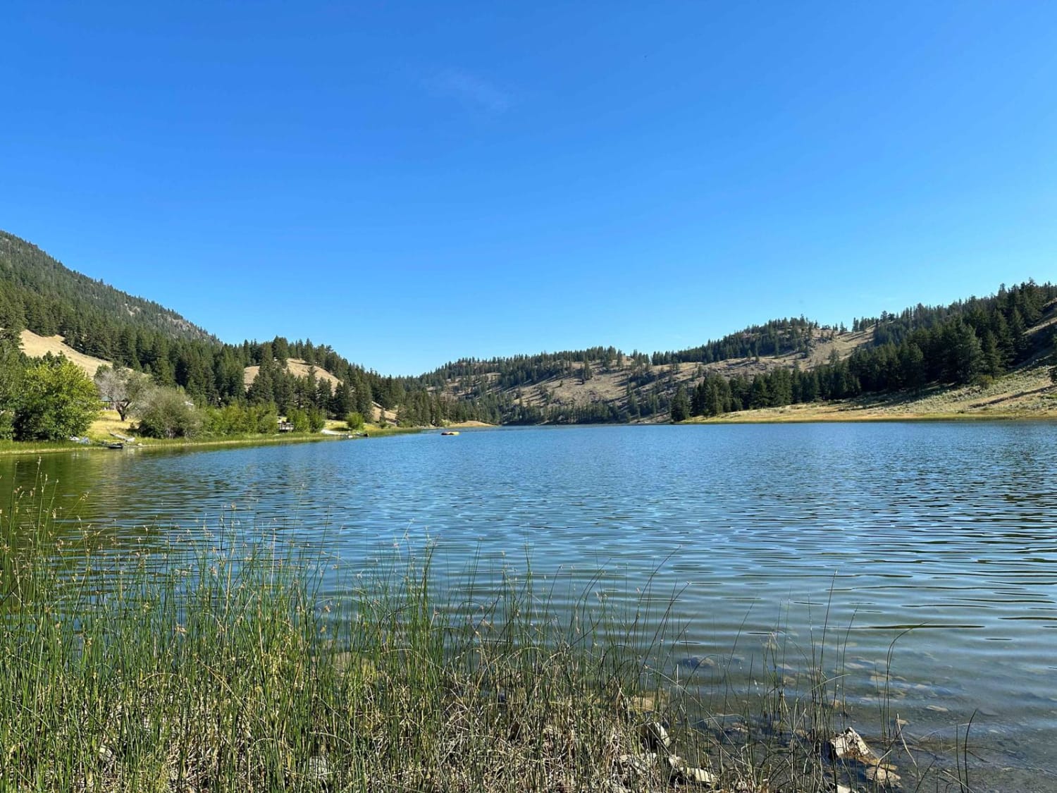
Off-Road Trails in Washington
Discover off-road trails in Washington
Learn more about Cavanaugh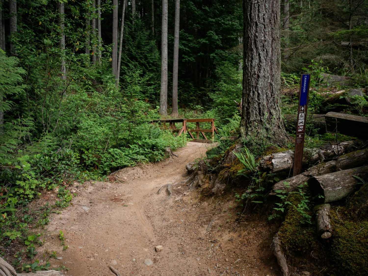
Cavanaugh
Total Miles
1.2
Tech Rating
Easy
Best Time
Spring, Summer, Fall, Winter
Learn more about Cave Creek Trail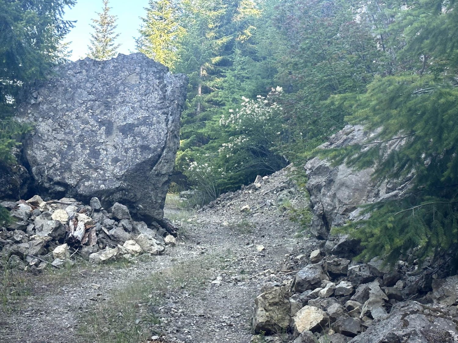
Cave Creek Trail
Total Miles
2.9
Tech Rating
Easy
Best Time
Spring, Summer, Fall
Learn more about Cayuse Creek Cruise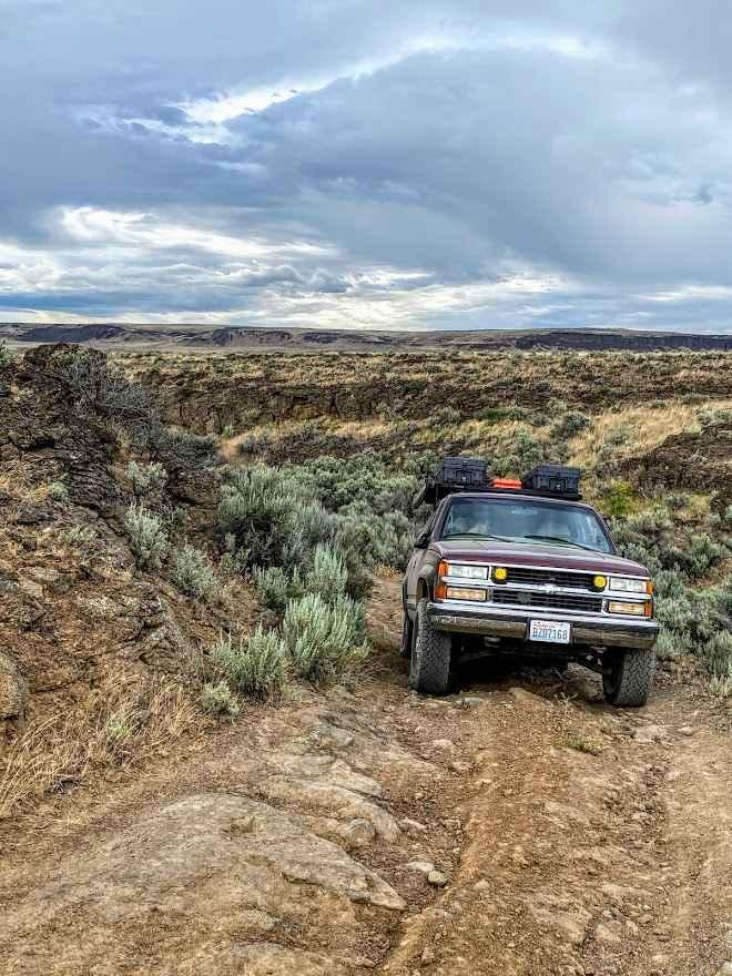
Cayuse Creek Cruise
Total Miles
6.2
Tech Rating
Moderate
Best Time
Spring, Summer, Fall
Learn more about Cedar Creek Road
Cedar Creek Road
Total Miles
5.1
Tech Rating
Easy
Best Time
Spring, Summer, Fall
Learn more about Centennial 
Centennial
Total Miles
2.0
Tech Rating
Moderate
Best Time
Spring, Summer, Fall, Winter

Learn more about CG 1400 Connecting Trail
CG 1400 Connecting Trail
Total Miles
8.9
Tech Rating
Easy
Best Time
Spring, Summer, Fall
Learn more about CG 1500 / CG 1400
CG 1500 / CG 1400
Total Miles
4.5
Tech Rating
Easy
Best Time
Spring, Summer, Fall
Learn more about CG 2030 / CG 2037 / CG 2200
CG 2030 / CG 2037 / CG 2200
Total Miles
7.0
Tech Rating
Moderate
Best Time
Spring, Summer, Fall
Learn more about Chewelah Creek
Chewelah Creek
Total Miles
1.7
Tech Rating
Easy
Best Time
Spring, Summer, Fall
Learn more about Chiwawa Loop Trail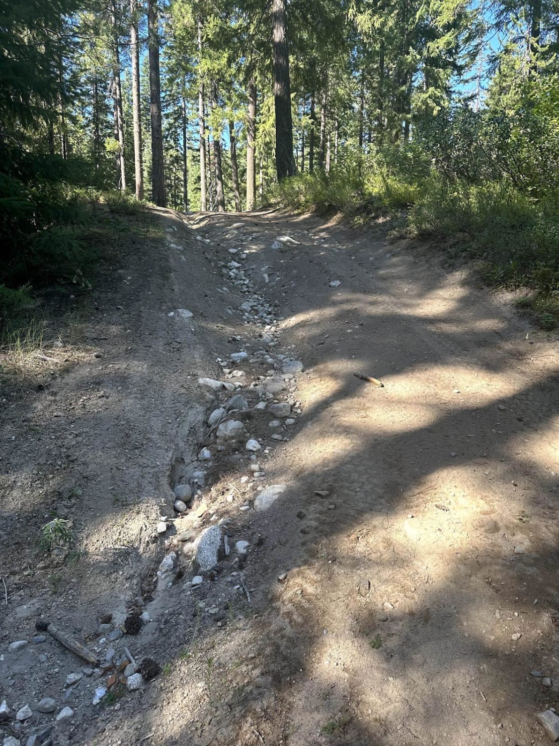
Chiwawa Loop Trail
Total Miles
6.5
Tech Rating
Easy
Best Time
Summer, Fall, Spring
Learn more about Chiwawa Valley Trail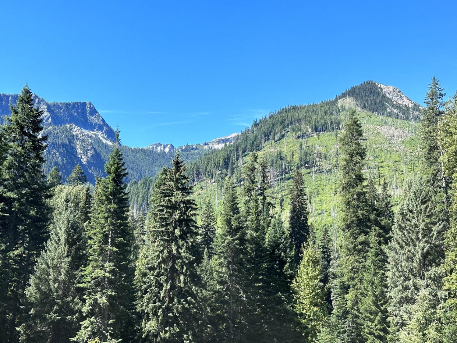
Chiwawa Valley Trail
Total Miles
13.3
Tech Rating
Easy
Best Time
Spring, Summer, Fall
Learn more about Church Creek Area Trail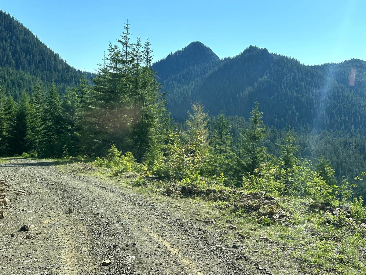
Church Creek Area Trail
Total Miles
12.7
Tech Rating
Easy
Best Time
Spring, Summer, Fall
Learn more about Church Mountain Road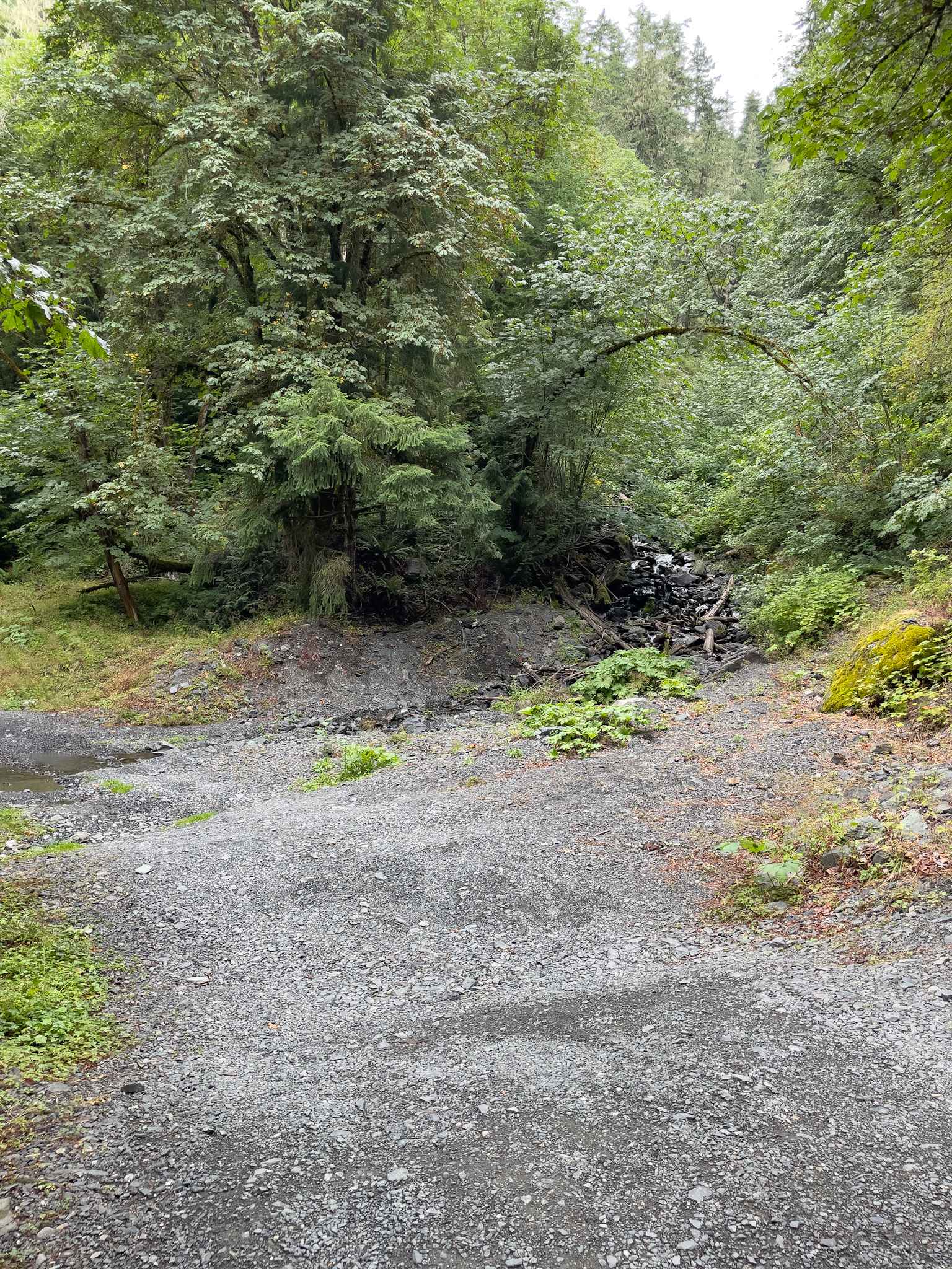
Church Mountain Road
Total Miles
3.0
Tech Rating
Easy
Best Time
Summer, Fall
Learn more about Cispus Valley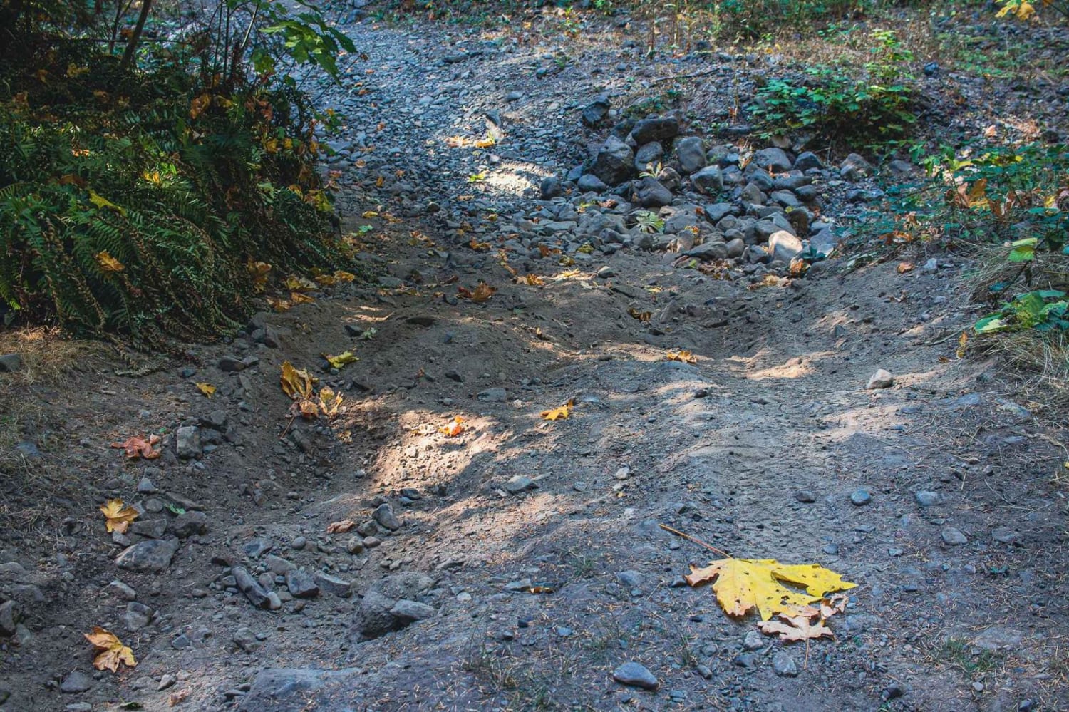
Cispus Valley
Total Miles
4.0
Tech Rating
Easy
Best Time
Spring, Summer, Fall
ATV trails in Washington


Learn more about 4104504 - Deep Woods Adventure
4104504 - Deep Woods Adventure
Total Miles
5.8
Tech Rating
Moderate
Best Time
Spring, Summer, Fall
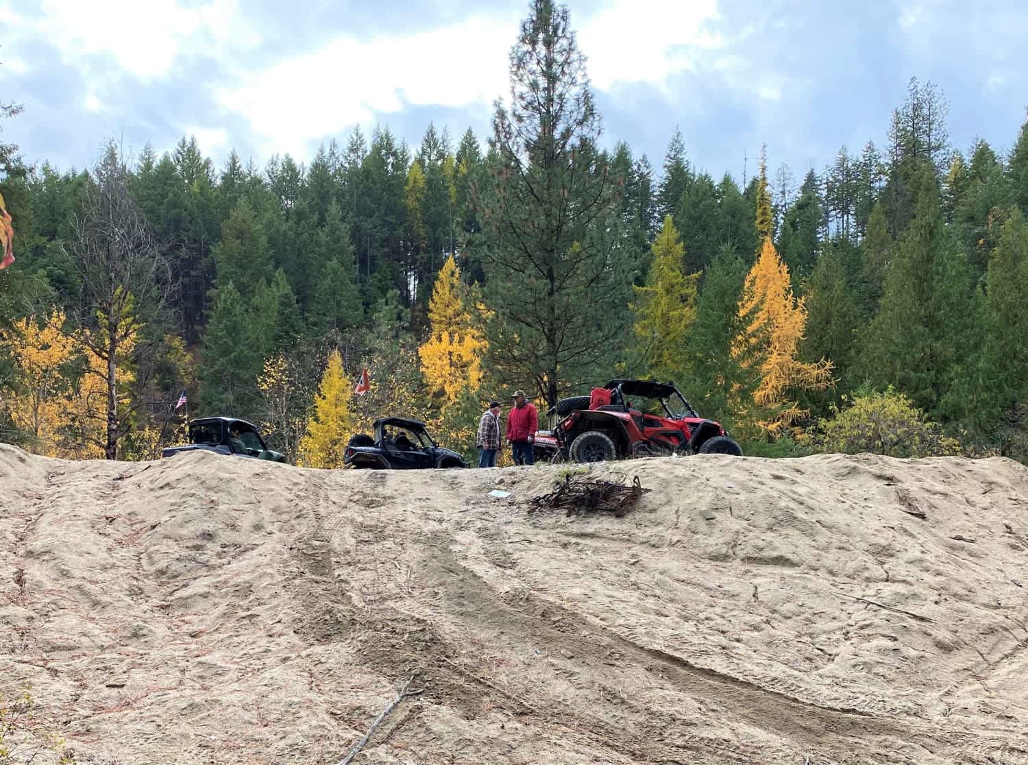
UTV/side-by-side trails in Washington
Learn more about 4104504 - Deep Woods Adventure
4104504 - Deep Woods Adventure
Total Miles
5.8
Tech Rating
Moderate
Best Time
Spring, Summer, Fall
The onX Offroad Difference
onX Offroad combines trail photos, descriptions, difficulty ratings, width restrictions, seasonality, and more in a user-friendly interface. Available on all devices, with offline access and full compatibility with CarPlay and Android Auto. Discover what you’re missing today!