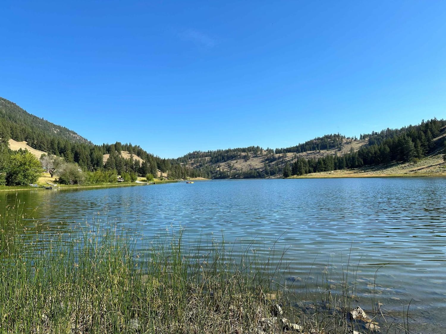
Chopaka Lake
Total Miles
26.1
Technical Rating
Best Time
Summer
Trail Type
Full-Width Road
Accessible By
Trail Overview
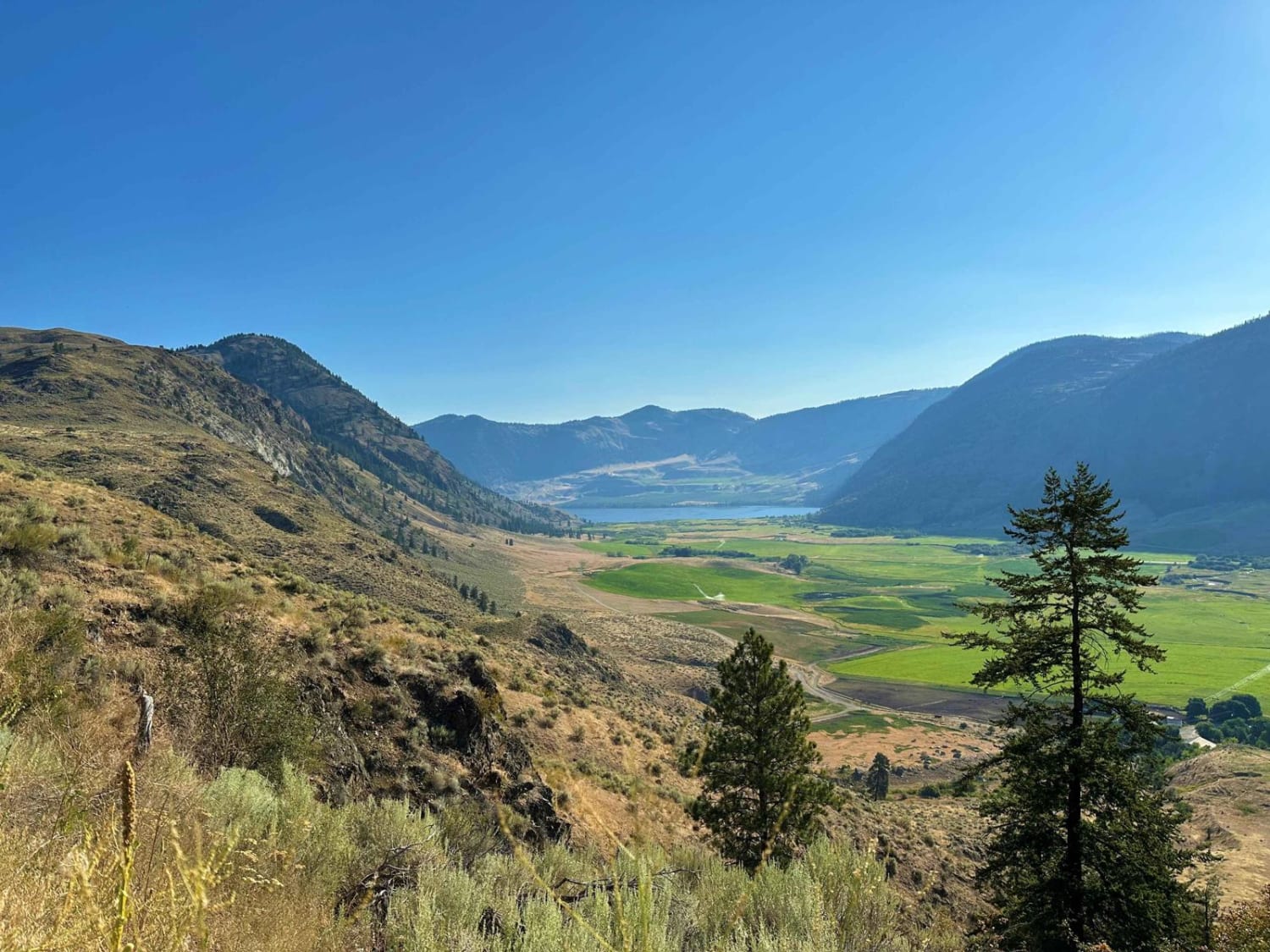
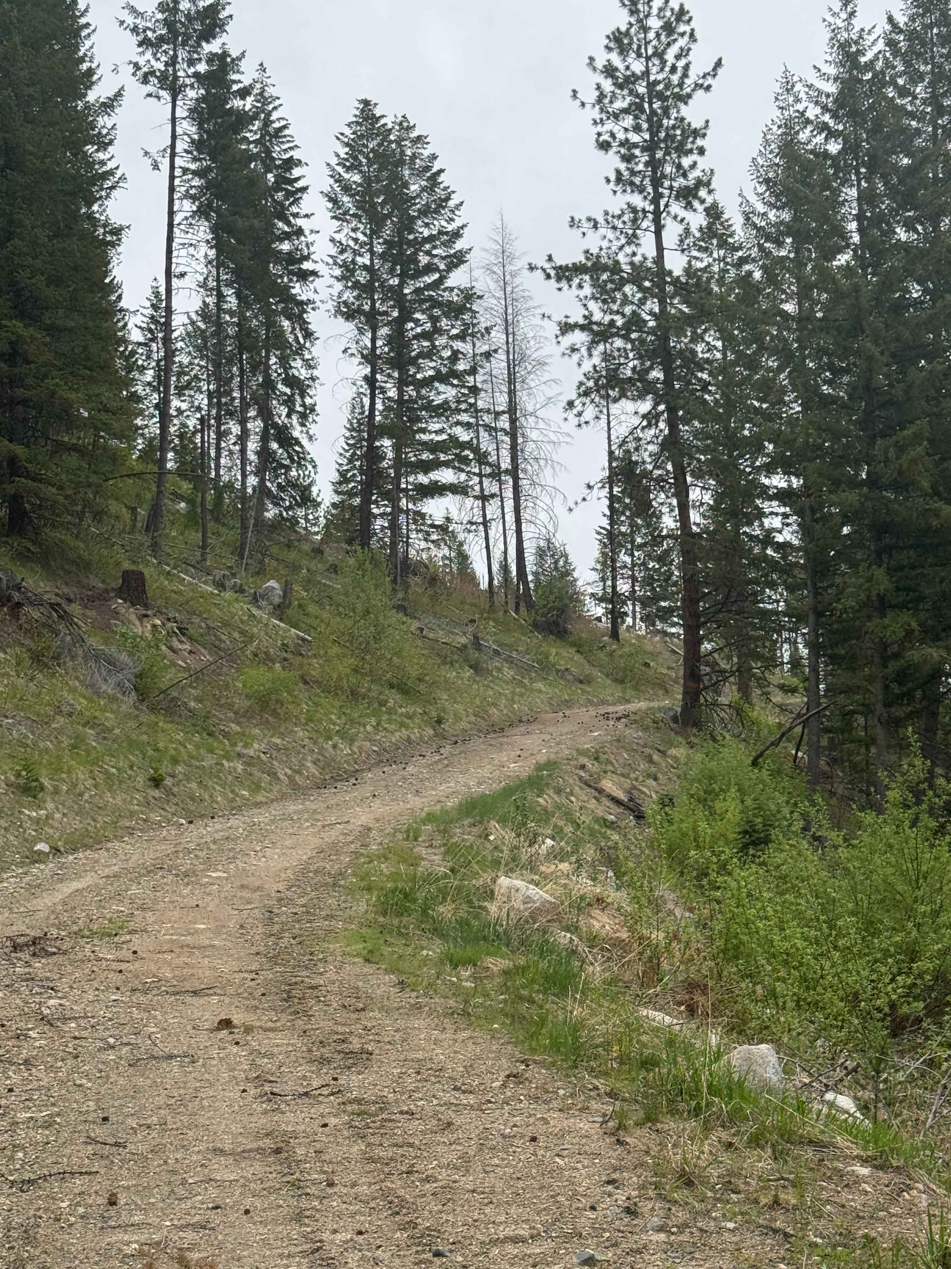
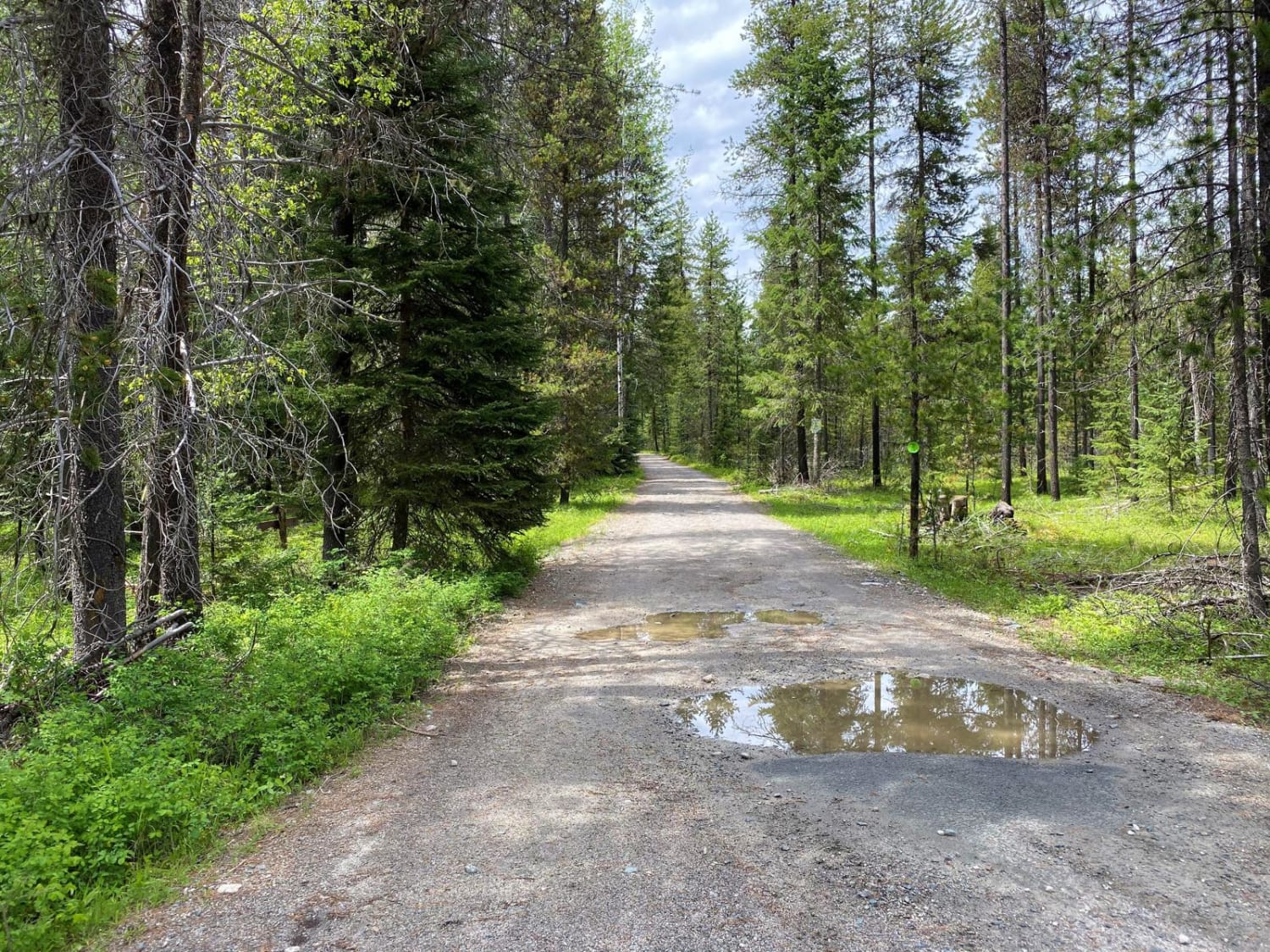
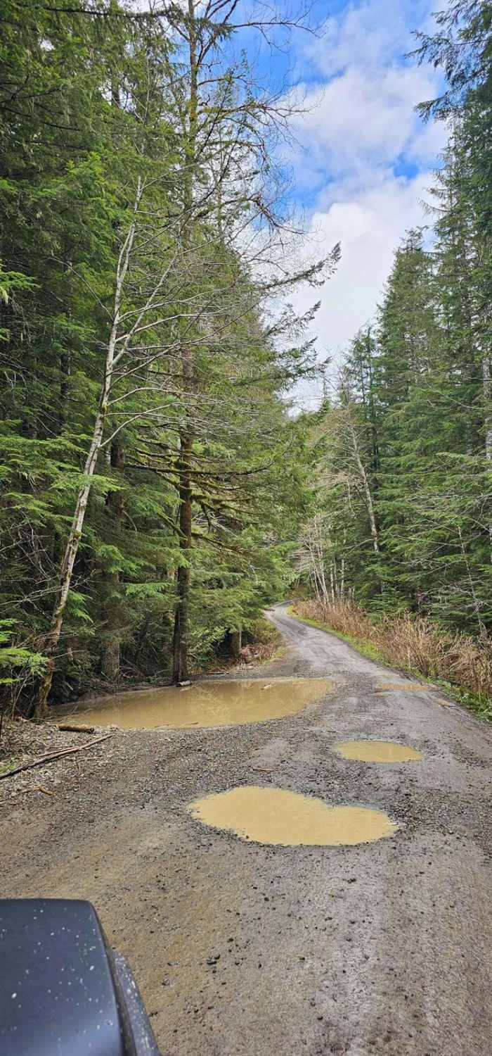
This trail is mostly gravel state and county roads leading through the Sinlahekin Wildlife Refuge. It goes up the steep Chopaka Grade overlooking Palmer Lake and Palmer Mountain (historic gold mining country) and to Chopaka Lake, a favorite camping, swimming, boating, and fishing spot near Loomis, Washington. You'll bypass Conconully on this route, but it's easy to return back through the Sinlahekin and continue south to town for full services (motels, state park, RV parks, bars and restaurants, and a mini-mart/gas station). This route links with the Loomis Forest Nine Mile route, as well as routes near Conconully such as Ruby Grade and Loup Loup. High clearance is recommended, and 4WD is required in snow which can be on the ground from fall to early summer. Expect rocks, steep shelf roads with limited turnouts, and minor washouts. Chopaka Lake has an established campground and pit toilet with a picnic area.
Photos of Chopaka Lake
Difficulty
High clearance is recommended due to frequent rocky sections with minor washouts and potholes, lots of washboard areas, and even the short sections of paved road being frequently covered with gravel due to limited road maintenance. The steep shelf roads have limited turn-outs for passing.
History
Most roads are mining roads or for fishing and hunting.
Status Reports
Chopaka Lake can be accessed by the following ride types:
- High-Clearance 4x4
- SUV
- SxS (60")
- ATV (50")
- Dirt Bike
Chopaka Lake Map
Popular Trails
Fritz Creek Ext - FS 2000-420

LPO-Hansen-Robins Creek
NF 7720000 Spur
The onX Offroad Difference
onX Offroad combines trail photos, descriptions, difficulty ratings, width restrictions, seasonality, and more in a user-friendly interface. Available on all devices, with offline access and full compatibility with CarPlay and Android Auto. Discover what you’re missing today!