Off-Road Trails in Washington
Discover off-road trails in Washington
Learn more about Cougar Creek Road
Cougar Creek Road
Total Miles
2.9
Tech Rating
Easy
Best Time
Summer, Fall
Learn more about Cougar Creek Road - FS 812200-802200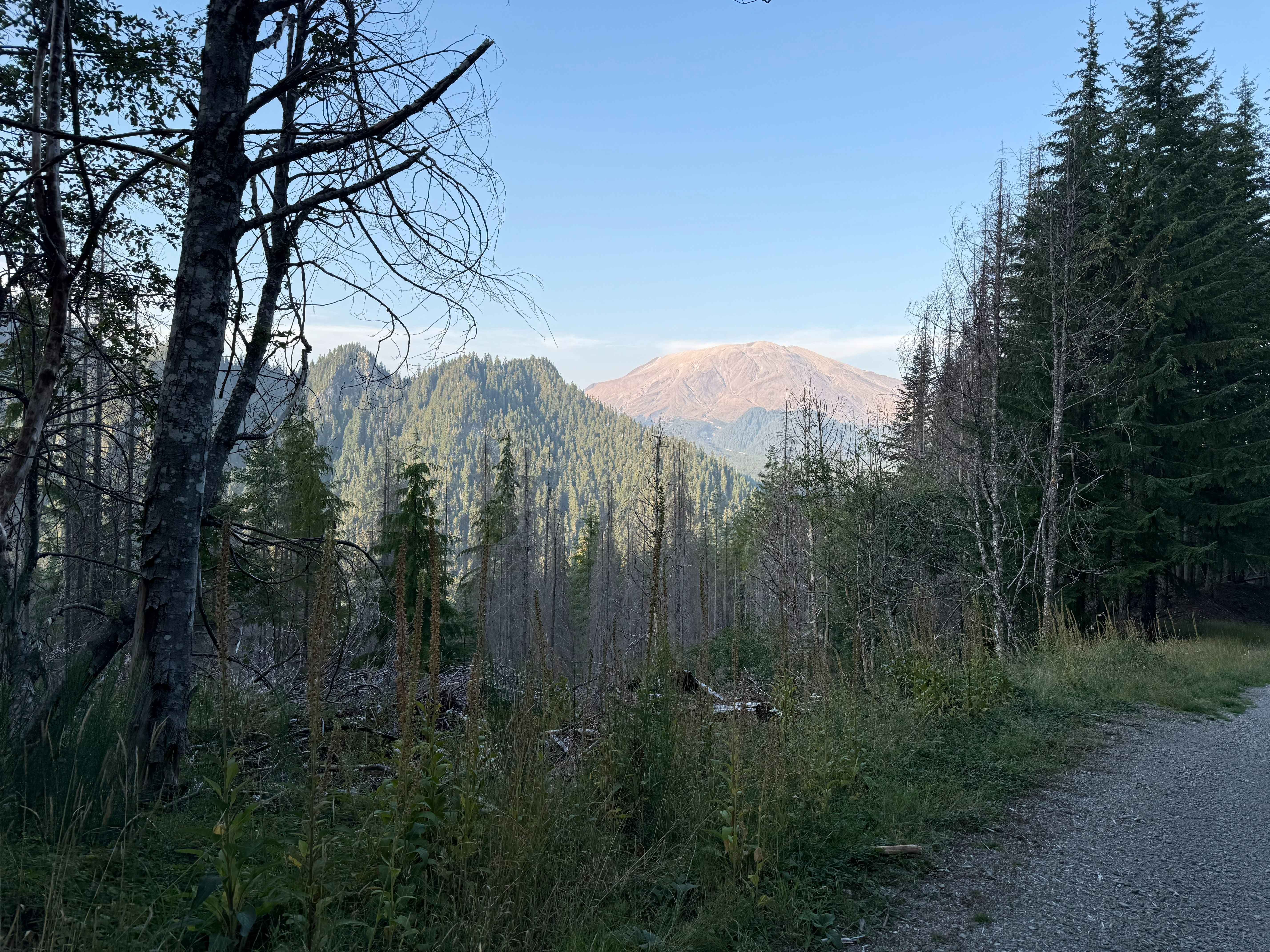
Cougar Creek Road - FS 812200-802200
Total Miles
2.6
Tech Rating
Easy
Best Time
Summer, Spring, Fall
Learn more about Cougar Mountain Trail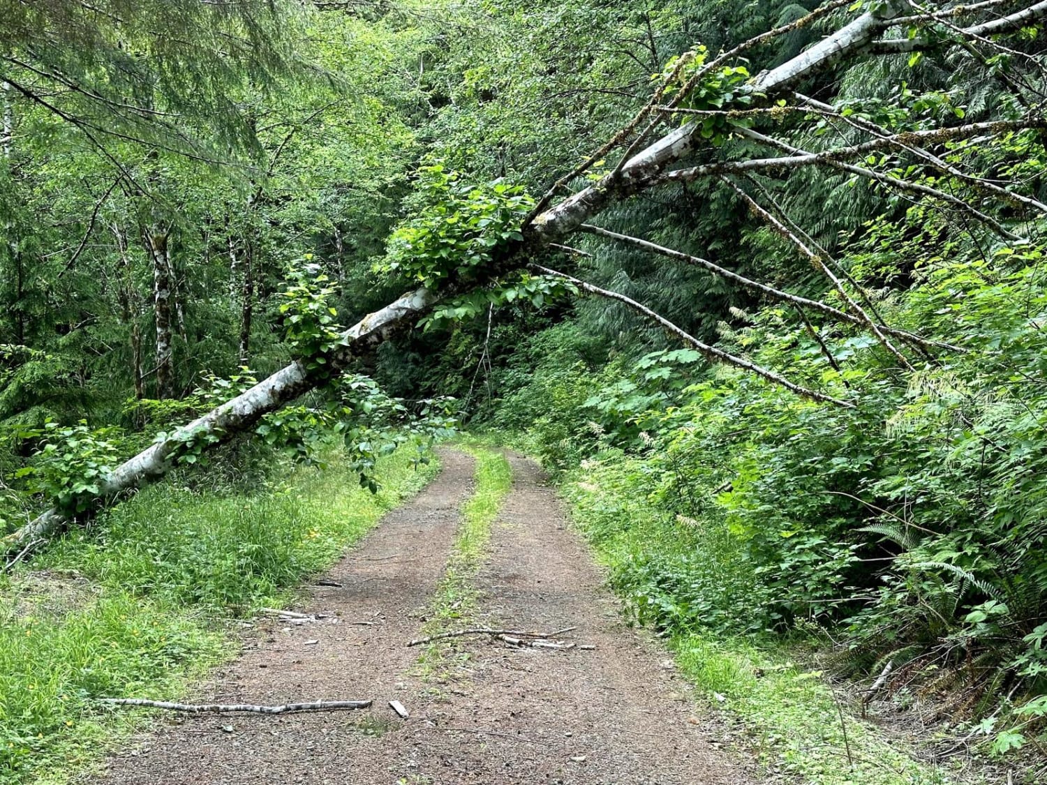
Cougar Mountain Trail
Total Miles
6.3
Tech Rating
Easy
Best Time
Spring, Summer, Fall
Learn more about Cougar Rock Connecting Trail
Cougar Rock Connecting Trail
Total Miles
4.1
Tech Rating
Easy
Best Time
Spring, Summer, Fall


Learn more about Cow Camp - NF3111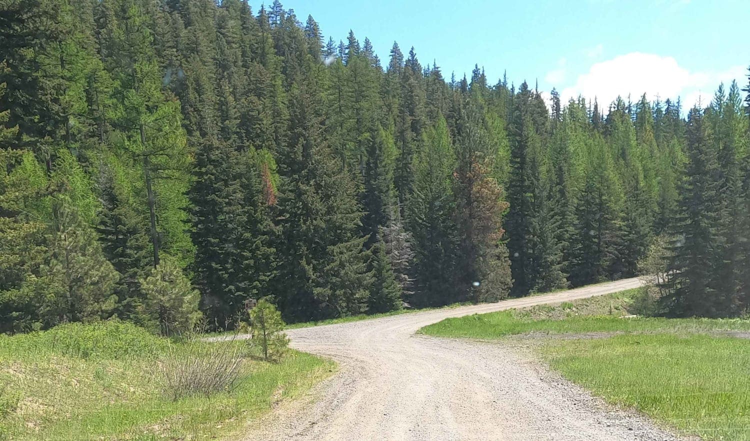
Cow Camp - NF3111
Total Miles
4.9
Tech Rating
Easy
Best Time
Spring, Summer, Fall
Learn more about Cow Creek Road 4415040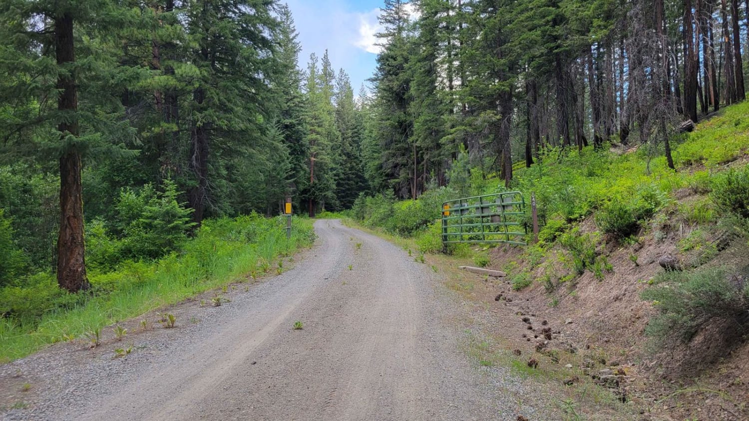
Cow Creek Road 4415040
Total Miles
4.4
Tech Rating
Easy
Best Time
Fall, Summer

Learn more about Coyote- FS 5210023
Coyote- FS 5210023
Total Miles
1.3
Tech Rating
Easy
Best Time
Spring, Summer, Fall
Learn more about Crater Creek - 3300000
Crater Creek - 3300000
Total Miles
7.1
Tech Rating
Easy
Best Time
Spring, Summer, Fall, Winter
Learn more about Creek Gravel Grumbler Road
Creek Gravel Grumbler Road
Total Miles
6.4
Tech Rating
Easy
Best Time
Summer, Fall, Spring
Learn more about Cross Over Road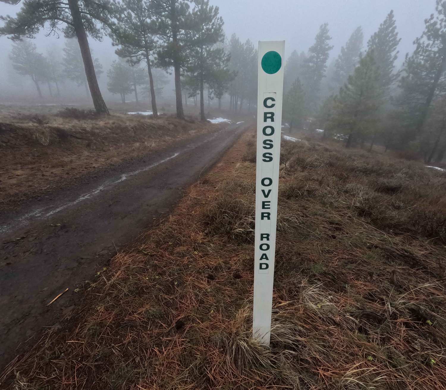
Cross Over Road
Total Miles
3.6
Tech Rating
Easy
Best Time
Spring, Summer, Fall, Winter
Learn more about Curt's Conundrum 
Curt's Conundrum
Total Miles
1.3
Tech Rating
Moderate
Best Time
Spring, Summer, Fall, Winter
Learn more about Dan's Creek - FS 24
Dan's Creek - FS 24
Total Miles
10.4
Tech Rating
Easy
Best Time
Spring, Summer, Winter, Fall
ATV trails in Washington


Learn more about 4104504 - Deep Woods Adventure
4104504 - Deep Woods Adventure
Total Miles
5.8
Tech Rating
Moderate
Best Time
Spring, Summer, Fall
UTV/side-by-side trails in Washington
Learn more about 4104504 - Deep Woods Adventure
4104504 - Deep Woods Adventure
Total Miles
5.8
Tech Rating
Moderate
Best Time
Spring, Summer, Fall
The onX Offroad Difference
onX Offroad combines trail photos, descriptions, difficulty ratings, width restrictions, seasonality, and more in a user-friendly interface. Available on all devices, with offline access and full compatibility with CarPlay and Android Auto. Discover what you’re missing today!