Cottonwood Divide
Total Miles
35.0
Technical Rating
Best Time
Trail Type
Full-Width Road
Accessible By
Trail Overview
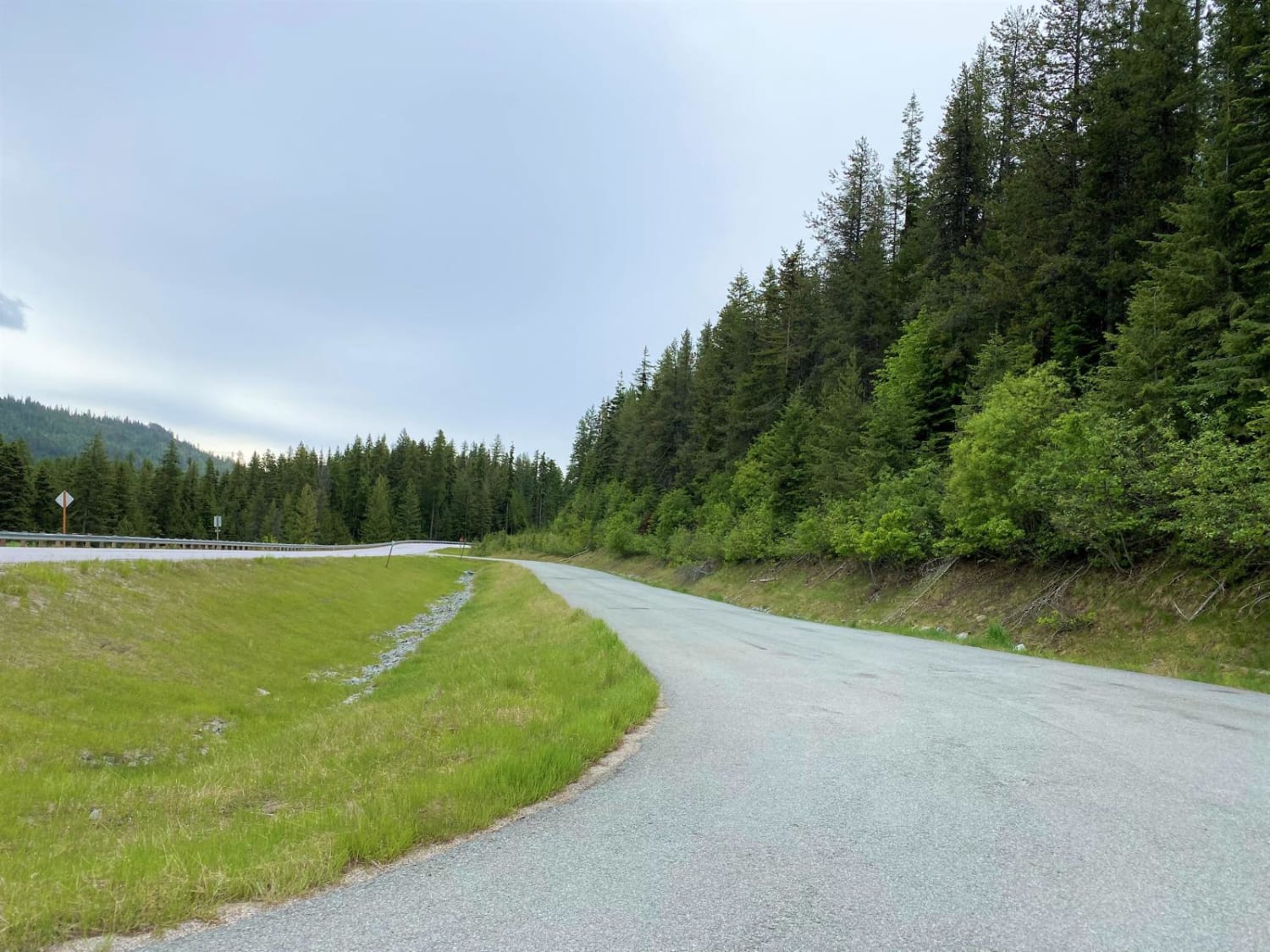
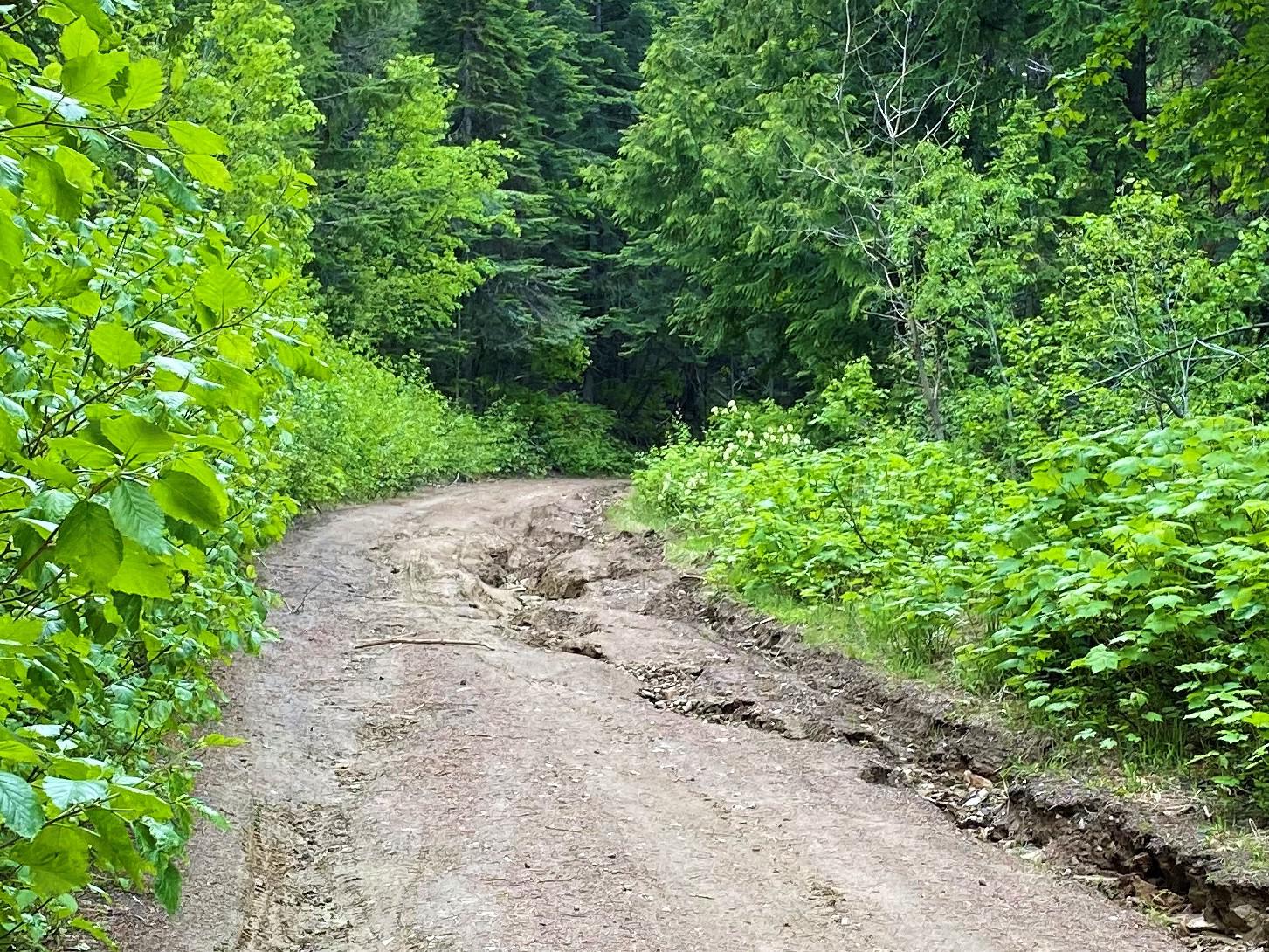
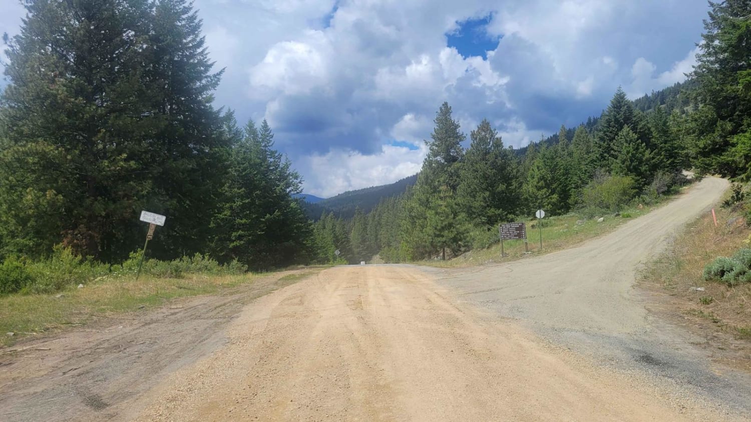
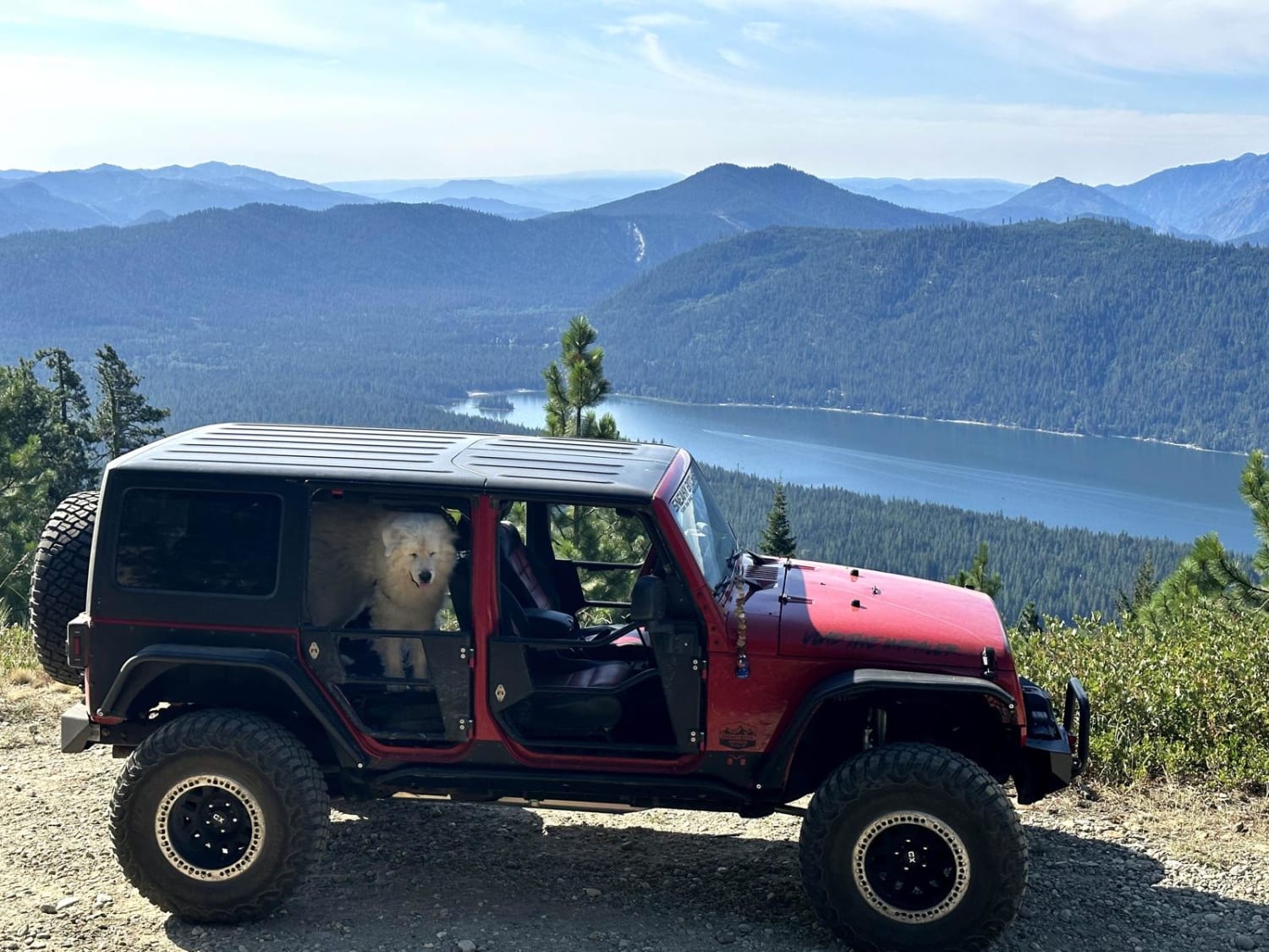
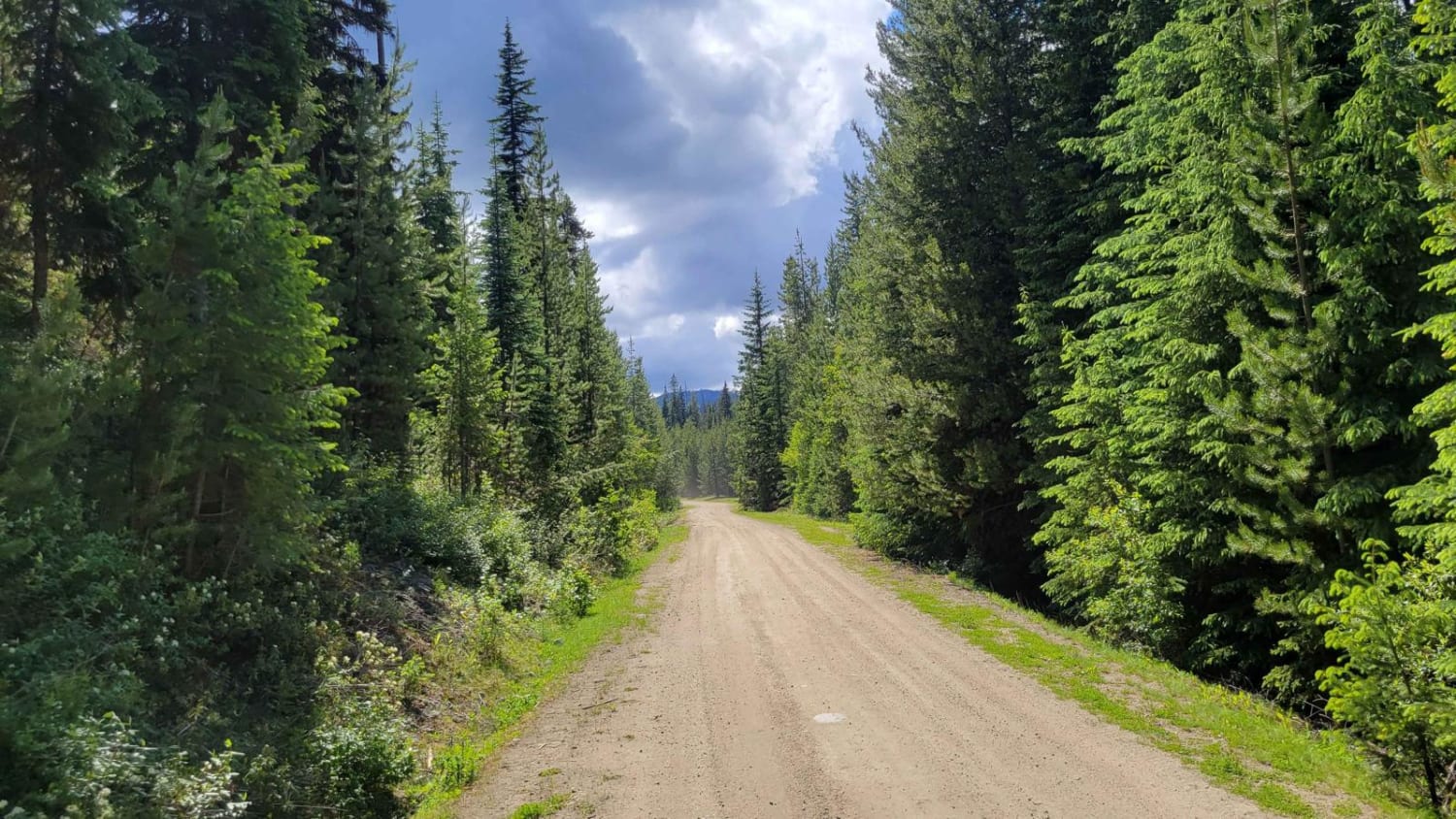
The route encompasses both pavement and gravel roads. Flowery Trail road is paved, but OHV travel is authorized. The route is mainly forested road, with several breaks where you can view distant mountains and valleys. At the southeast end of the route, on Middle Fork Calispell Road, the Delaney Meadow area is a popular camping area. Be aware of heavier traffic in this area.
Photos of Cottonwood Divide
Status Reports
Cottonwood Divide can be accessed by the following ride types:
- High-Clearance 4x4
- SUV
- SxS (60")
- ATV (50")
- Dirt Bike
Cottonwood Divide Map
Popular Trails
Northern Toats Coulee Road
Sepp's Point (Pole Ridge Trail)

Forest Lake Rd 7222
Cougar Creek Road
The onX Offroad Difference
onX Offroad combines trail photos, descriptions, difficulty ratings, width restrictions, seasonality, and more in a user-friendly interface. Available on all devices, with offline access and full compatibility with CarPlay and Android Auto. Discover what you’re missing today!