County Line
Total Miles
5.0
Technical Rating
Best Time
Spring, Summer
Trail Type
Full-Width Road
Accessible By
Trail Overview
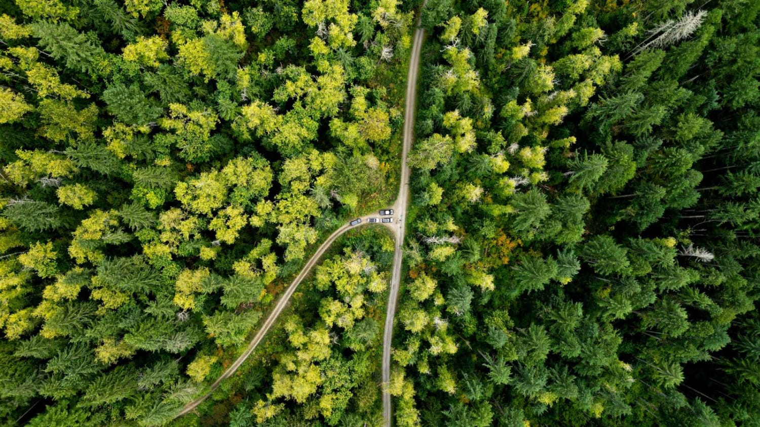
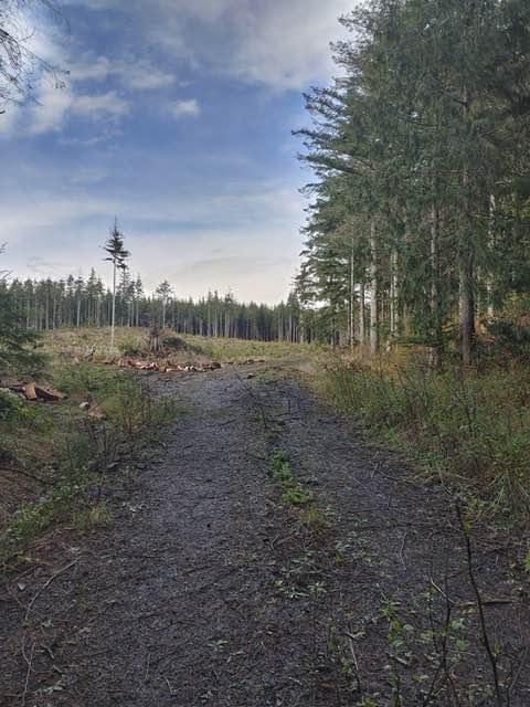
Taking the right fork from the Johnson Ridge trail, this dirt road quickly comes to an open gate and a bridge across Johnson Creek. It is worth stopping here to observe the log waterfall just above the bridge. A series of switchbacks takes you past some interesting rock formations, with rock that quite literally crumbles in your hands. Starting at about mile 3, the road begins to climb rapidly, with many sections over 8 degrees or 15% grade, and some sections reaching as steep as 13 degrees or 27% grade. There are also a number of runoff ditches cut across the road. A little bit of ground clearance, and either high traction tires or airing down are recommended. Once you near the top, there is a section of shelf road along a cliff with some stunning views. The road ends at a gate, a turnaround, and a small pit just before the end. There are a couple of small trails and one amazing view at the end as well. All of the spurs you will see on the map are closed, but many of them make adequate, if not ideal, camping spots. Little to no cell service along this route.
Photos of County Line


Difficulty
The biggest obstacle on this road is the runoff ditches and the steep grades. 4WD is a must.
Status Reports
County Line can be accessed by the following ride types:
- High-Clearance 4x4
- SUV
- SxS (60")
County Line Map
Popular Trails
FS 2200 to White Chuck

Divide Trail North #1
The Small Getaway Amongst Locked Gates
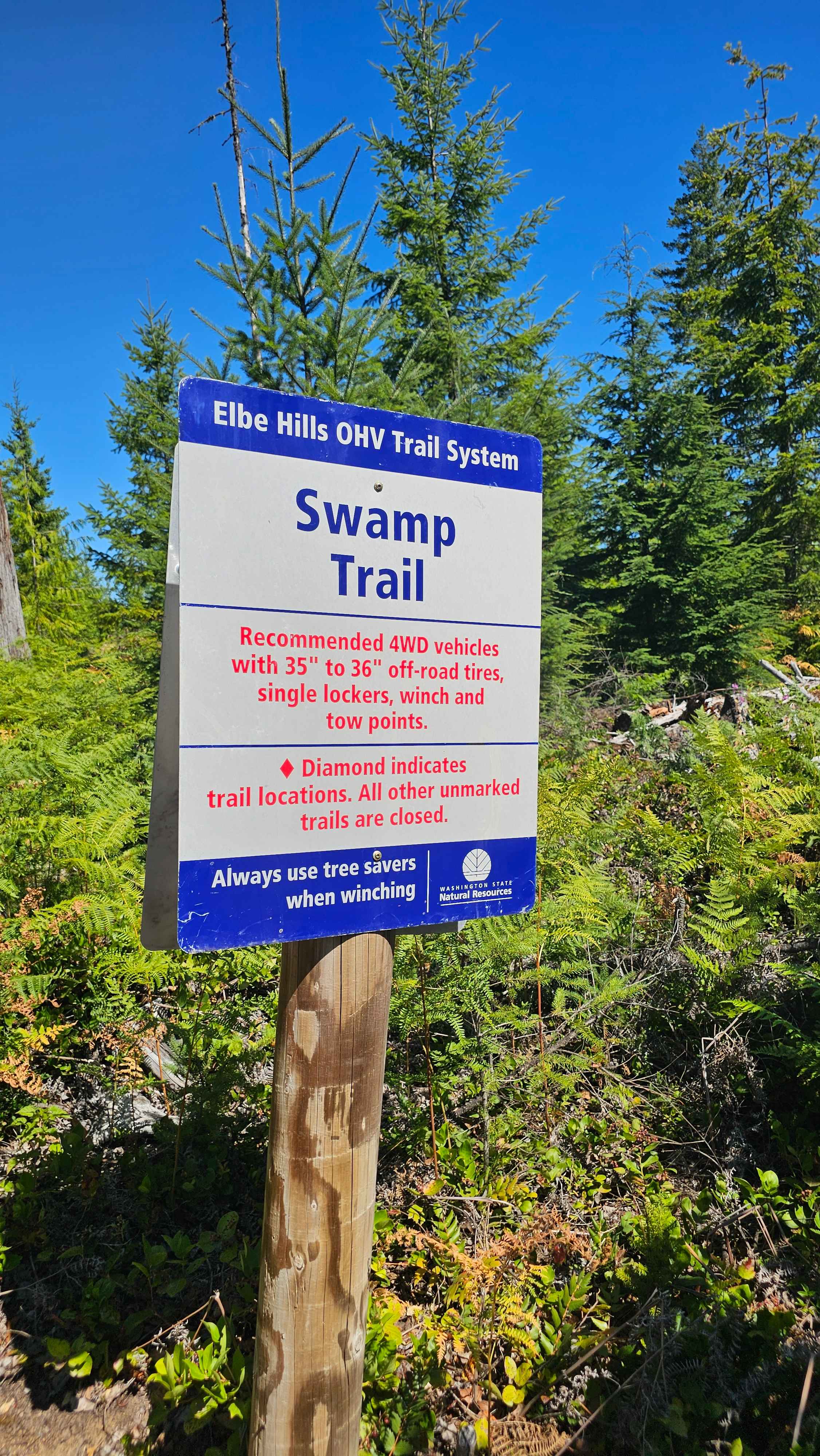
Swamp Trail
The onX Offroad Difference
onX Offroad combines trail photos, descriptions, difficulty ratings, width restrictions, seasonality, and more in a user-friendly interface. Available on all devices, with offline access and full compatibility with CarPlay and Android Auto. Discover what you’re missing today!