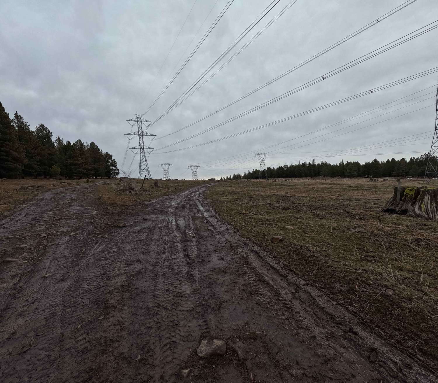
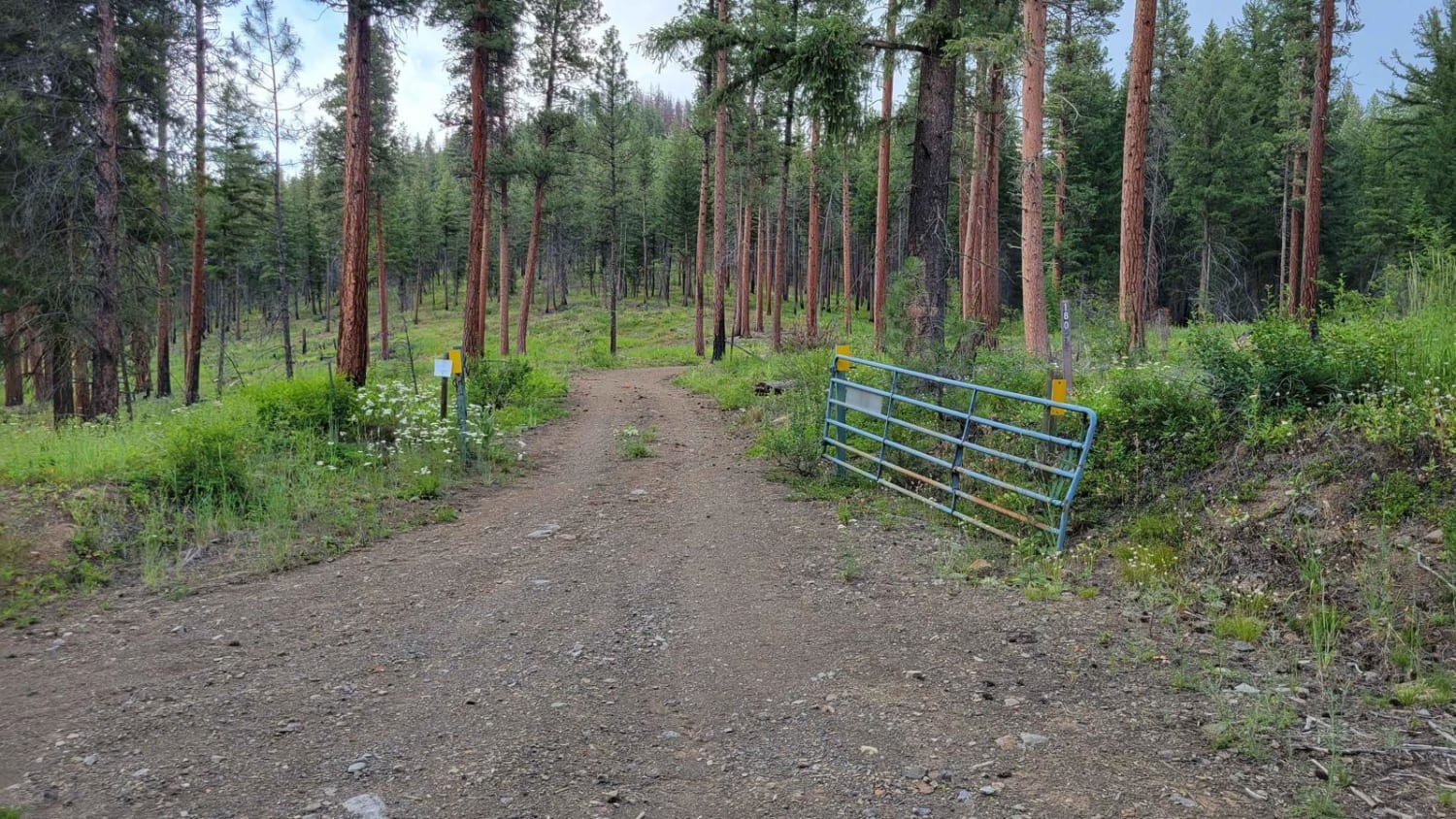
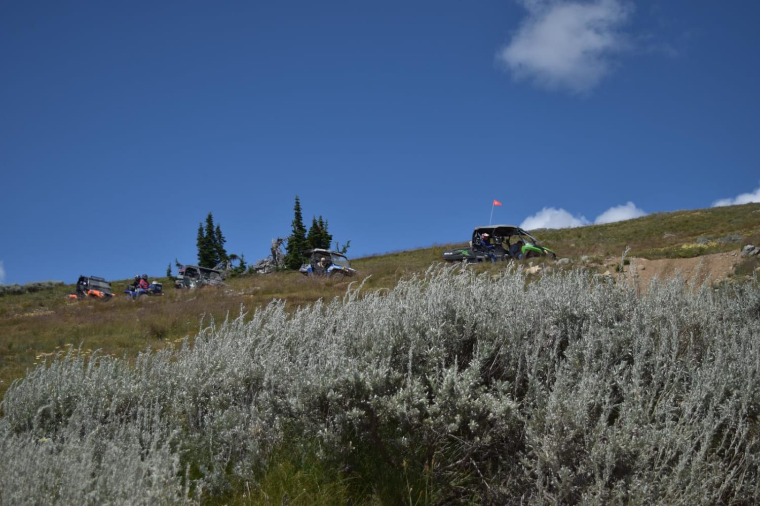
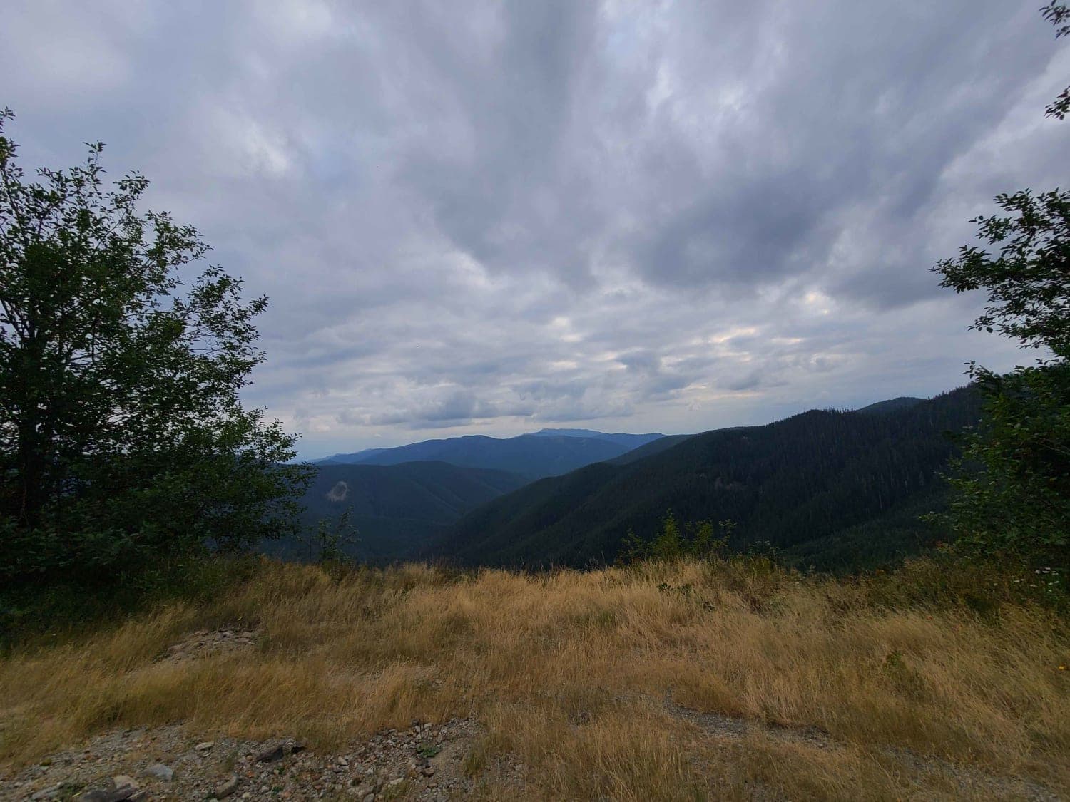
Off-Road Trails in Washington
Discover off-road trails in Washington
Learn more about Butter Creek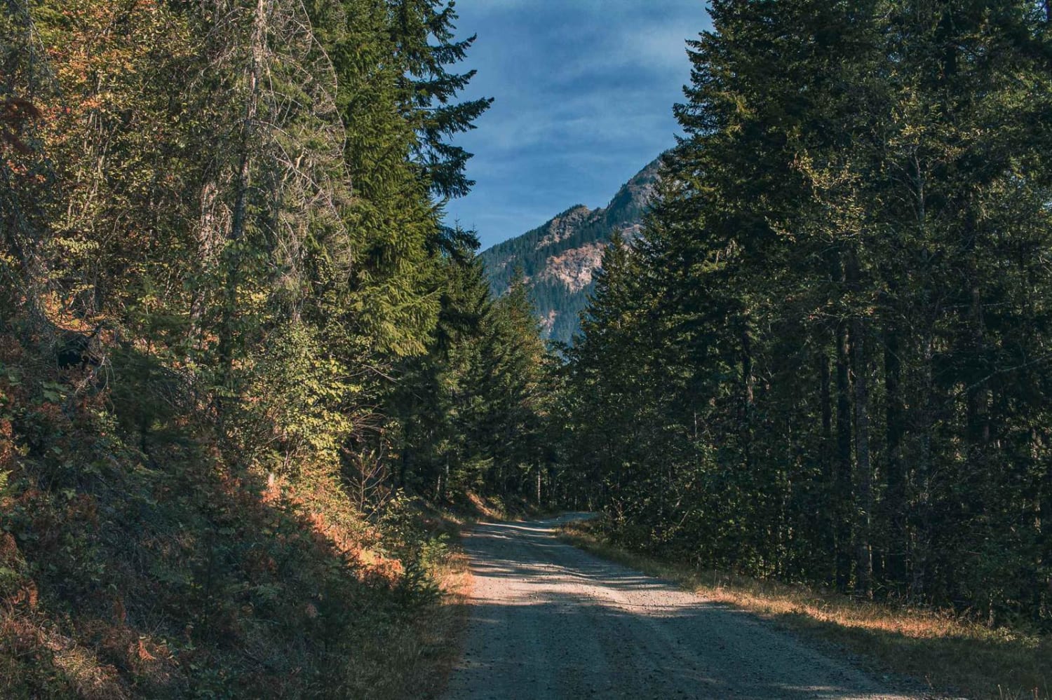
Butter Creek
Total Miles
7.4
Tech Rating
Easy
Best Time
Spring, Summer, Fall, Winter
Learn more about C Line Connector - C Line Road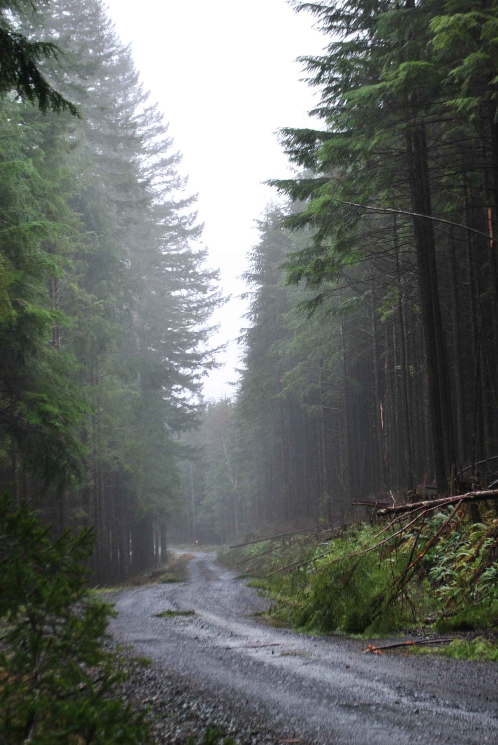
C Line Connector - C Line Road
Total Miles
5.7
Tech Rating
Easy
Best Time
Summer, Fall, Spring
Learn more about Cabin Creek Road (NF-41)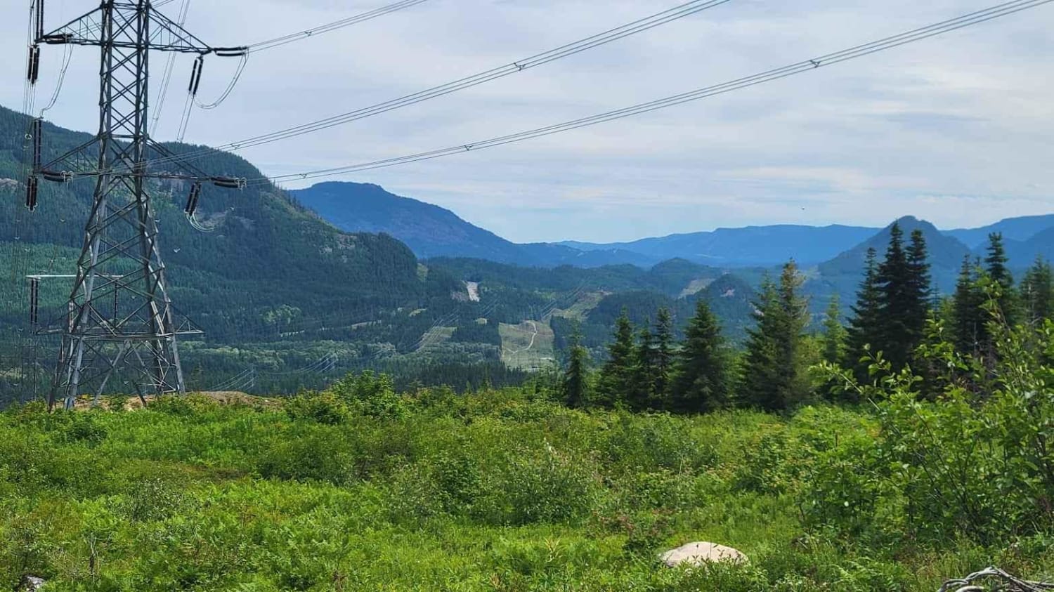
Cabin Creek Road (NF-41)
Total Miles
10.2
Tech Rating
Easy
Best Time
Summer, Fall
Learn more about Cabin Creek Trail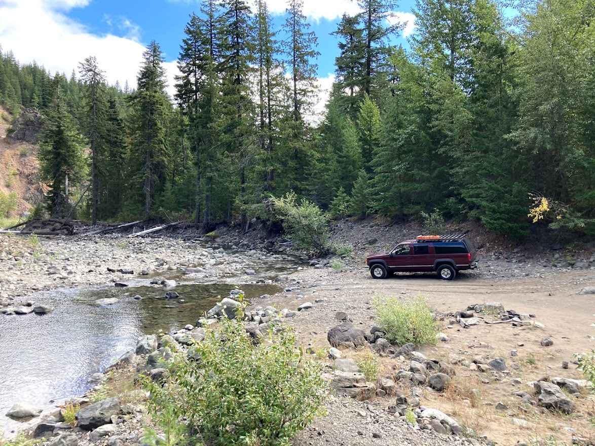
Cabin Creek Trail
Total Miles
2.2
Tech Rating
Easy
Best Time
Spring, Summer, Fall
Learn more about Calispell - Batey Bould Loop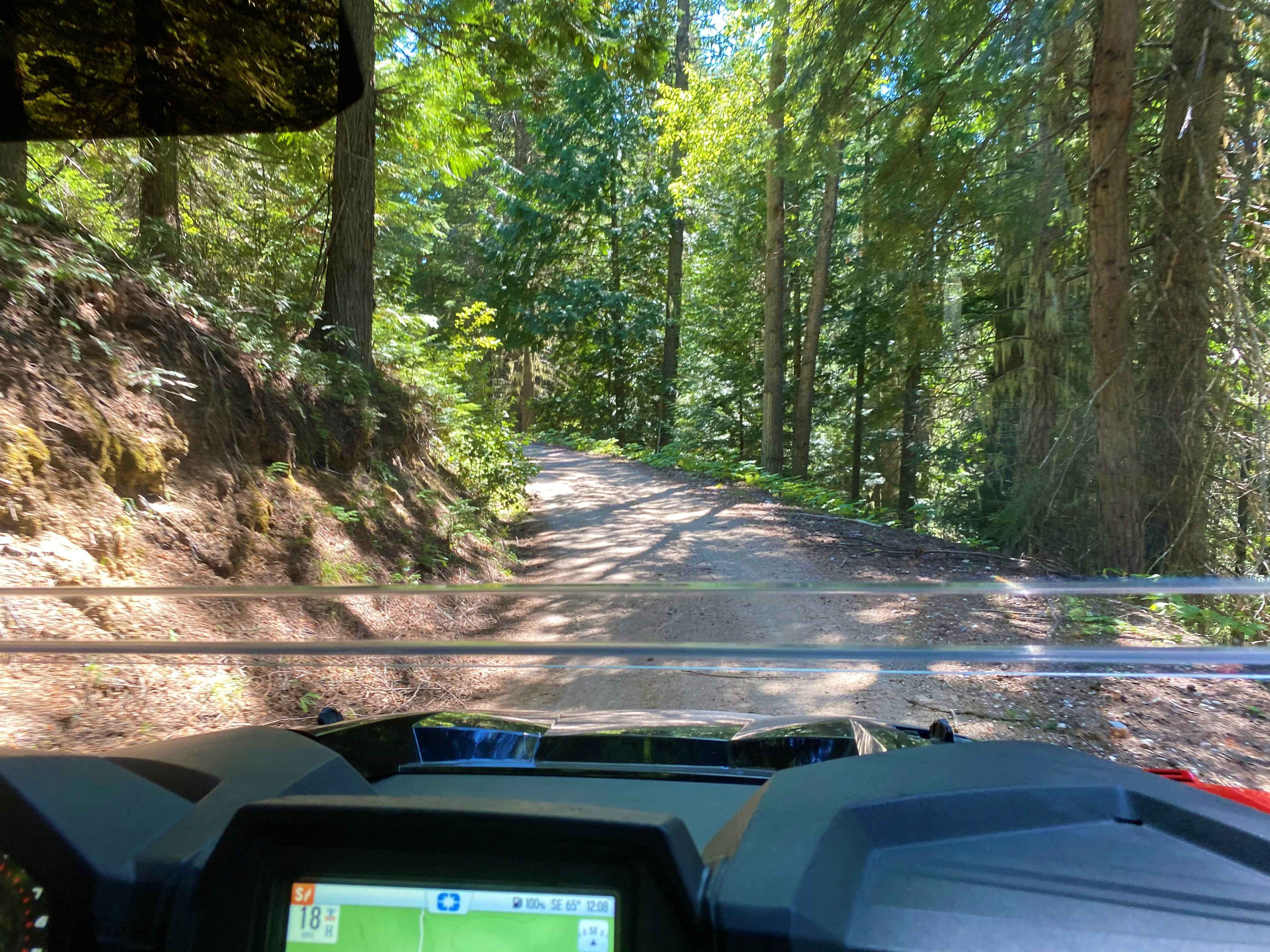
Calispell - Batey Bould Loop
Total Miles
57.2
Tech Rating
Moderate
Best Time
Summer
Learn more about Canyon Cr - Forest Road 3700000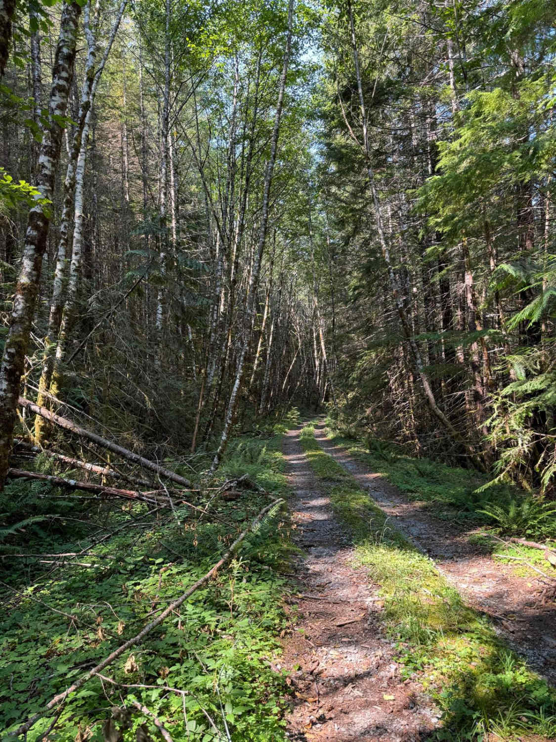
Canyon Cr - Forest Road 3700000
Total Miles
13.9
Tech Rating
Easy
Best Time
Spring, Summer, Fall
Learn more about Canyon Creek Road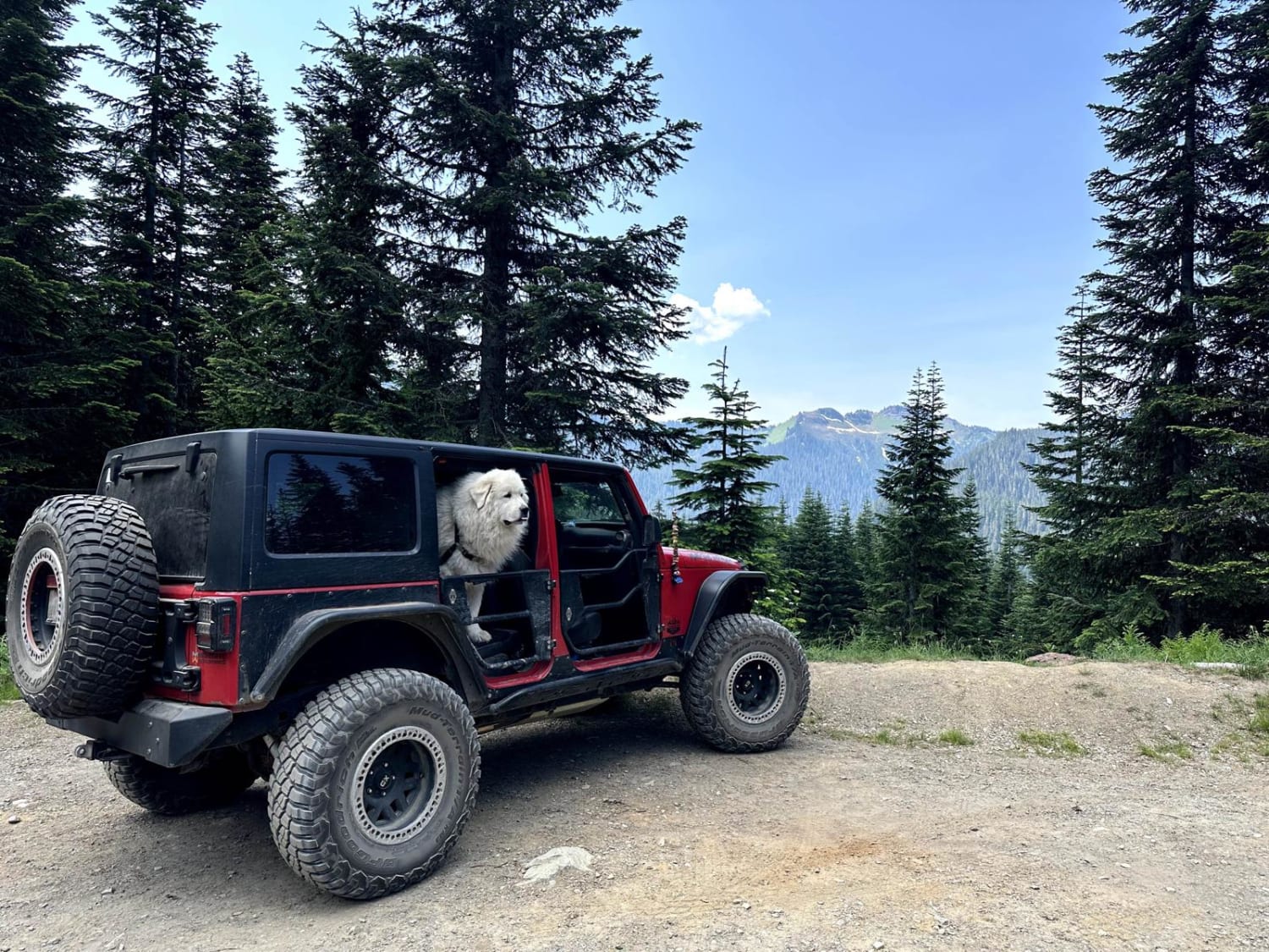
Canyon Creek Road
Total Miles
7.5
Tech Rating
Easy
Best Time
Spring, Summer, Fall
Learn more about Canyon Ridge Road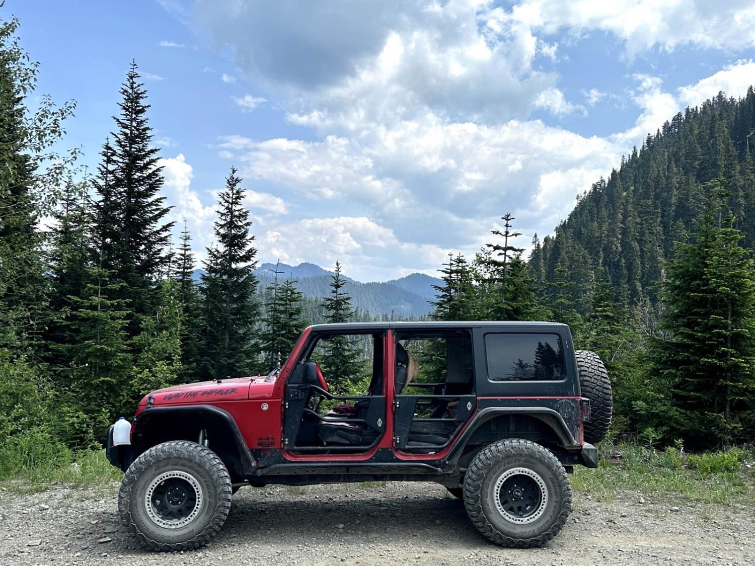
Canyon Ridge Road
Total Miles
6.9
Tech Rating
Easy
Best Time
Spring, Summer, Fall
Learn more about Capitol Forest D-1000
Capitol Forest D-1000
Total Miles
8.3
Tech Rating
Easy
Best Time
Spring, Summer, Fall, Winter
Learn more about Capitol Forest D-4000
Capitol Forest D-4000
Total Miles
5.4
Tech Rating
Easy
Best Time
Spring, Summer, Fall, Winter
Learn more about Capitol Forest E-Line 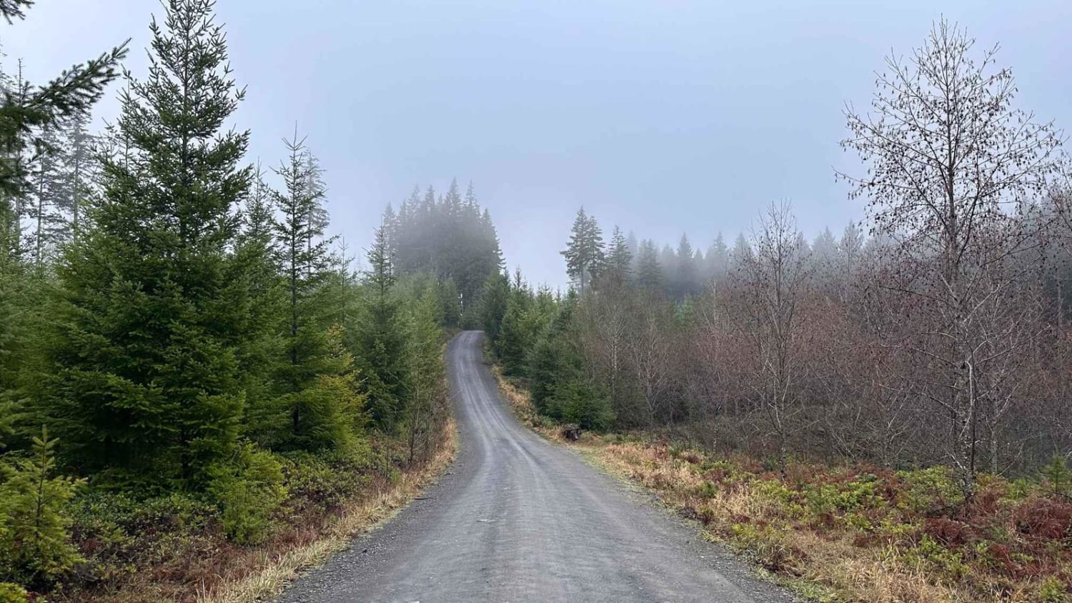
Capitol Forest E-Line
Total Miles
11.5
Tech Rating
Easy
Best Time
Summer, Fall, Winter, Spring
Learn more about Capitol Forest South Trail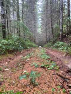
Capitol Forest South Trail
Total Miles
4.8
Tech Rating
Easy
Best Time
Summer, Fall, Winter, Spring
Learn more about Capitol Forest Tour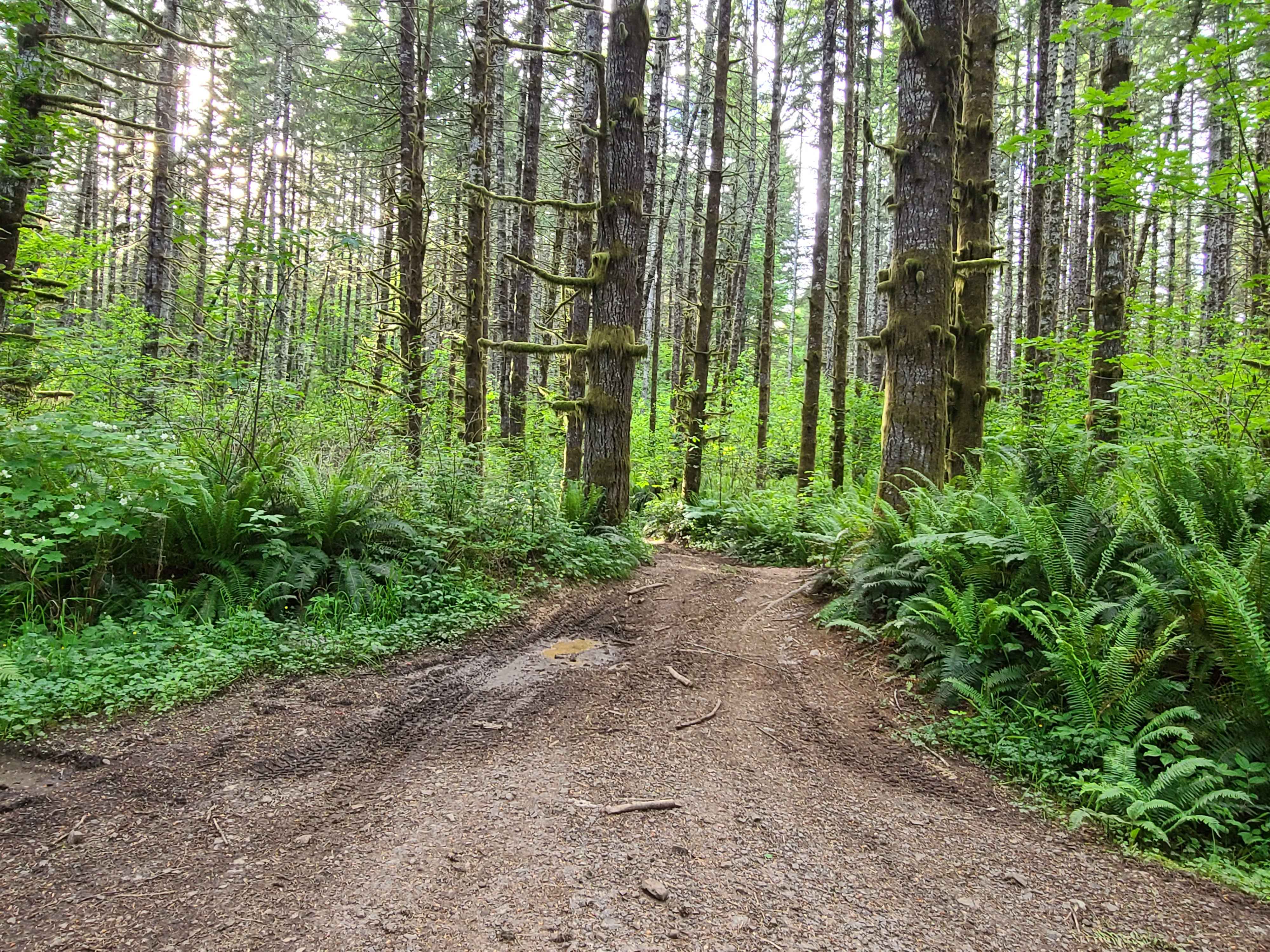
Capitol Forest Tour
Total Miles
28.3
Tech Rating
Easy
Best Time
Spring, Summer, Fall, Winter
Learn more about Capitol State Forest Smooth Cruise 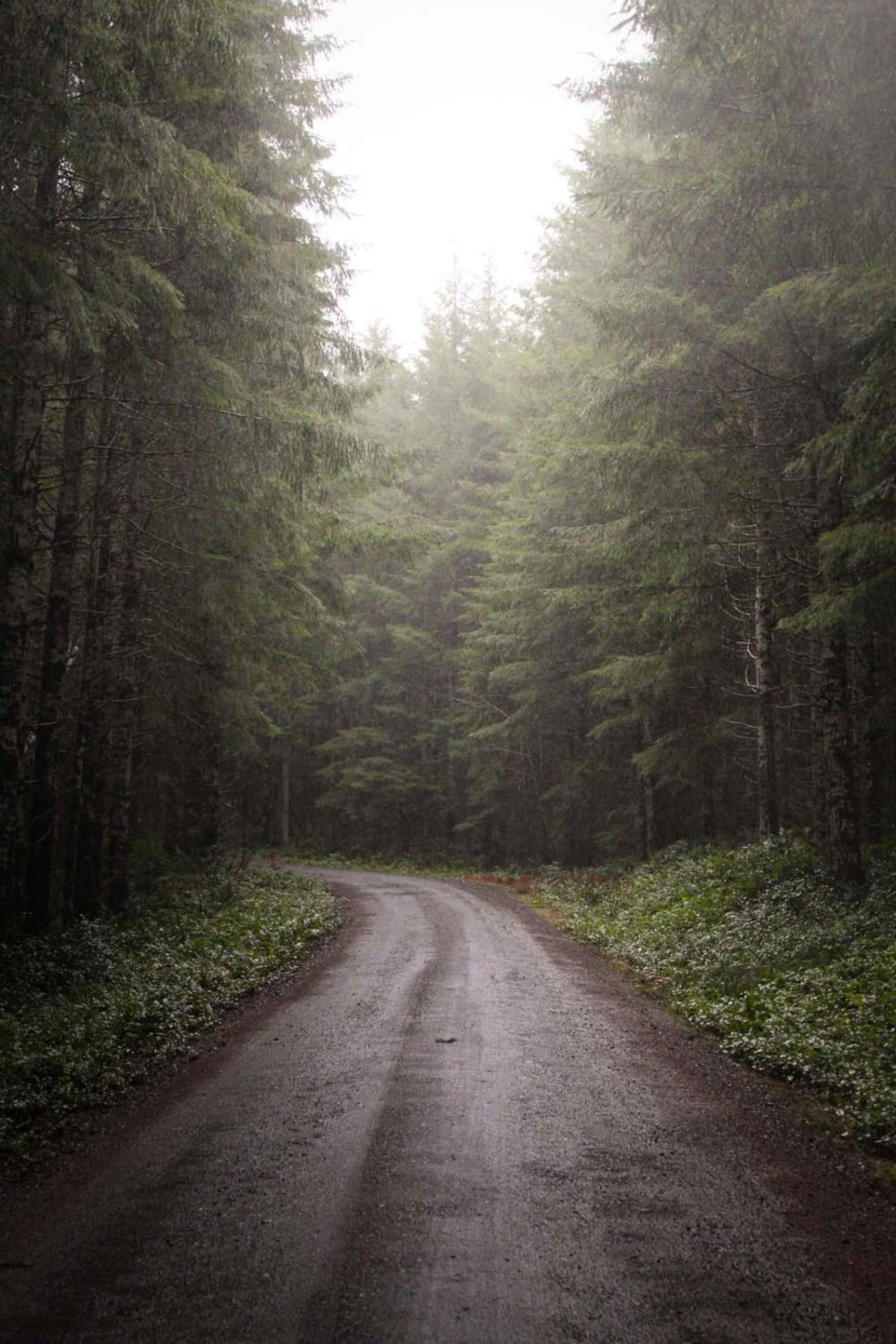
Capitol State Forest Smooth Cruise
Total Miles
4.0
Tech Rating
Easy
Best Time
Summer, Spring, Fall
ATV trails in Washington


Learn more about 4104504 - Deep Woods Adventure
4104504 - Deep Woods Adventure
Total Miles
5.8
Tech Rating
Moderate
Best Time
Spring, Summer, Fall
UTV/side-by-side trails in Washington
Learn more about 4104504 - Deep Woods Adventure
4104504 - Deep Woods Adventure
Total Miles
5.8
Tech Rating
Moderate
Best Time
Spring, Summer, Fall
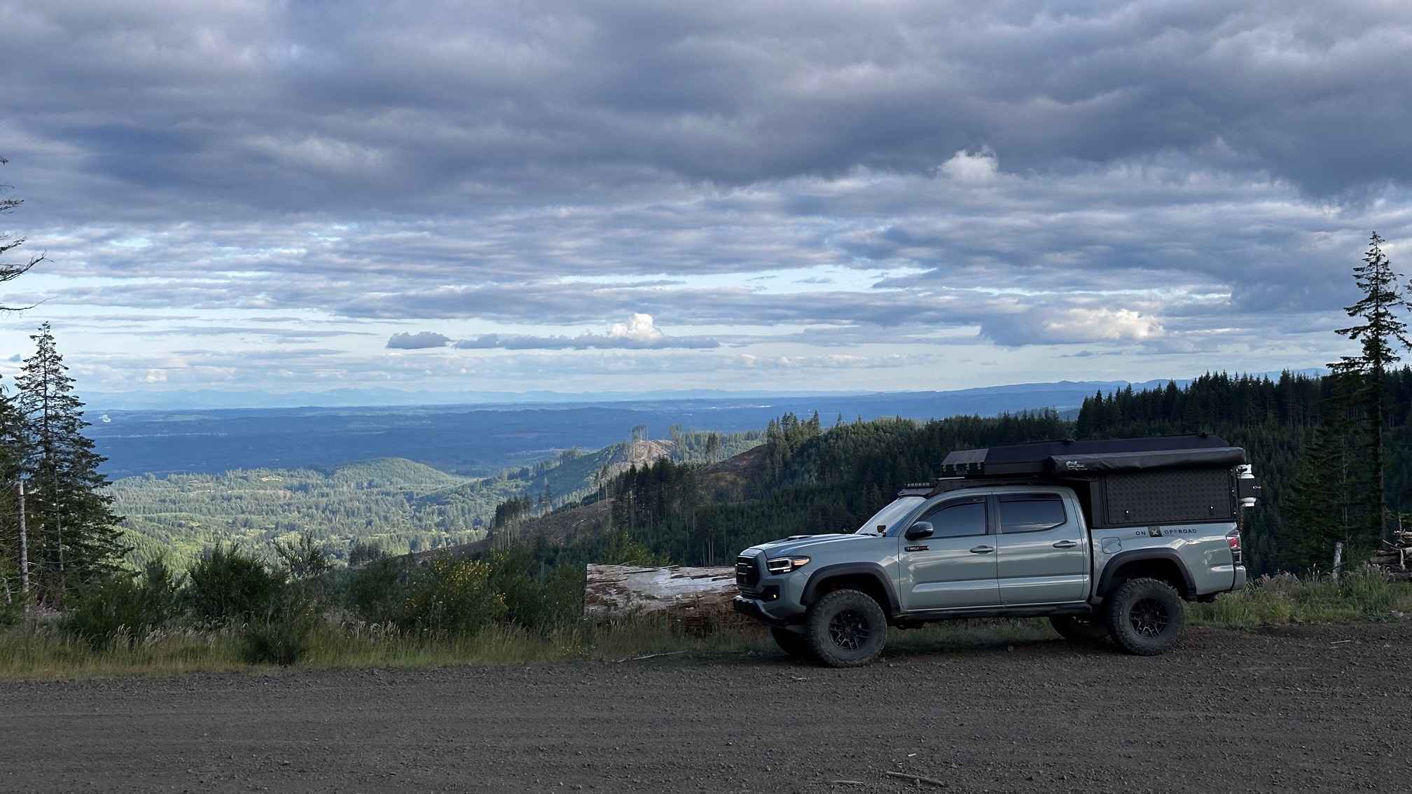
The onX Offroad Difference
onX Offroad combines trail photos, descriptions, difficulty ratings, width restrictions, seasonality, and more in a user-friendly interface. Available on all devices, with offline access and full compatibility with CarPlay and Android Auto. Discover what you’re missing today!