Off-Road Trails in Washington
Discover off-road trails in Washington
Learn more about Balky Hill Road - 1637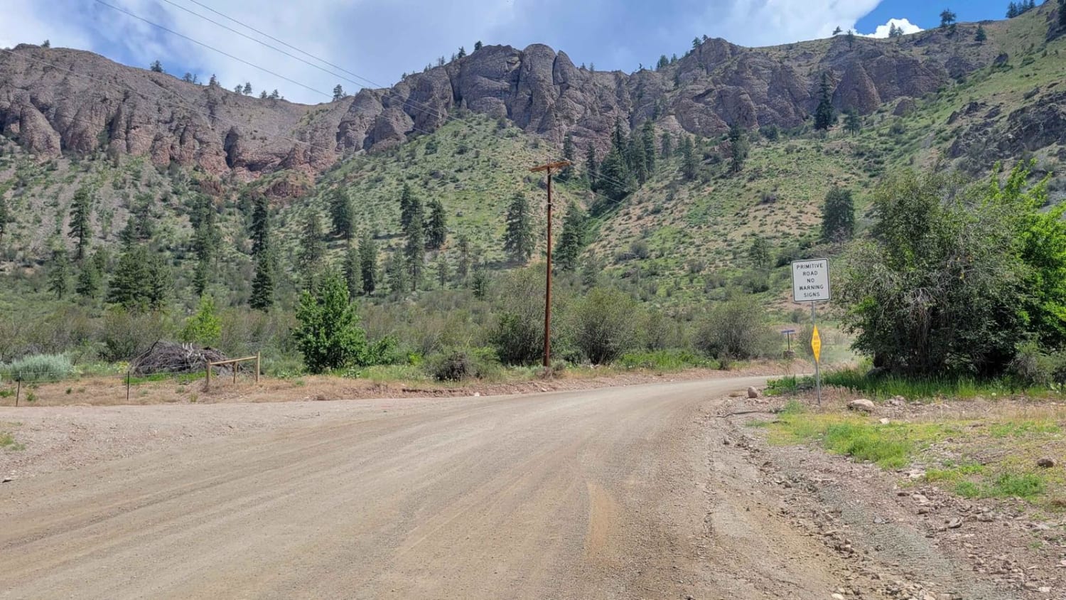
Balky Hill Road - 1637
Total Miles
7.4
Tech Rating
Easy
Best Time
Summer, Fall
Learn more about Barber Springs Road
Barber Springs Road
Total Miles
4.2
Tech Rating
Easy
Best Time
Spring, Summer, Fall
Learn more about Bare Mountain Road
Bare Mountain Road
Total Miles
6.9
Tech Rating
Moderate
Best Time
Spring, Fall, Summer
Learn more about Barker Canyon Road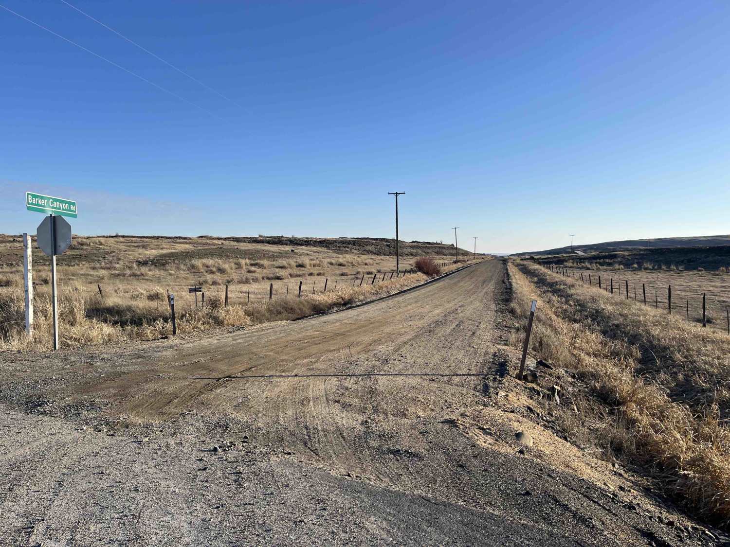
Barker Canyon Road
Total Miles
6.0
Tech Rating
Easy
Best Time
Spring, Summer, Fall, Winter


Learn more about Bear Creek Mountain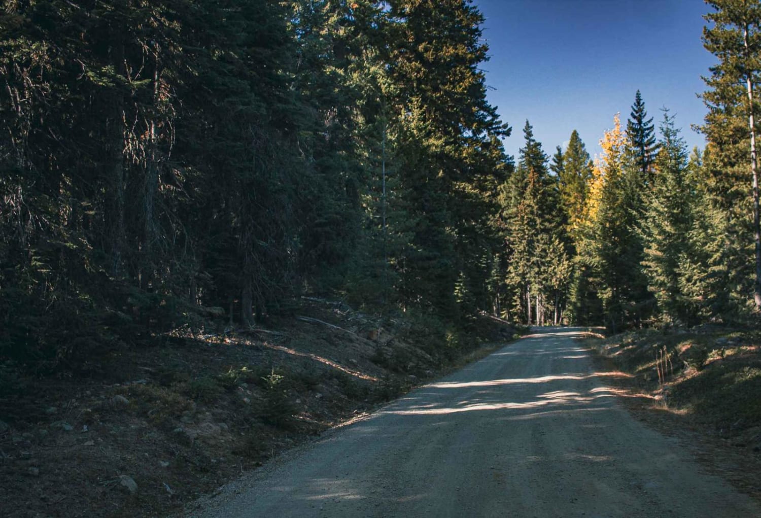
Bear Creek Mountain
Total Miles
4.0
Tech Rating
Easy
Best Time
Spring, Summer, Fall, Winter

Learn more about Beckler Peak
Beckler Peak
Total Miles
6.8
Tech Rating
Easy
Best Time
Spring, Summer, Fall, Winter
Learn more about Beckler River
Beckler River
Total Miles
7.6
Tech Rating
Easy
Best Time
Spring, Summer, Fall

Learn more about Bell Telephone Road
Bell Telephone Road
Total Miles
5.3
Tech Rating
Moderate
Best Time
Spring, Summer, Fall, Winter
Learn more about Ben's Revenge 
Ben's Revenge
Total Miles
0.8
Tech Rating
Moderate
Best Time
Summer, Spring, Fall, Winter
Learn more about Berry Creek
Berry Creek
Total Miles
14.2
Tech Rating
Easy
Best Time
Spring, Summer, Fall, Winter
Learn more about Bethel Ridge Central - NF 325a 4WD
Bethel Ridge Central - NF 325a 4WD
Total Miles
4.9
Tech Rating
Moderate
Best Time
Summer, Fall
Learn more about Bethel Ridge Road - NF1500
Bethel Ridge Road - NF1500
Total Miles
25.2
Tech Rating
Easy
Best Time
Spring, Summer, Fall
ATV trails in Washington


Learn more about 4104504 - Deep Woods Adventure
4104504 - Deep Woods Adventure
Total Miles
5.8
Tech Rating
Moderate
Best Time
Spring, Summer, Fall
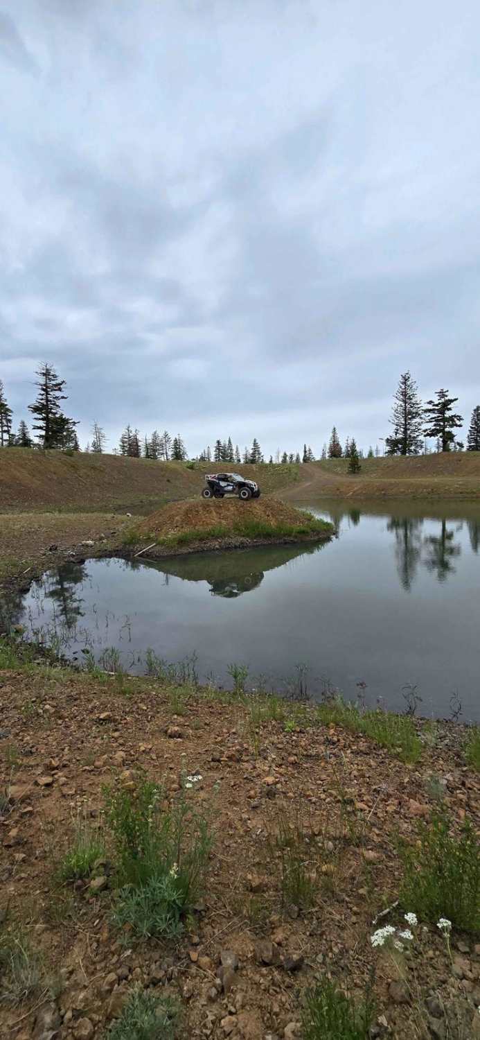
UTV/side-by-side trails in Washington
Learn more about 4104504 - Deep Woods Adventure
4104504 - Deep Woods Adventure
Total Miles
5.8
Tech Rating
Moderate
Best Time
Spring, Summer, Fall
The onX Offroad Difference
onX Offroad combines trail photos, descriptions, difficulty ratings, width restrictions, seasonality, and more in a user-friendly interface. Available on all devices, with offline access and full compatibility with CarPlay and Android Auto. Discover what you’re missing today!