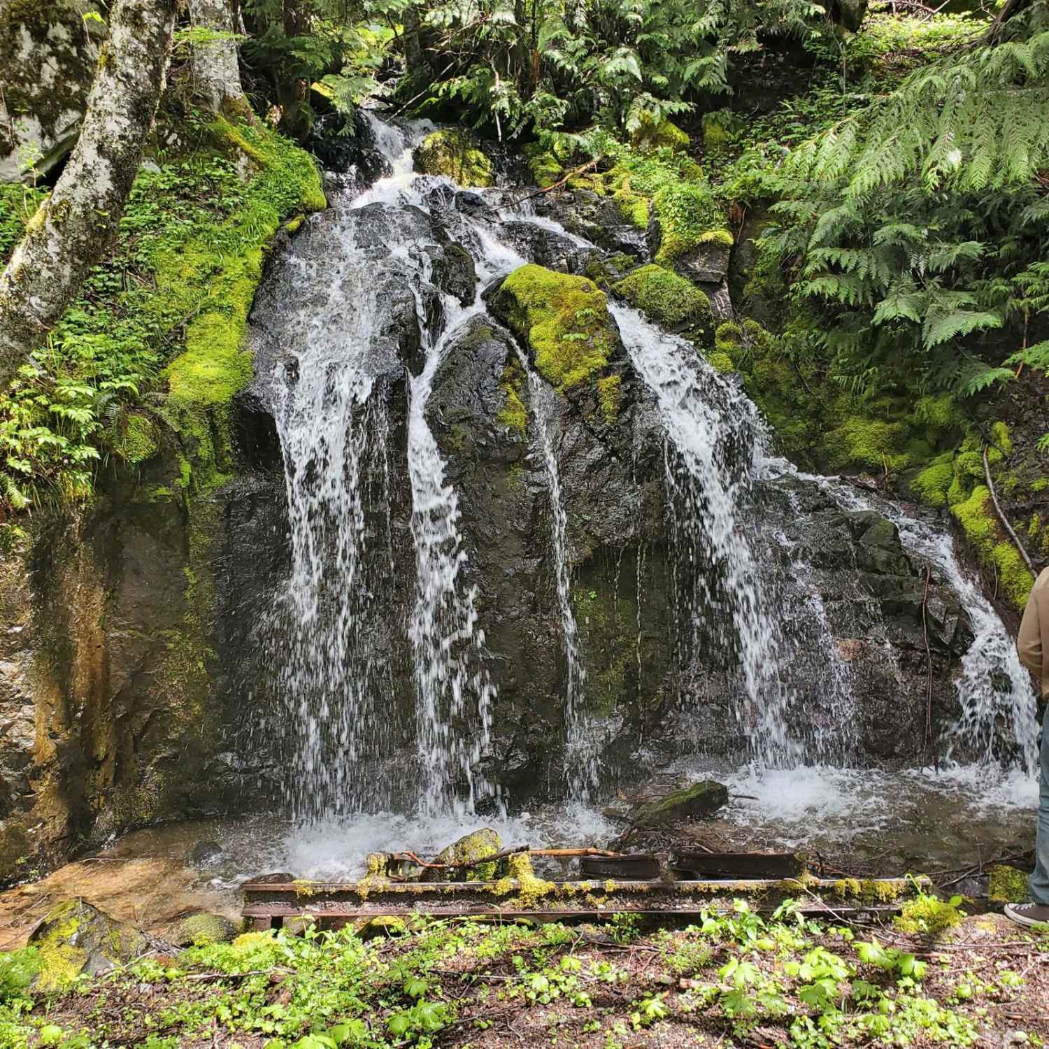
Off-Road Trails in Washington
Discover off-road trails in Washington
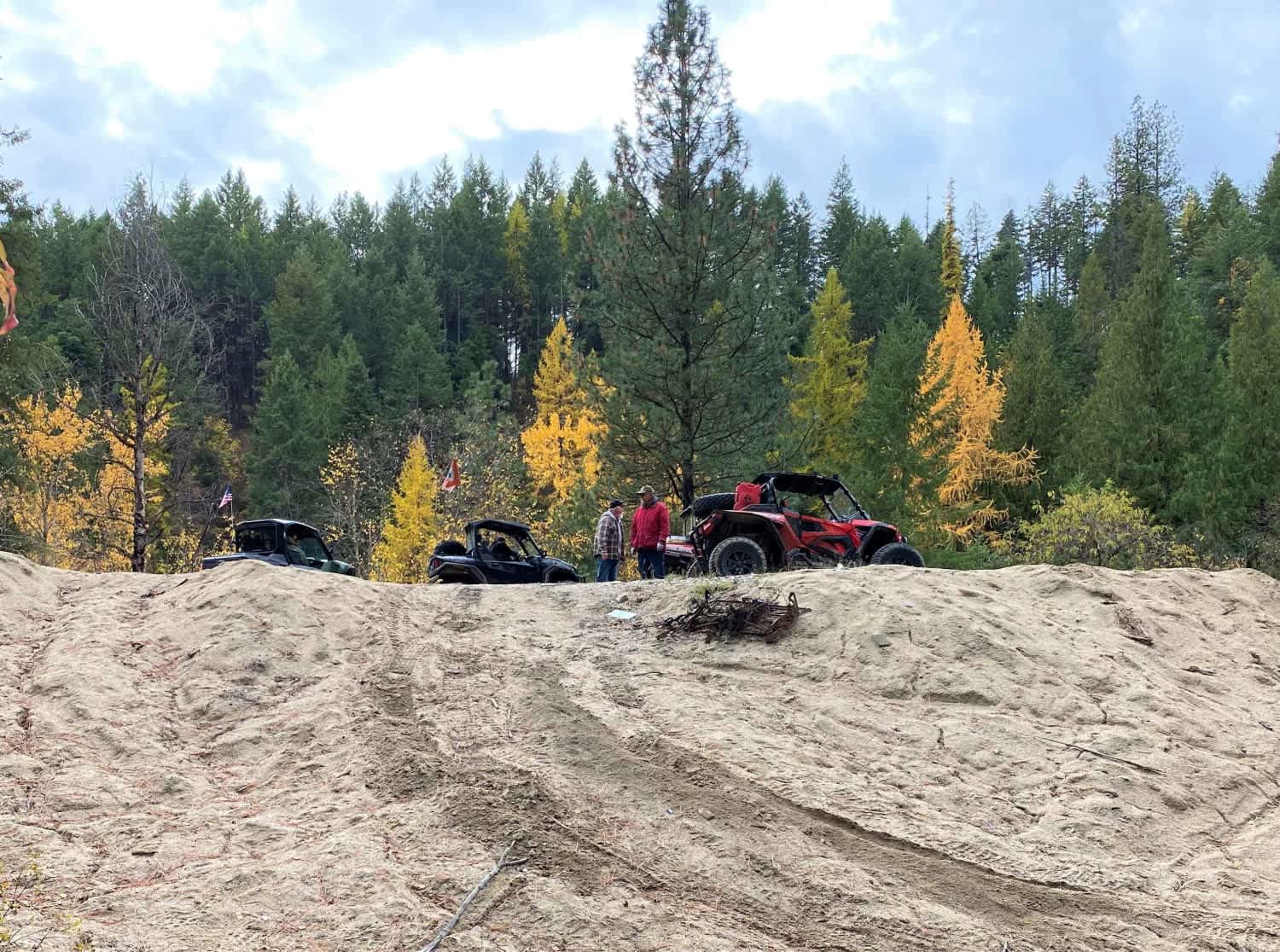
Learn more about Dan's Creek Divide - FS 2420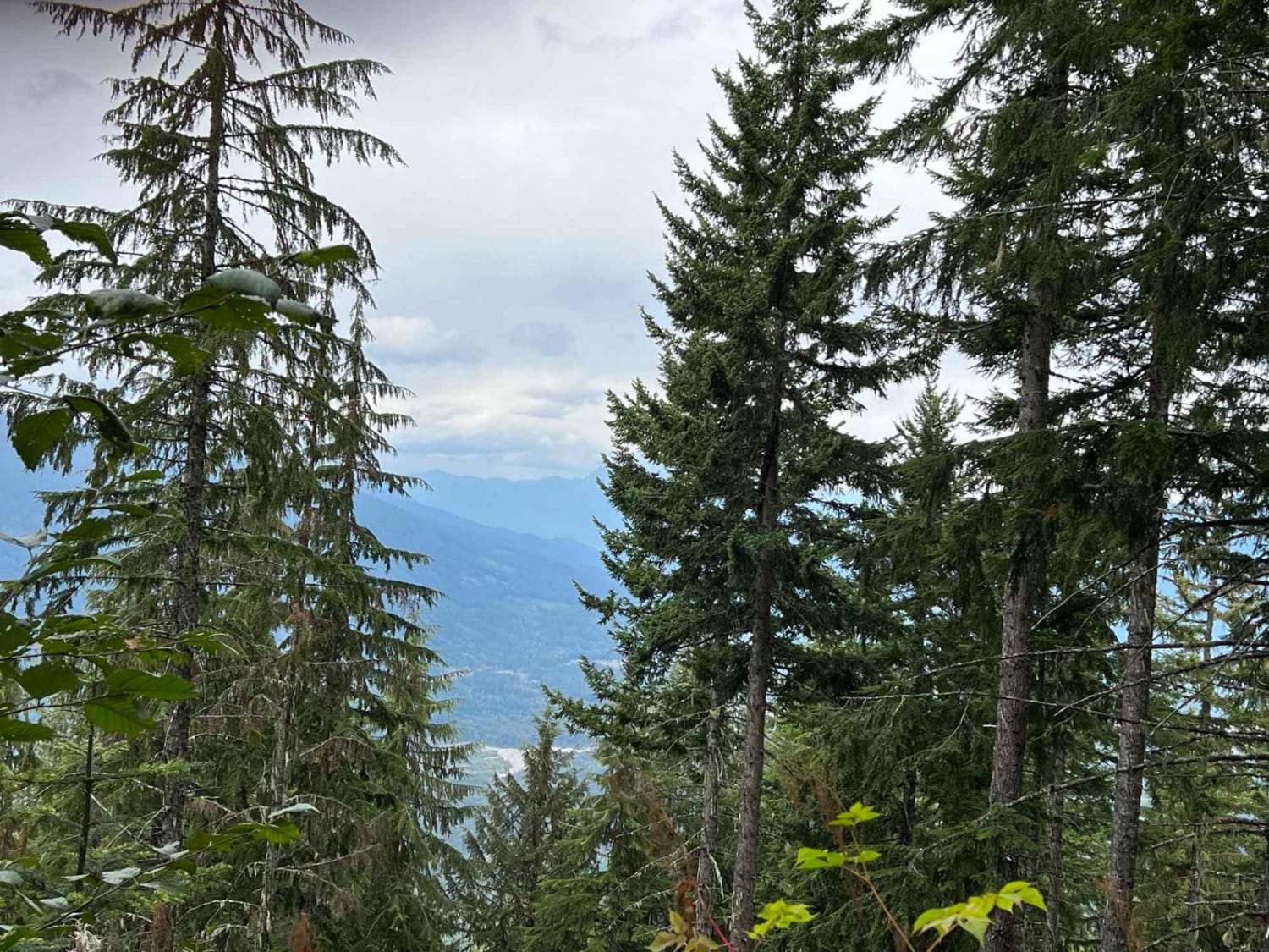
Dan's Creek Divide - FS 2420
Total Miles
9.8
Tech Rating
Easy
Best Time
Summer, Fall
Learn more about Davis Hollow Road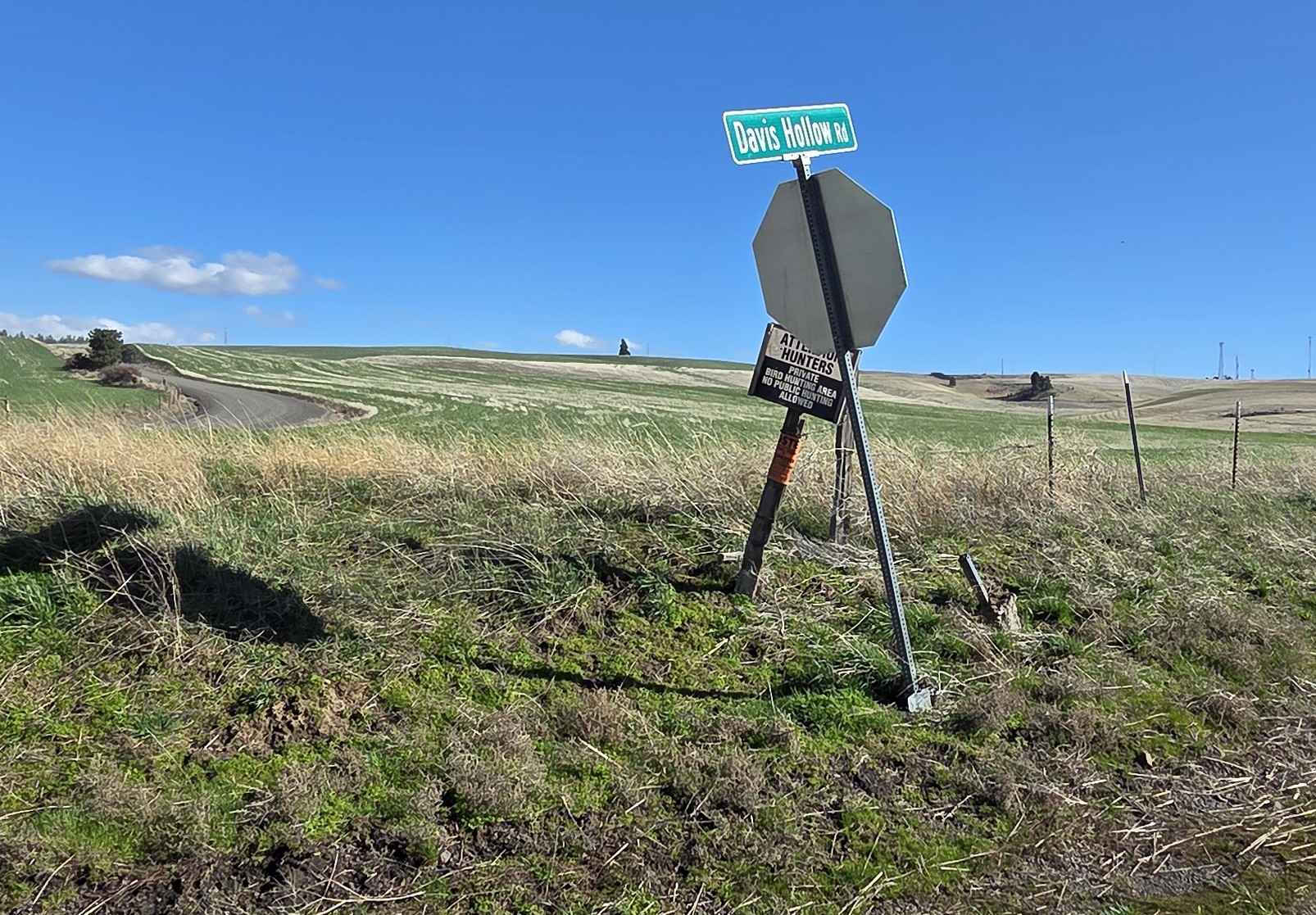
Davis Hollow Road
Total Miles
4.1
Tech Rating
Easy
Best Time
Spring, Summer, Fall
Learn more about Dawson Canyon Road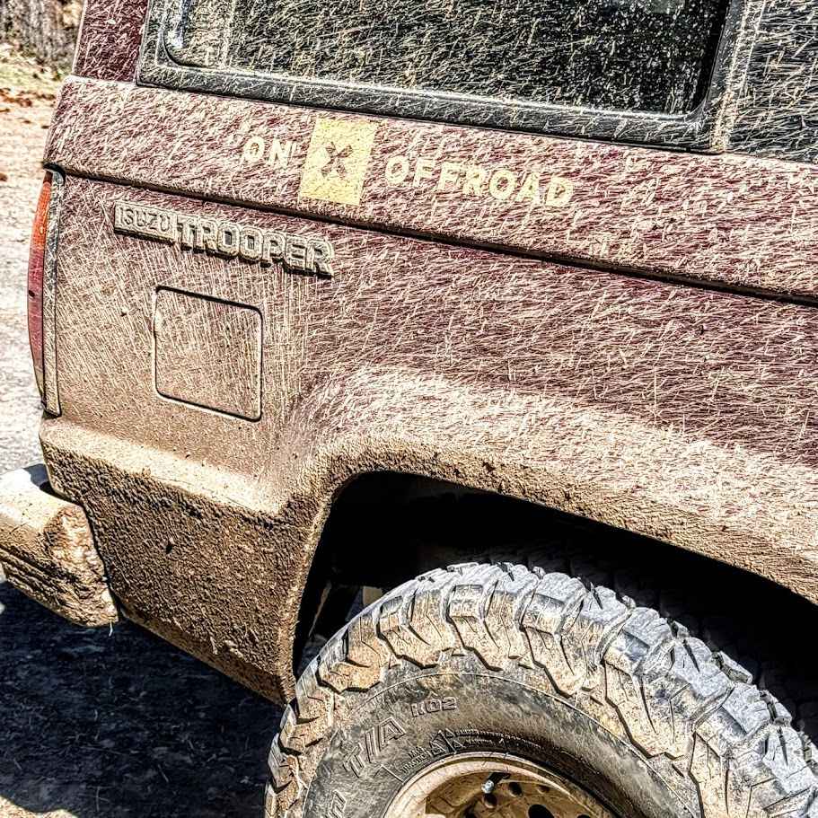
Dawson Canyon Road
Total Miles
2.6
Tech Rating
Easy
Best Time
Spring, Summer, Fall, Winter
Learn more about Dawson Road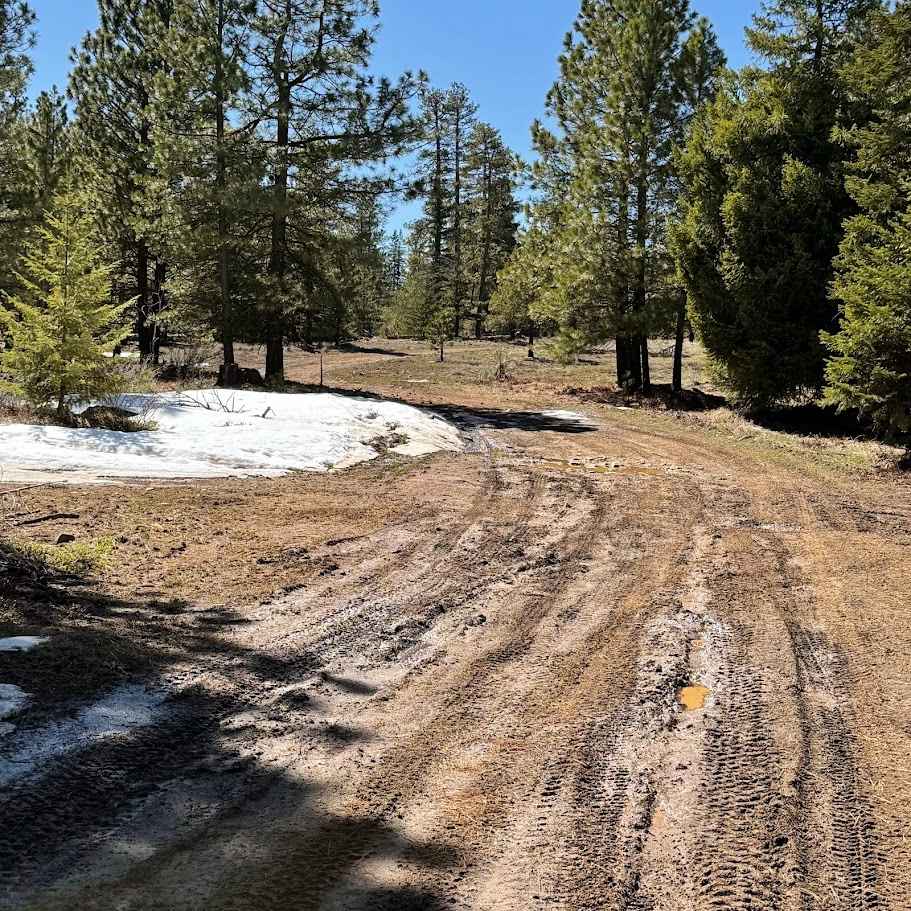
Dawson Road
Total Miles
4.3
Tech Rating
Easy
Best Time
Spring, Summer, Fall, Winter
Learn more about Deep Creek - FS 1500-180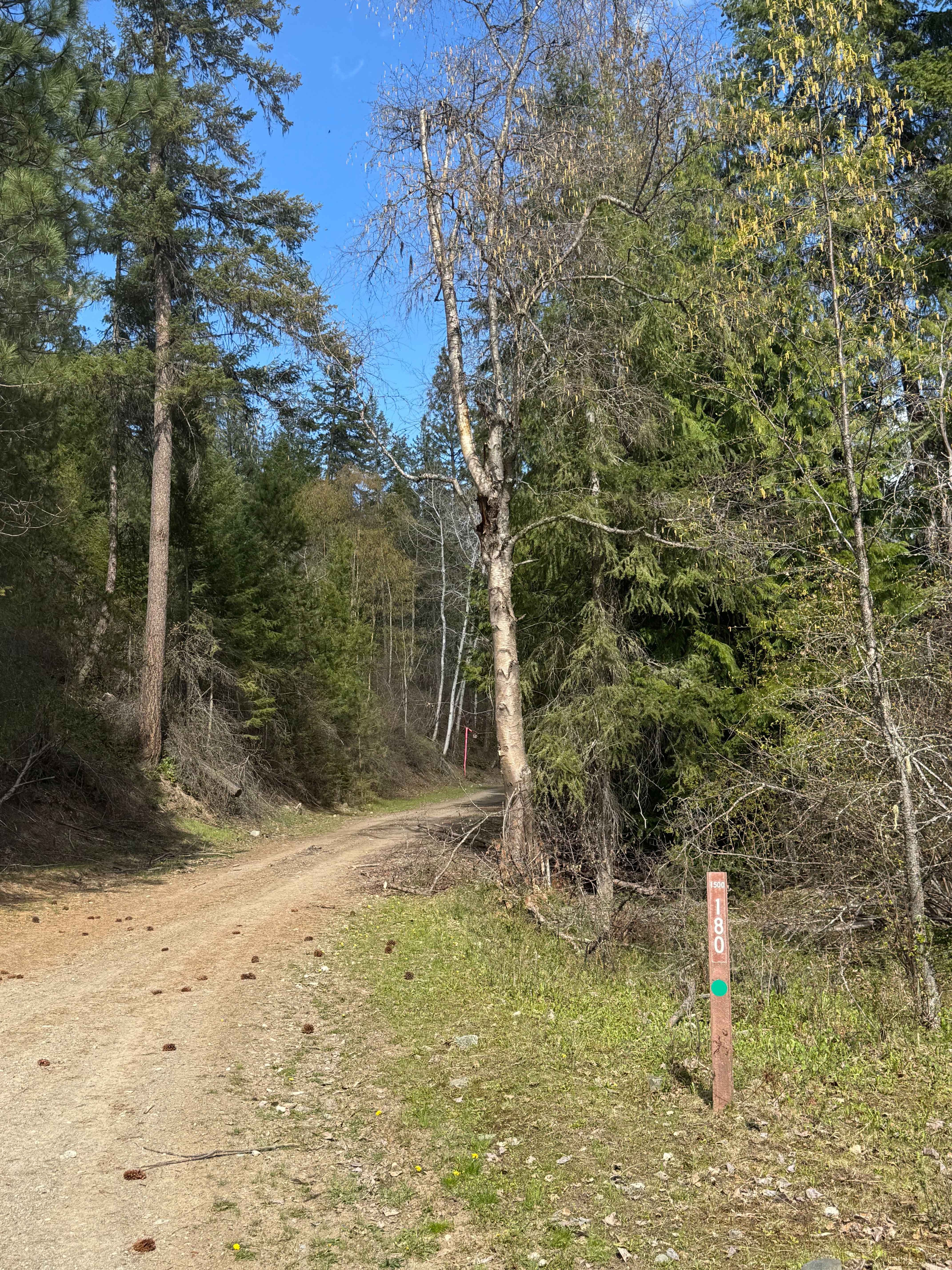
Deep Creek - FS 1500-180
Total Miles
5.6
Tech Rating
Easy
Best Time
Spring, Summer, Fall
Learn more about Deep Creek / Snider Ridge 3067
Deep Creek / Snider Ridge 3067
Total Miles
3.6
Tech Rating
Easy
Best Time
Spring, Summer, Fall
Learn more about Deep Forest Connection Road 
Deep Forest Connection Road
Total Miles
2.7
Tech Rating
Easy
Best Time
Summer, Fall
Learn more about Deep Forest Trail
Deep Forest Trail
Total Miles
0.8
Tech Rating
Easy
Best Time
Spring, Summer, Fall
Learn more about Deep Woods Brap Adventure
Deep Woods Brap Adventure
Total Miles
0.5
Tech Rating
Moderate
Best Time
Spring, Summer, Fall
Learn more about Deer and Pine Gulch
Deer and Pine Gulch
Total Miles
1.1
Tech Rating
Easy
Best Time
Spring, Summer, Fall
Learn more about Deer Camp to Little Chumstick 
Deer Camp to Little Chumstick
Total Miles
8.3
Tech Rating
Easy
Best Time
Spring, Summer, Fall, Winter
Learn more about Deer Camp Trail
Deer Camp Trail
Total Miles
4.6
Tech Rating
Easy
Best Time
Summer, Fall, Spring

Learn more about Derby Canyon Road
Derby Canyon Road
Total Miles
8.7
Tech Rating
Easy
Best Time
Summer, Fall
Learn more about Dickman Mountain Lookout
Dickman Mountain Lookout
Total Miles
2.8
Tech Rating
Easy
Best Time
Spring, Summer, Fall, Winter

Learn more about Divide Trail 4W311
Divide Trail 4W311
Total Miles
4.6
Tech Rating
Moderate
Best Time
Spring, Summer, Fall
ATV trails in Washington


Learn more about 4104504 - Deep Woods Adventure
4104504 - Deep Woods Adventure
Total Miles
5.8
Tech Rating
Moderate
Best Time
Spring, Summer, Fall
UTV/side-by-side trails in Washington
Learn more about 4104504 - Deep Woods Adventure
4104504 - Deep Woods Adventure
Total Miles
5.8
Tech Rating
Moderate
Best Time
Spring, Summer, Fall
The onX Offroad Difference
onX Offroad combines trail photos, descriptions, difficulty ratings, width restrictions, seasonality, and more in a user-friendly interface. Available on all devices, with offline access and full compatibility with CarPlay and Android Auto. Discover what you’re missing today!