Dungeness Fork Run
Total Miles
10.5
Technical Rating
Best Time
Spring
Trail Type
Full-Width Road
Accessible By
Trail Overview
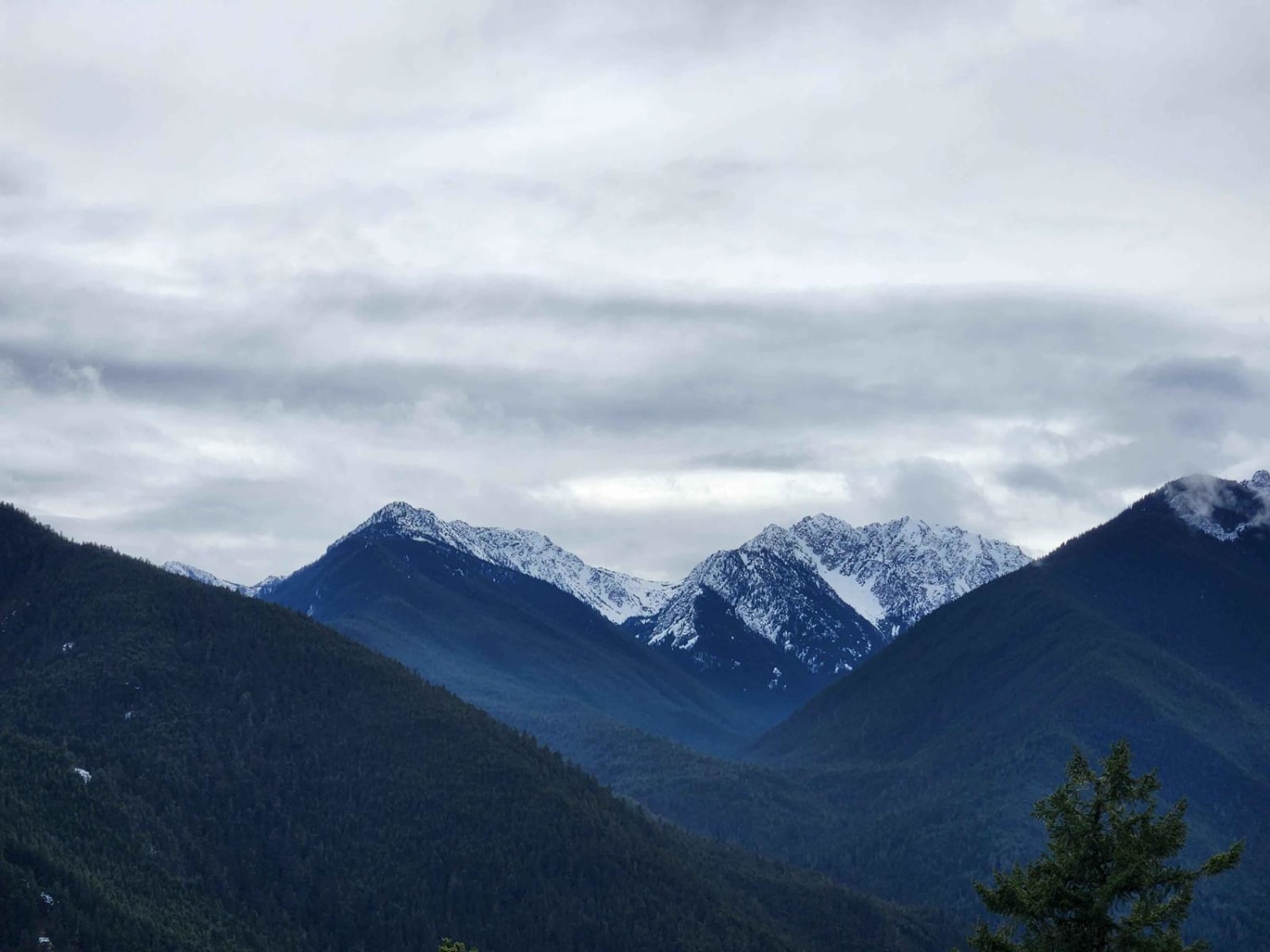
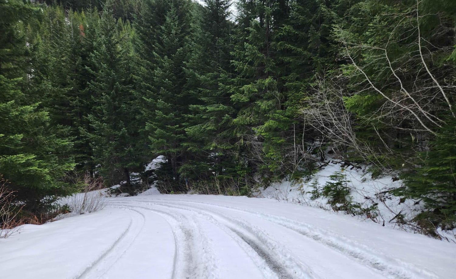
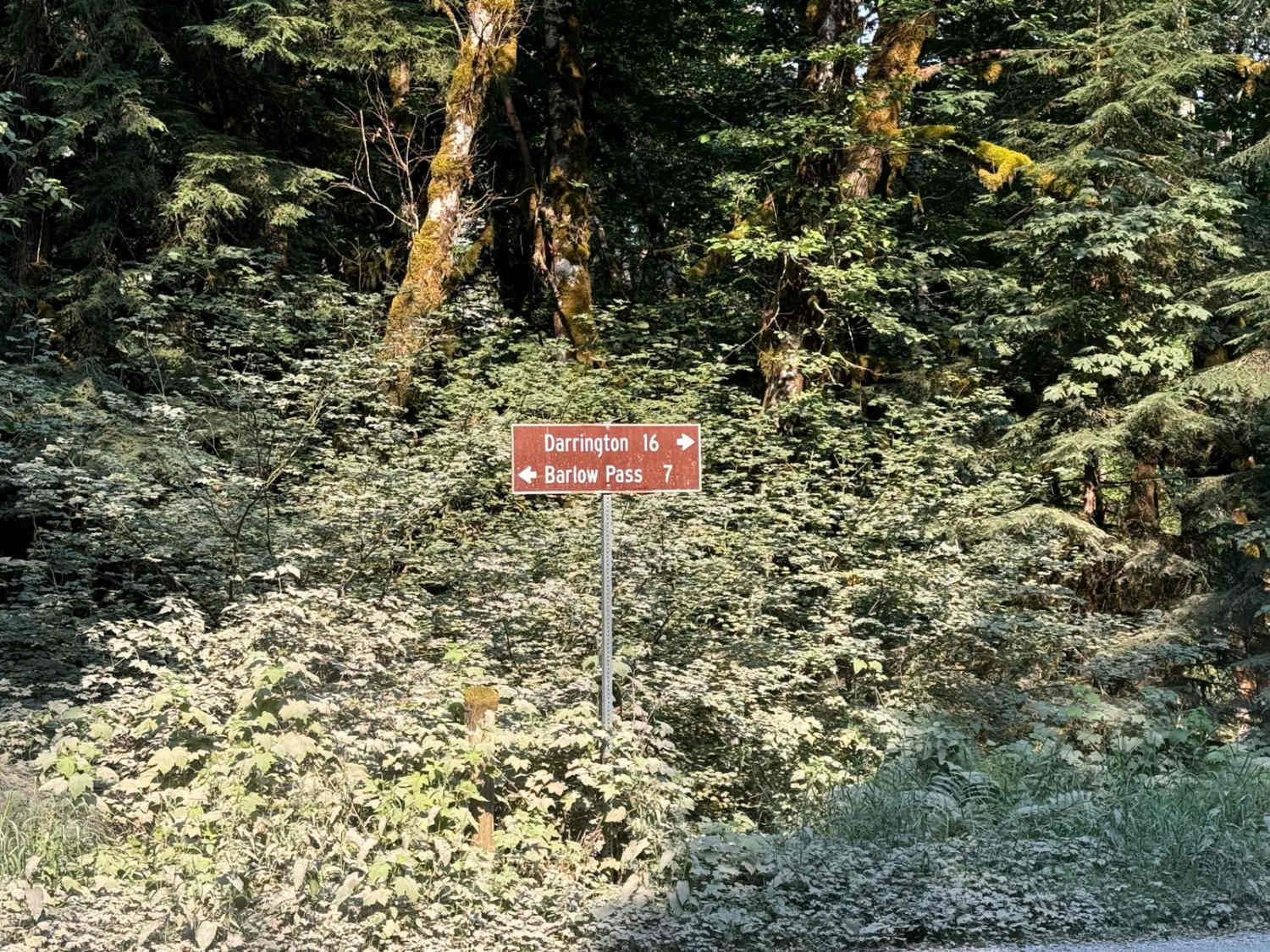
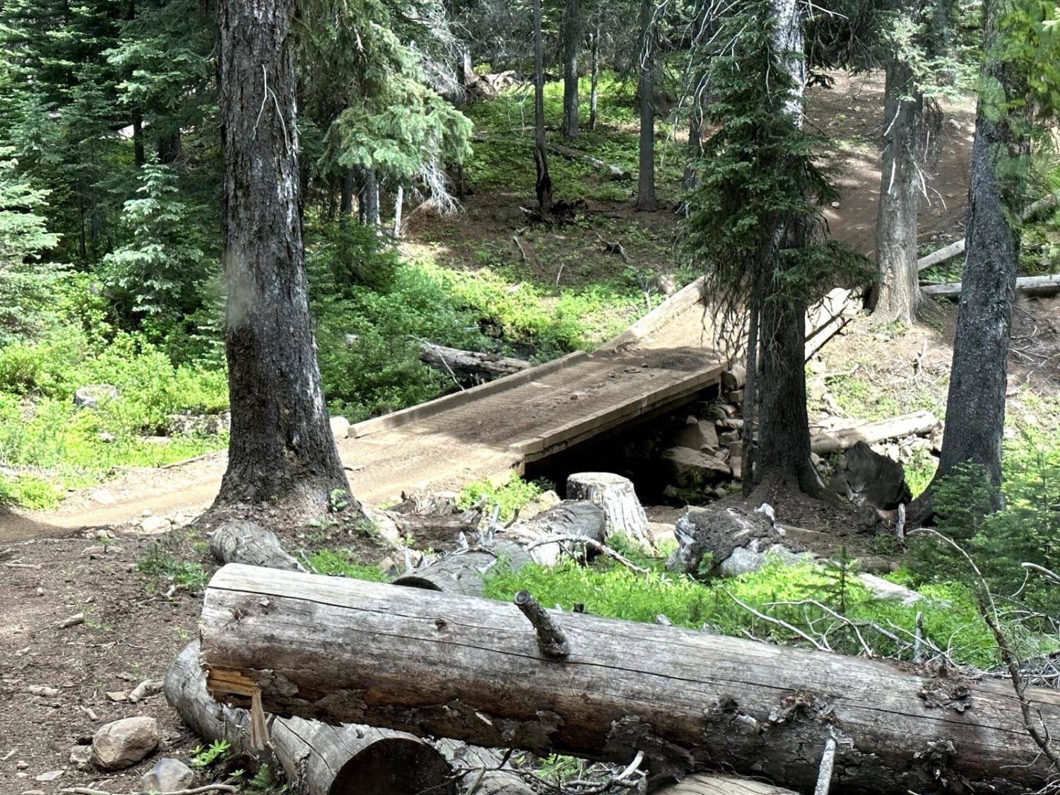
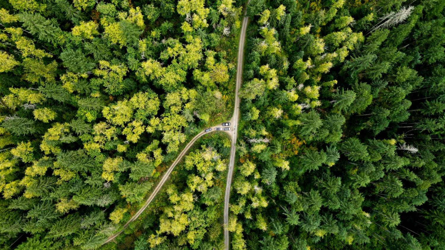
This is a short but scenic out-and-back trail into the edge of the Olympic Range, ending just outside the Buckhorn Wilderness area. Drop from the main road on a steep, slick, rutted path, winding sharply down the canyon wall to a bridge across the Gray Wolf River. The lower portion of the trail follows the rushing river, passing several campsites before climbing up Three O'Clock Ridge to picturesque views of Mount Deception rising in the distance. Winter will see you into deep snowpack beyond this point; air down and continue to meet up with the Upper Dungeness Fork at another patch of pristine rapids. The road continues further to the Tubal Cain trailhead, but dead-ends into the Buckhorn Wilderness shortly after.
Photos of Dungeness Fork Run
Difficulty
The initial descent is deeply rutted with some off-camber sections. The latter sections are evenly graded but badly potholed. Winter snow increases the difficulty.
Status Reports
Dungeness Fork Run can be accessed by the following ride types:
- High-Clearance 4x4
- SUV
- SxS (60")
- ATV (50")
- Dirt Bike
Dungeness Fork Run Map
Popular Trails

4W304 Hawkins Mountain Mines
Shoestring Trail
FS 2200 to White Chuck
The onX Offroad Difference
onX Offroad combines trail photos, descriptions, difficulty ratings, width restrictions, seasonality, and more in a user-friendly interface. Available on all devices, with offline access and full compatibility with CarPlay and Android Auto. Discover what you’re missing today!