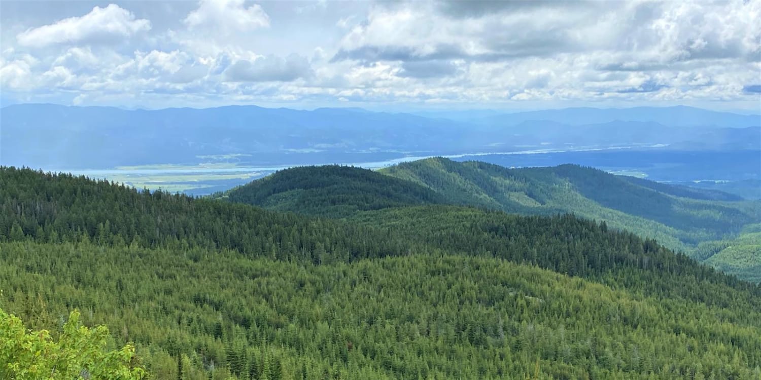
Off-Road Trails in Washington
Discover off-road trails in Washington
Learn more about FR 4430 - War Creek/West Twisp River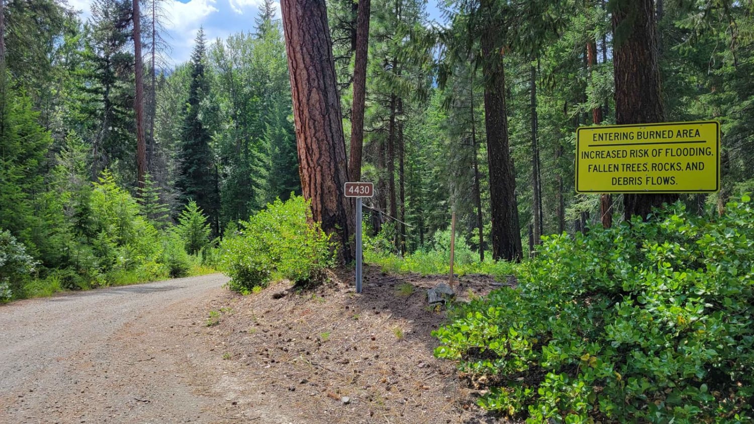
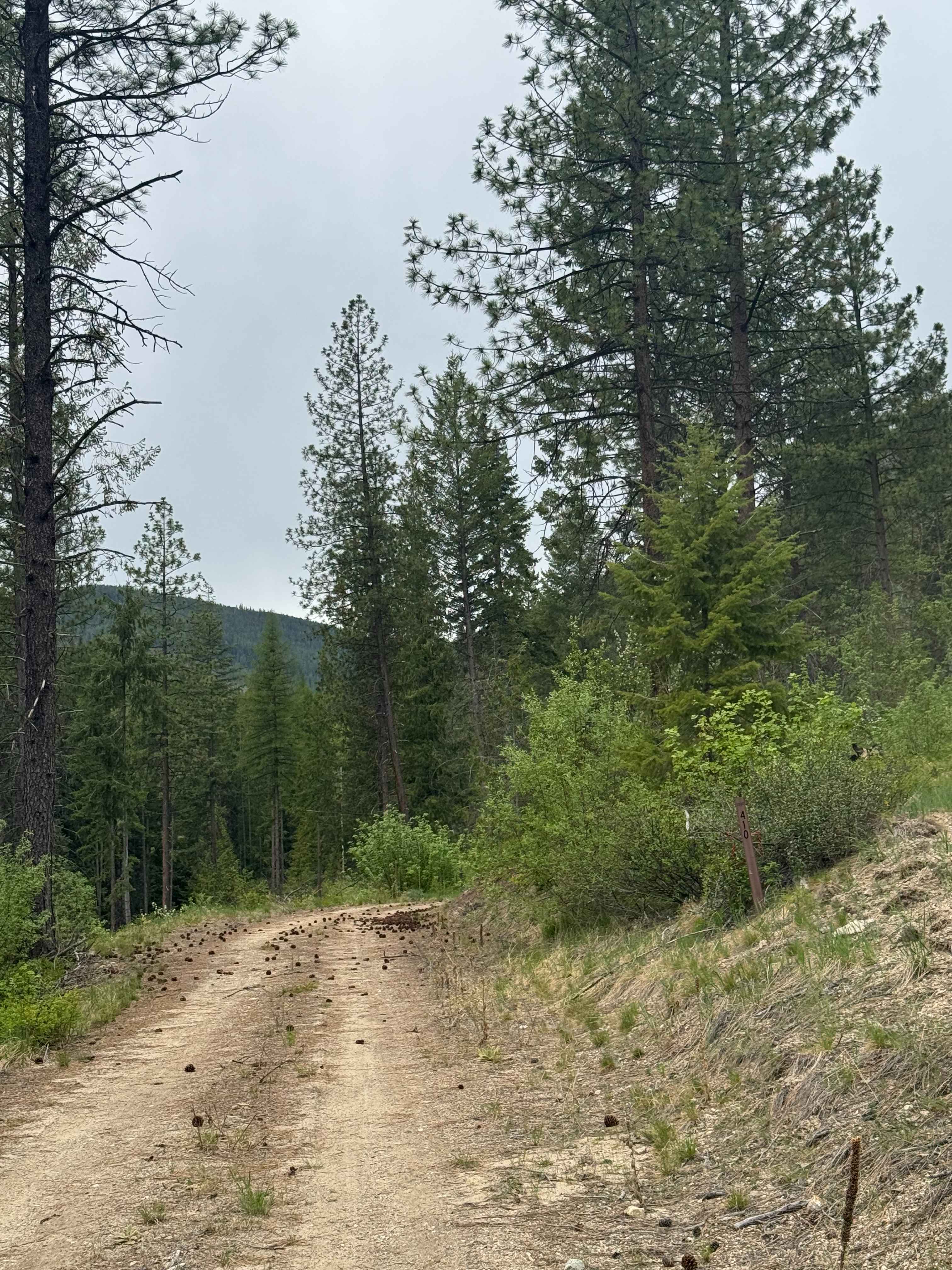
FR 4430 - War Creek/West Twisp River
Total Miles
4.3
Tech Rating
Easy
Best Time
Summer, Fall
Learn more about FR 4435 - Reynolds Road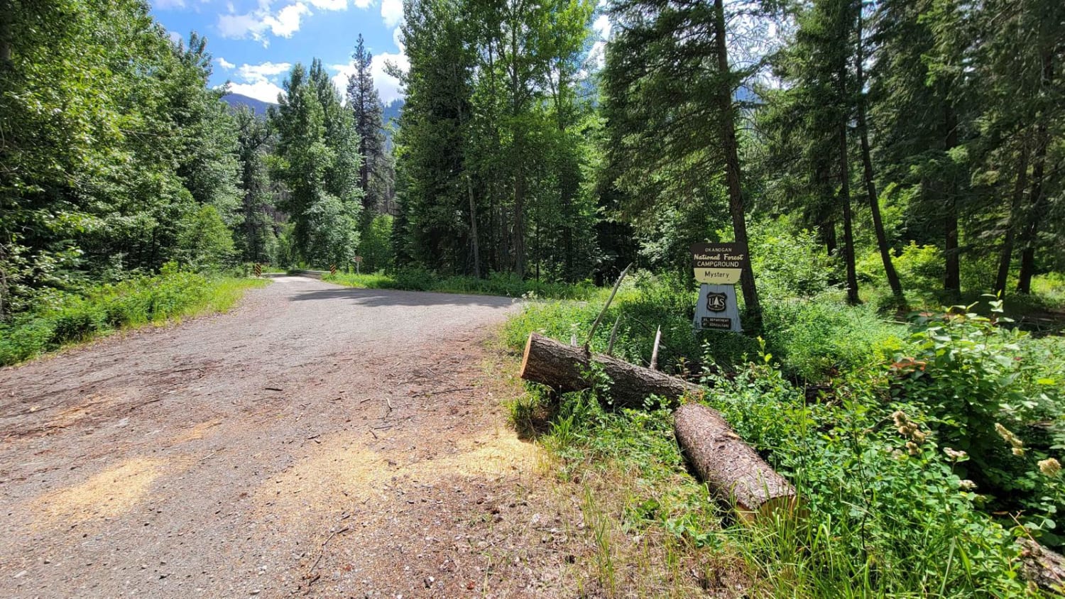
FR 4435 - Reynolds Road
Total Miles
4.1
Tech Rating
Easy
Best Time
Fall, Summer
Learn more about FR 4440 - Twisp River Road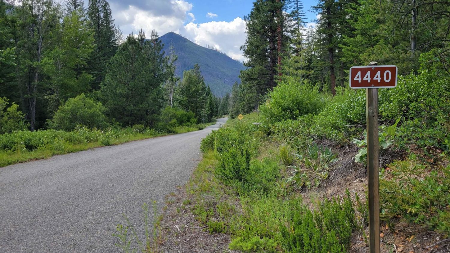
FR 4440 - Twisp River Road
Total Miles
6.5
Tech Rating
Easy
Best Time
Fall, Summer
Learn more about FR 65 - Panther Creek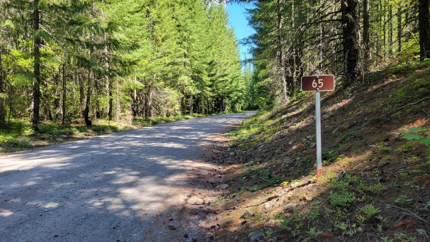
FR 65 - Panther Creek
Total Miles
6.8
Tech Rating
Easy
Best Time
Fall, Summer
Learn more about FR 6507 - Outlaw Road
FR 6507 - Outlaw Road
Total Miles
4.2
Tech Rating
Easy
Best Time
Fall, Summer
Learn more about FR 66 - South Prairie Road
FR 66 - South Prairie Road
Total Miles
6.1
Tech Rating
Easy
Best Time
Fall, Summer
Learn more about FR 86 - Cave Creek
FR 86 - Cave Creek
Total Miles
6.2
Tech Rating
Easy
Best Time
Fall, Summer

Learn more about French Cabin Creek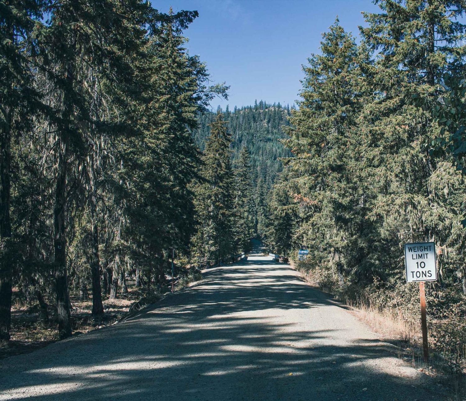
French Cabin Creek
Total Miles
7.2
Tech Rating
Easy
Best Time
Spring, Summer, Fall
Learn more about Frenchman Coulee Tour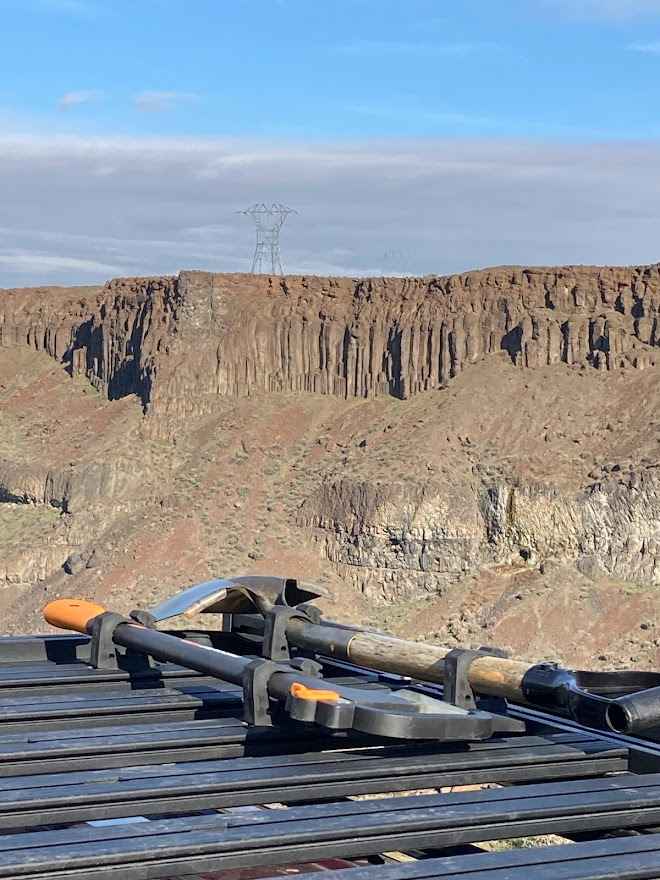
Frenchman Coulee Tour
Total Miles
2.9
Tech Rating
Easy
Best Time
Spring, Summer, Fall, Winter
Learn more about Frisco Standard - Boundary
Frisco Standard - Boundary
Total Miles
20.3
Tech Rating
Easy
Best Time
Summer
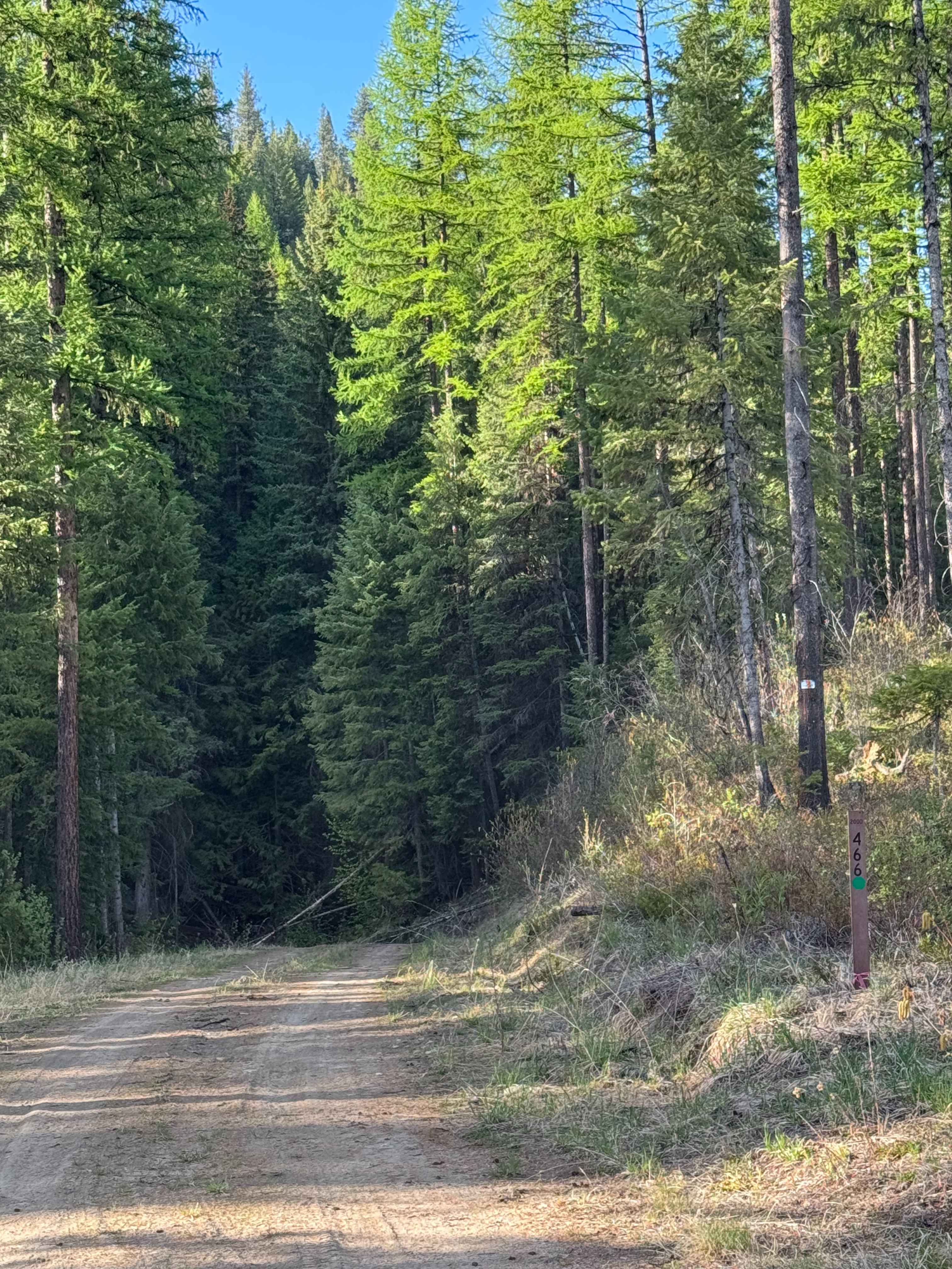
Learn more about Fritz Creek - FS 2000-400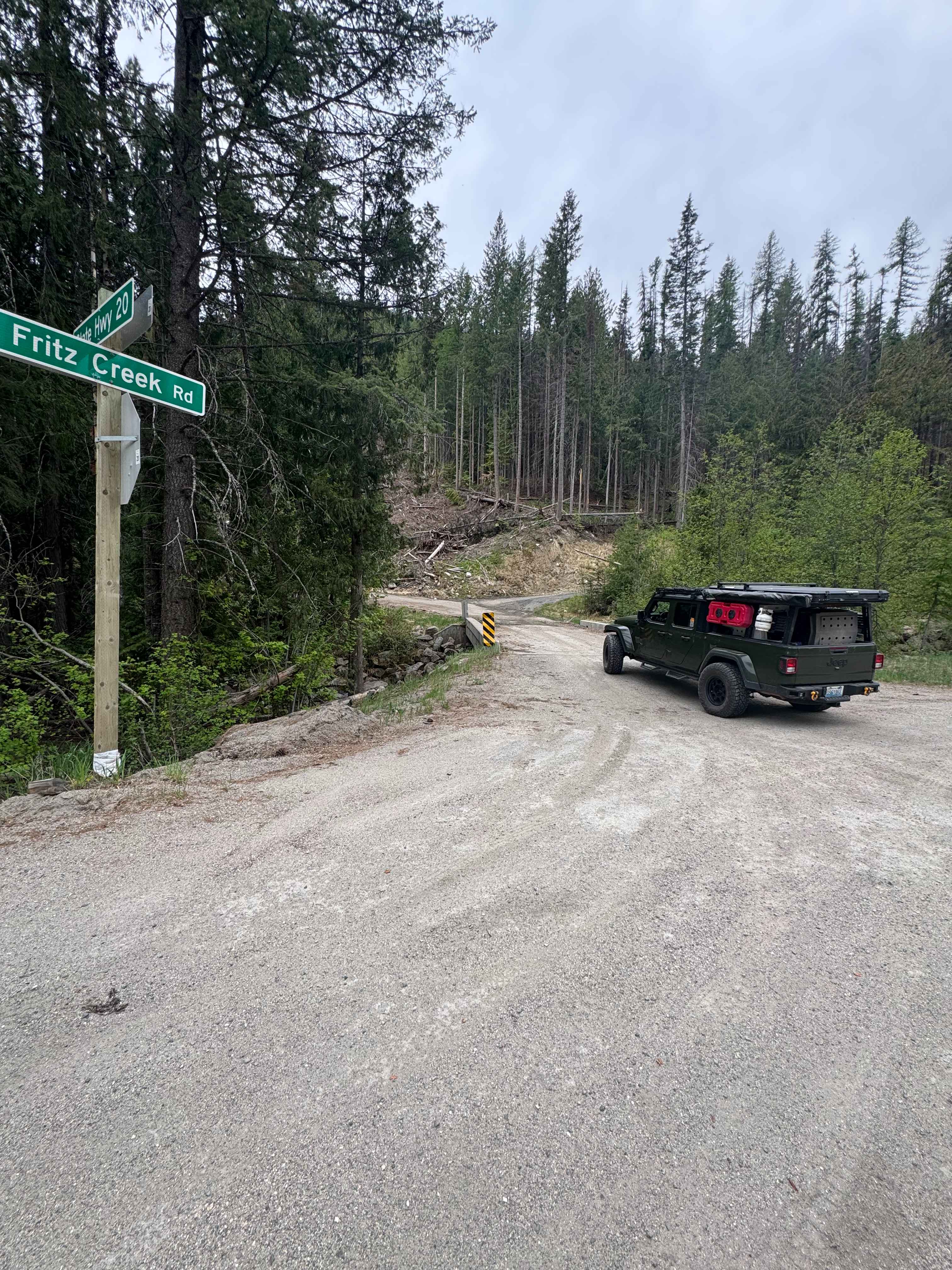
Fritz Creek - FS 2000-400
Total Miles
2.7
Tech Rating
Easy
Best Time
Spring, Summer, Fall
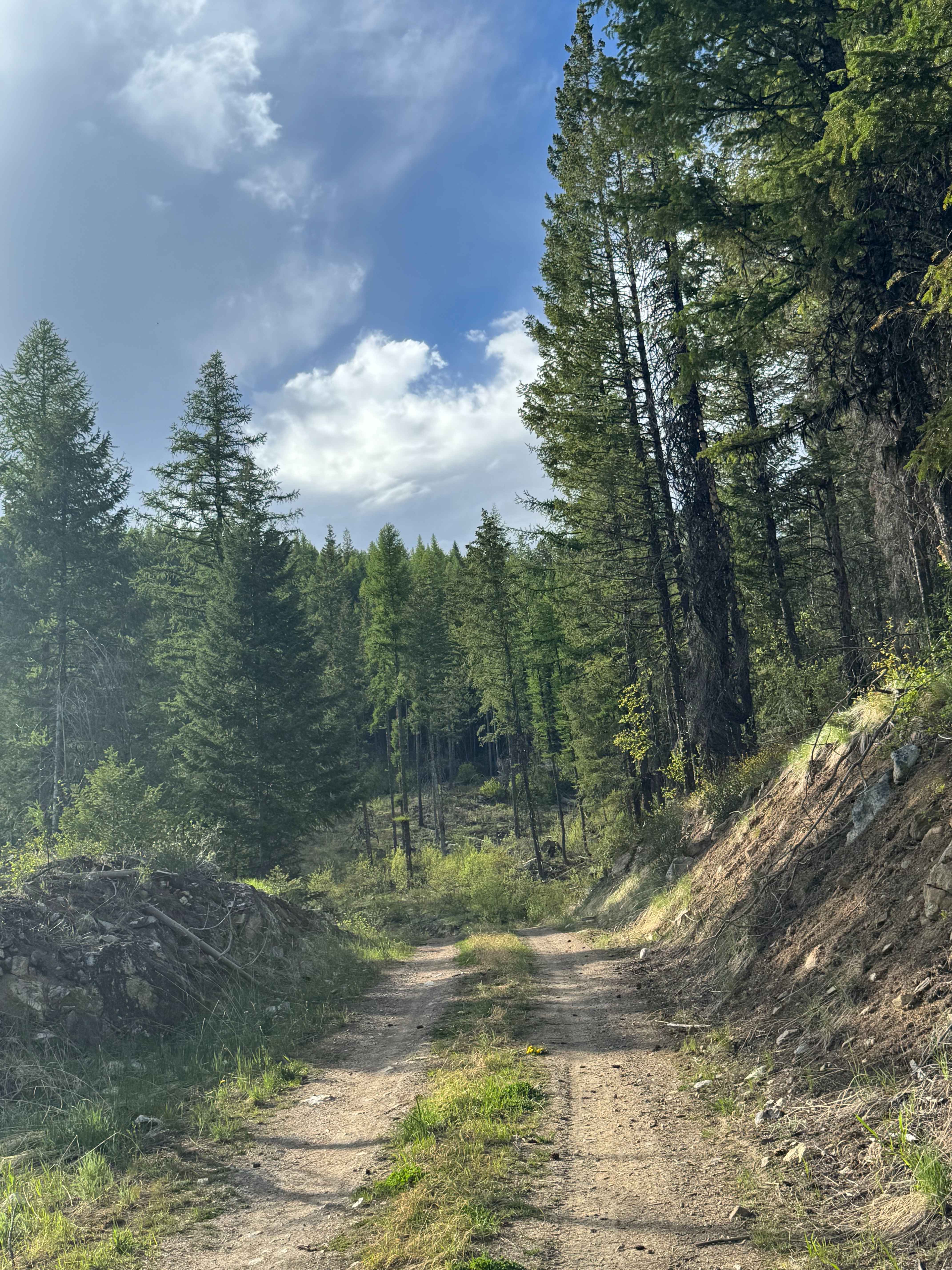
Learn more about Fritz Creek Ext - FS 2000-420
Fritz Creek Ext - FS 2000-420
Total Miles
2.1
Tech Rating
Easy
Best Time
Spring, Summer, Fall
ATV trails in Washington
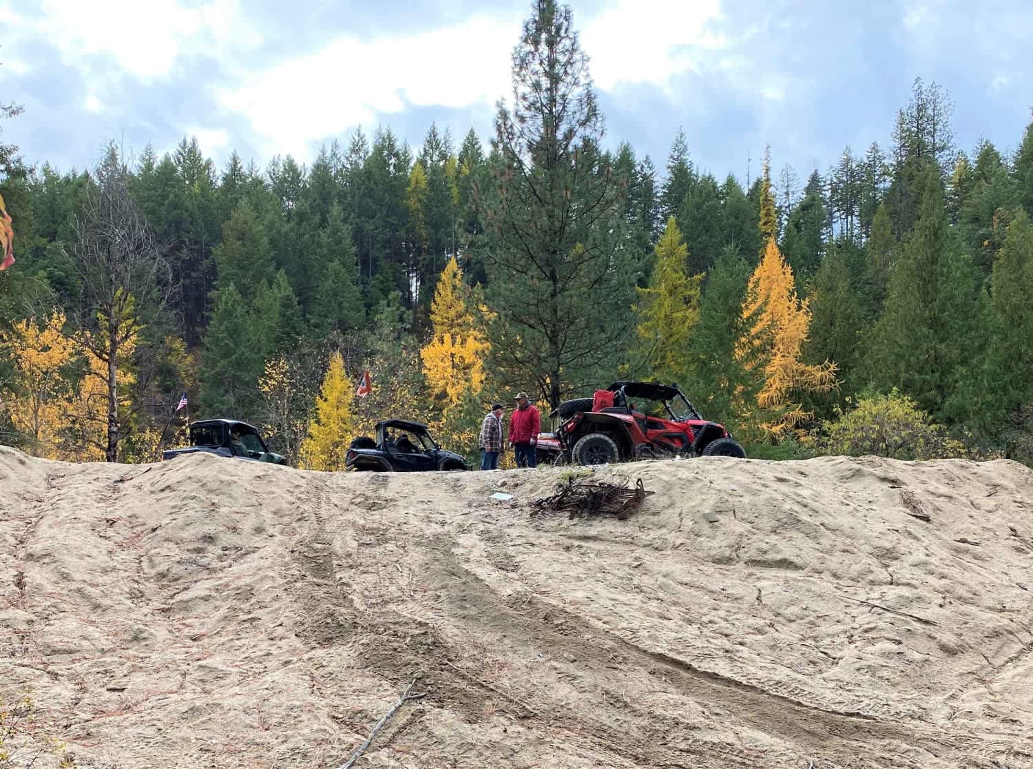


Learn more about 4104504 - Deep Woods Adventure
4104504 - Deep Woods Adventure
Total Miles
5.8
Tech Rating
Moderate
Best Time
Spring, Summer, Fall
UTV/side-by-side trails in Washington
Learn more about 4104504 - Deep Woods Adventure
4104504 - Deep Woods Adventure
Total Miles
5.8
Tech Rating
Moderate
Best Time
Spring, Summer, Fall
The onX Offroad Difference
onX Offroad combines trail photos, descriptions, difficulty ratings, width restrictions, seasonality, and more in a user-friendly interface. Available on all devices, with offline access and full compatibility with CarPlay and Android Auto. Discover what you’re missing today!