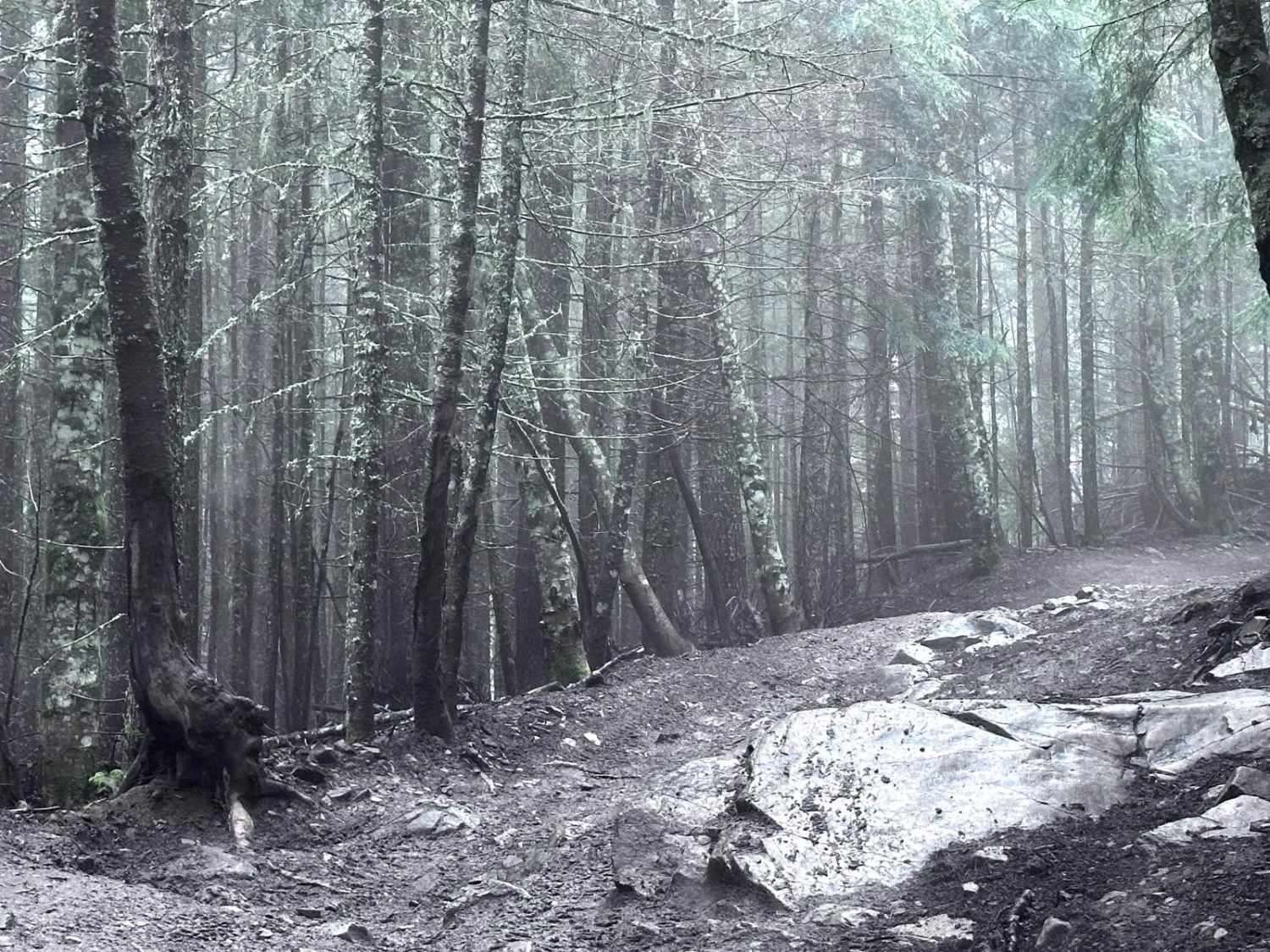
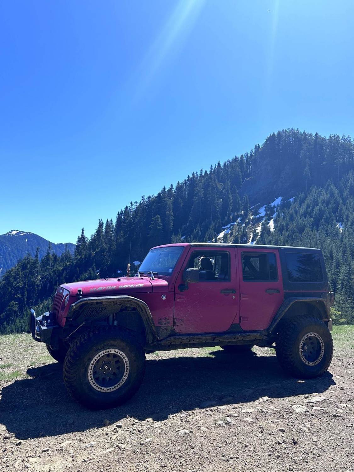
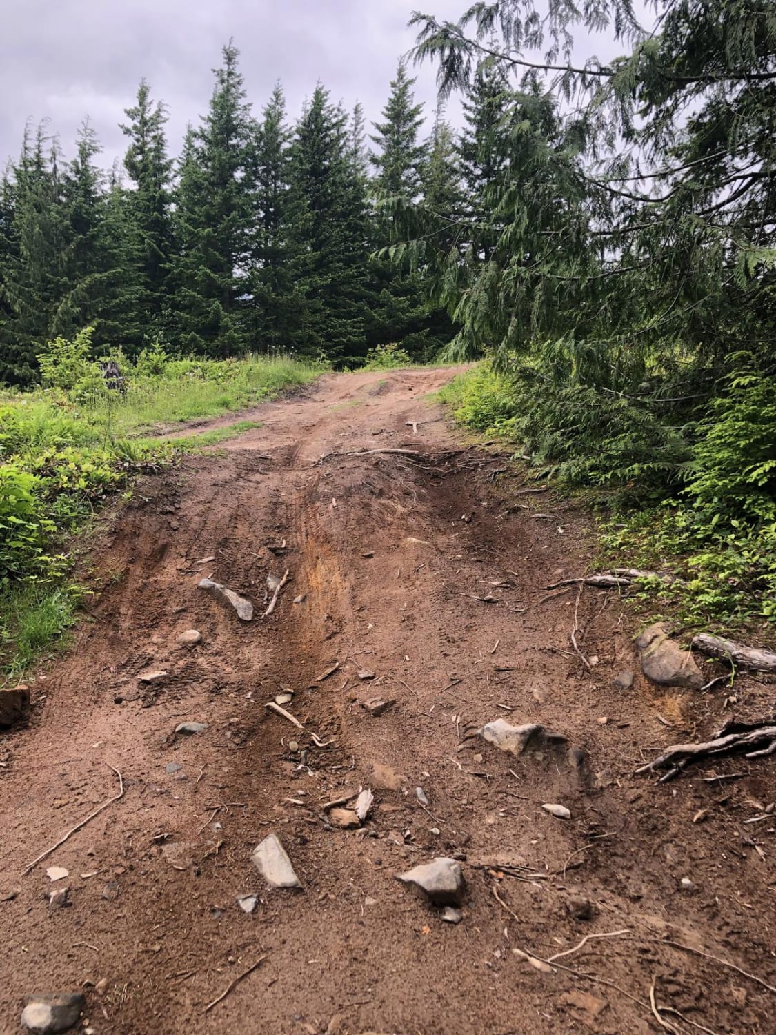
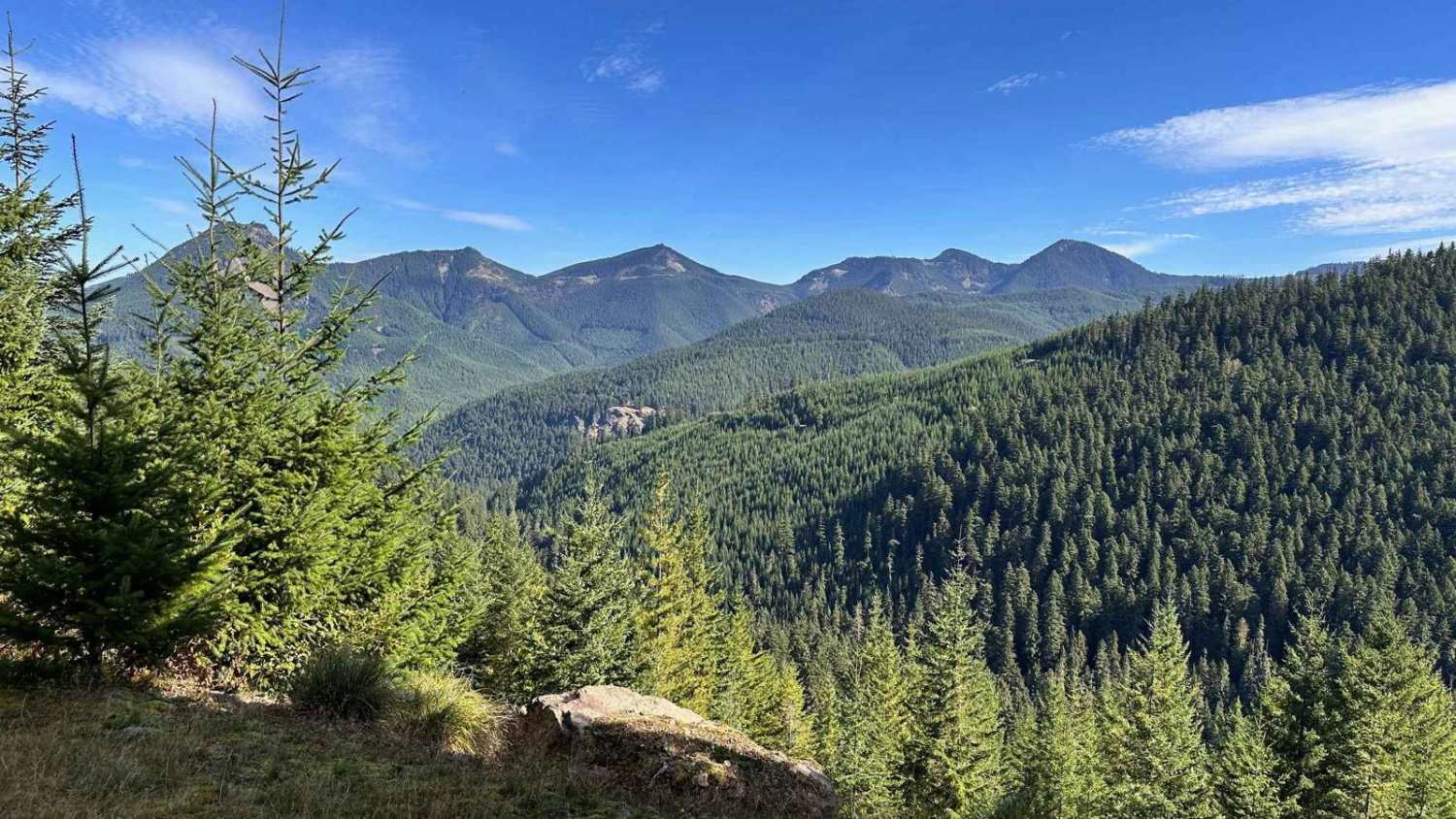
Off-Road Trails in Washington
Discover off-road trails in Washington
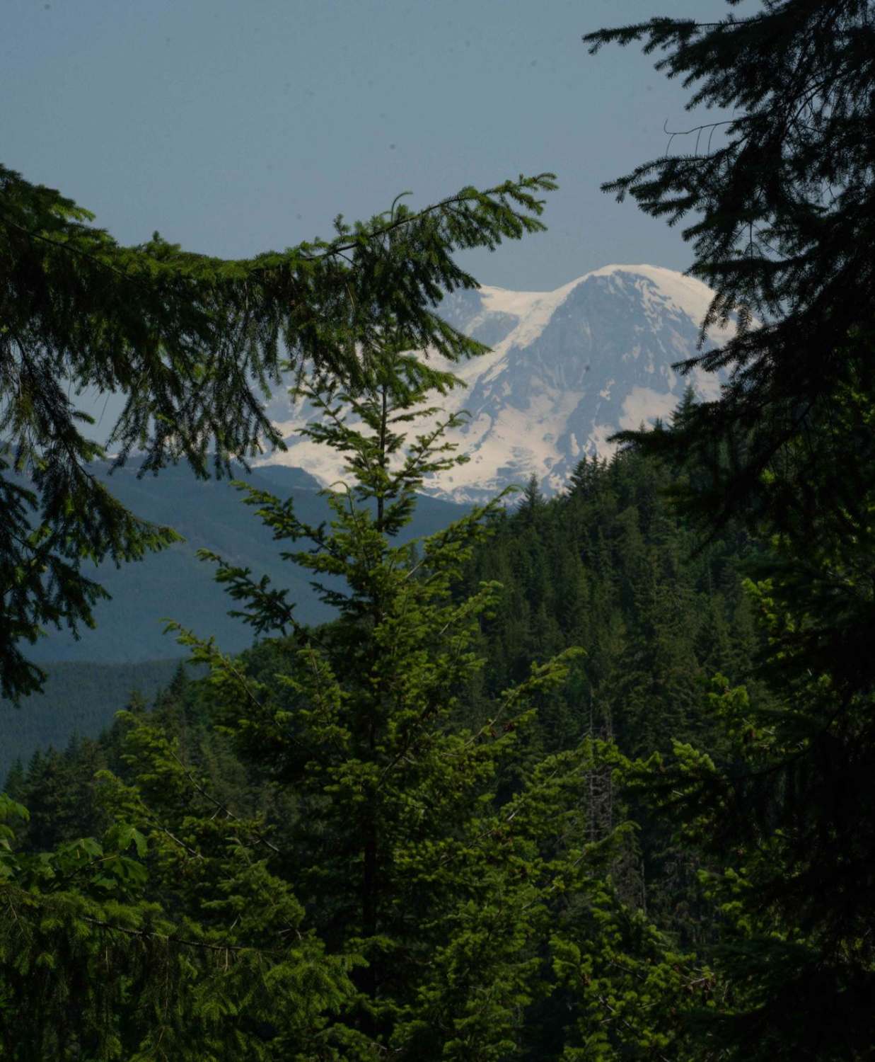
Learn more about FS70 Greenwater to Cliffdell
FS70 Greenwater to Cliffdell
Total Miles
36.3
Tech Rating
Easy
Best Time
Summer
Learn more about FSR 73 - Huckleberry Creek Loop
FSR 73 - Huckleberry Creek Loop
Total Miles
14.8
Tech Rating
Moderate
Best Time
Summer, Fall
Learn more about Fulton Creek Road to Murhut Falls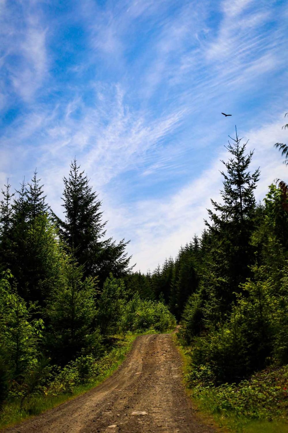
Fulton Creek Road to Murhut Falls
Total Miles
8.9
Tech Rating
Easy
Best Time
Spring, Summer, Fall
Learn more about Gale Creek - FS 4948
Gale Creek - FS 4948
Total Miles
3.5
Tech Rating
Easy
Best Time
Spring, Summer, Fall

Learn more about Gentle Campers Offroad Creekside Drive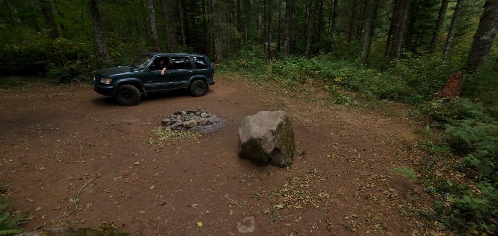
Gentle Campers Offroad Creekside Drive
Total Miles
3.2
Tech Rating
Easy
Best Time
Spring, Summer, Fall
Learn more about Getting Tanked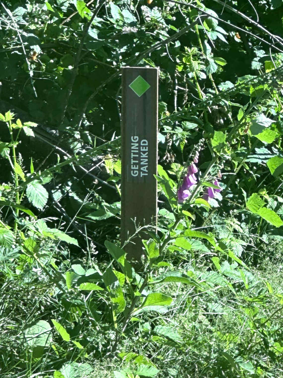
Getting Tanked
Total Miles
0.4
Tech Rating
Moderate
Best Time
Spring, Summer, Fall
Learn more about Gifford Pinchot #1 Boundary Trail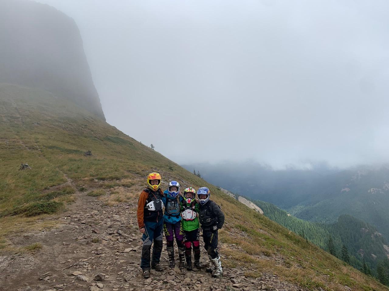
Gifford Pinchot #1 Boundary Trail
Total Miles
11.8
Tech Rating
Moderate
Best Time
Summer, Fall
Learn more about Glacier Creek Road
Glacier Creek Road
Total Miles
2.7
Tech Rating
Easy
Best Time
Spring, Summer, Fall
Learn more about Gnat Flat - NF3300
Gnat Flat - NF3300
Total Miles
8.8
Tech Rating
Easy
Best Time
Spring, Summer, Fall
Learn more about Goat Creek - FS 6100-215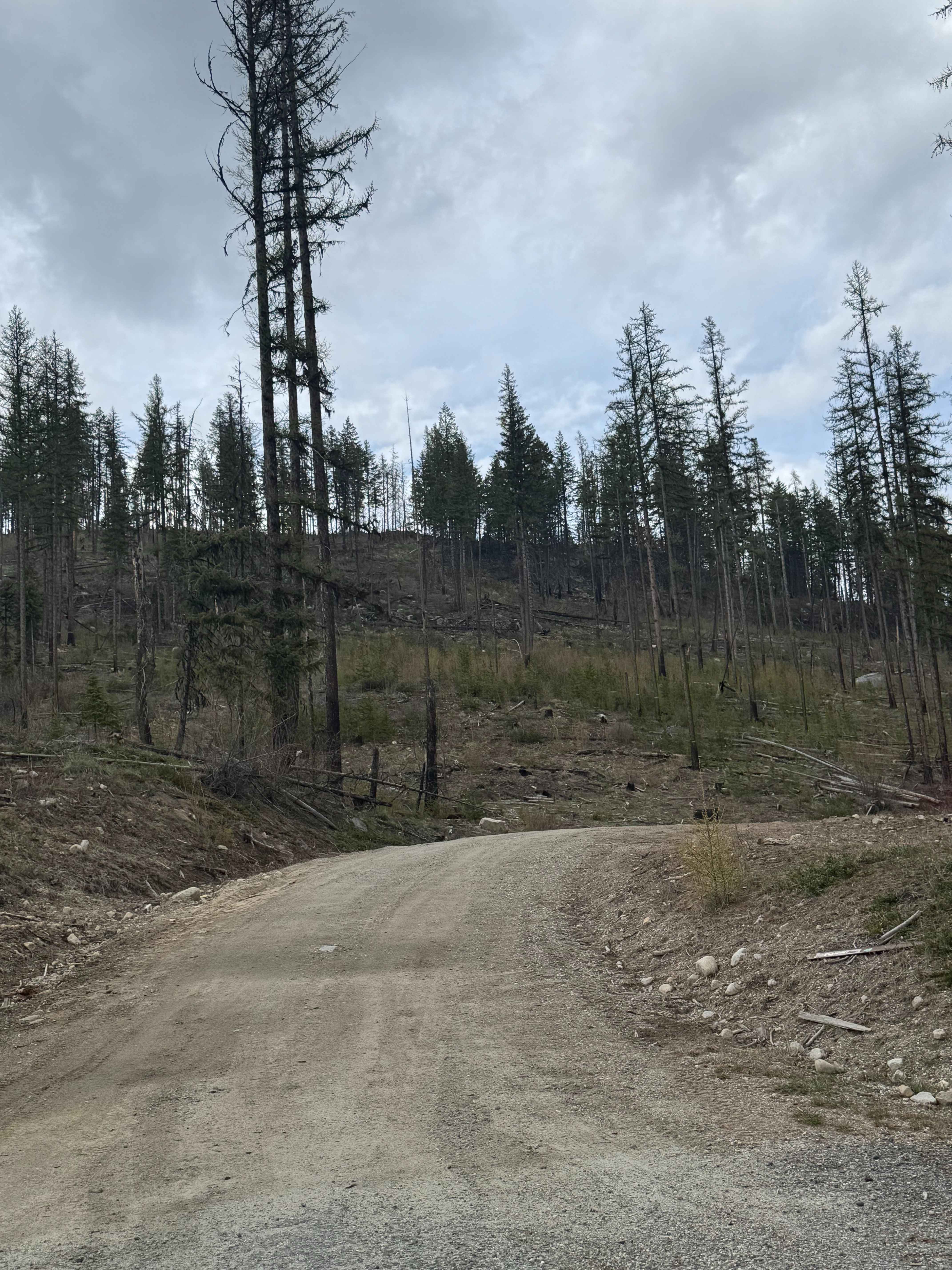
Goat Creek - FS 6100-215
Total Miles
3.5
Tech Rating
Easy
Best Time
Spring, Summer, Fall
Learn more about Goat Ranch Road
Goat Ranch Road
Total Miles
1.3
Tech Rating
Easy
Best Time
Spring, Summer, Fall, Winter


ATV trails in Washington
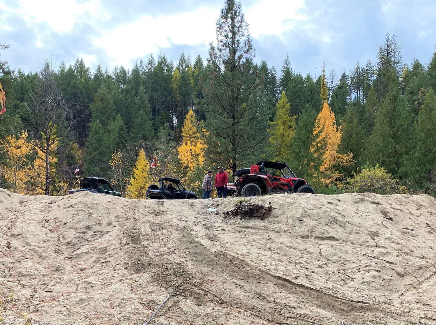


Learn more about 4104504 - Deep Woods Adventure
4104504 - Deep Woods Adventure
Total Miles
5.8
Tech Rating
Moderate
Best Time
Spring, Summer, Fall
UTV/side-by-side trails in Washington
Learn more about 4104504 - Deep Woods Adventure
4104504 - Deep Woods Adventure
Total Miles
5.8
Tech Rating
Moderate
Best Time
Spring, Summer, Fall
The onX Offroad Difference
onX Offroad combines trail photos, descriptions, difficulty ratings, width restrictions, seasonality, and more in a user-friendly interface. Available on all devices, with offline access and full compatibility with CarPlay and Android Auto. Discover what you’re missing today!