Humptulips Ridgeline Trail
Total Miles
12.3
Technical Rating
Best Time
Spring, Summer, Fall
Trail Type
High-Clearance 4x4 Trail
Accessible By
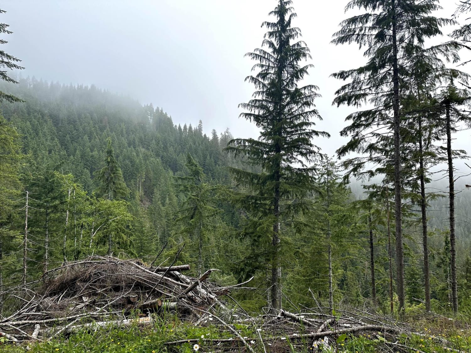
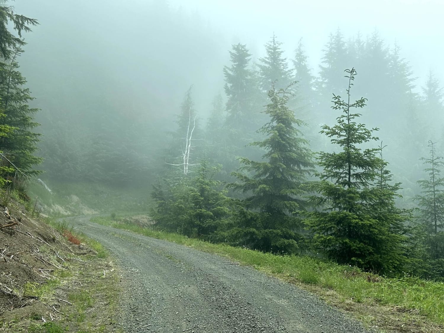
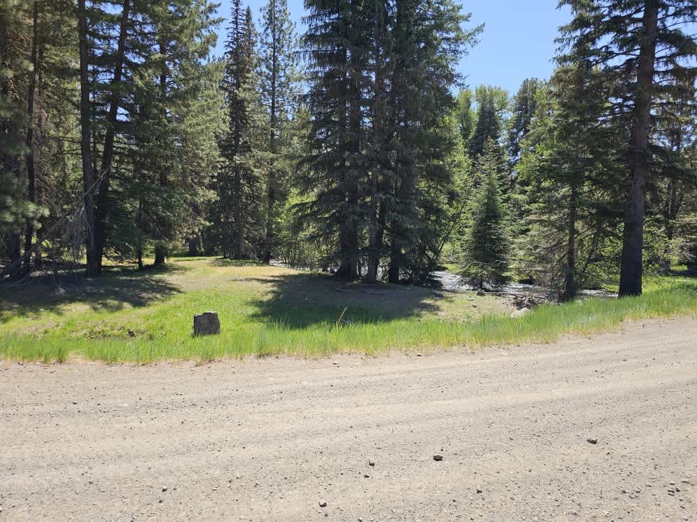
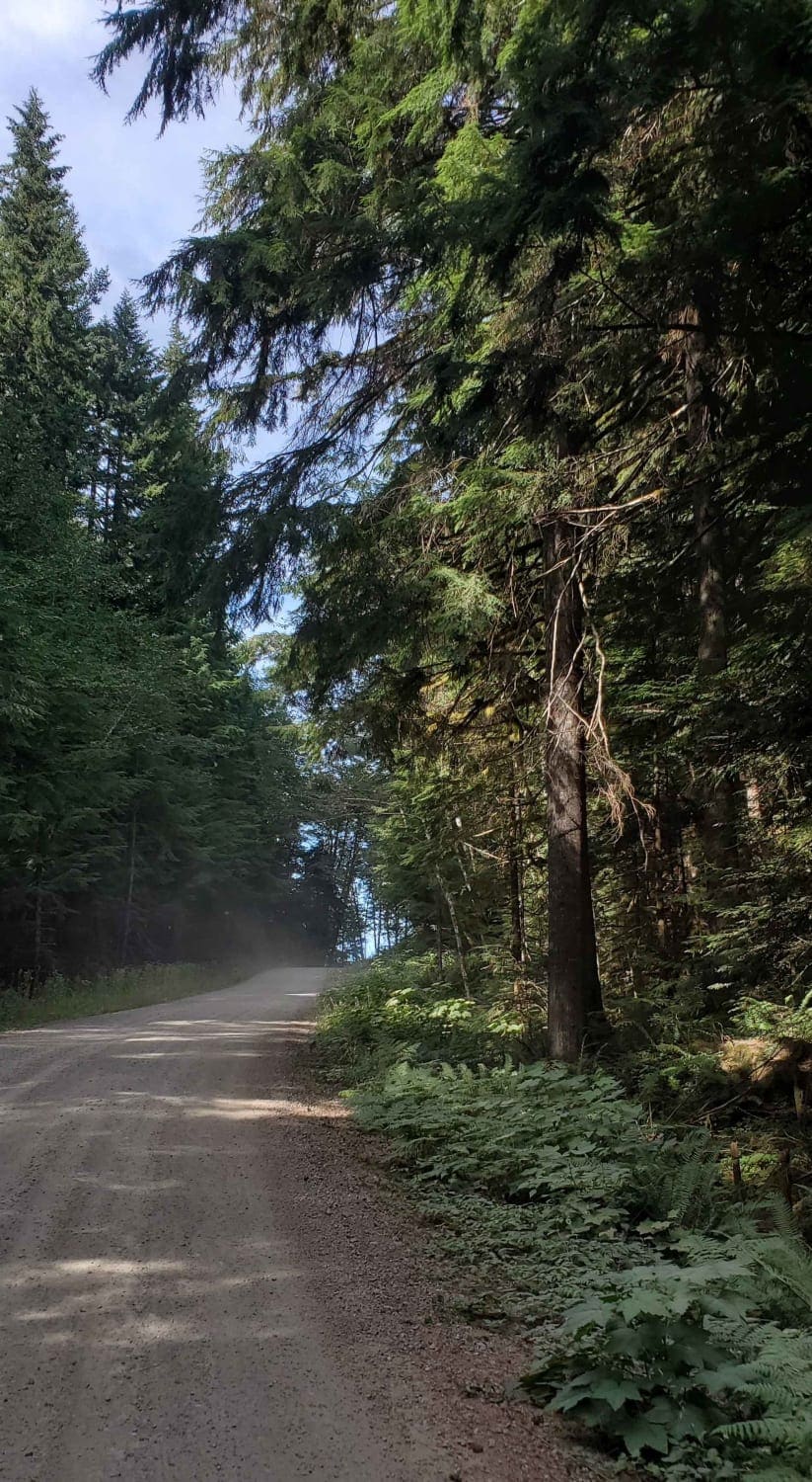
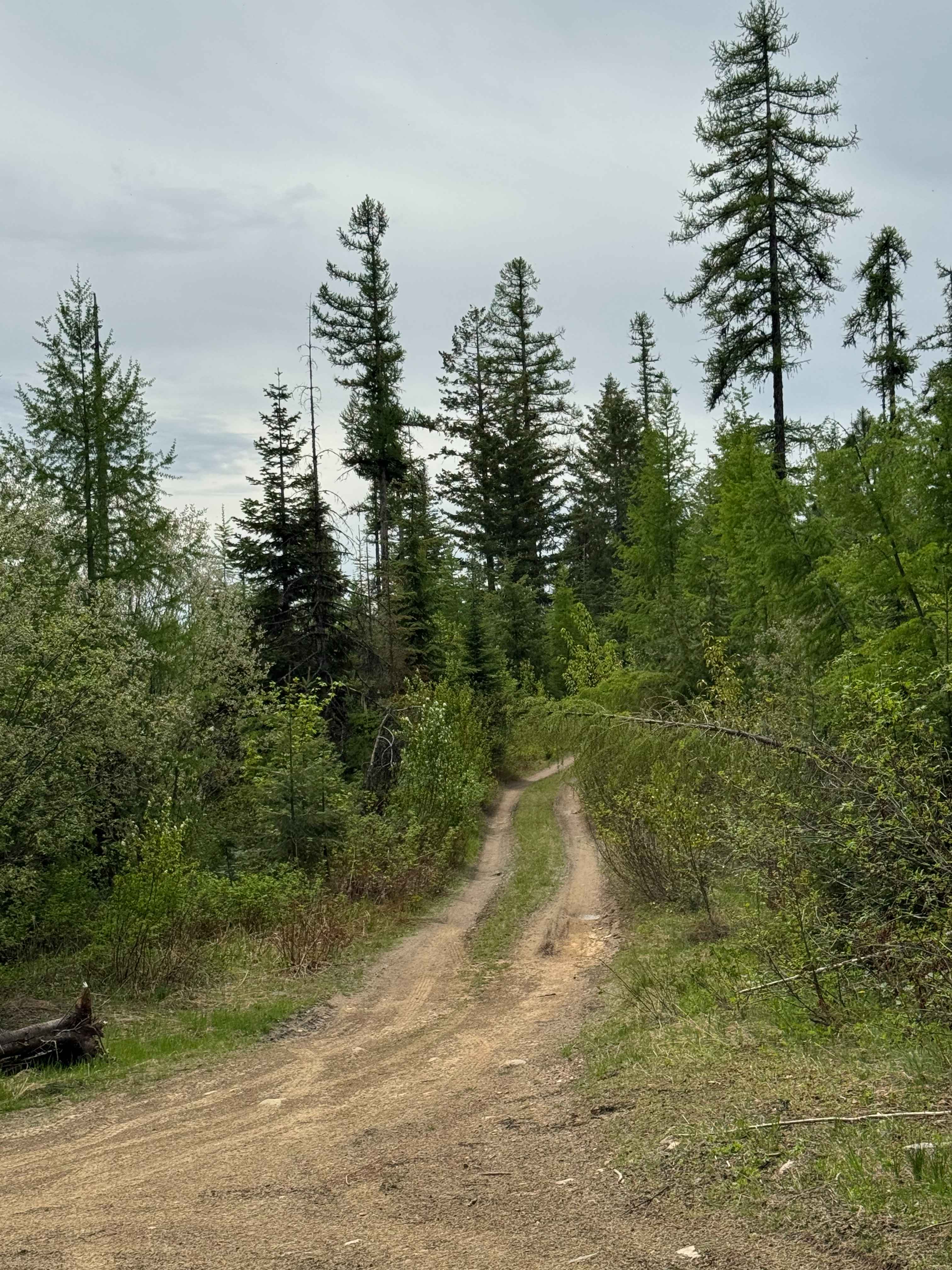
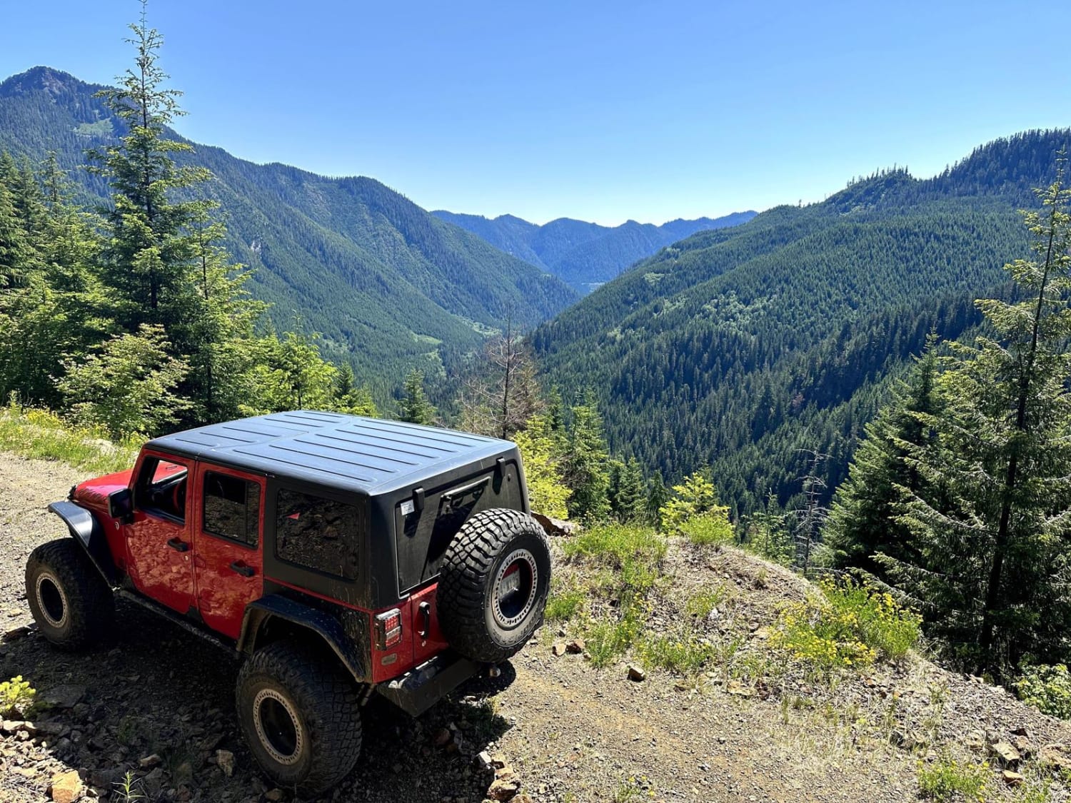
Trail Overview
This 12.9-mile point-to-point trail runs along the ridge line between the valleys of West Fork and East Fork Humptulips River. This trail gives beautiful views of the two valleys as you head back to Donkey Creek Road. This trail is a single-vehicle trail and is passable by stock 4WD vehicles.
Photos of Humptulips Ridgeline Trail
Difficulty
Single vehicle trail with fallen trees and mud holes less than 12" in depth.
Status Reports
Humptulips Ridgeline Trail can be accessed by the following ride types:
- High-Clearance 4x4
- SxS (60")
- ATV (50")
- Dirt Bike
Humptulips Ridgeline Trail Map
Popular Trails
DNR Road E363717
Three Peaks Loop
The onX Offroad Difference
onX Offroad combines trail photos, descriptions, difficulty ratings, width restrictions, seasonality, and more in a user-friendly interface. Available on all devices, with offline access and full compatibility with CarPlay and Android Auto. Discover what you’re missing today!