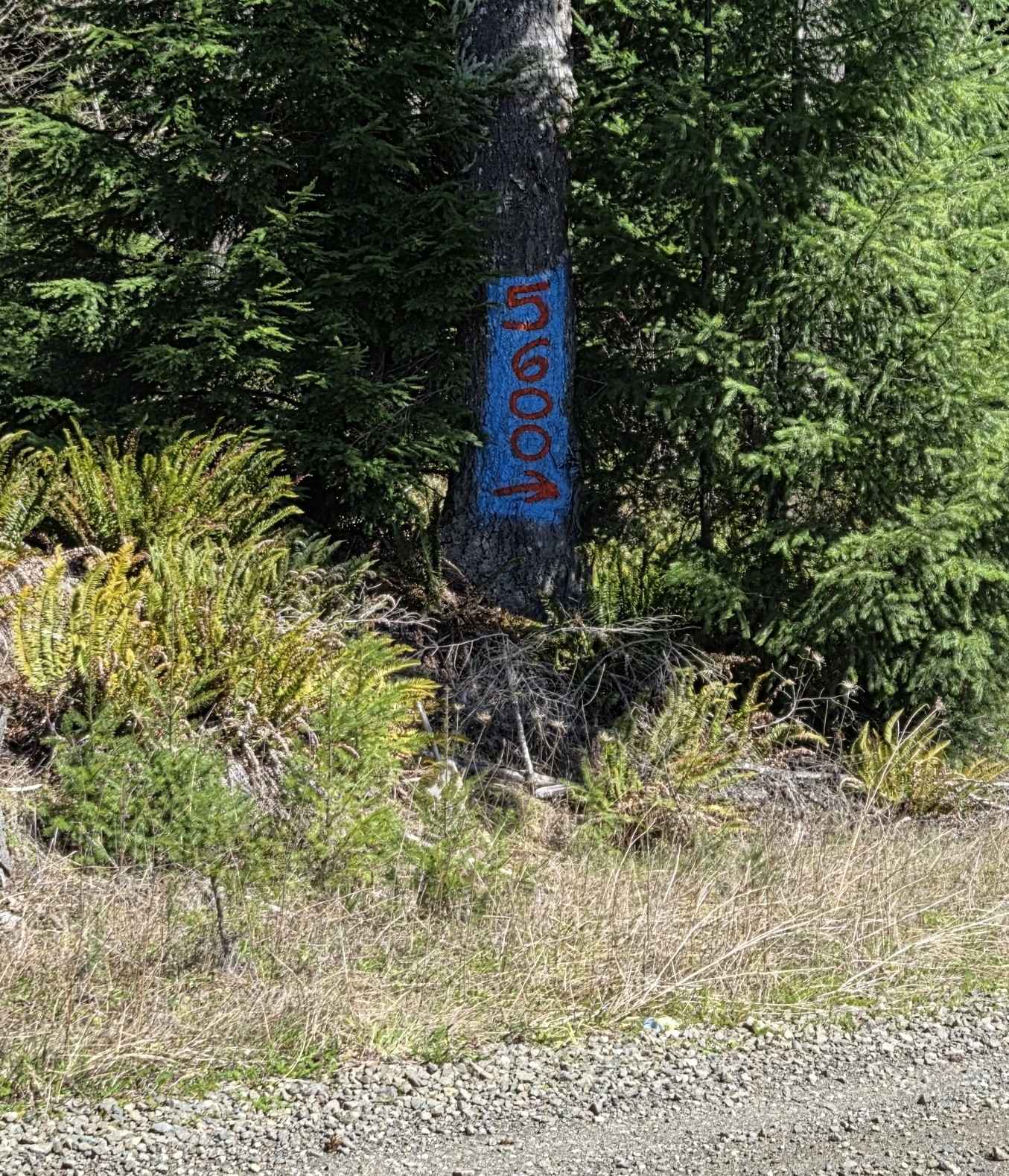
DNR Road E363717
Total Miles
3.0
Technical Rating
Best Time
Spring, Summer, Fall
Trail Type
Full-Width Road
Accessible By
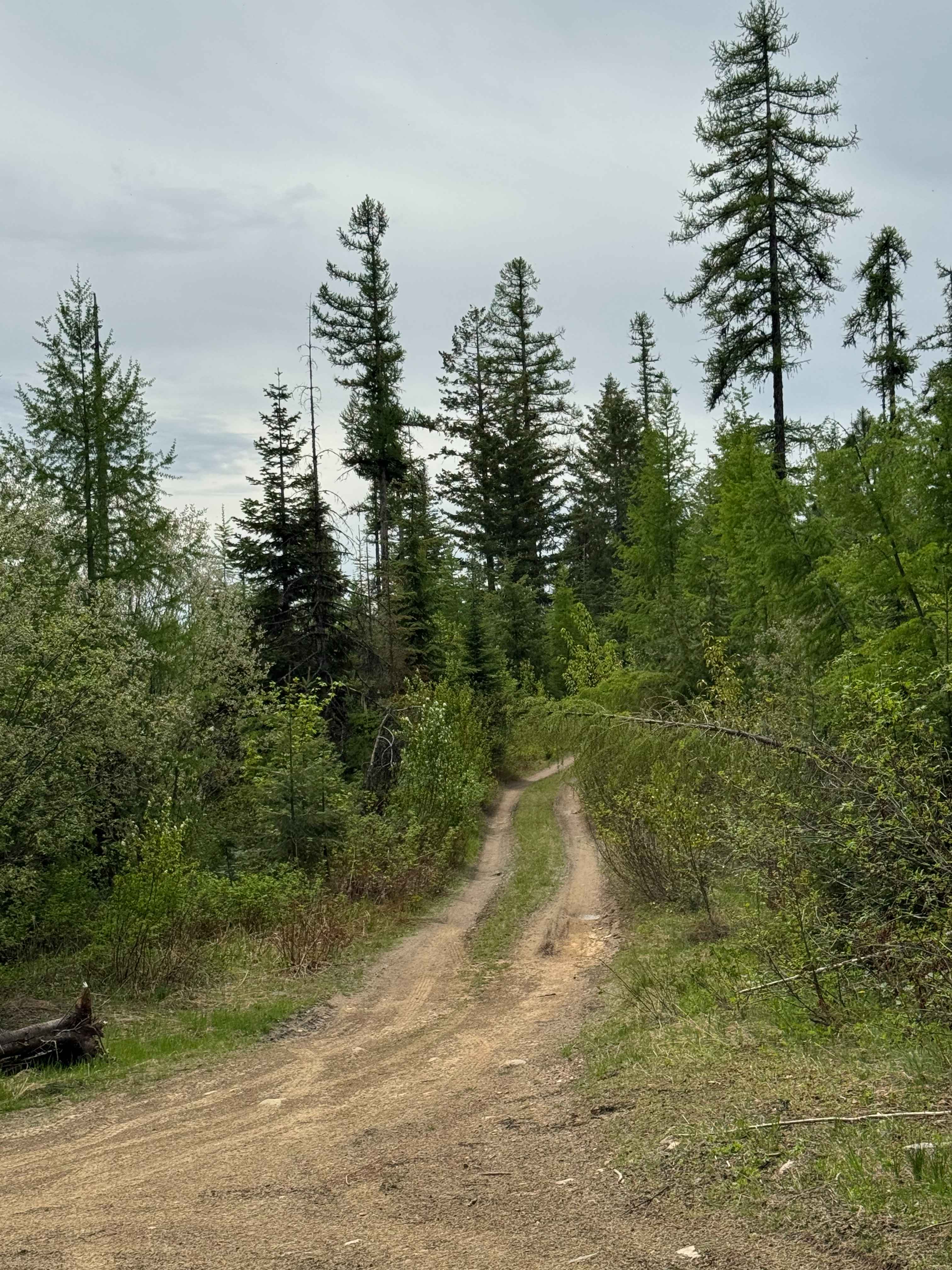
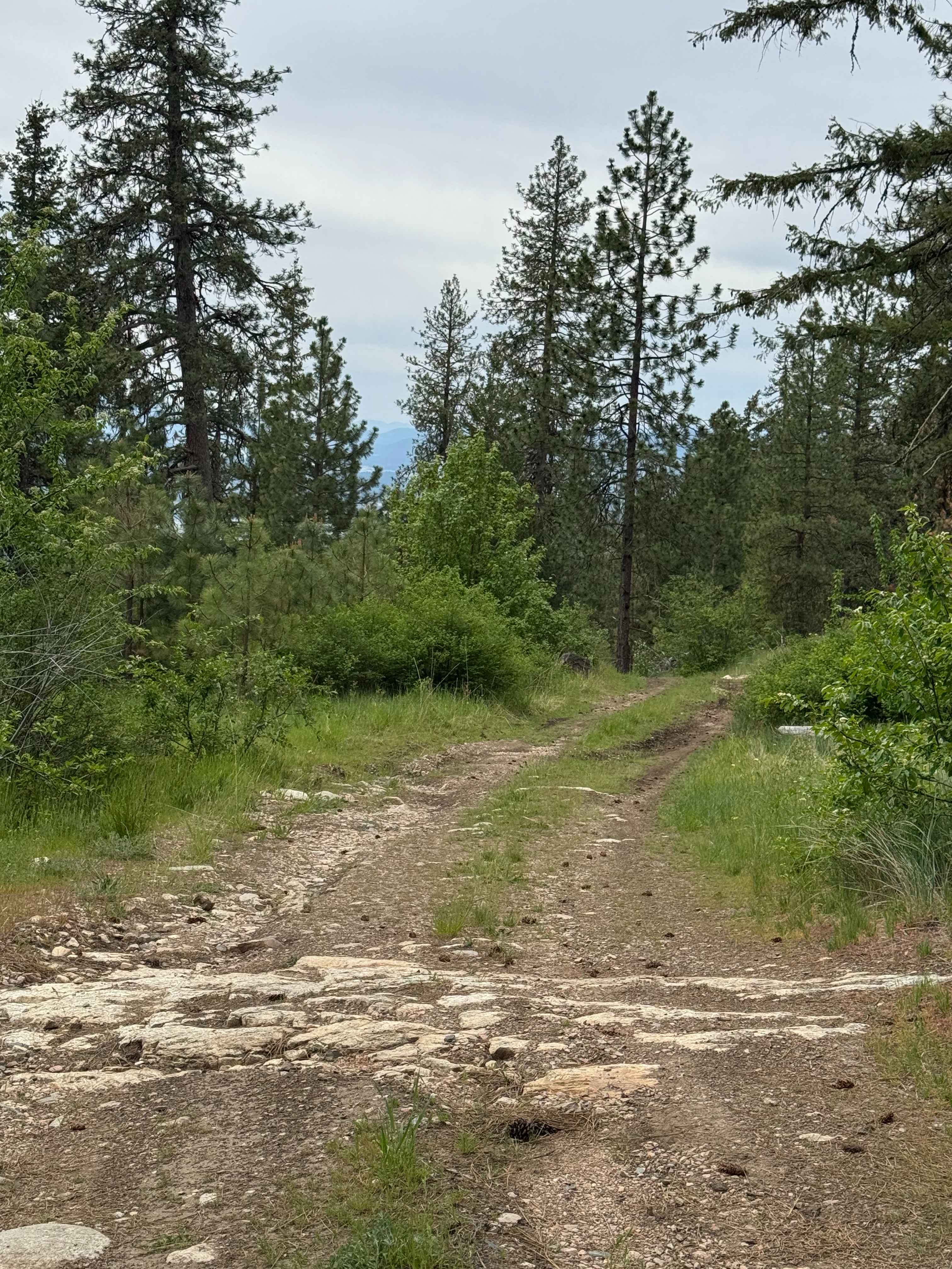
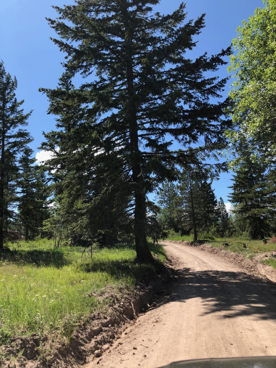
Trail Overview
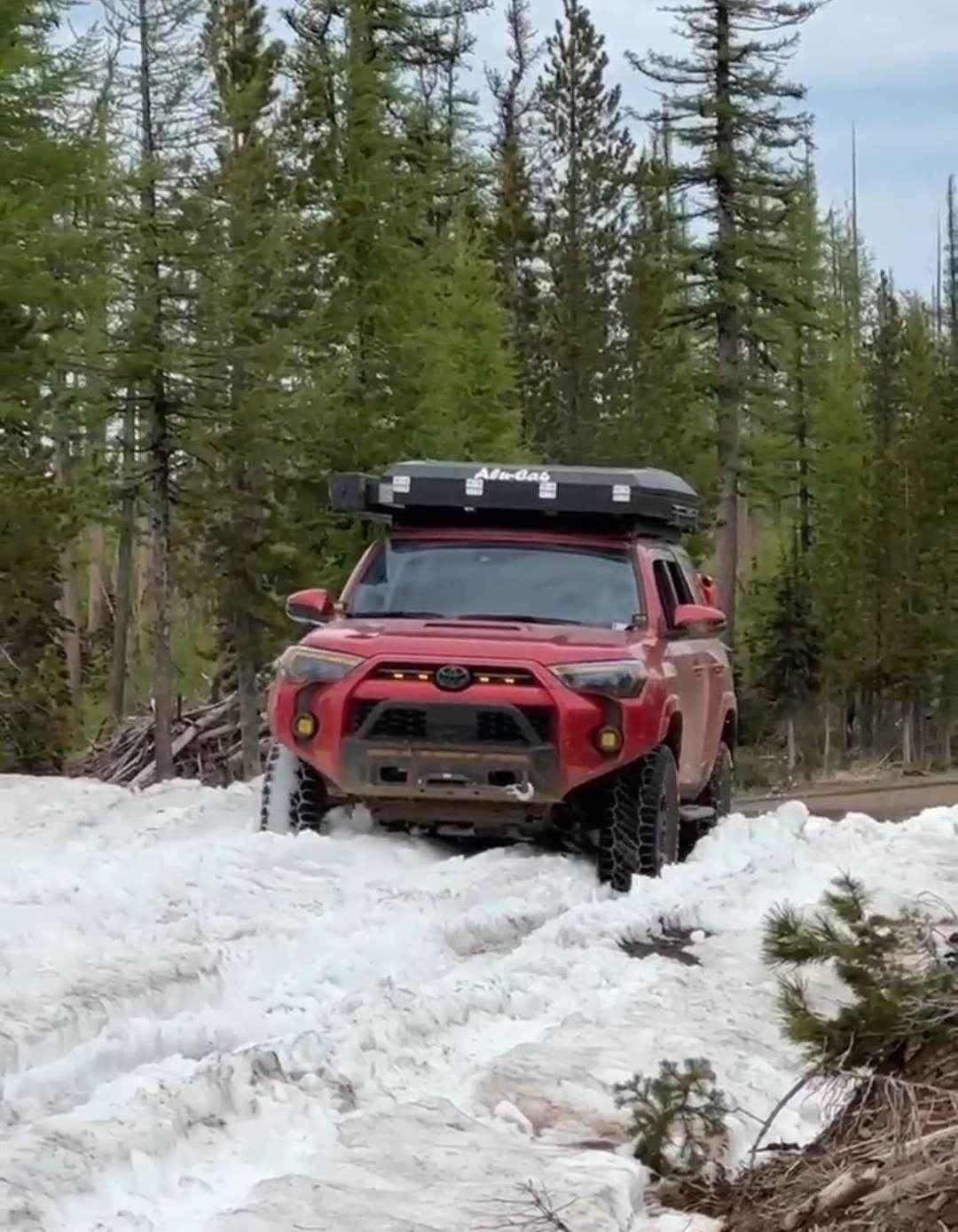
This is a narrow, two-track road on Washington DNR Land. The trail is dirt-based with rocky sections and loose rock. It is extremely narrow, and there are few places to pass. Camping is available along this route within 100 feet of the road on either side, and you may stay up to 21 days. A Discover Pass is required to enjoy this area. You will have great views of the surrounding ridges and peaks, and will be able to see the nearby Lake Roosevelt. The terrain is rough, so travel with all needed supplies, but overall, any vehicle should be able to navigate this trail with little to no issue. There are no amenities, and the nearest services are in the City of Kettle Falls, approximately 10 miles away. Cellphone service was weak on this trail.
Photos of DNR Road E363717
Difficulty
Narrow one-lane dirt-based road with some washboard and rocky/bumpy sections. Minor ruts and wash, suitable for most vehicle types.
Status Reports
DNR Road E363717 can be accessed by the following ride types:
- High-Clearance 4x4
- SUV
- SxS (60")
- ATV (50")
- Dirt Bike
DNR Road E363717 Map
Popular Trails
Bethel Ridge Road East

Hunt Creek Road
Pomeroy Grouse Flat #40 (#2)
The onX Offroad Difference
onX Offroad combines trail photos, descriptions, difficulty ratings, width restrictions, seasonality, and more in a user-friendly interface. Available on all devices, with offline access and full compatibility with CarPlay and Android Auto. Discover what you’re missing today!