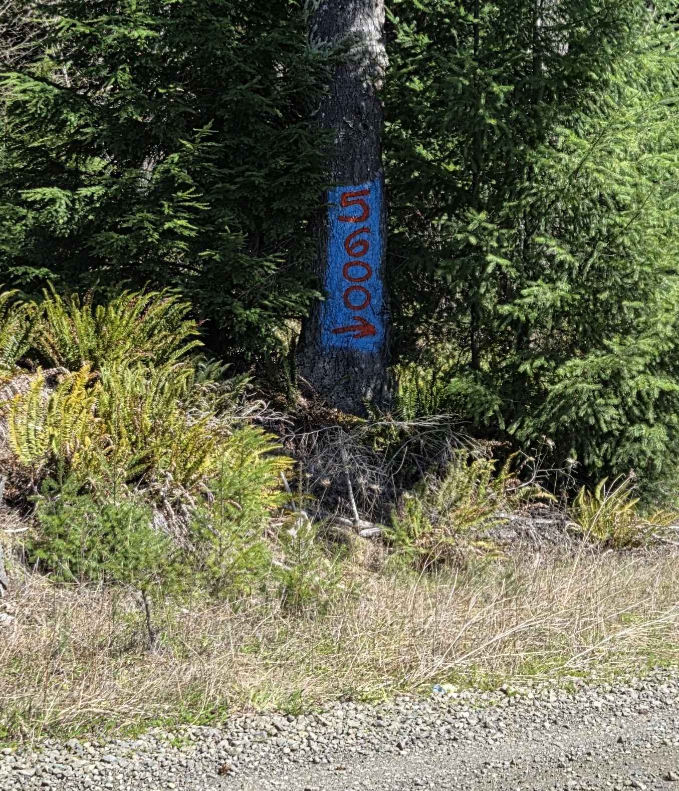
5600
Total Miles
1.3
Technical Rating
Best Time
Spring, Summer, Fall
Trail Type
Full-Width Road
Accessible By
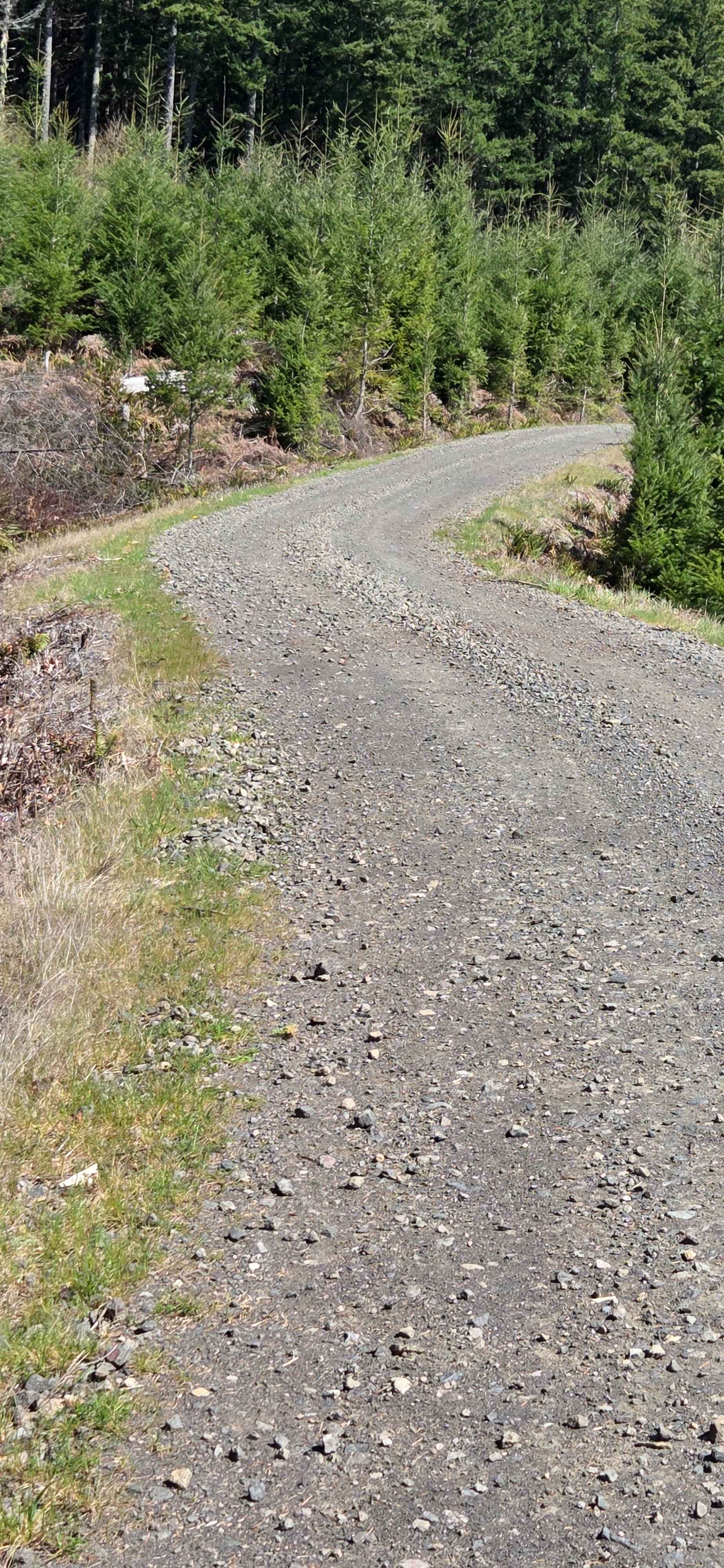
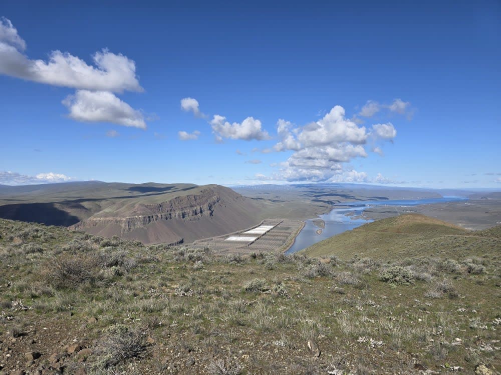
Trail Overview
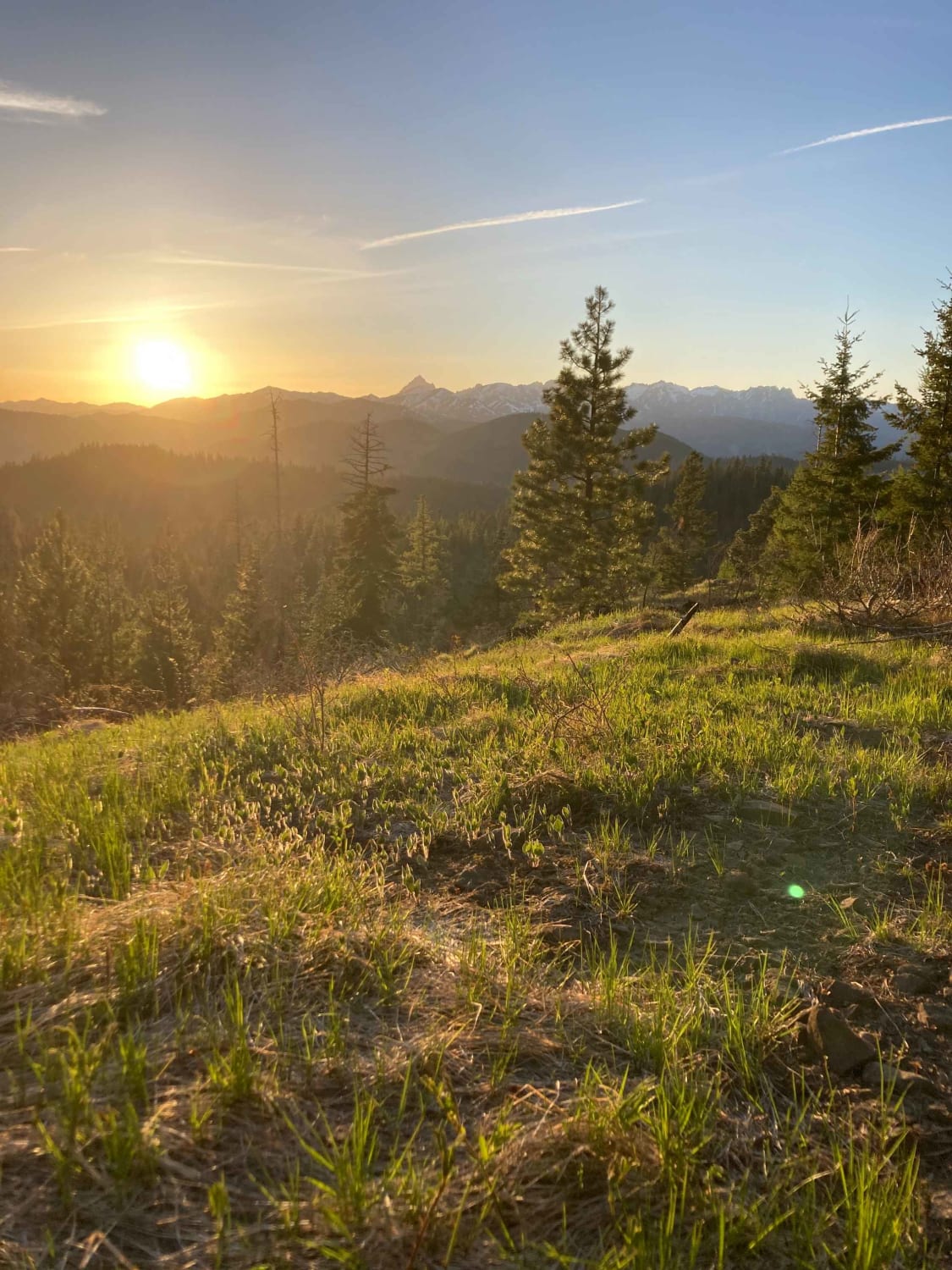
This is a narrow gravel road that is, at the west end, either the start or the finish of the 5600, depending on which way you run it. This route connects the 5100 (west) to the "5600 to 5605" trail (east). Most vehicles can travel this route. Along the way, there are many drainages that in springtime produce beautiful little waterfalls, and Mount St. Helens pops in and out of view. Cell service is sparse in this area.
Photos of 5600
Difficulty
Narrow at times, with plenty of spots to pass oncoming traffic. Occasional potholes are present.
History
Public lands maintained by the State of Washington Department of Natural Resources.
Status Reports
5600 can be accessed by the following ride types:
- High-Clearance 4x4
- SUV
- SxS (60")
- ATV (50")
- Dirt Bike
5600 Map
Popular Trails
View for Days
FR 4430 - War Creek/West Twisp River
Saddle Mountain Northwest Trail
Derby Canyon Road
The onX Offroad Difference
onX Offroad combines trail photos, descriptions, difficulty ratings, width restrictions, seasonality, and more in a user-friendly interface. Available on all devices, with offline access and full compatibility with CarPlay and Android Auto. Discover what you’re missing today!