Illabot Mainline
Total Miles
9.6
Technical Rating
Best Time
Summer
Trail Type
High-Clearance 4x4 Trail
Accessible By
Trail Overview
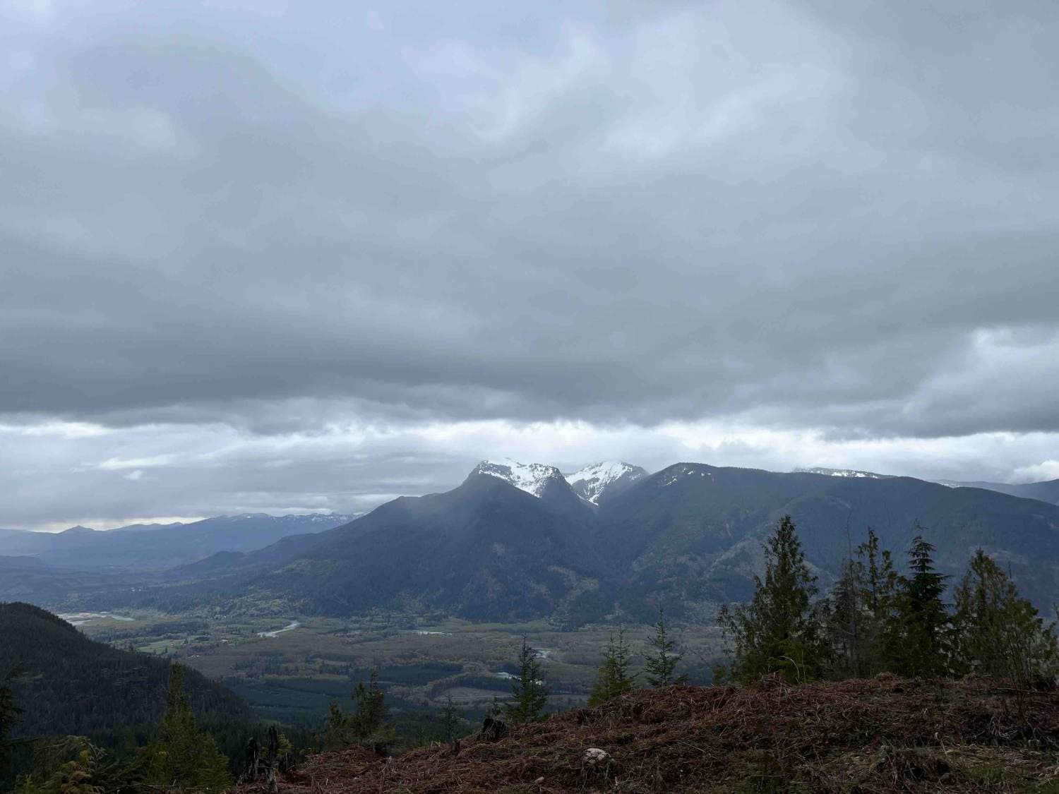
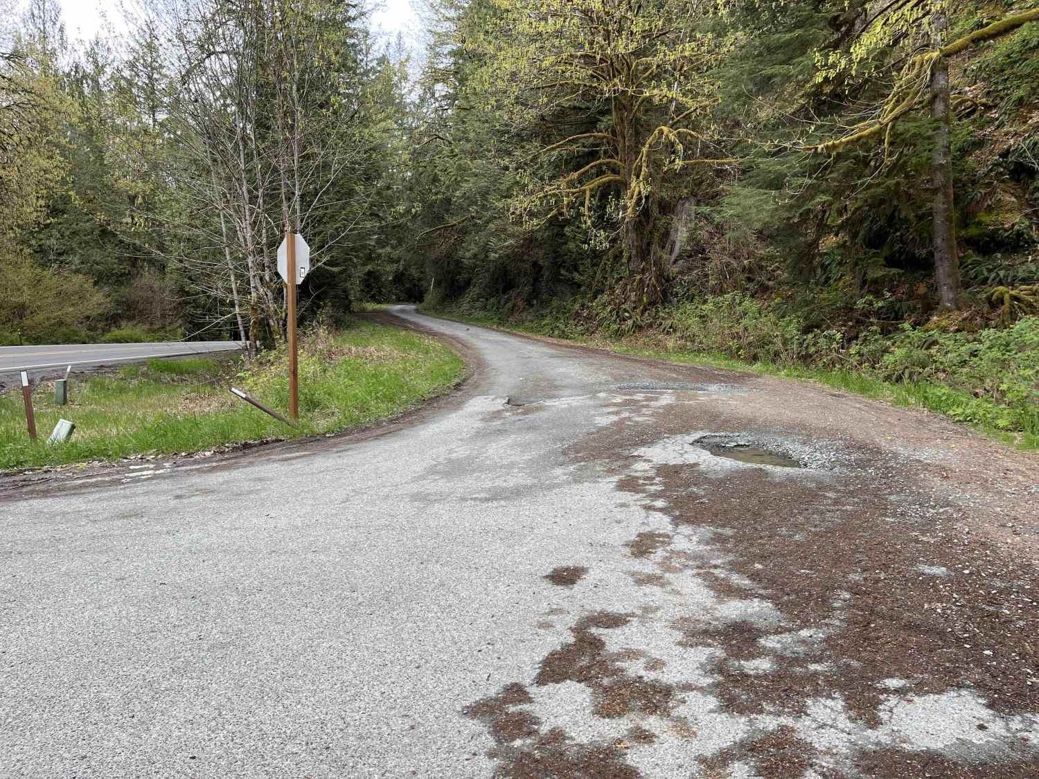
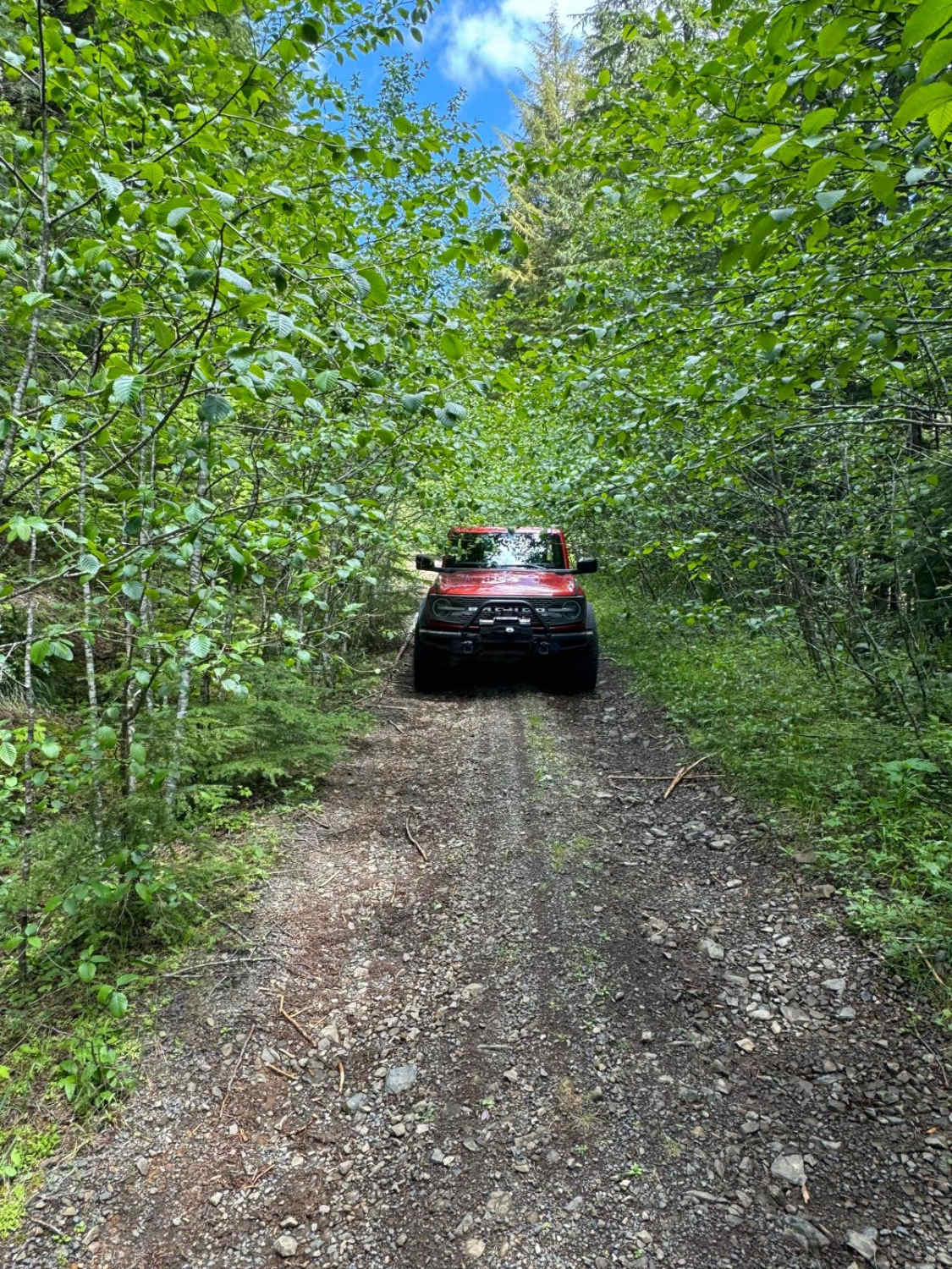
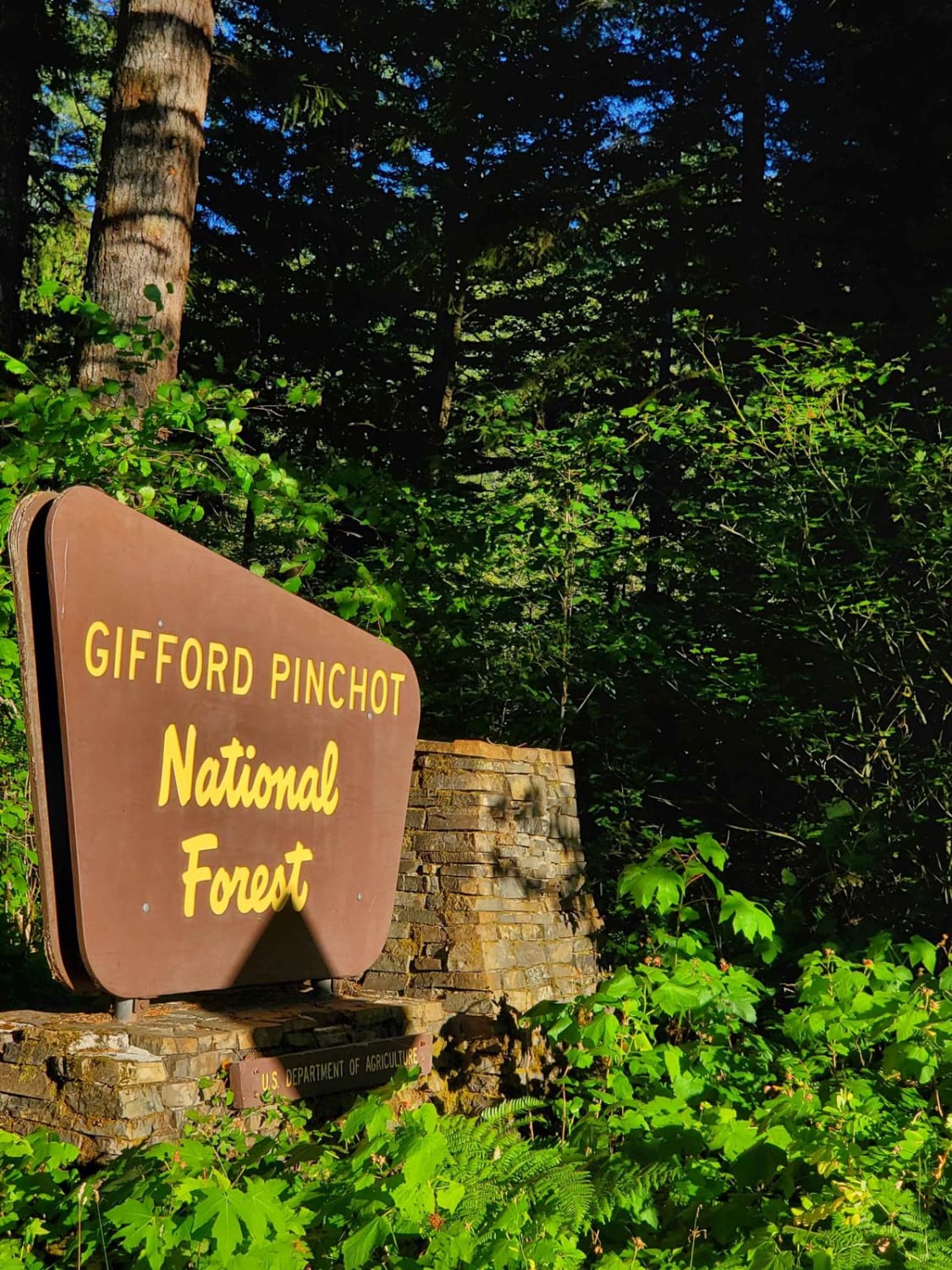
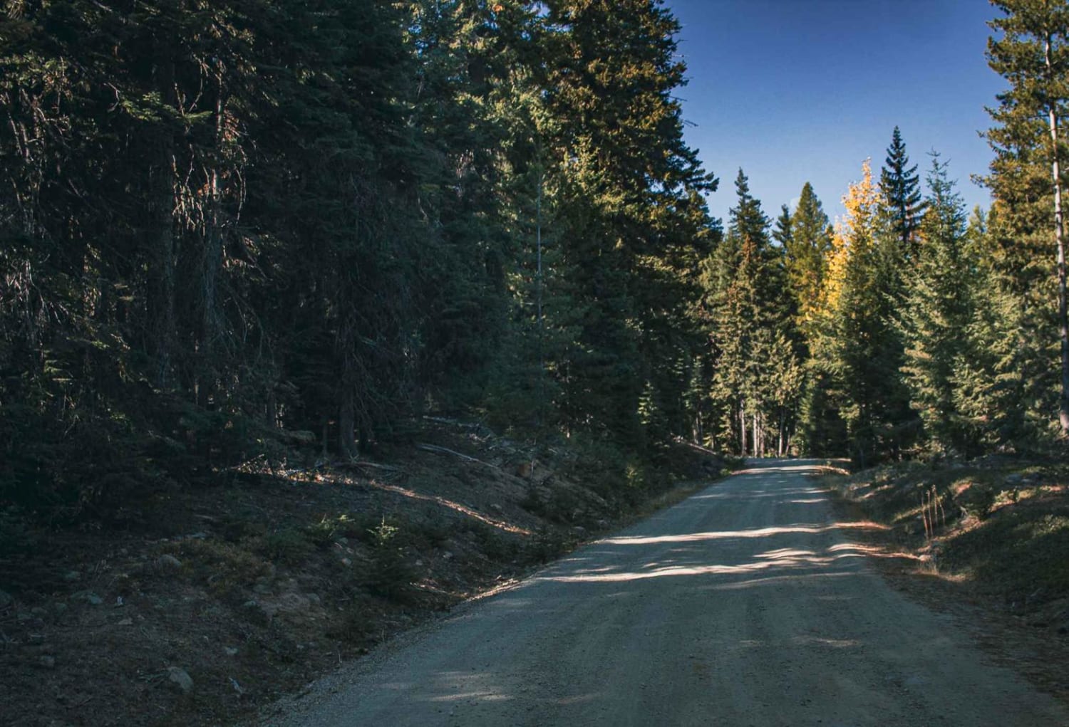
Illabot Mainline is a 23-mile out-and-back gravel road located 10 minutes north of Darrington and dead-ends at several hiking trails. This trail is open to all vehicles for the first 6 miles before becoming heavily rutted and brushy; some 2WD and full-size vehicles may have a hard time past this point. Illabot features many stopping points, including views of eastern Skagit Valley and a waterfall. The Illabot Mainline passes in and out of Mount Baker National Forest and Sierra Pacific Land and Timber Company property, however, public use is allowed with some restrictions per spi-ind.com. The Illabot Mainline is an excellent trail for those looking to get their feet wet in some light offroading while getting some great views! As of 4/15/24, the Illabot Mainline is blocked at 9 miles in by significant windfall.
Photos of Illabot Mainline
Difficulty
The first 6 miles are passable by any vehicle. After this point, Illabot becomes heavily rutted and brushy.
Status Reports
Illabot Mainline can be accessed by the following ride types:
- High-Clearance 4x4
- SxS (60")
- ATV (50")
- Dirt Bike
Illabot Mainline Map
Popular Trails
Gumboot Mountain Trail
Deep Forest Connection Road
Bear Creek Mountain

Cold Creek Camp
The onX Offroad Difference
onX Offroad combines trail photos, descriptions, difficulty ratings, width restrictions, seasonality, and more in a user-friendly interface. Available on all devices, with offline access and full compatibility with CarPlay and Android Auto. Discover what you’re missing today!