Alder Ridge Loop
Total Miles
5.3
Technical Rating
Best Time
Spring, Summer, Fall
Trail Type
High-Clearance 4x4 Trail
Accessible By
Trail Overview
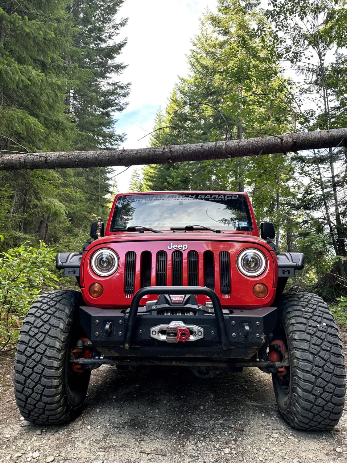
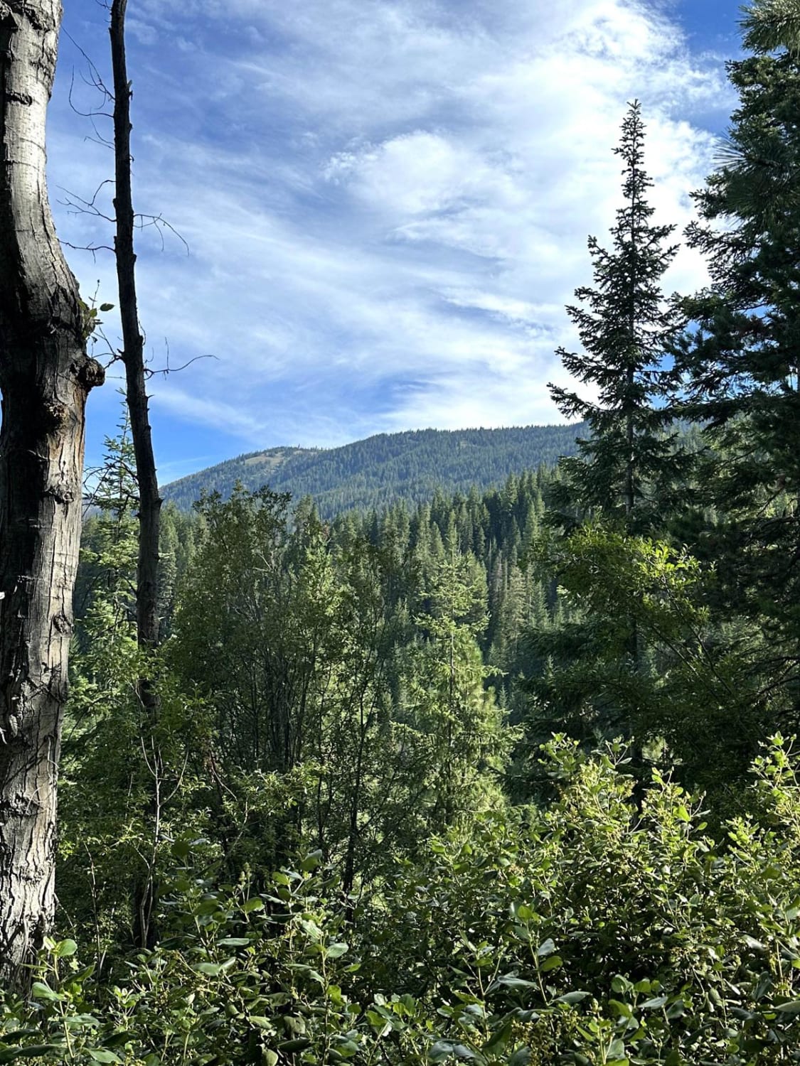
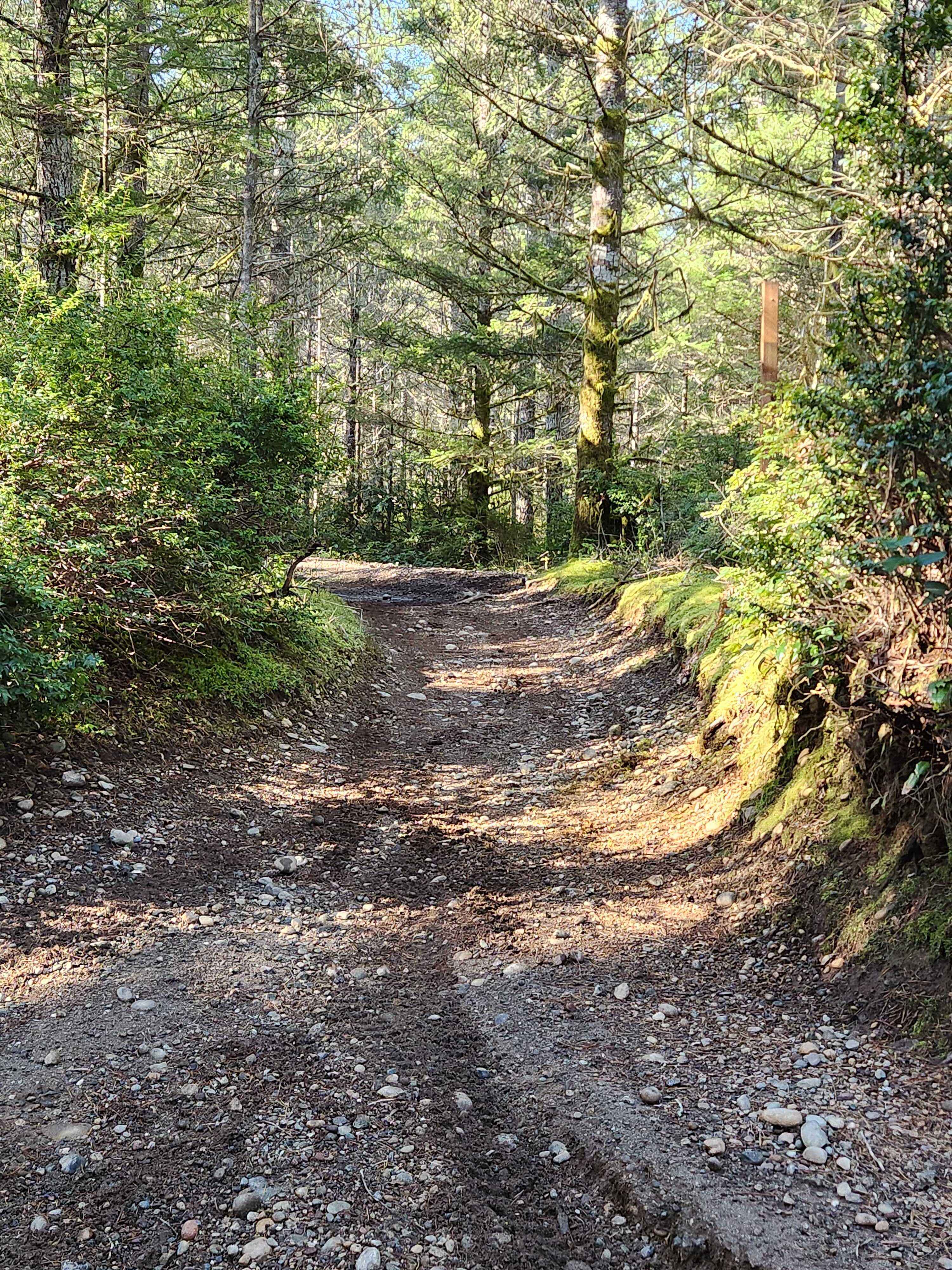
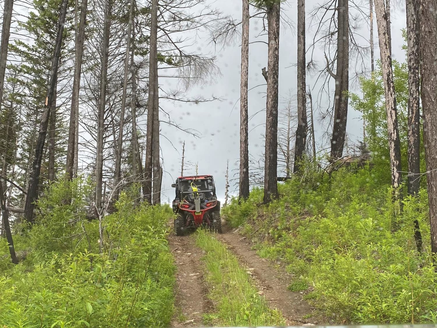
This 5.6-mile loop trail takes you around the Alder Creek area and connects to multiple other trails. There is a single-track motorcycle trail that crosses this trail at multiple points, so be cautious and watch for motorcycles. There are several dispersed camping spots along this trail. The trail is passable by AWD and 4WD vehicles.
Photos of Alder Ridge Loop
Difficulty
This is a single-vehicle trail with mud holes and washouts less than 12 inches in depth.
Status Reports
Alder Ridge Loop can be accessed by the following ride types:
- High-Clearance 4x4
- SxS (60")
- ATV (50")
- Dirt Bike
Alder Ridge Loop Map
Popular Trails
Hungry Mountain

Thompson Ridge Trail
The onX Offroad Difference
onX Offroad combines trail photos, descriptions, difficulty ratings, width restrictions, seasonality, and more in a user-friendly interface. Available on all devices, with offline access and full compatibility with CarPlay and Android Auto. Discover what you’re missing today!