Hungry Mountain
Total Miles
13.0
Technical Rating
Best Time
Summer, Fall
Trail Type
Full-Width Road
Accessible By
Trail Overview
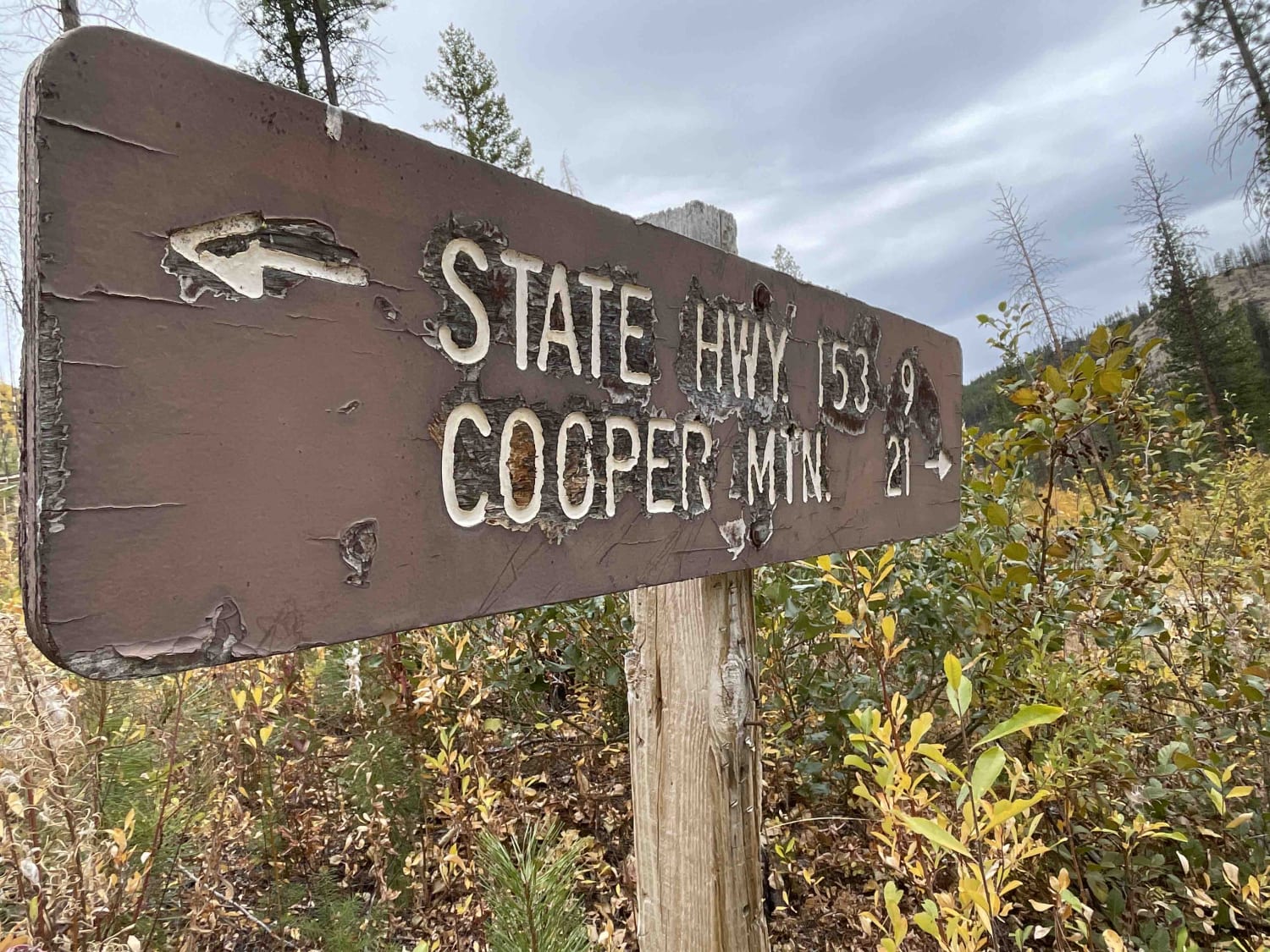
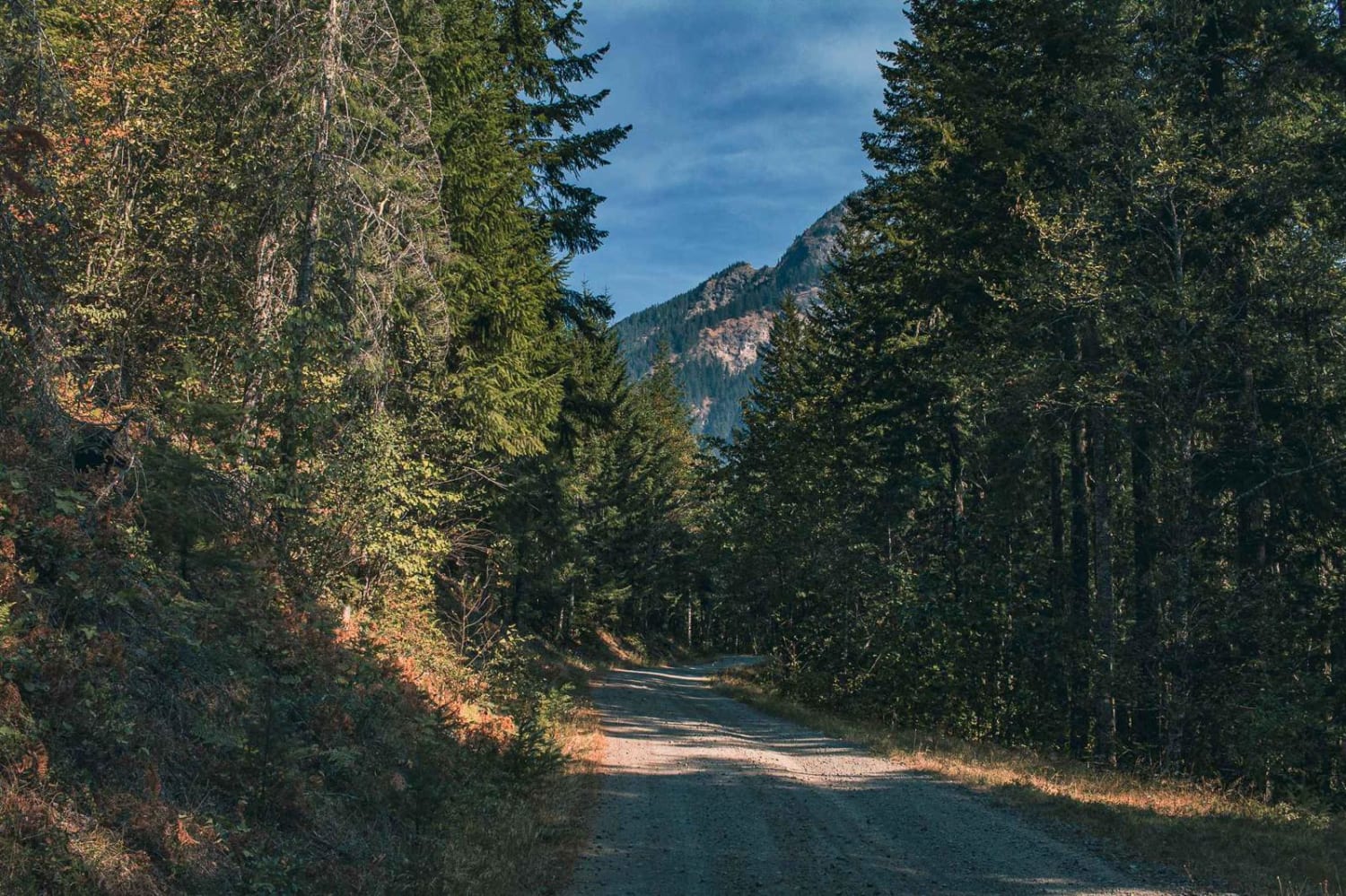
The Hungry Mountain Trail begins 1 mile west of the Methow River, where Gold Creek Road meets Forest Service Road 4330/South Fork Gold Creek. The easy-going route is made up of gravel, crushed granite, and some slightly sandy stretches and travels through communities and National Forest Service land with additional opportunities to explore tracks leading to Lake Chelan. Ultimately, following this path in a semi-circle around Hungry Mountain will open the curtain to breathtaking grasslands and deposit you 3 miles downriver from where you began. One could close this loop and return to the starting point by traveling north on highway-153.The initial 2.3 miles traverses Buckhorn Canyon and its adjacent community of approximately 35 parcels ranging between 3 and 70 acres each. Traveling along the nondescript tree-shaded road, one can catch glimpses of the South Fork of Gold Creek running parallel in the canyon below. This stretch is abutted by the Okanogan National Forest and Washington State Department of Natural Resources lands.With private property left behind, the view begins to open, and South Fork Ridge can be seen to the west. At the 3.6-mile mark, there's an opportunity for a short 2-mile detour via Rainy Creek Road 43301, which will bring you back to the main road in advance of the upcoming junction. Throughout this area is evidence of the 2015 Chelan Complex fire, where stands of burnt snags scar the landscape. The 5.3-mile marker presents a major junction. For this route, you will want to turn left and follow the arrow that points east, guiding travelers 9 miles towards highway 153. Going right would mark the beginning of a 21-mile adventure to Cooper Mountain and beyond in the direction of the neighboring lake-front towns of Manson and Chelan, where one can access amenities including gas, groceries, lodging, and dining.Turn left onto FS-200. Be aware of the potential for crevasses where small sections of the road may be washed-out. As you make your way up the hill, you will see the horizon line to the east. Continue upward following the zig-zagging turns of the road. At 6.5 miles and just under 3,400 feet elevation, you will reach both the mid-point and high-point of the journey. Directly to the north is Hungry Mountain; to the south is Hungry Ridge.Your descent will push you southeast with a vantage point of the upcoming hairpin turn, where you will abruptly head north. At this point, the narrowing road follows McFarland Creek. For the next 2 miles, you may notice the activation of feel-good neurotransmitters and facial muscles moving the corners of your mouth up and outward as you maneuver over a few short whoop-de-dos. At 9.3 miles, you approach a gate signaling that you are leaving the Okanogan National Forest.Emerging beyond the canopy of pine trees is an unexpectedly wide valley embracing private ranch lands made up of 4 parcels ranging from 400 - 500 acres each. Stick to the main road and enjoy the ever-shifting lighting, beautiful colors, open spaces, and impressive barns. NF-200 turns into McFarland Creek Road and passes Vinegar Gulch on your left.In the final mile, as the road turns decidedly east and the area is denser with smaller farms, look down into the tiny valley and see if you can spot the 4-legged residents of the McFarland Creek Lamb Ranch. When the road transitions from gravel to pavement and you approach the bottom of the hill, the Methow River will welcome your return.
Photos of Hungry Mountain

Difficulty
3) Easy Uneven, rutted dirt trail with potential for loose rocks and sandy washes. Water crossings less than a foot deep. Potential for mud holes and trail obstacles up to 12", including ledges and short, steep grades. Roads are typically one vehicle wide with places to pass.
Status Reports
Hungry Mountain can be accessed by the following ride types:
- High-Clearance 4x4
- SUV
- SxS (60")
- ATV (50")
- Dirt Bike
Hungry Mountain Map
Popular Trails
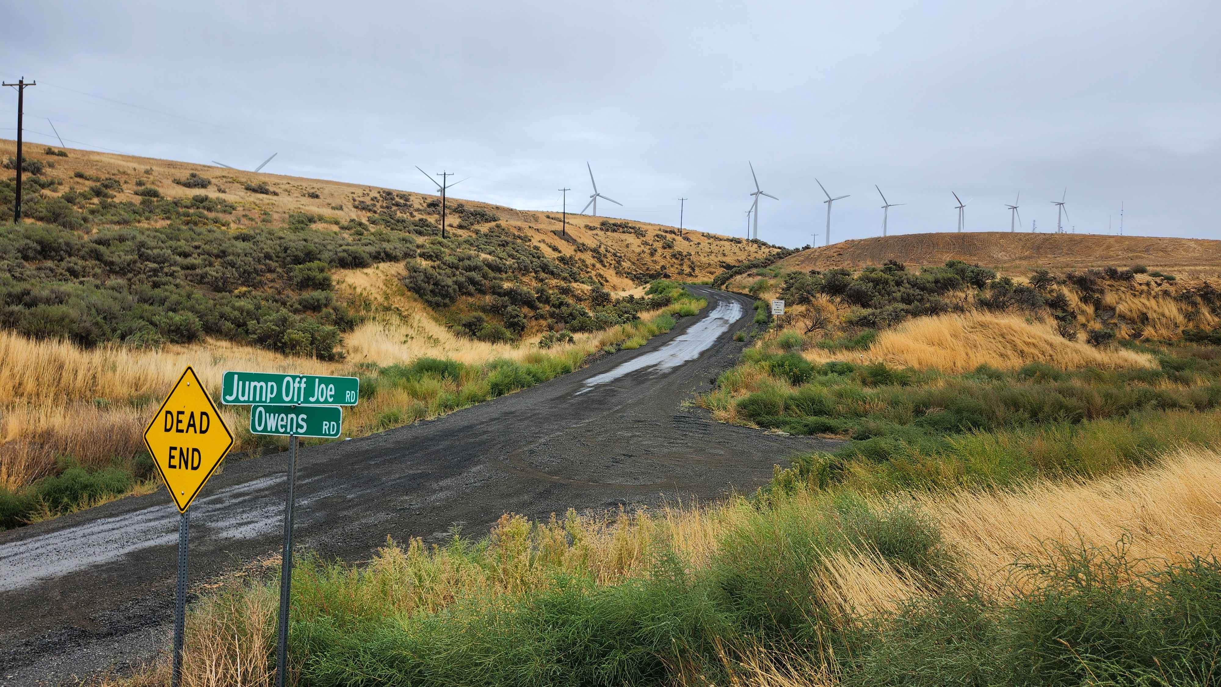
Jump Off Joe - South
Butter Creek

Dan's Creek - FS 24

The onX Offroad Difference
onX Offroad combines trail photos, descriptions, difficulty ratings, width restrictions, seasonality, and more in a user-friendly interface. Available on all devices, with offline access and full compatibility with CarPlay and Android Auto. Discover what you’re missing today!