Iron Creek - Blewett Tie - NF9714-113
Total Miles
2.7
Technical Rating
Best Time
Summer, Fall
Trail Type
Full-Width Road
Accessible By
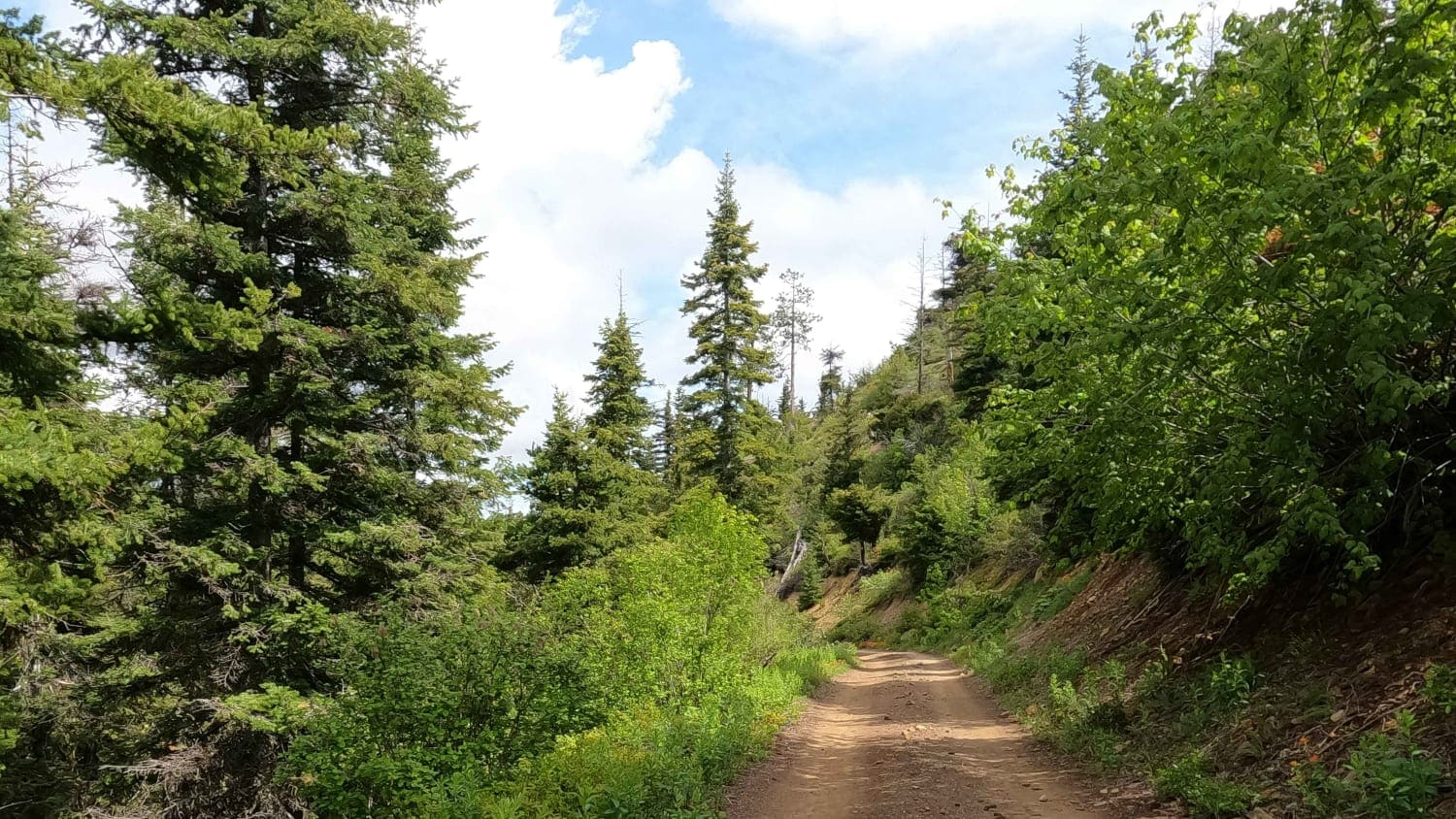
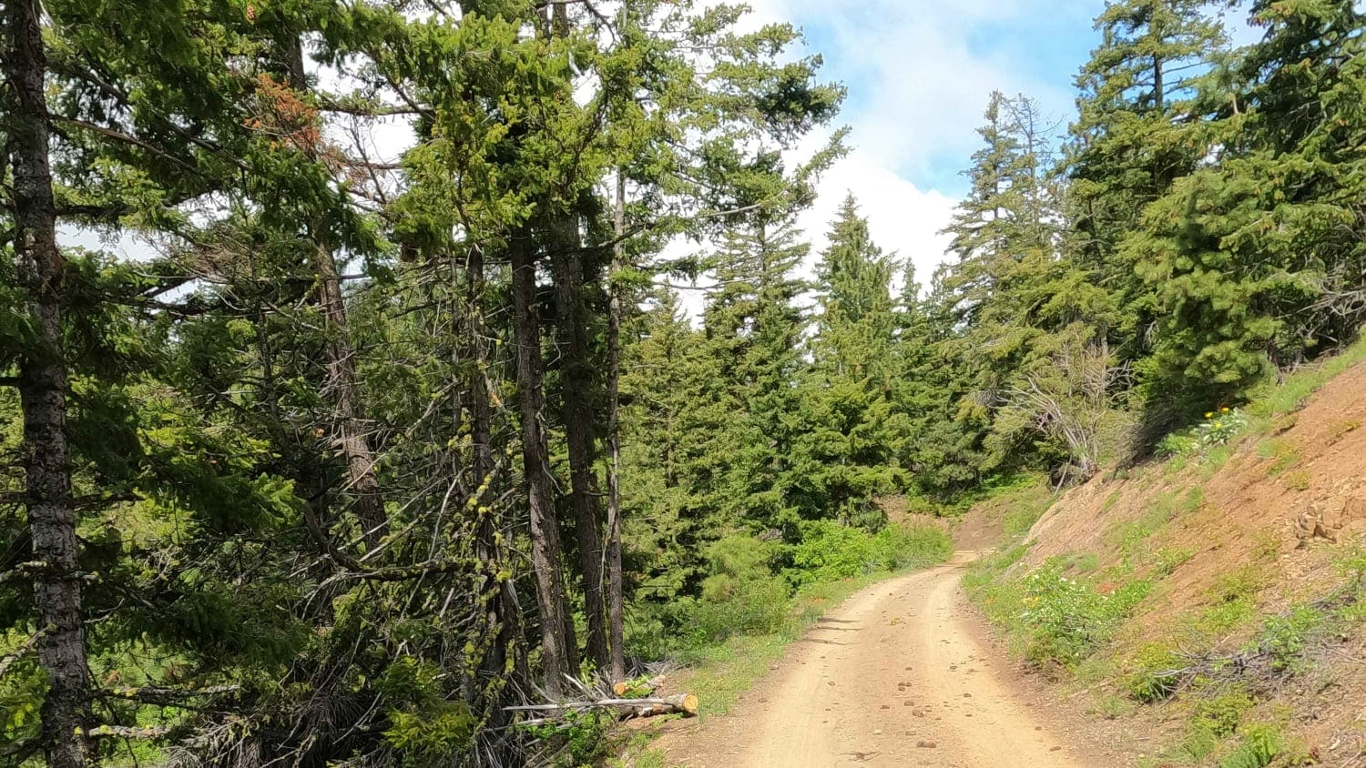
Trail Overview
This is a roughly 3-mile gravel Forest Service Road connecting Iron Creek Road to Old Blewett Pass (a tight one-lane paved road) in the Wenatchee National Forest on the Eastern flank of the Enchantments Mountains. This road is often snowbound until early June. This area is littered with private mining claims.
Photos of Iron Creek - Blewett Tie - NF9714-113
Difficulty
easy gravel road
Status Reports
Iron Creek - Blewett Tie - NF9714-113 can be accessed by the following ride types:
- High-Clearance 4x4
- SUV
Iron Creek - Blewett Tie - NF9714-113 Map
Popular Trails

Tahuya -Trail 55

Upper Mill Creek Road
Fritz Creek - FS 2000-400
Berry Creek
The onX Offroad Difference
onX Offroad combines trail photos, descriptions, difficulty ratings, width restrictions, seasonality, and more in a user-friendly interface. Available on all devices, with offline access and full compatibility with CarPlay and Android Auto. Discover what you’re missing today!