Off-Road Trails in Washington
Discover off-road trails in Washington
Learn more about Echo Lake Road - NF 7220
Echo Lake Road - NF 7220
Total Miles
8.7
Tech Rating
Easy
Best Time
Spring, Summer, Fall
Learn more about Elbe Hills Boat Ramp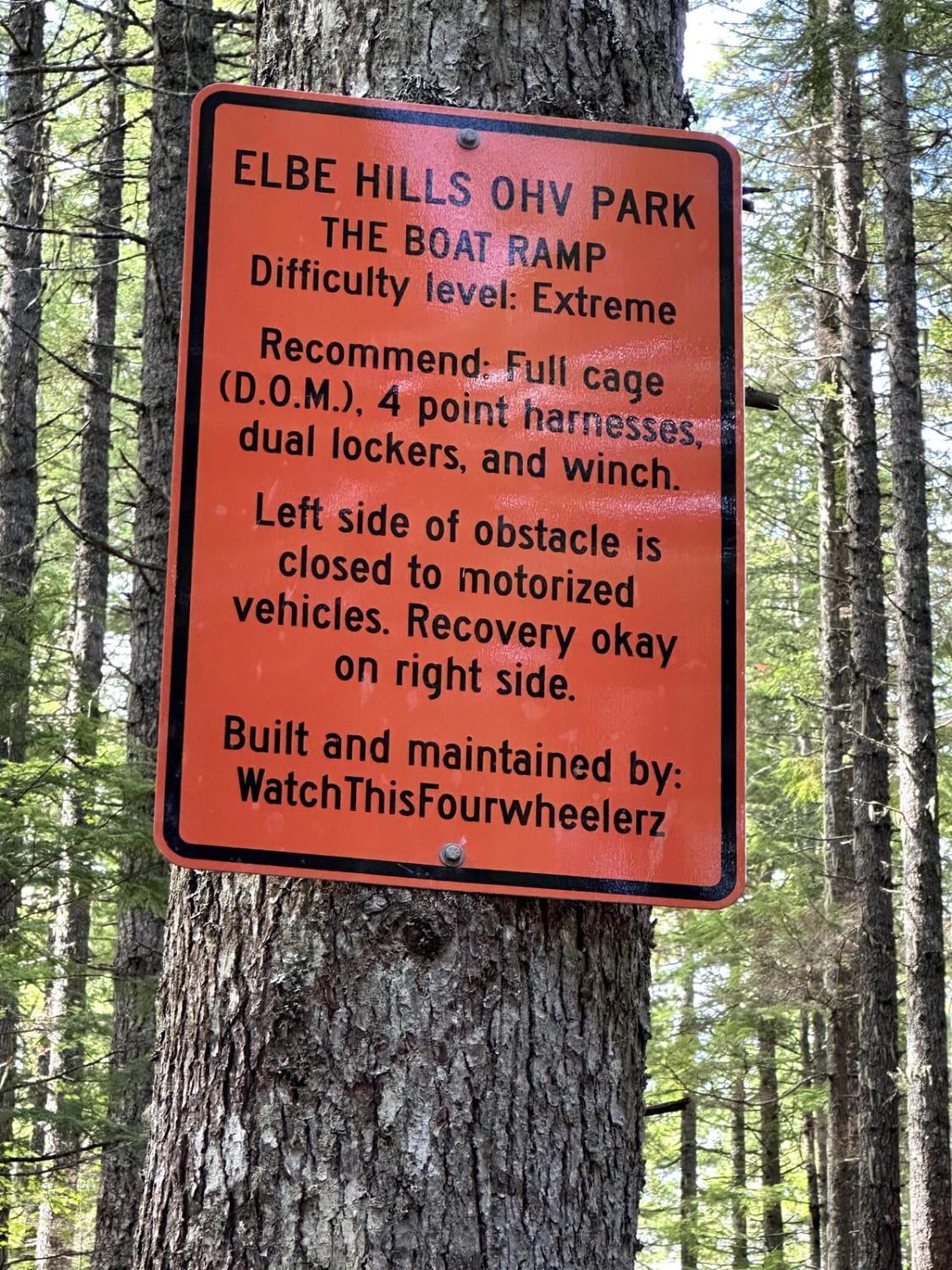
Elbe Hills Boat Ramp
Total Miles
0.1
Tech Rating
Difficult
Best Time
Spring, Summer, Fall
Learn more about Electric Hills - FS 6512105
Electric Hills - FS 6512105
Total Miles
3.8
Tech Rating
Easy
Best Time
Spring, Summer, Fall
Learn more about Entiat Ridge Trail
Entiat Ridge Trail
Total Miles
14.2
Tech Rating
Easy
Best Time
Summer, Fall
Learn more about Evans Creek Campground/Trailhead
Evans Creek Campground/Trailhead
Total Miles
8.0
Tech Rating
Easy
Best Time
Spring, Summer, Fall, Winter
Learn more about Evans Lake & Black Rock Lake
Evans Lake & Black Rock Lake
Total Miles
3.0
Tech Rating
Easy
Best Time
Summer, Fall
Learn more about Evergreen Mountain
Evergreen Mountain
Total Miles
9.6
Tech Rating
Easy
Best Time
Spring, Summer, Fall
Learn more about Expressway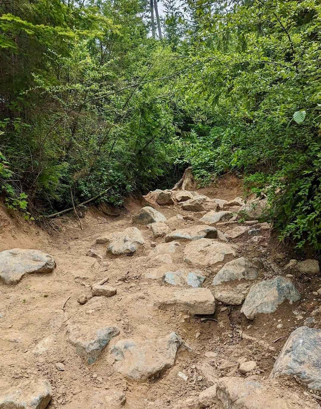
Expressway
Total Miles
0.5
Tech Rating
Moderate
Best Time
Spring, Summer, Fall, Winter
Learn more about EZ Valley Connector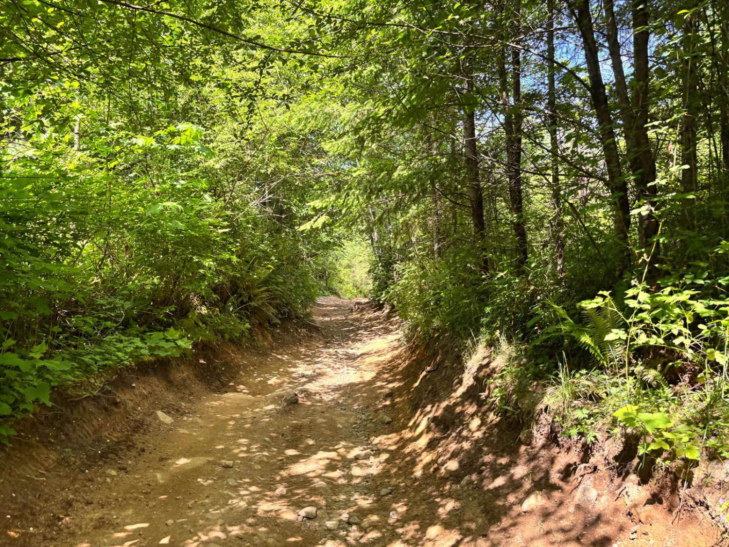
EZ Valley Connector
Total Miles
0.4
Tech Rating
Easy
Best Time
Spring, Summer, Winter, Fall

Learn more about Finney-Cumberland Road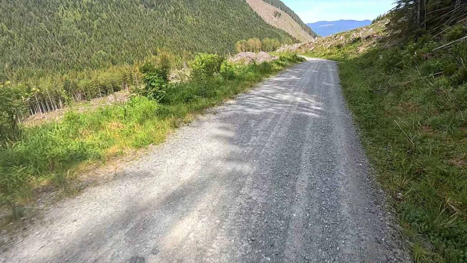
Finney-Cumberland Road
Total Miles
25.6
Tech Rating
Easy
Best Time
Summer, Fall


Learn more about Flagg Mountain Loop - FS 5225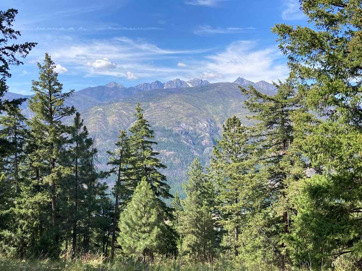
Flagg Mountain Loop - FS 5225
Total Miles
5.9
Tech Rating
Easy
Best Time
Spring, Fall, Winter, Summer
Learn more about Forest Crossing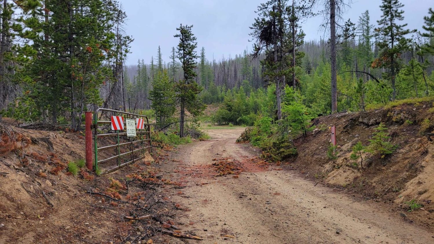
Forest Crossing
Total Miles
1.3
Tech Rating
Moderate
Best Time
Summer, Fall
Learn more about Forest Lake Rd 7222
Forest Lake Rd 7222
Total Miles
6.8
Tech Rating
Easy
Best Time
Spring, Summer, Fall
Learn more about Forest Rd 5400000
Forest Rd 5400000
Total Miles
5.9
Tech Rating
Moderate
Best Time
Spring, Summer, Fall
Learn more about Forest Road 5300000
Forest Road 5300000
Total Miles
6.9
Tech Rating
Easy
Best Time
Spring, Summer, Fall
Learn more about Forest Road 4235-100
Forest Road 4235-100
Total Miles
7.2
Tech Rating
Easy
Best Time
Summer, Fall
Learn more about Fortune Creek 4WD Trail - NF301 - Lower Section
Fortune Creek 4WD Trail - NF301 - Lower Section
Total Miles
3.1
Tech Rating
Moderate
Best Time
Summer, Fall
ATV trails in Washington


Learn more about 4104504 - Deep Woods Adventure
4104504 - Deep Woods Adventure
Total Miles
5.8
Tech Rating
Moderate
Best Time
Spring, Summer, Fall
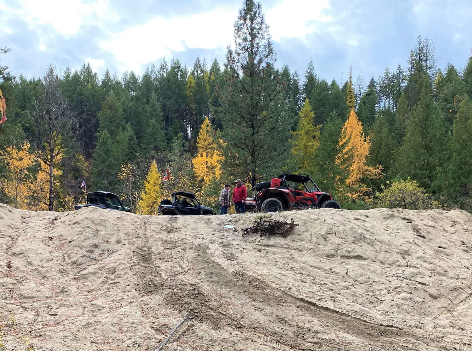
UTV/side-by-side trails in Washington
Learn more about 4104504 - Deep Woods Adventure
4104504 - Deep Woods Adventure
Total Miles
5.8
Tech Rating
Moderate
Best Time
Spring, Summer, Fall
The onX Offroad Difference
onX Offroad combines trail photos, descriptions, difficulty ratings, width restrictions, seasonality, and more in a user-friendly interface. Available on all devices, with offline access and full compatibility with CarPlay and Android Auto. Discover what you’re missing today!