Flagg Mountain Loop - FS 5225
Total Miles
5.9
Technical Rating
Best Time
Spring, Fall, Winter, Summer
Trail Type
Full-Width Road
Accessible By
Trail Overview
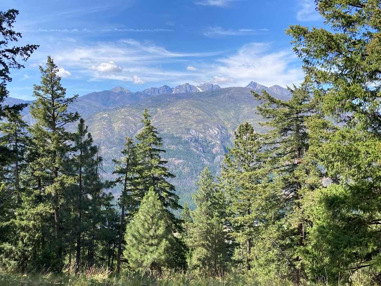
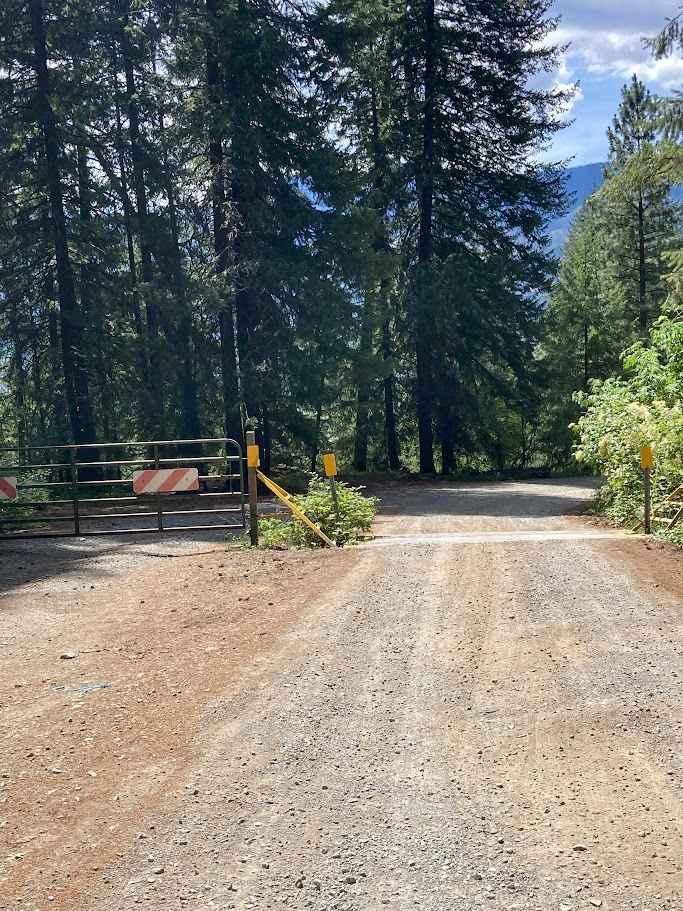
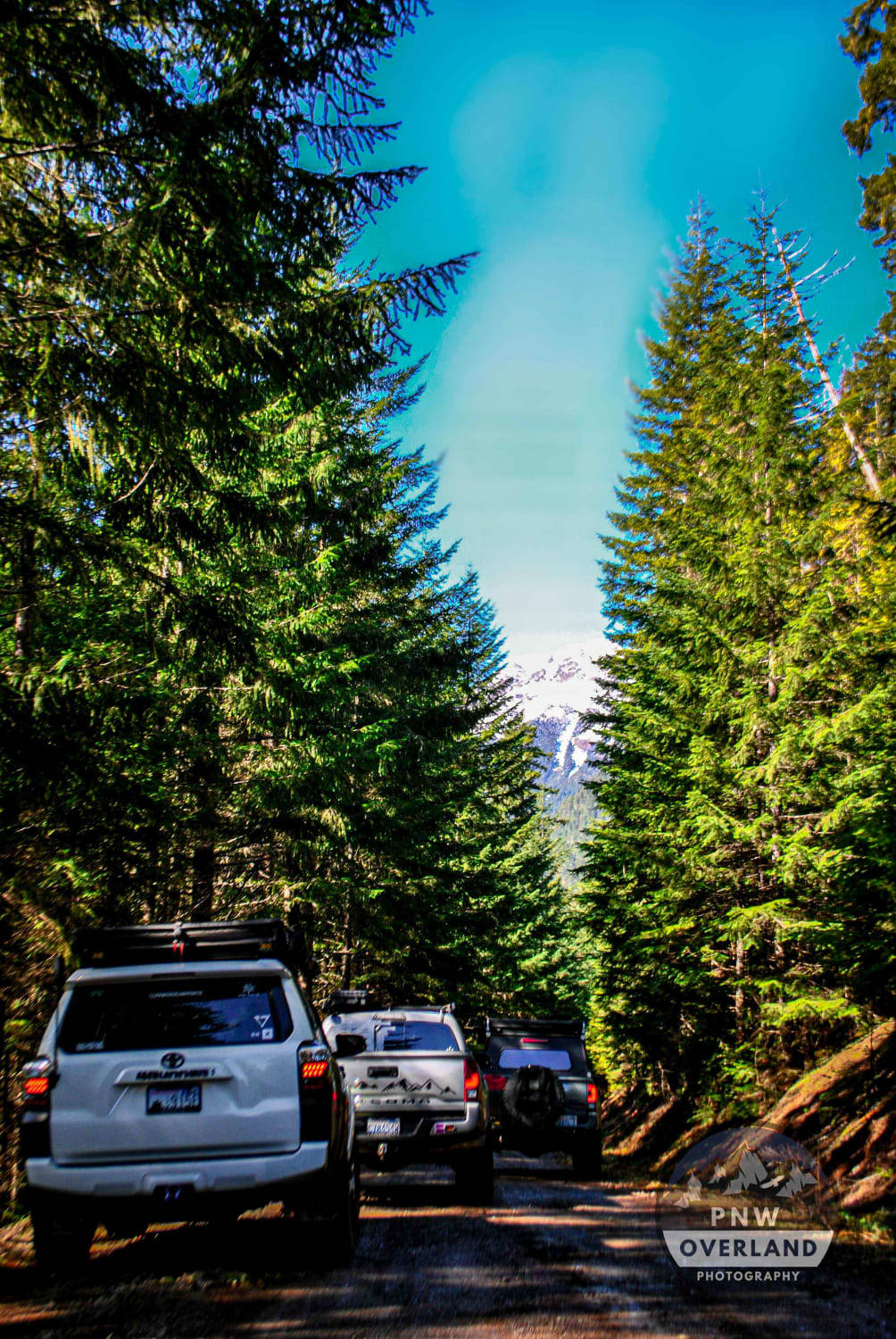
Forest Service Road 5225 offers a scenic, easy off-road drive through the central Washington backcountry. The main road is a well-maintained dirt and gravel surface, suitable for most high-clearance vehicles, and winds through a mix of pine forest and open ridgelines. You'll enjoy sweeping views of the surrounding hills and valleys, especially near the higher elevations. Lower elevations of 5225 are heavily washboarded. For drivers looking for more of a challenge, the Flag Mountain Loop branches off from 5225 and ups the difficulty. This section includes tighter turns, uneven terrain, and steeper inclines with loose rock, making it best suited for 4x4 vehicles with off-road tires and experienced drivers. The reward for tackling the loop is access to panoramic viewpoints from Flagg Mountain, where you can spot nearby peaks and possibly wildlife. Dispersed camping is readily available along both FSR 5225 and the Flagg Mountain Loop, with numerous flat pull-outs and clearings perfect for setting up camp. Many of these spots are tucked into the trees or offer views across the valley, making them ideal for a quiet overnight stay or a weekend basecamp for exploring the area further.FSR 5225 and the Flagg Mountain Loop together make for a fun mix of leisurely driving and technical terrain, perfect for a day of exploring or an off-grid camping adventure.
Photos of Flagg Mountain Loop - FS 5225
Difficulty
The trail is easy at the bottom; however, the Fragg Mountain Loop is more overgrown, off-camber, and has some washouts, small ledges.
History
The area surrounding Forest Service Road 5225 and Flagg Mountain in central Washington lies within the Wenatchee National Forest, an expanse rich in both natural beauty and history. The trails and roads here, including FSR 5225 and its offshoots like Flagg Mountain Loop, were primarily created by the U.S. Forest Service for timber access, fire management, and land stewardship in the early to mid-20th century. Many of the forest service roads in this region, including FSR 5225, were built to support logging operations that peaked between the 1930s and 1970s. These roads allowed logging trucks to access the dense stands of Ponderosa pine, Douglas fir, and other commercially valuable timber. They were also crucial for fire crews needing rapid access to remote areas during wildfire season. Flagg Mountain, named after early homesteaders or surveyors in the region (likely with the surname Flagg), became a known high point for lookout activity. While there's no longer a fire lookout on the summit, the loop trail that now bears its name likely originated from a combination of firebreaks, access routes to lookout points, and former logging spurs. As logging declined and land management priorities shifted, these roads transitioned to recreational use. The U.S. Forest Service maintains many of them today for off-highway vehicle (OHV) access, dispersed camping, hunting, and hiking. This area's rugged topography and relatively low visitor traffic make it a great destination for off-road enthusiasts seeking a blend of solitude and adventure. Today, these trails continue to serve as a vital link between the region's working land history and its modern role as a public playground for backcountry exploration.
Status Reports
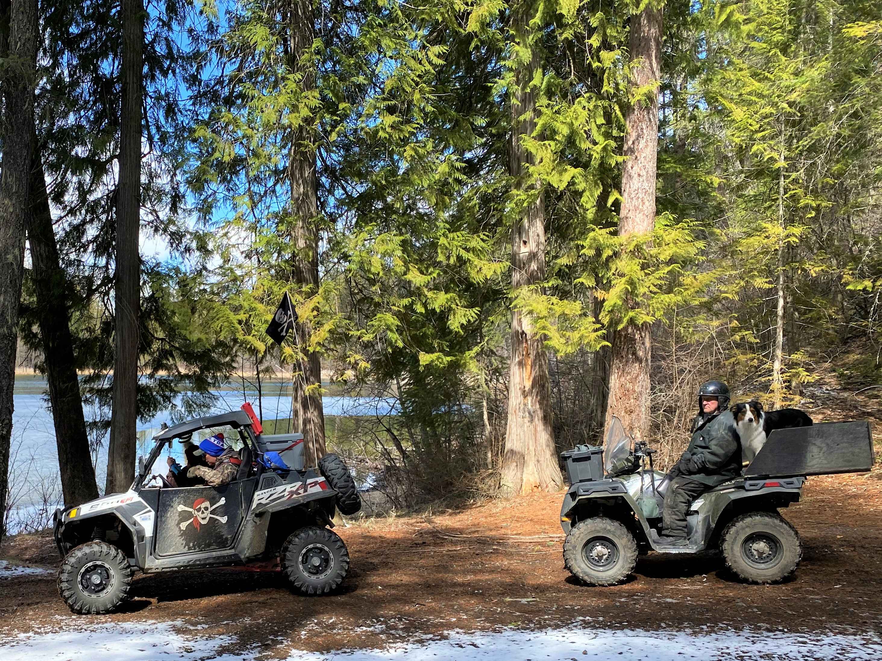
Flagg Mountain Loop - FS 5225 can be accessed by the following ride types:
- High-Clearance 4x4
- SUV
- SxS (60")
- ATV (50")
- Dirt Bike
Flagg Mountain Loop - FS 5225 Map
Popular Trails

Stahl Mountain Trail

Corral Pass Climb
Upper Big Quilcene Trail
The onX Offroad Difference
onX Offroad combines trail photos, descriptions, difficulty ratings, width restrictions, seasonality, and more in a user-friendly interface. Available on all devices, with offline access and full compatibility with CarPlay and Android Auto. Discover what you’re missing today!