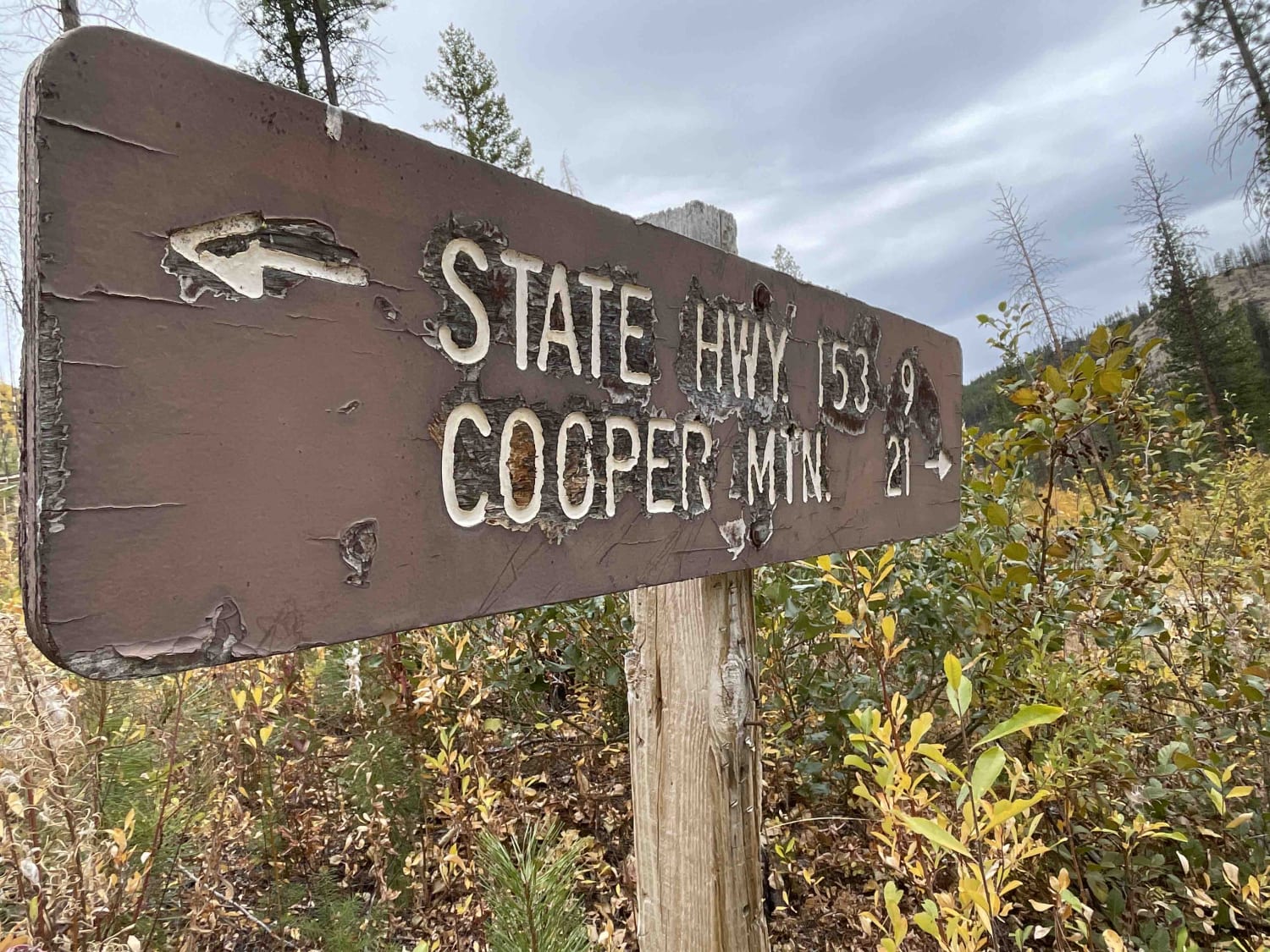
Slippery Creek Road
Total Miles
6.9
Technical Rating
Best Time
Spring, Summer, Fall
Trail Type
Full-Width Road
Accessible By
Trail Overview
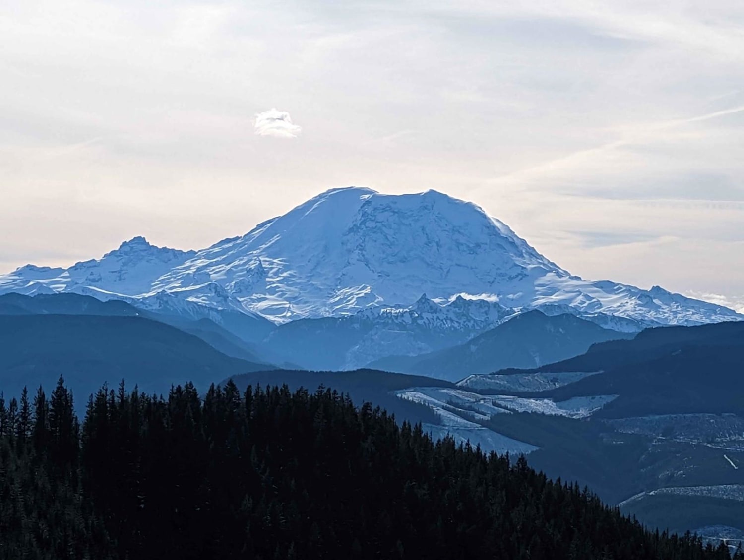
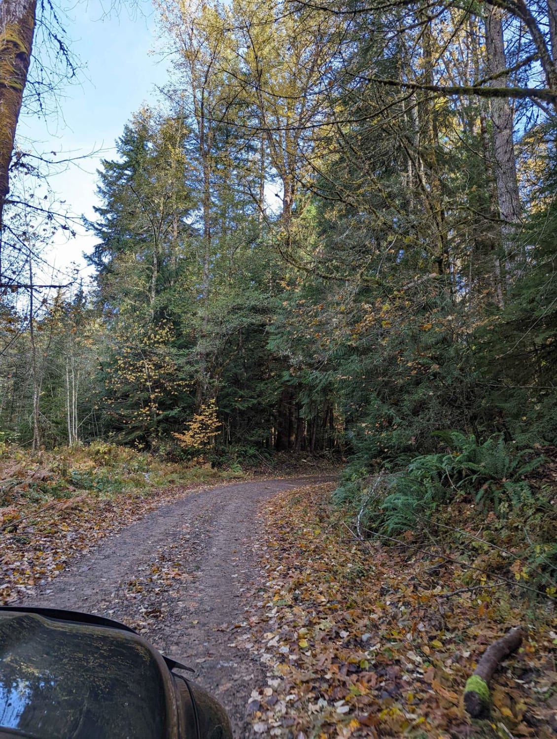
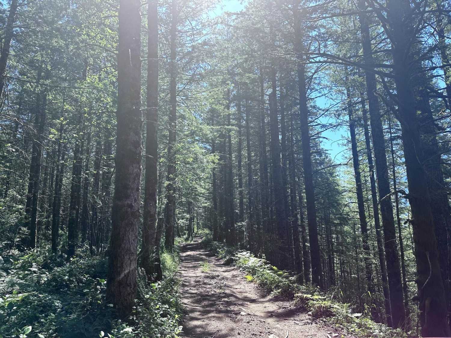
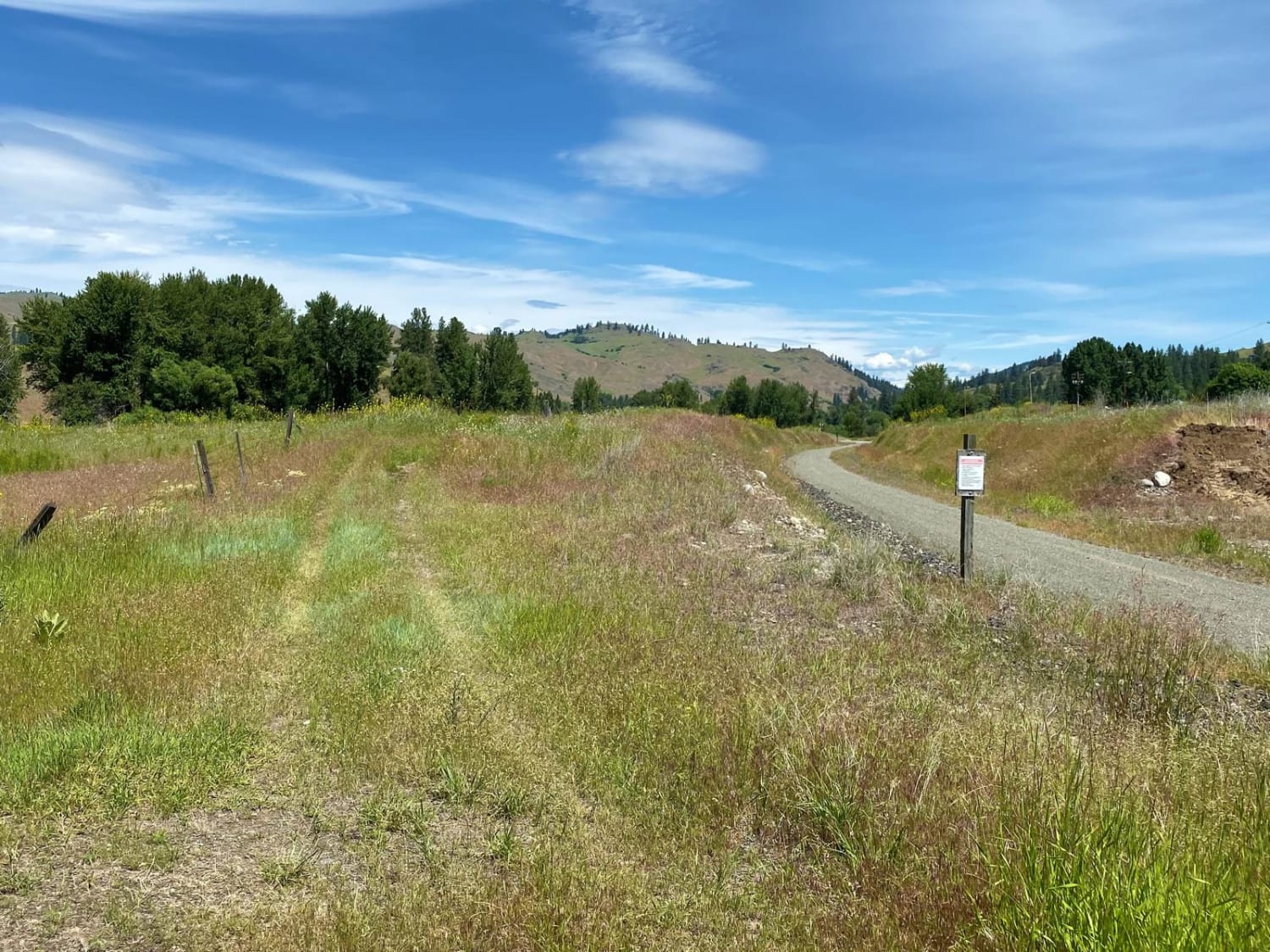
This is a primitive dead-end logging road. There are a few pull-offs for day camping and quite a few spectacular views of Mount Rainier. Where the road dead-ends, it is dug out, so could be accessible by vehicles that have clearance or by ATVs/dirt bikes. The Grass Mountain hiking trail also crosses over where it dead-ends. When you first start on this road, the land around is owned by the Muckleshoot Tribe, so you cannot venture off the road. The land eventually turns into DNR land towards the top. There are about 3 washout areas that are dirt and large rocks, so be cautious in those areas. There are plenty of great views of Mount Rainier, and most of them have pull-out areas that would be great for photography and having a picnic! Once you are close to the top, the road will narrow and the brush and trees are very overgrown. Once you get to the end, it is wide and open and easy to turn around.
Photos of Slippery Creek Road
Difficulty
This is a logging road that has gone without maintenance, and there are washouts and ruts in areas, along with a slide that you have to navigate around.
Status Reports
Slippery Creek Road can be accessed by the following ride types:
- High-Clearance 4x4
- SUV
- SxS (60")
- ATV (50")
- Dirt Bike
Slippery Creek Road Map
Popular Trails
Hungry Mountain
Wandering View

The onX Offroad Difference
onX Offroad combines trail photos, descriptions, difficulty ratings, width restrictions, seasonality, and more in a user-friendly interface. Available on all devices, with offline access and full compatibility with CarPlay and Android Auto. Discover what you’re missing today!