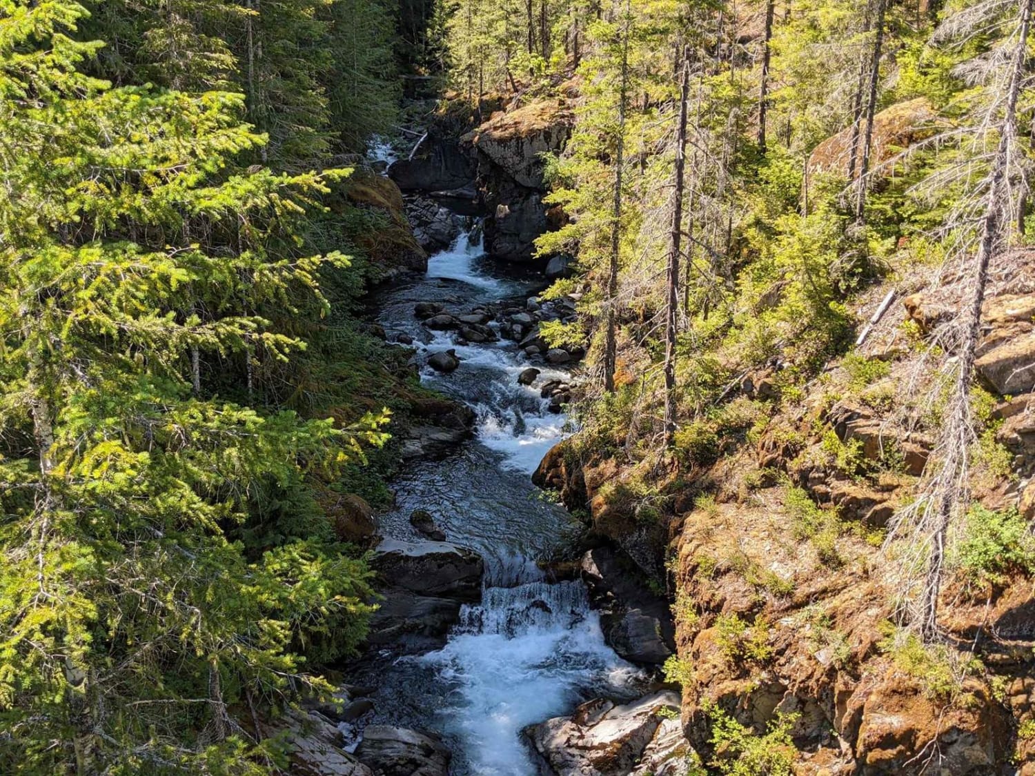
Off-Road Trails in Washington
Discover off-road trails in Washington
Learn more about Goon - FS 8122161
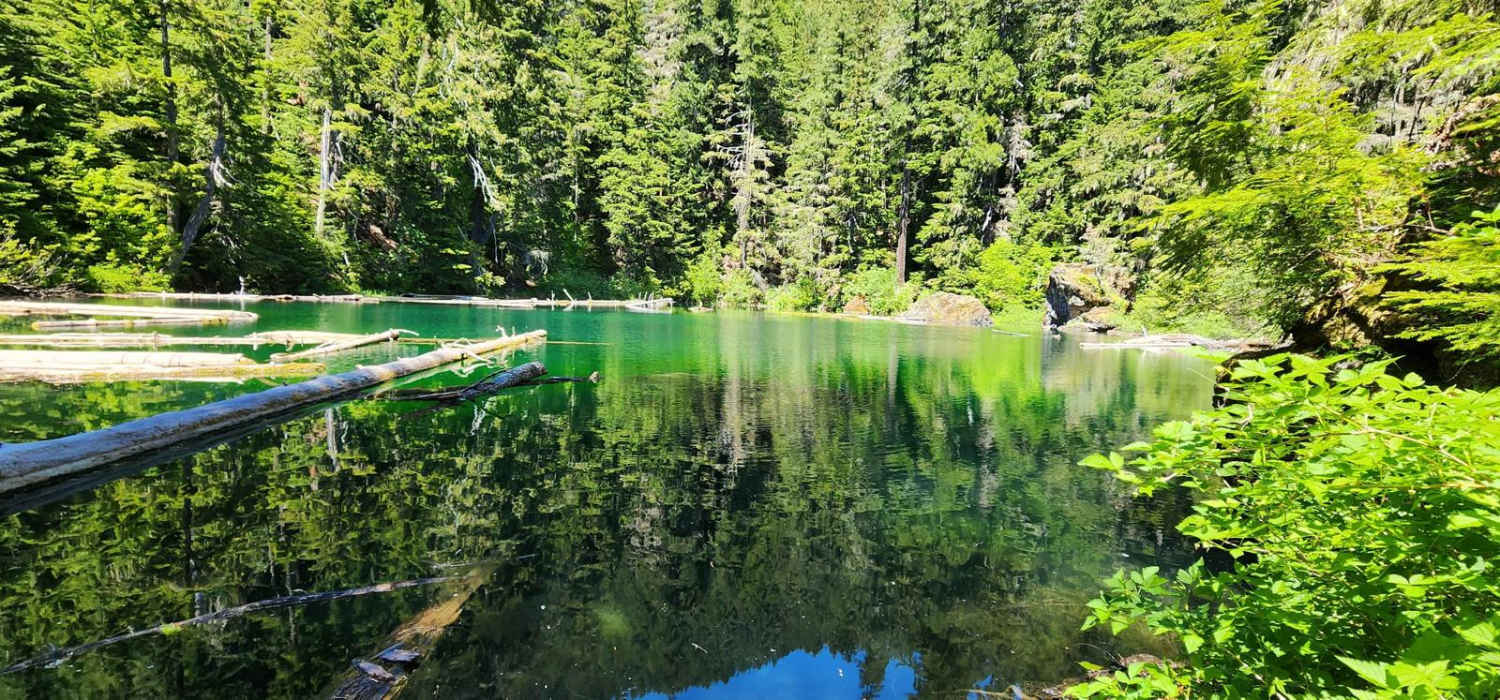
Goon - FS 8122161
Total Miles
0.7
Tech Rating
Easy
Best Time
Spring, Summer, Fall
Learn more about Graves Creek Camp Trail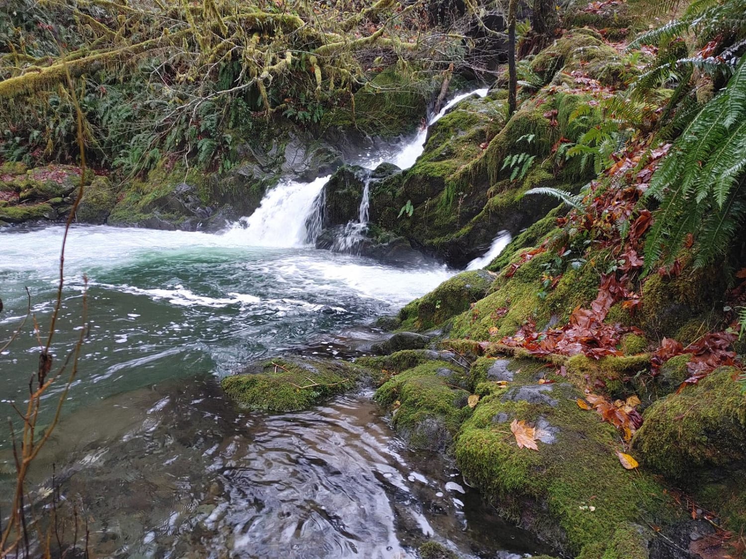
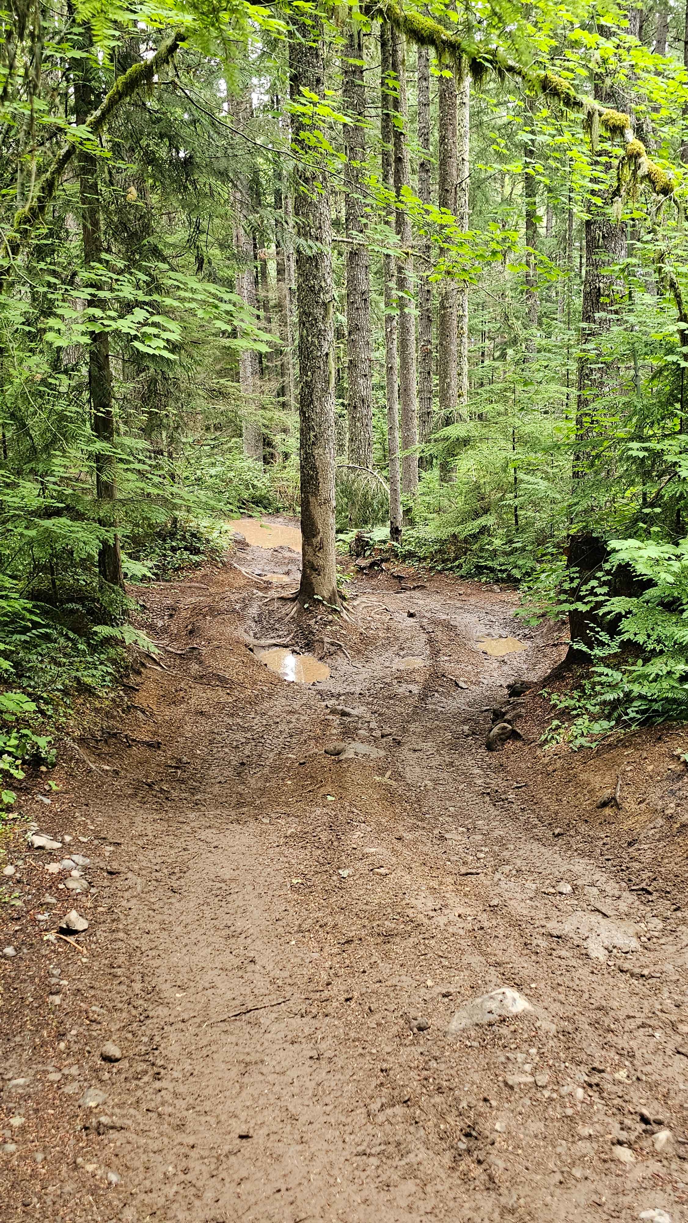
Graves Creek Camp Trail
Total Miles
5.7
Tech Rating
Easy
Best Time
Summer
Learn more about Graves Mountain Road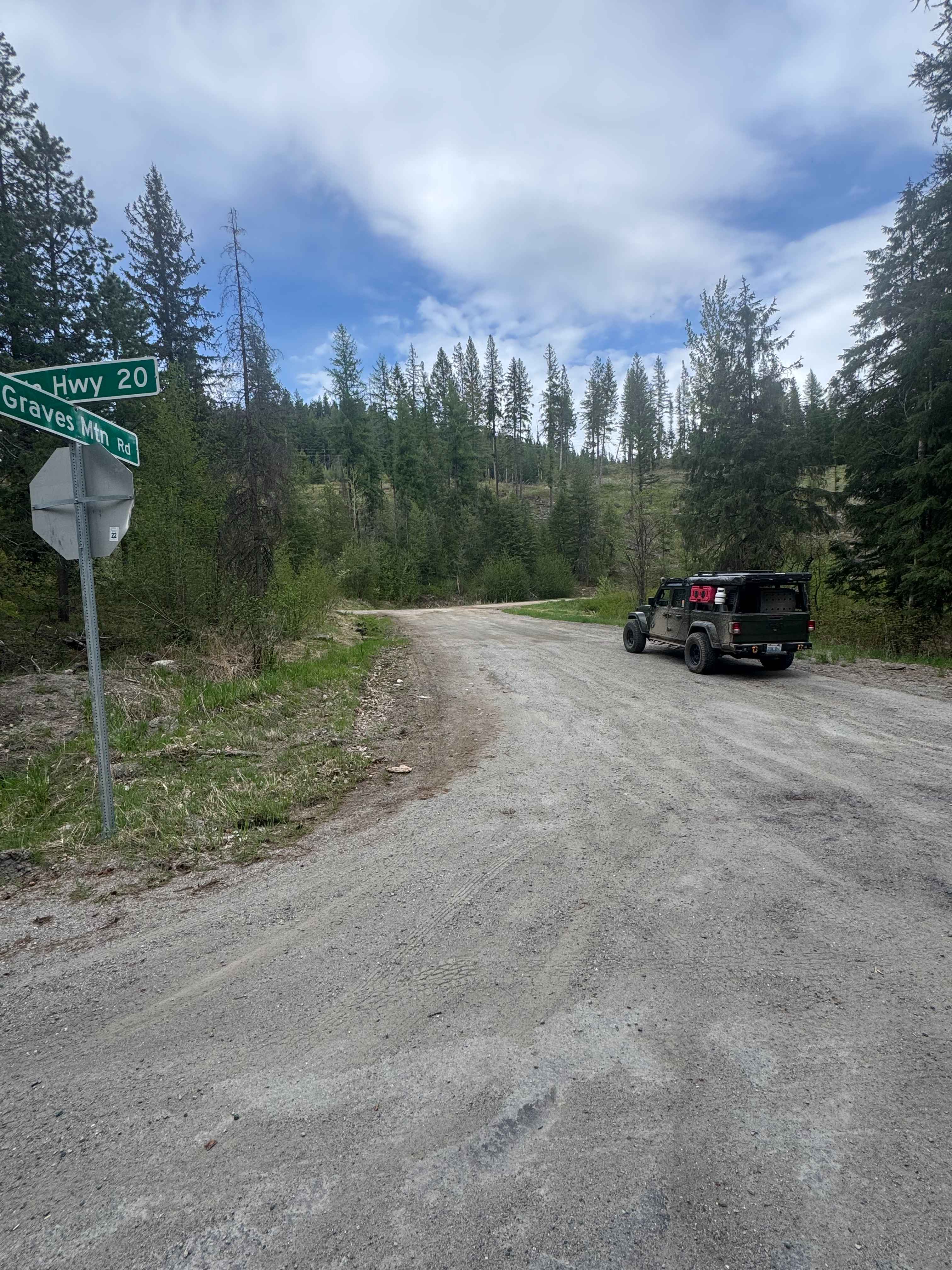
Graves Mountain Road
Total Miles
4.9
Tech Rating
Moderate
Best Time
Spring, Summer, Fall
Learn more about Green cabin road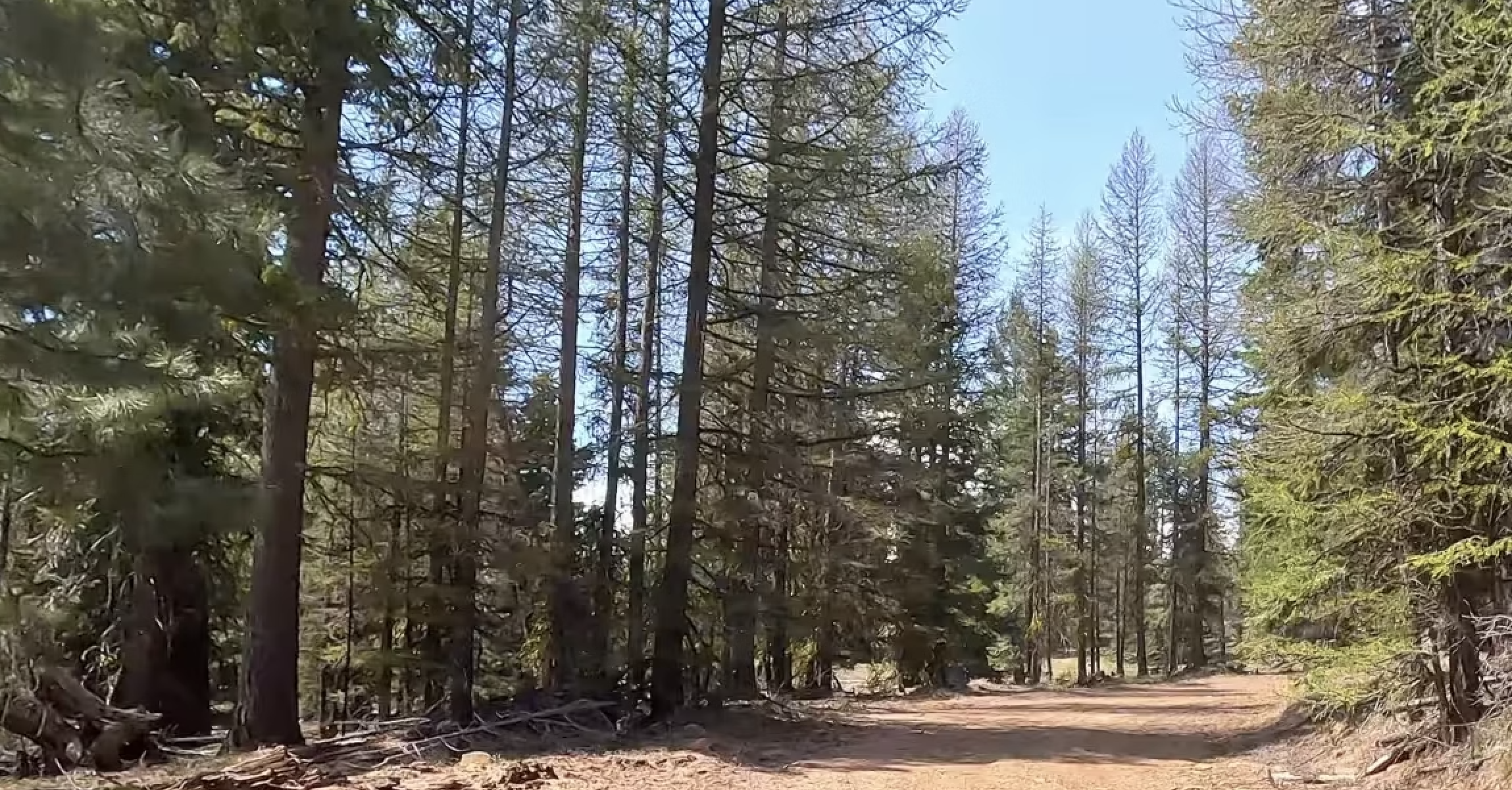
Green cabin road
Total Miles
1.0
Tech Rating
Easy
Best Time
Spring, Summer
Learn more about Green Canyon Loop (Trails 116,110,270,265)
Green Canyon Loop (Trails 116,110,270,265)
Total Miles
15.7
Tech Rating
Difficult
Best Time
Summer, Fall
Learn more about Green Gate Access - Bitterroot Road
Green Gate Access - Bitterroot Road
Total Miles
1.7
Tech Rating
Easy
Best Time
Spring, Summer, Fall
Learn more about Green Gate Access - East Road
Green Gate Access - East Road
Total Miles
3.2
Tech Rating
Easy
Best Time
Spring, Summer, Fall, Winter
Learn more about Green Gate Access - North Road
Green Gate Access - North Road
Total Miles
1.7
Tech Rating
Easy
Best Time
Spring, Summer, Fall
Learn more about Green Gate Access - South Road
Green Gate Access - South Road
Total Miles
2.3
Tech Rating
Easy
Best Time
Spring, Summer, Fall
Learn more about Green Gate Access - West Road
Green Gate Access - West Road
Total Miles
2.9
Tech Rating
Easy
Best Time
Spring, Summer, Fall
Learn more about Green Mountain Road/NF-011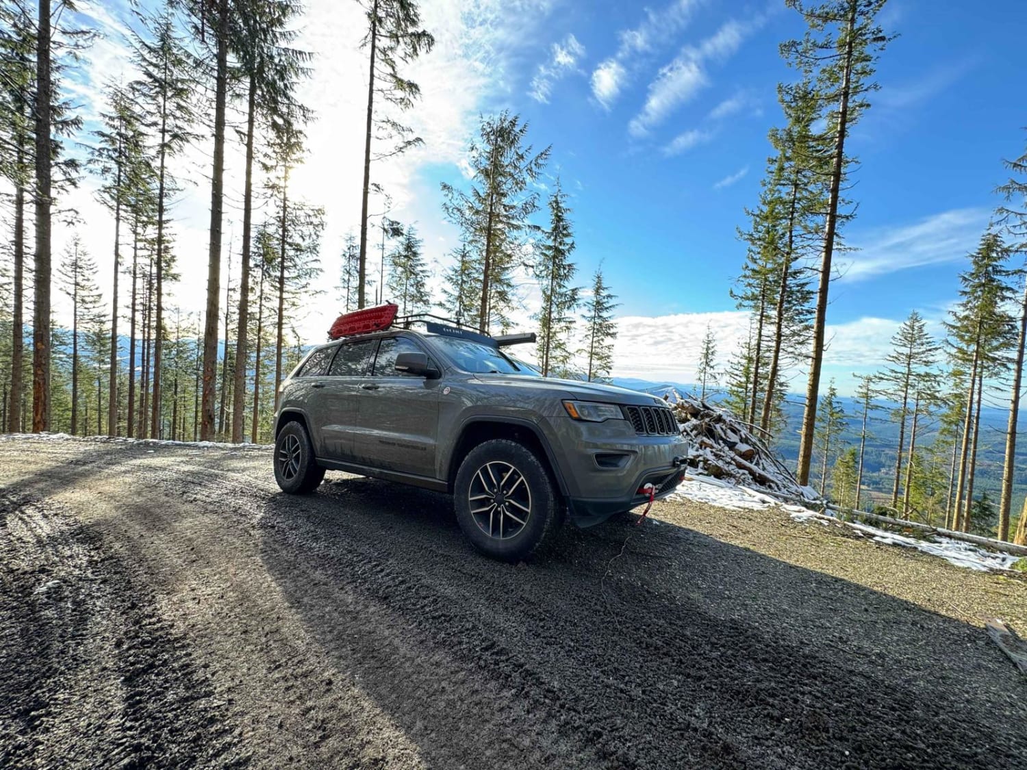
Green Mountain Road/NF-011
Total Miles
5.9
Tech Rating
Easy
Best Time
Winter, Summer
Learn more about Greenhorn Creek Road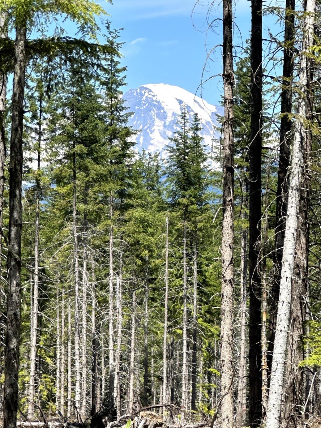
Greenhorn Creek Road
Total Miles
14.9
Tech Rating
Easy
Best Time
Spring, Summer, Fall
Learn more about Greenwater/Naches Trail
Greenwater/Naches Trail
Total Miles
7.4
Tech Rating
Easy
Best Time
Summer
Learn more about Guard Station - 4W324
Guard Station - 4W324
Total Miles
3.8
Tech Rating
Difficult
Best Time
Spring, Summer, Fall
Learn more about Gumboot Mountain Trail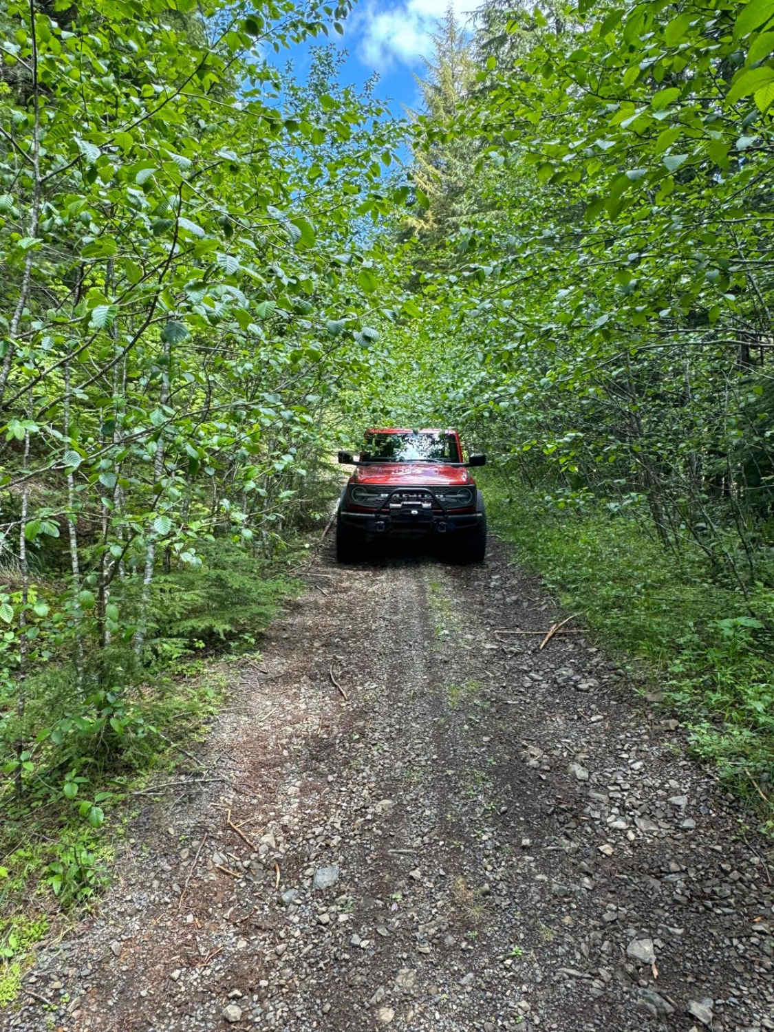
Gumboot Mountain Trail
Total Miles
8.8
Tech Rating
Moderate
Best Time
Spring, Summer, Fall
Learn more about Hager Lake to Packwood Lake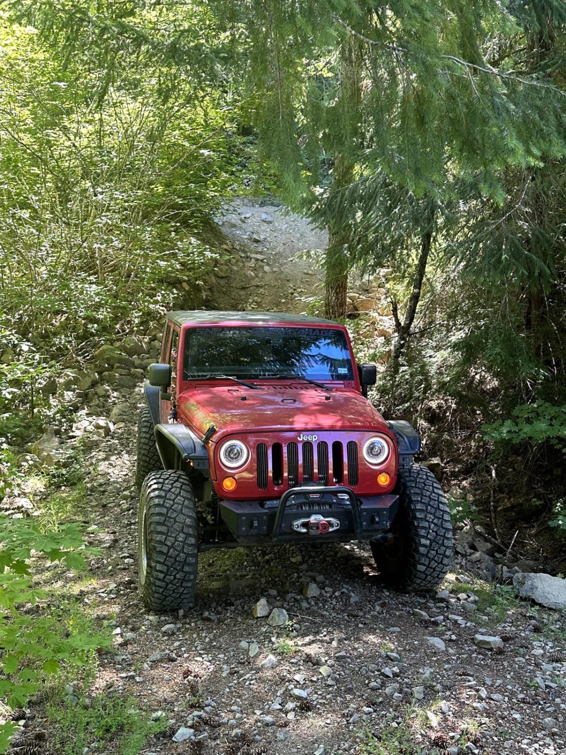
Hager Lake to Packwood Lake
Total Miles
8.9
Tech Rating
Moderate
Best Time
Spring, Summer, Fall
ATV trails in Washington


Learn more about 4104504 - Deep Woods Adventure
4104504 - Deep Woods Adventure
Total Miles
5.8
Tech Rating
Moderate
Best Time
Spring, Summer, Fall
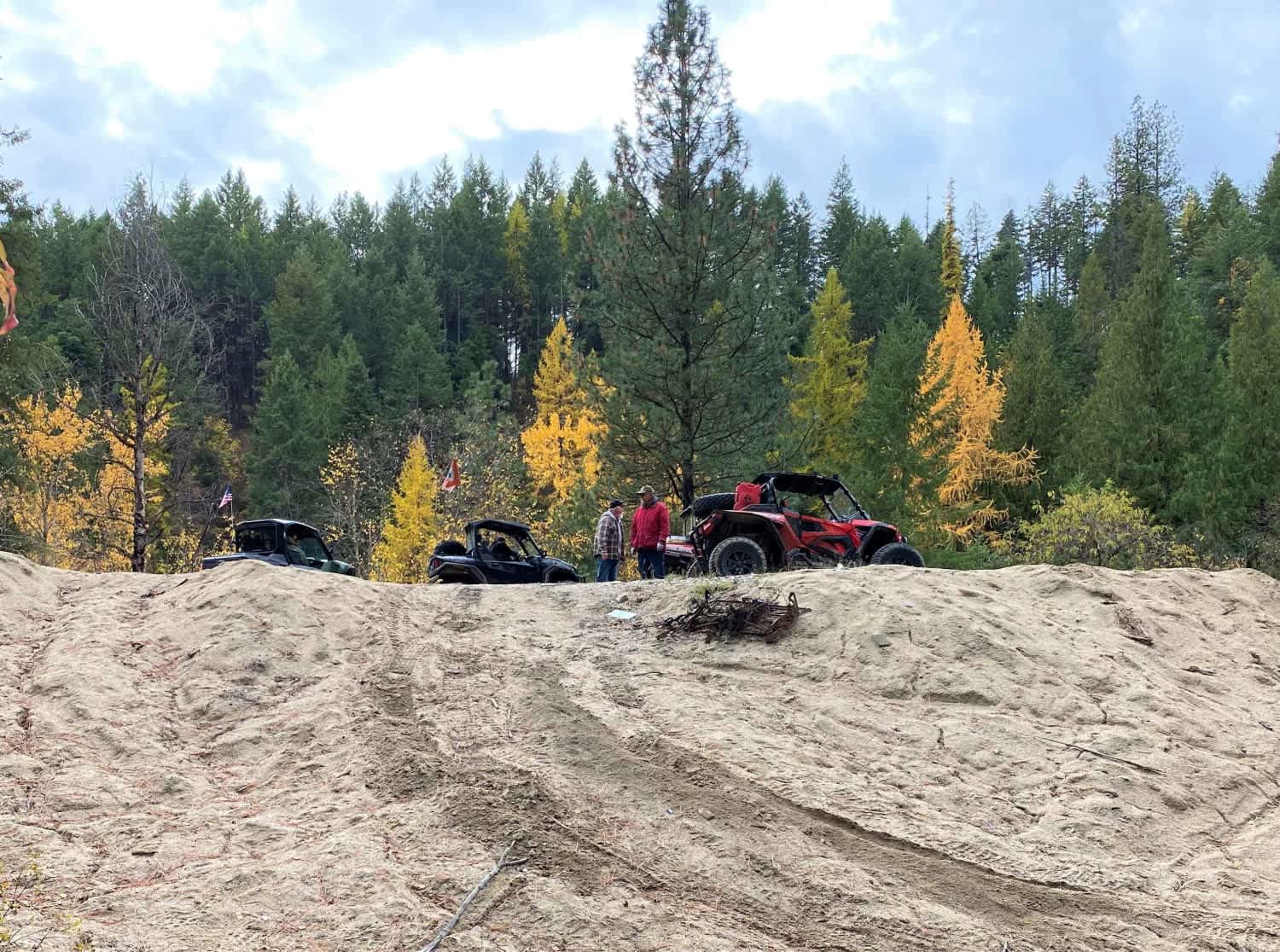
UTV/side-by-side trails in Washington
Learn more about 4104504 - Deep Woods Adventure
4104504 - Deep Woods Adventure
Total Miles
5.8
Tech Rating
Moderate
Best Time
Spring, Summer, Fall
The onX Offroad Difference
onX Offroad combines trail photos, descriptions, difficulty ratings, width restrictions, seasonality, and more in a user-friendly interface. Available on all devices, with offline access and full compatibility with CarPlay and Android Auto. Discover what you’re missing today!