Labyrinth Mountain to Fall Creek
Total Miles
8.4
Technical Rating
Best Time
Spring, Summer, Fall
Trail Type
Full-Width Road
Accessible By
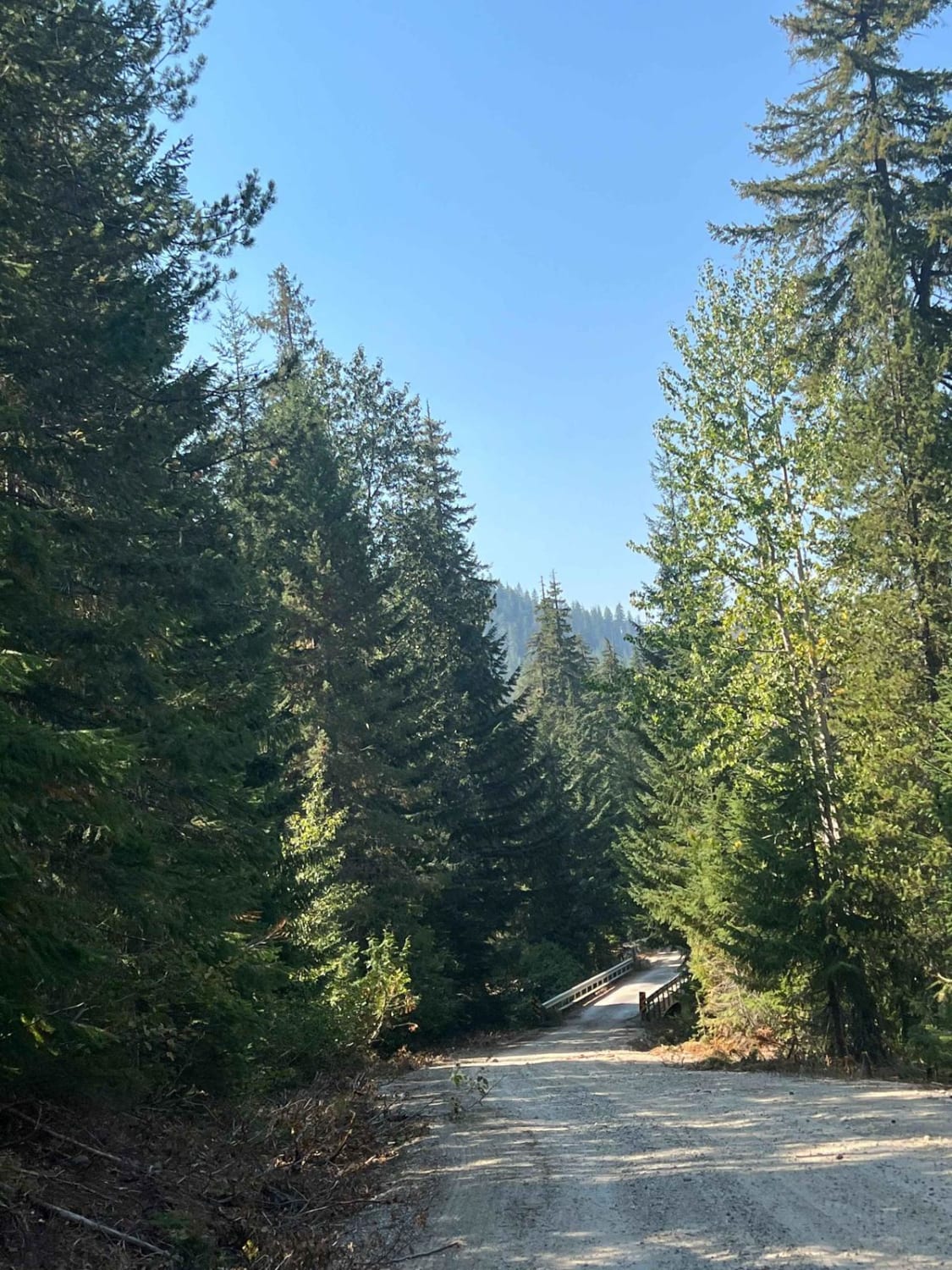
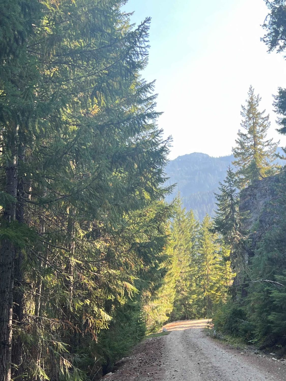
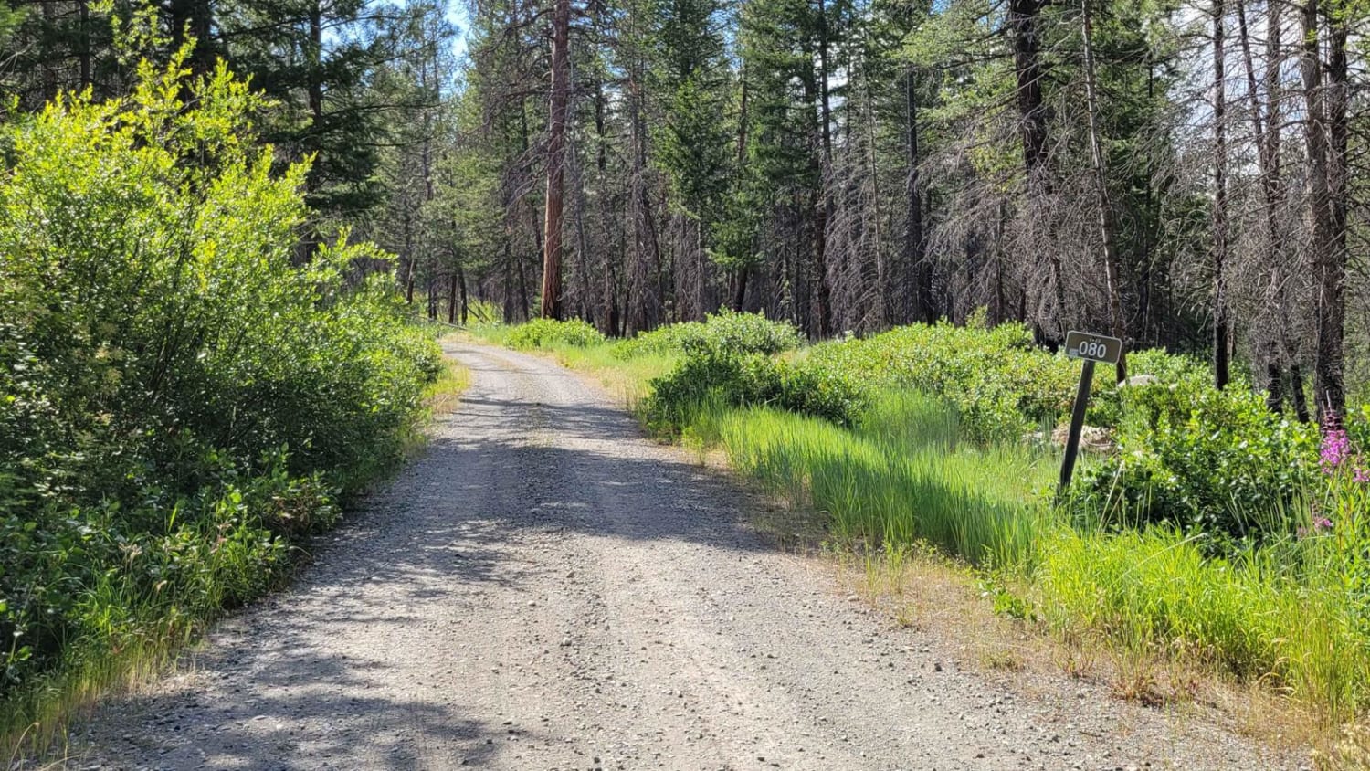
Trail Overview
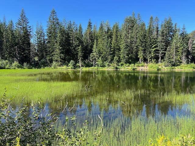
This is an easily traversed route between Top Lake Trailhead and Rainy Creek Campground/FR-65. The terrain is dirt road, passing a number of dispersed camping options and access roads to numerous trailheads in the area. The route would be difficult in the winter, with deep snow likely for a couple of months, but otherwise passable in all other conditions.
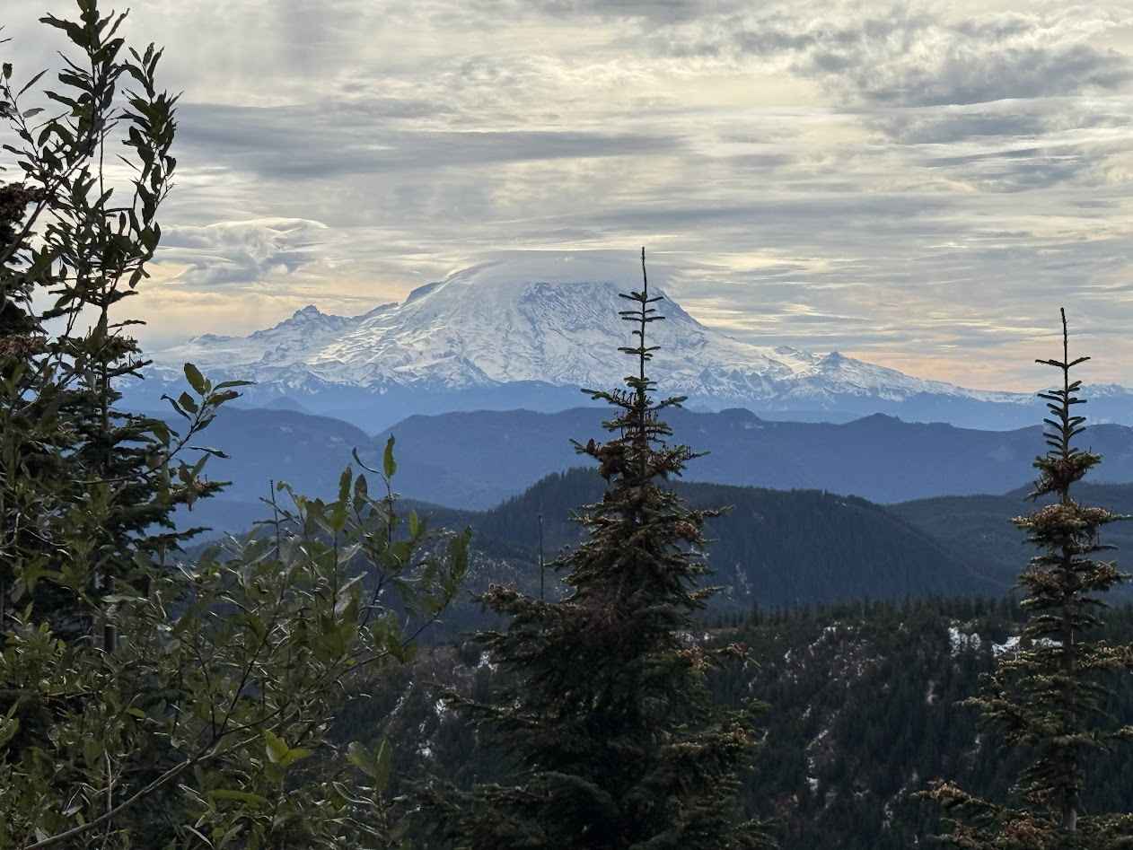
Photos of Labyrinth Mountain to Fall Creek
Difficulty
This is a mild to rough road at times, with narrow sections that may cause a few pinstripes in the late summer when the willows and oak are overgrown. You may encounter difficulty if meeting other vehicles on the road due to a lack of pullouts, but otherwise, it's an easy road.
Status Reports
Labyrinth Mountain to Fall Creek can be accessed by the following ride types:
- High-Clearance 4x4
- SUV
- SxS (60")
- ATV (50")
- Dirt Bike
Labyrinth Mountain to Fall Creek Map
Popular Trails

Mesatchee Creek Offroad Trail
Eagle Creek Trailhead - FR 4420 80
Lizard Lake/Longworth Cr.
Upper Snow Creek - FS 5078
The onX Offroad Difference
onX Offroad combines trail photos, descriptions, difficulty ratings, width restrictions, seasonality, and more in a user-friendly interface. Available on all devices, with offline access and full compatibility with CarPlay and Android Auto. Discover what you’re missing today!