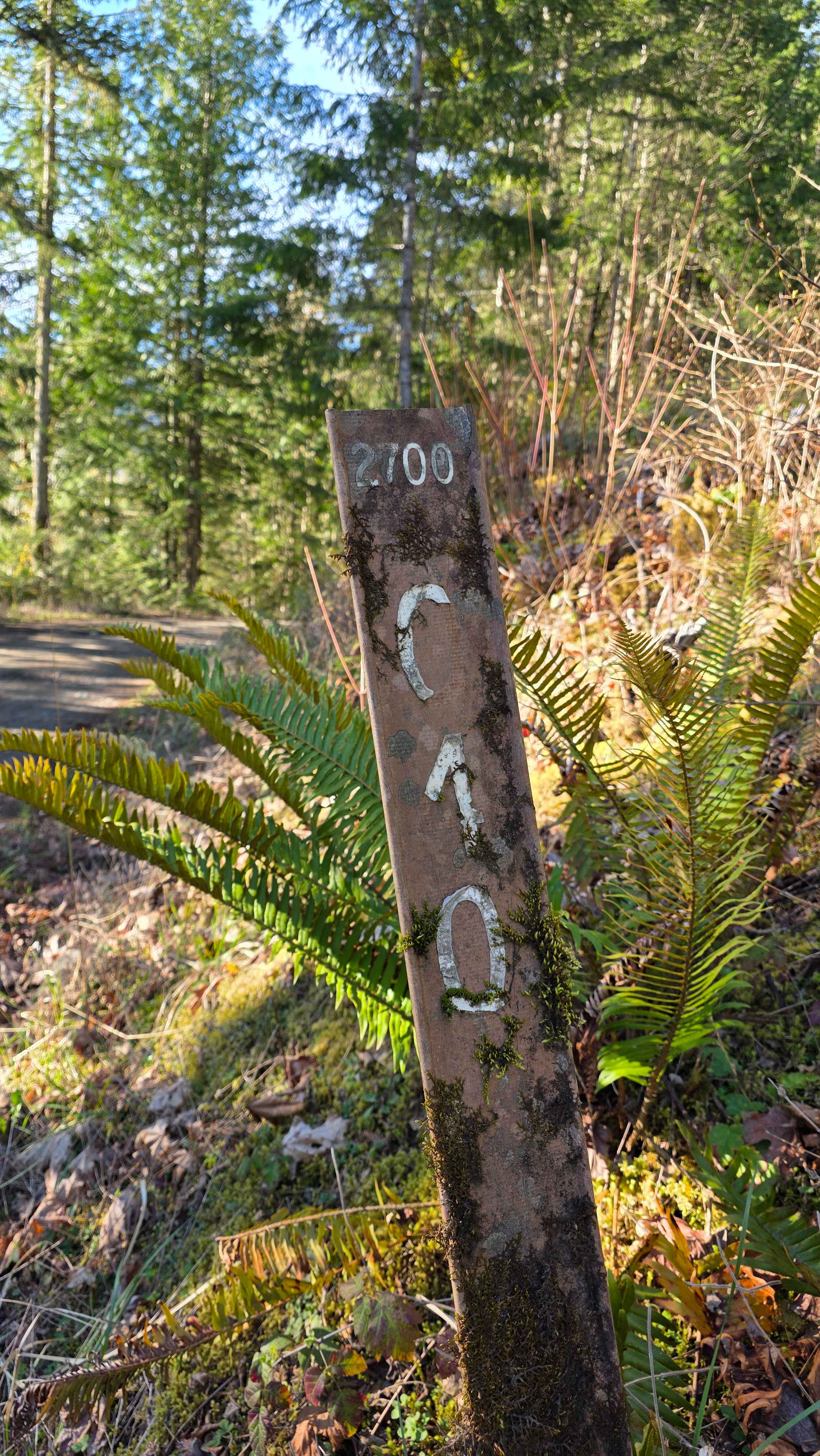
Klinger Road - FS 2602
Total Miles
3.2
Technical Rating
Best Time
Summer, Fall
Trail Type
Full-Width Road
Accessible By
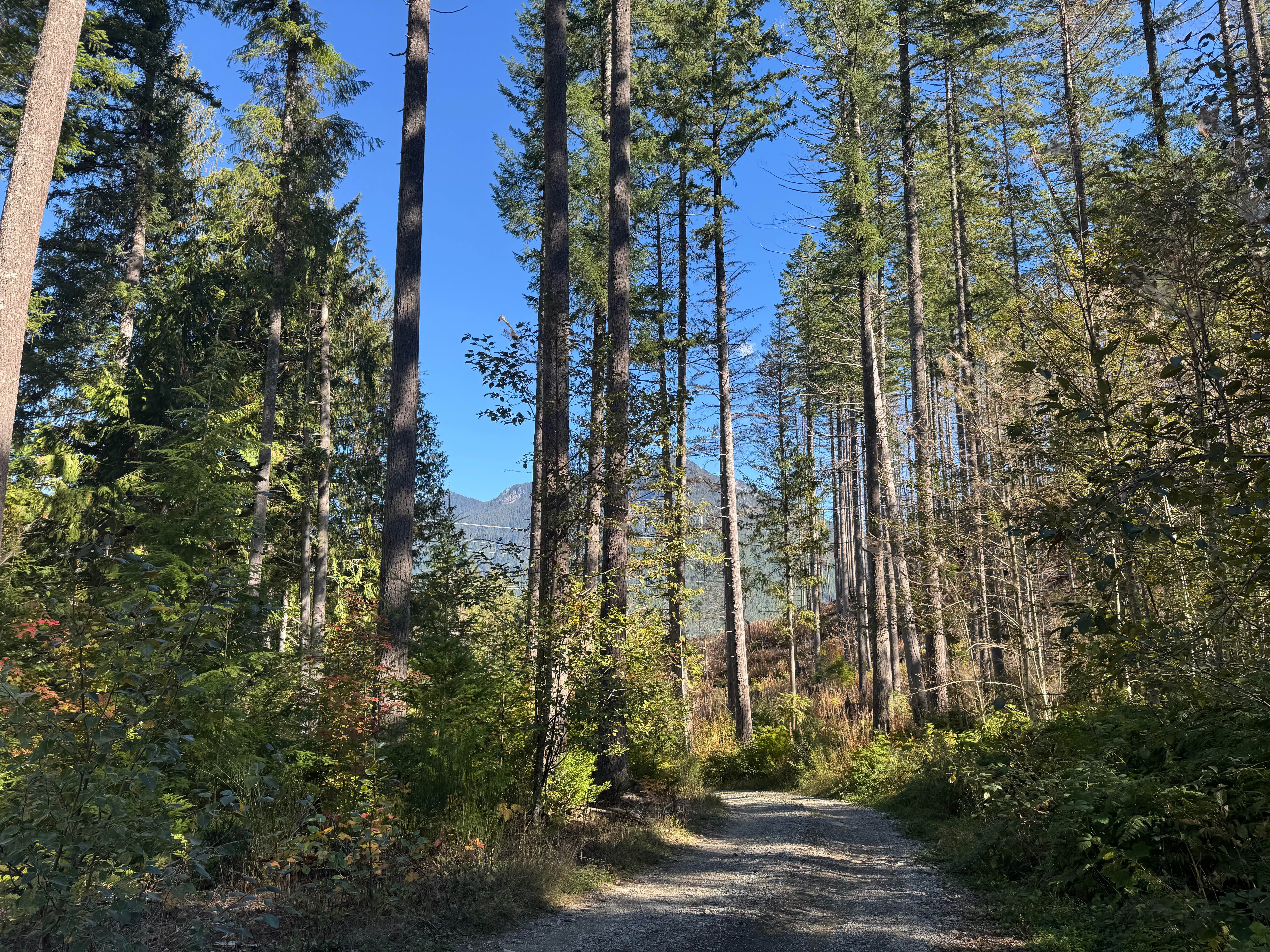
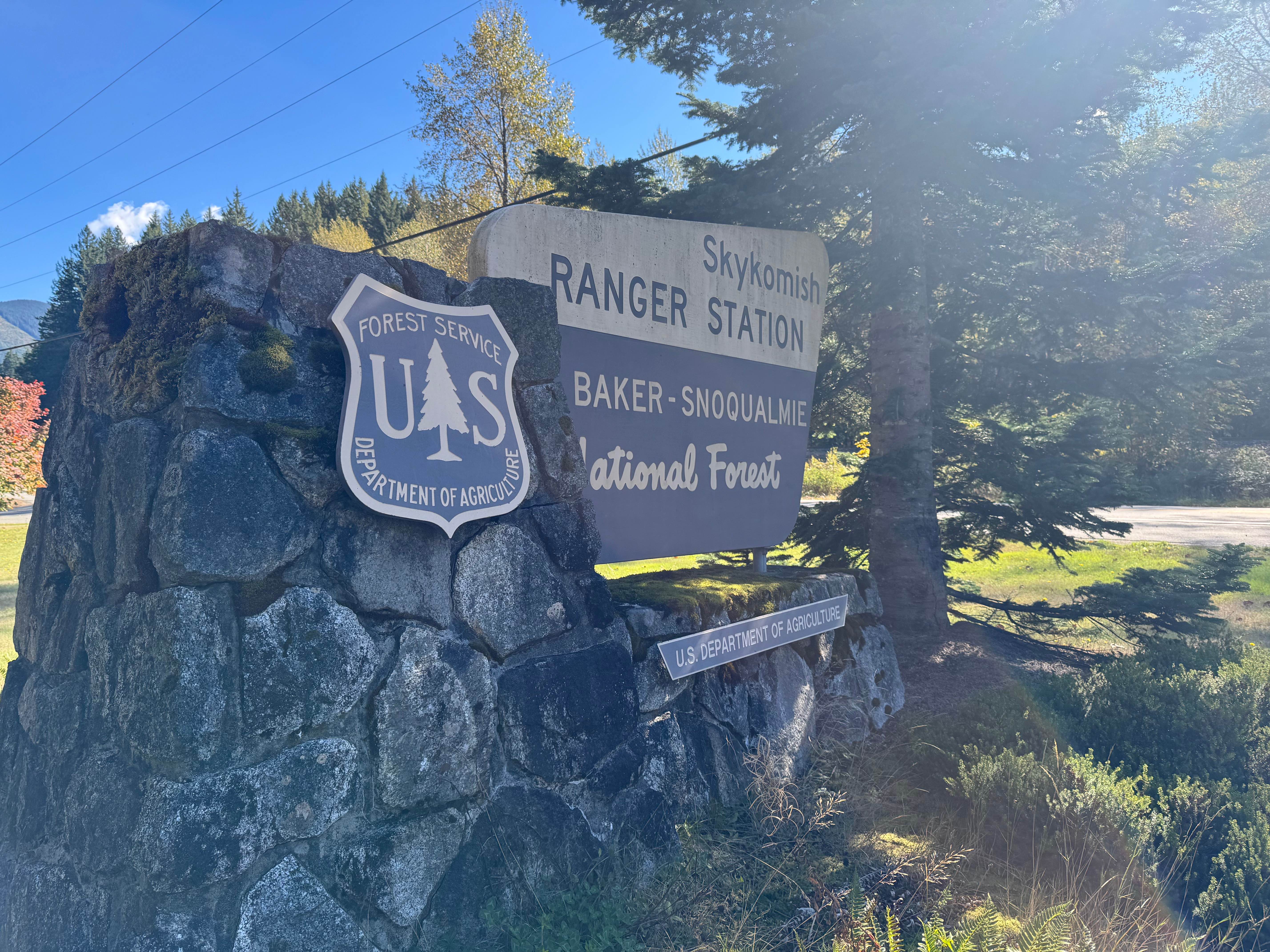
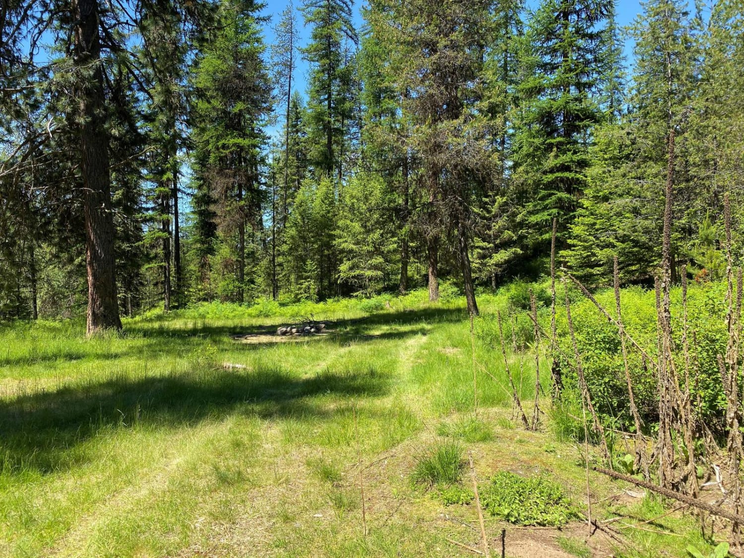
Trail Overview
This trail is a dead end with several short spurs branching off the main route. It features steady ascents and descents with occasional flat areas suitable for parking or camping. The road includes loose rocks, small V-notches, and shallow undulations up to 12 inches in height. Near the end, large boulders block the route with little space to turn around, requiring drivers to back down carefully alongside a drop-off on the passenger side. The Skykomish Ranger Station is located less than a mile to the east.
Photos of Klinger Road - FS 2602
Difficulty
The road is a good incline at times with loose rocks. The road ends with large boulders blocking most of the road without room to turn around. This means backing down with a drop-off on the passenger side may be required. There are a few small V-notches and undulations not more than 12 inches in height.
History
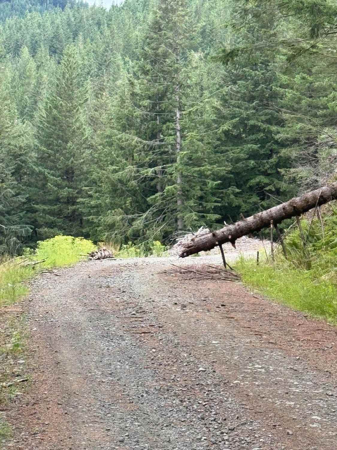
The area was impacted by the Bolt Creek Fire in 2022. The latter end of the drive will be exposed and in the burn scar.
Status Reports
Klinger Road - FS 2602 can be accessed by the following ride types:
- High-Clearance 4x4
- SUV
Klinger Road - FS 2602 Map
Popular Trails
Clover Springs
Big Quil Dam Road
The onX Offroad Difference
onX Offroad combines trail photos, descriptions, difficulty ratings, width restrictions, seasonality, and more in a user-friendly interface. Available on all devices, with offline access and full compatibility with CarPlay and Android Auto. Discover what you’re missing today!