Clover Springs
Total Miles
7.7
Technical Rating
Best Time
Spring, Summer, Fall
Trail Type
High-Clearance 4x4 Trail
Accessible By
Trail Overview
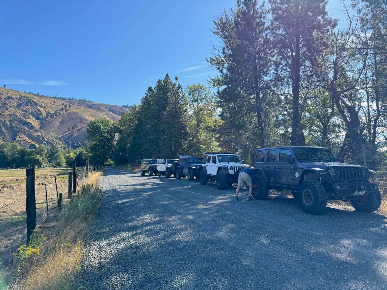
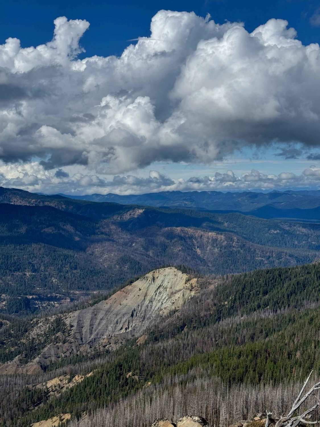
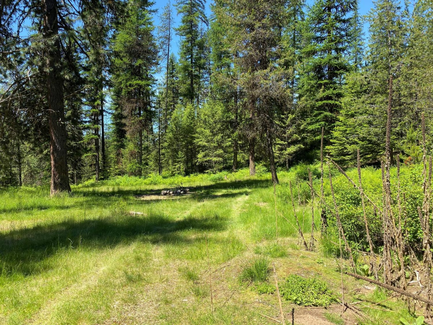
The Clover Springs trail (aka 4W697) is an 8-mile trail on the West side of 410 that takes you to the edge of the William O. Douglas wilderness area. Start on Over Springs Road in the town of Nile and drive about 8.5 miles to the start of the trail on the left. The trail itself is about 8 miles long. The hardest part is a long, steep, loose descent right after the start of the trail. The rest of the trail has some tight and twisty sections through the trees and a few stream crossings, but nothing technical. There are large sections of burned trees, so be prepared to deal with blowdown. The trail ends at the intersection with Mud Springs trail and there a few options from here. Head north towards Little Bald Mtn for some great views and a quicker exit back to 410, or turn left and head back towards Nile on the Mud Springs trail.
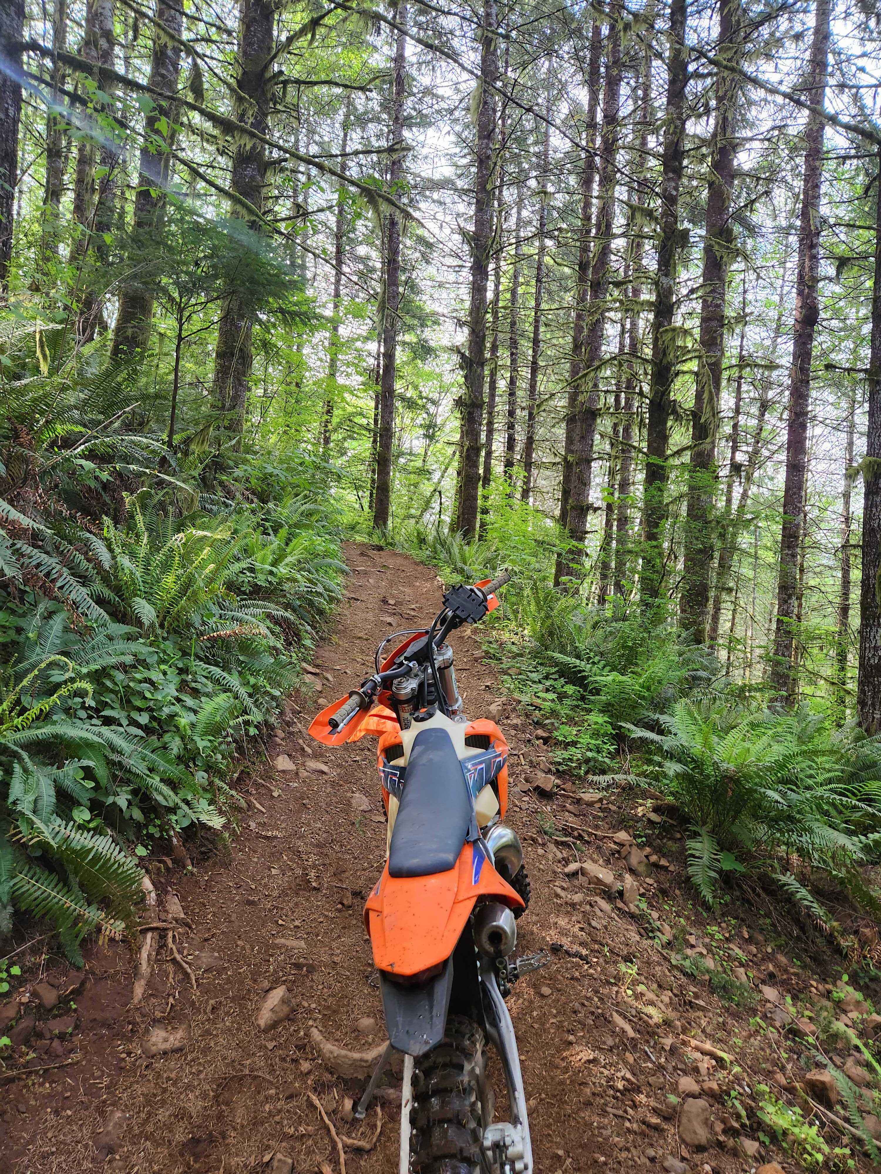
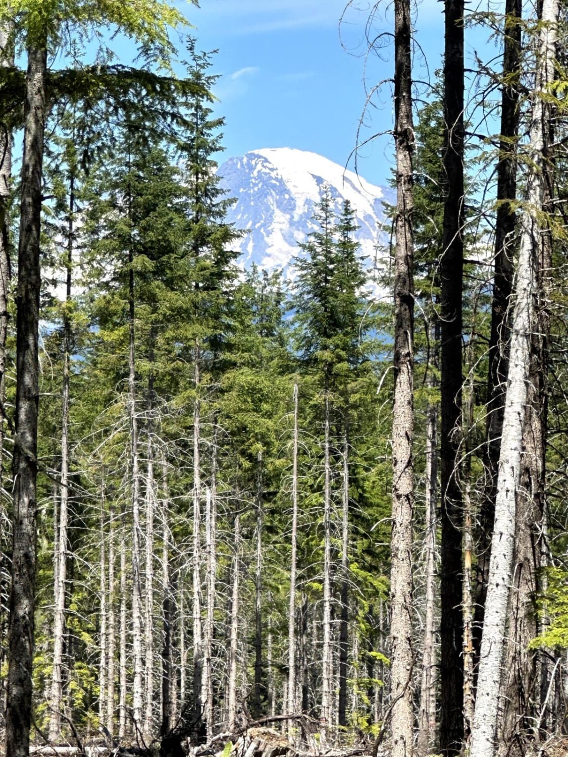
Photos of Clover Springs
Difficulty
The hardest part of this trail is a steep, loose descent near the beginning. It takes some courage and bit of finesse to get down. Could be quite challenging if there is mud. The rest of the trail some tight sections in the trees, but nothing very technical.
Clover Springs can be accessed by the following ride types:
- High-Clearance 4x4
Clover Springs Map
Popular Trails

CG 1400 Connecting Trail
North Rim Trail #1
Greenhorn Creek Road
The onX Offroad Difference
onX Offroad combines trail photos, descriptions, difficulty ratings, width restrictions, seasonality, and more in a user-friendly interface. Available on all devices, with offline access and full compatibility with CarPlay and Android Auto. Discover what you’re missing today!