L-1200
Total Miles
10.6
Technical Rating
Best Time
Spring, Summer, Fall, Winter
Trail Type
Full-Width Road
Accessible By
Trail Overview
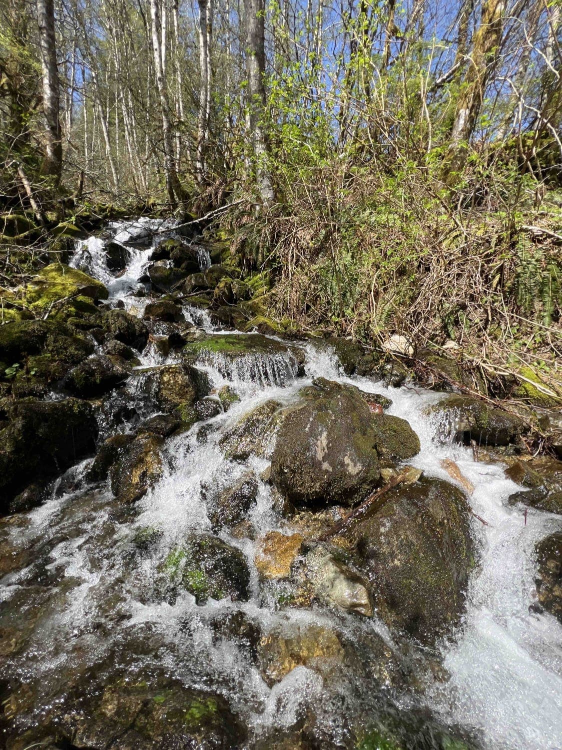
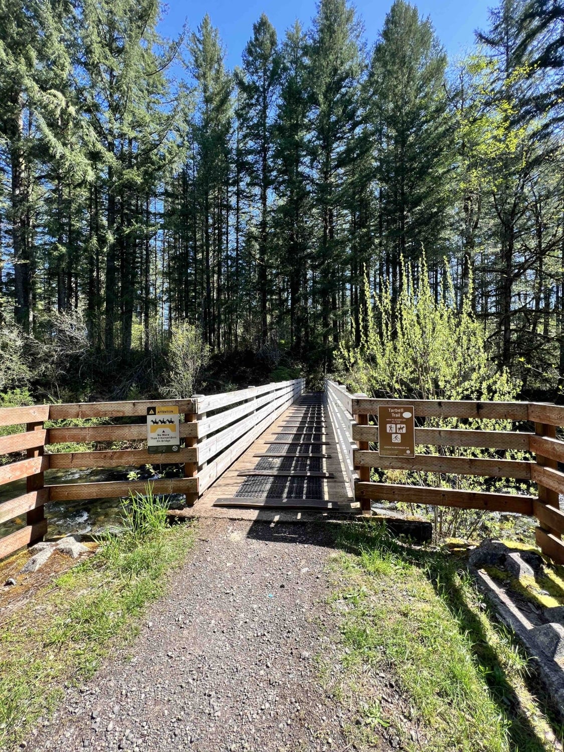
L-1200 is located in the Yacolt Burn State Forest. It's an easy gravel road that is well maintained by the state. Once on the trail, you will first cross the West Fork Washougal River where you can stop and enjoy the scenery and the small waterfall and even camp if you'd like. From there you continue through the forest to several dispersed camping spots. These are primitive with no running water and no restrooms so they pack it in and pack it out rules apply. You will find beautiful scenic views of Mount Hood which is a part of the Cascade Mountain Range. The Grouse Vista Picnic Site, Grouse Vista Trail, and the Tarbell Trail are located about 5 miles into the trail start. Continuing on, you will run into two more small waterfalls. From there the road ends at the Rock Creek Horse Camp which is a really nice campsite for anyone with horses, however, there are regular campsites as well, and is a popular hiking destination. Rock Creek is well maintained by the state and provides stalls for horses for certain reserved campsites. During the winter time, this area is well known to be trafficked by off-roaders to play in the snow. Be advised that the snow can be very deep in this area, high clearance, big tires, lifts, chains, and traction devices are advised during winter. Logging operations are taking place in the area so be aware of blind corners as these roads are very narrow and passing areas are not available.
Photos of L-1200
Difficulty
L-1200 is an easy gravel road which is well maintained however it is not plowed during the winter months so expect deep snow in winter.
Status Reports
L-1200 can be accessed by the following ride types:
- High-Clearance 4x4
- SUV
- SxS (60")
- ATV (50")
- Dirt Bike
L-1200 Map
Popular Trails

Dungeness Fork Run


East Waddell Basin

The onX Offroad Difference
onX Offroad combines trail photos, descriptions, difficulty ratings, width restrictions, seasonality, and more in a user-friendly interface. Available on all devices, with offline access and full compatibility with CarPlay and Android Auto. Discover what you’re missing today!