Hendricks
Total Miles
8.7
Technical Rating
Best Time
Summer, Fall, Spring
Trail Type
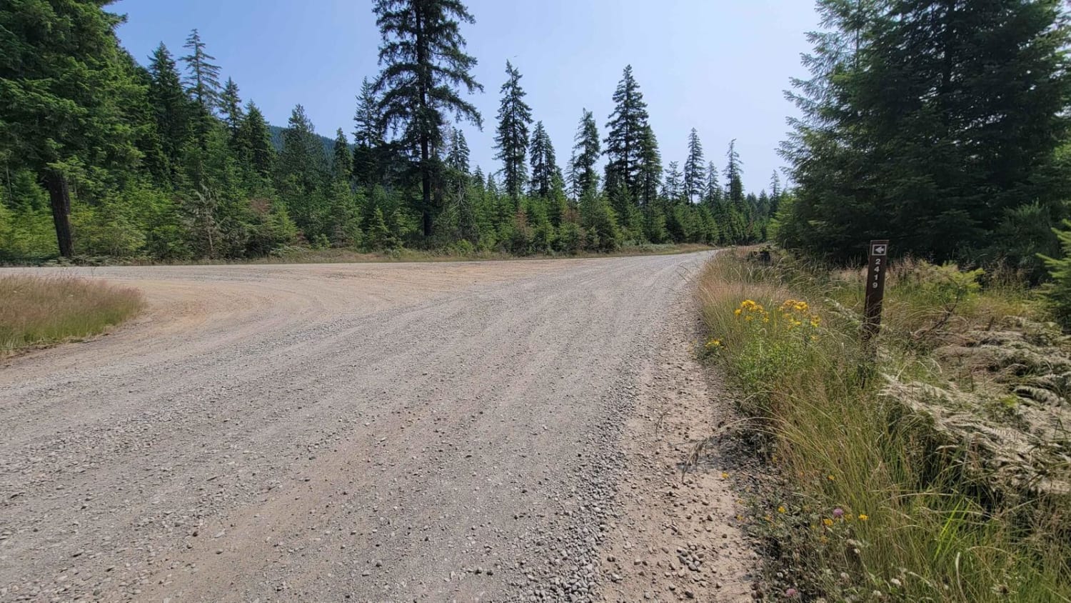
Full-Width Road
Accessible By
Trail Overview
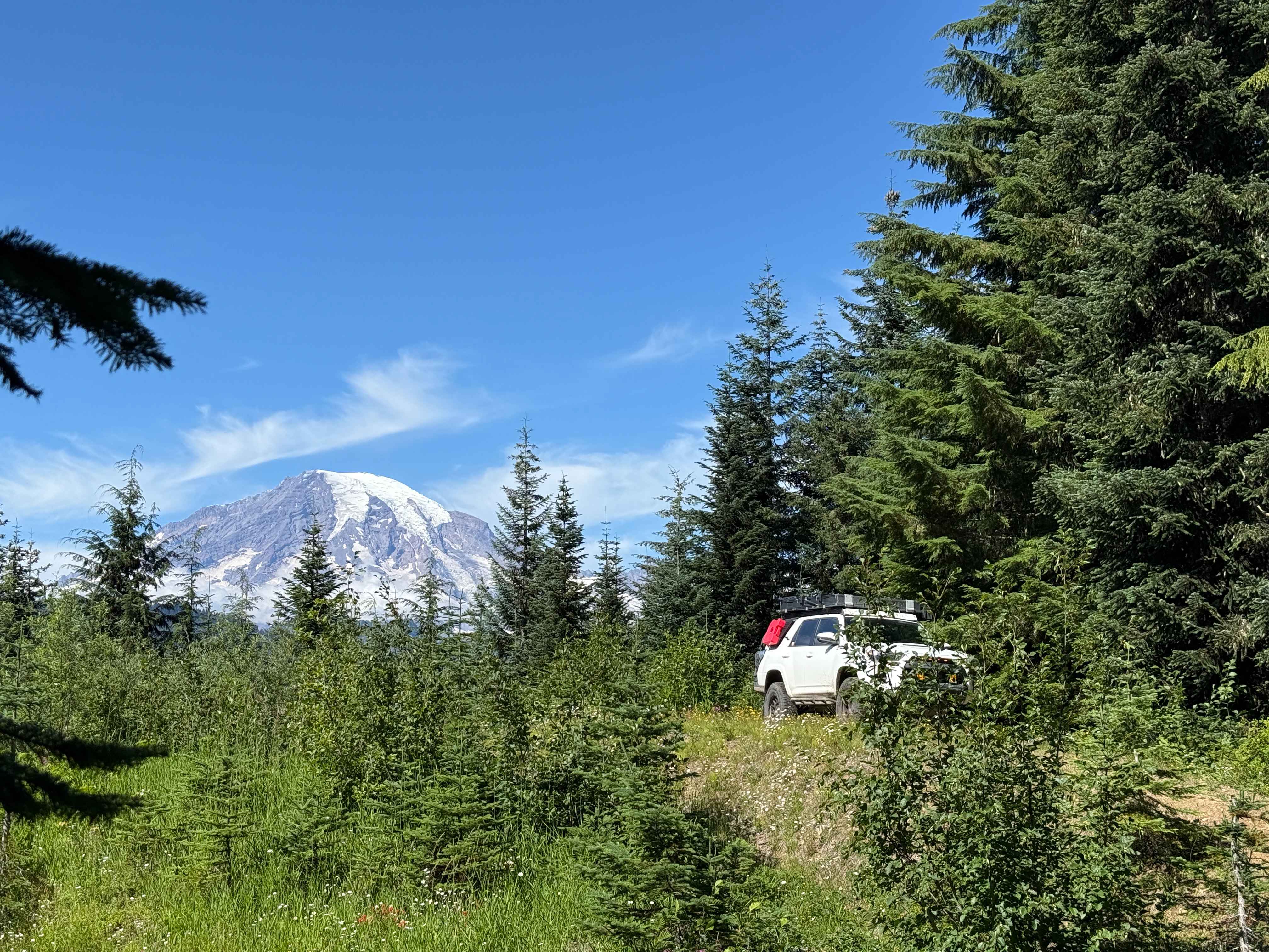
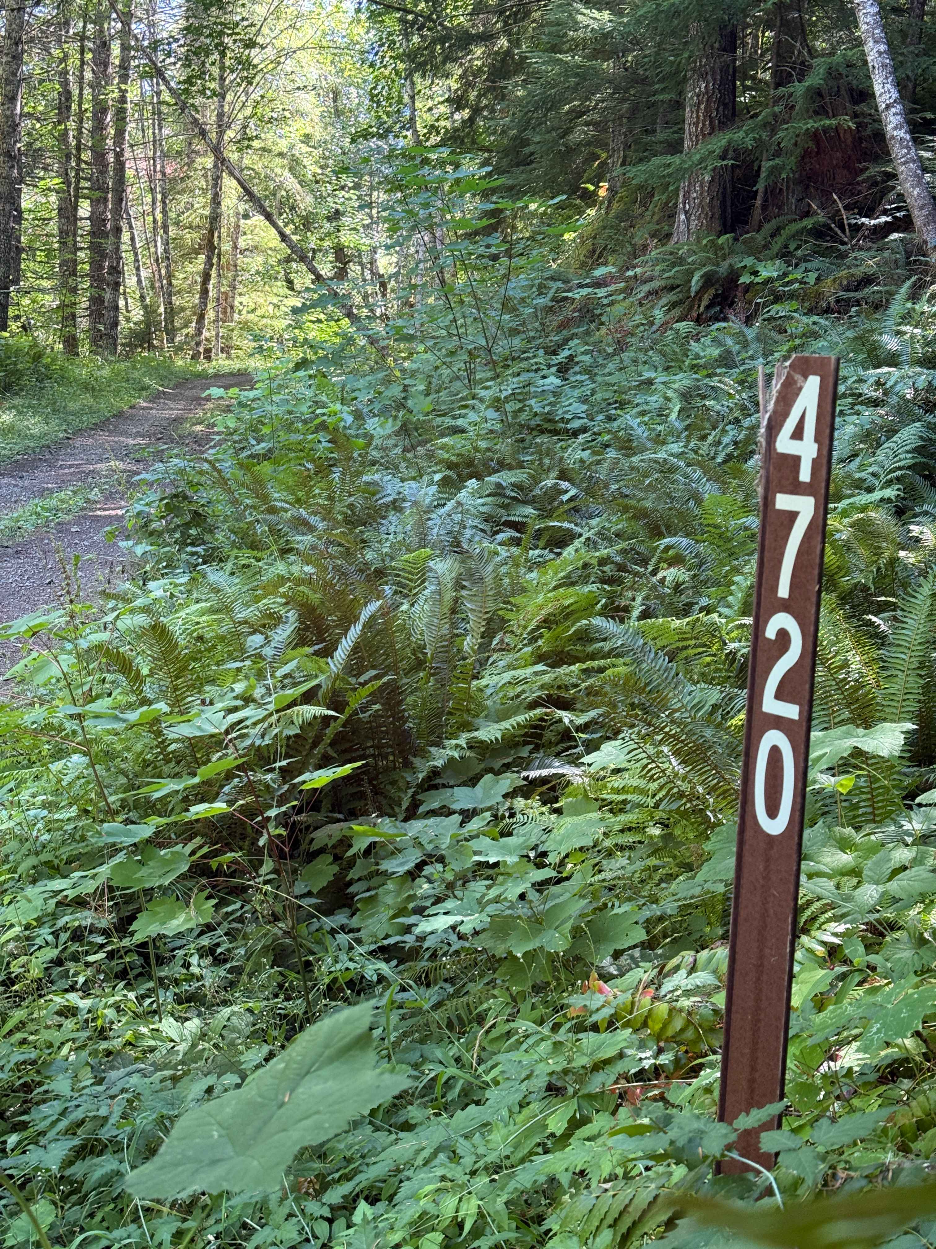
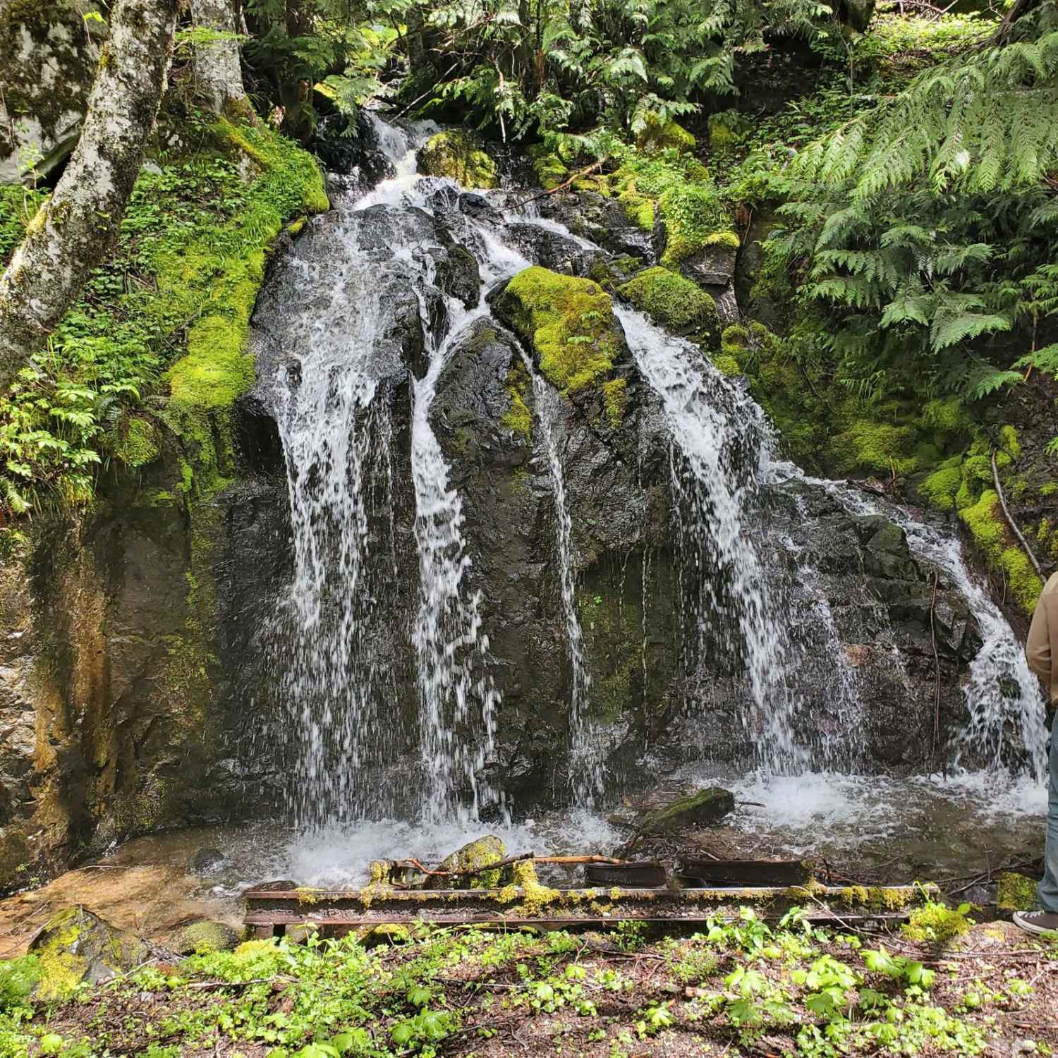
This out-and-back trail offers numerous breathtaking views of Mount Rainier for those prepared to traverse approximately 25-30 gentle "Kelly Humps" along the route. The first seven miles follow a wide, well-maintained gravel Forest Service road featuring humps roughly 12-24 inches in height. These are easily managed by lifted vehicles, and most stock-height vehicles should navigate them without difficulty, though lower crossovers may encounter clearance issues. Camping opportunities are abundant, including one notable site located atop a steep incline. While ascending in reverse can provide exceptional views of Mount Rainier from a wedge-style rooftop tent, side-opening tents may face challenges due to the narrow landing area at the summit. Beyond the seven-mile mark, the trail narrows and becomes moderately more technical. One obstacle includes a fallen tree that obstructs much of the path. Although it could be removed with proper tools, it is currently possible to bypass it by carefully navigating along the cliffside edge. When mapped in early August, the trail still featured a few small stream crossings, which are likely to be more substantial during the early summer months.
Photos of Hendricks
Difficulty
There are 25-30 Kelly Humps, tight trail after 7 miles, a few small stream crossings, and a downed tree you have to navigate around.
Hendricks can be accessed by the following ride types:
- High-Clearance 4x4
- SUV
- SxS (60")
- ATV (50")
- Dirt Bike
Hendricks Map
Popular Trails


DNR Road 5 - Elbe OHV Access
NF 2419 - Mt Ellinor Th
The onX Offroad Difference
onX Offroad combines trail photos, descriptions, difficulty ratings, width restrictions, seasonality, and more in a user-friendly interface. Available on all devices, with offline access and full compatibility with CarPlay and Android Auto. Discover what you’re missing today!