NF 2419 - Mt Ellinor Th
Total Miles
6.3
Technical Rating
Best Time
Summer, Fall
Trail Type
Full-Width Road
Accessible By
Trail Overview
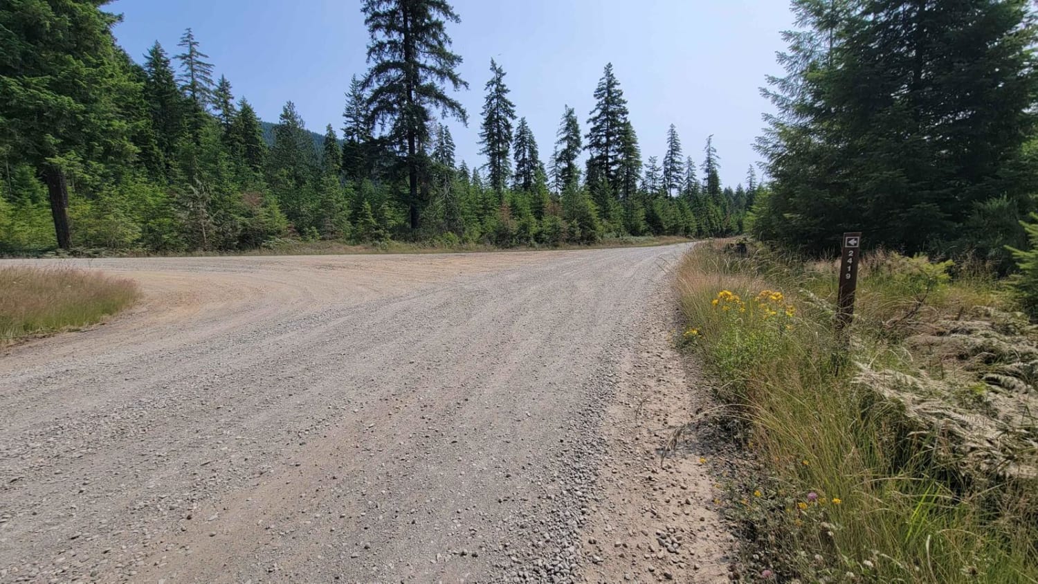
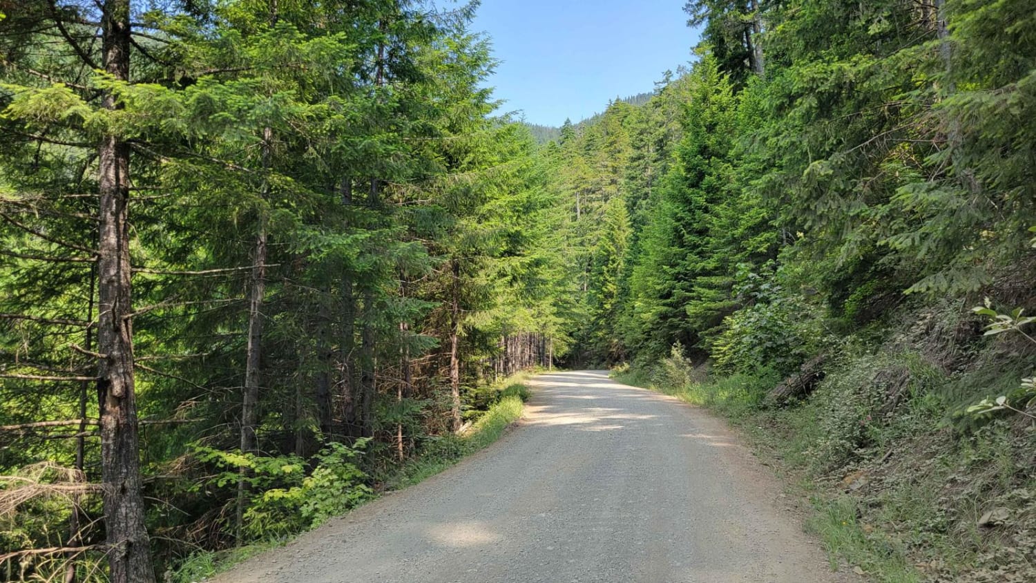
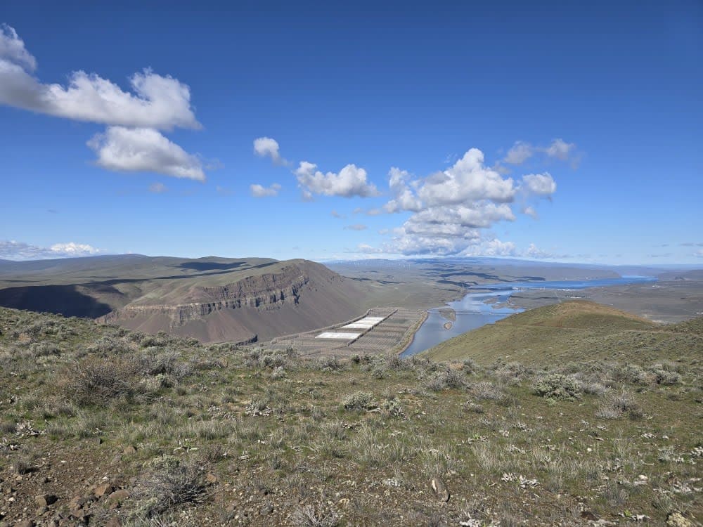
Turning North off of Forest Road 24, this trail leads to Mt. Ellinor Lower Trailhead. The trail does not continue past the endpoint, as it appears on the map. Rather it ends at a parking lot for the Jefferson Pass Trailhead. The road up is nice and wide with the typical washboard sections - safe and easy enough for 2WD vehicles to access the trailhead. The area is unmaintained (closed) in the winter and early spring months. No cell service was noted.
Photos of NF 2419 - Mt Ellinor Th
Difficulty
The road up is nice and wide with the typical washboard sections - safe and easy enough for 2WD vehicles to access the trailheads.
Status Reports
NF 2419 - Mt Ellinor Th can be accessed by the following ride types:
- High-Clearance 4x4
- SUV
- SxS (60")
- Dirt Bike
NF 2419 - Mt Ellinor Th Map
Popular Trails
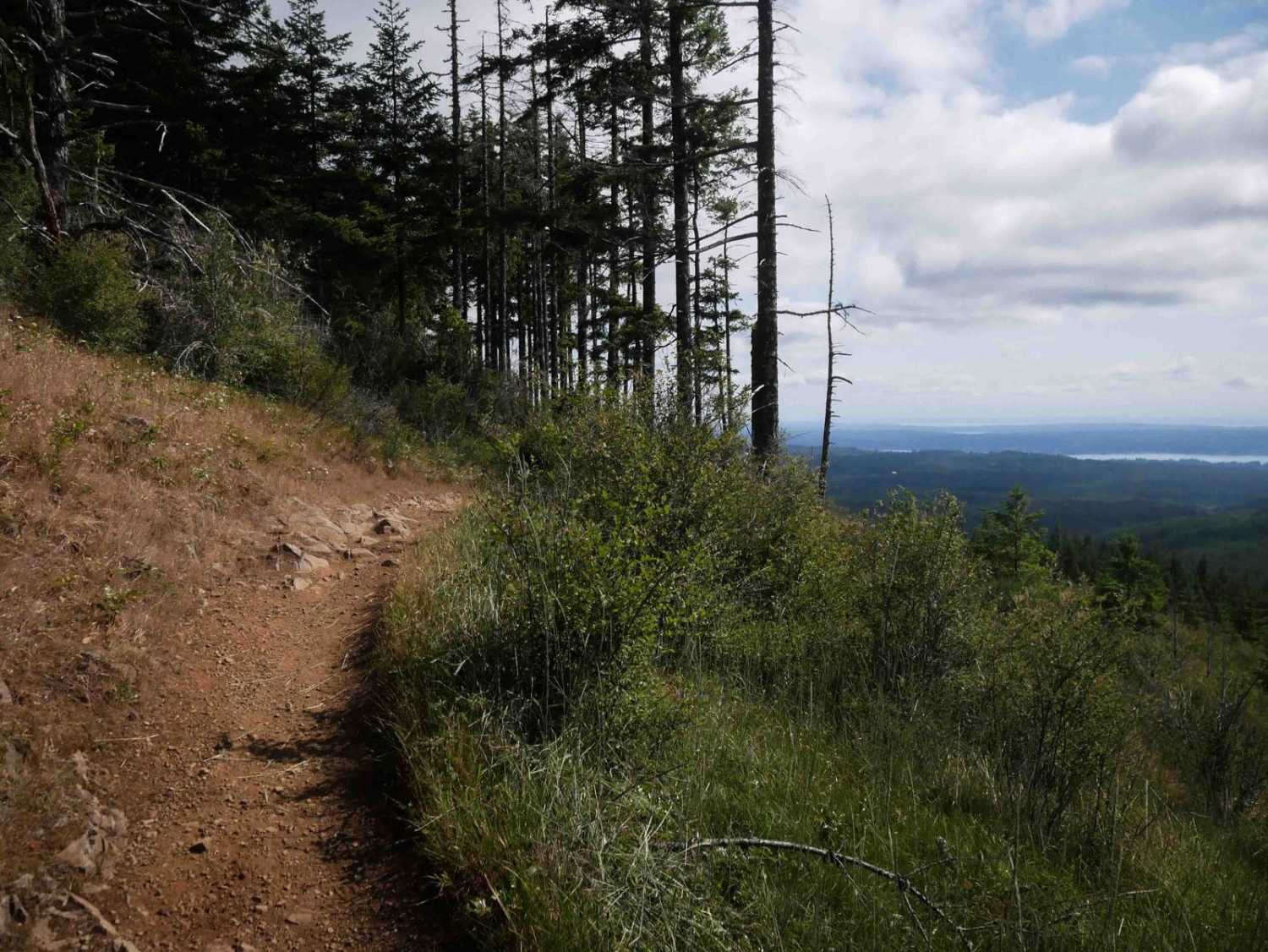
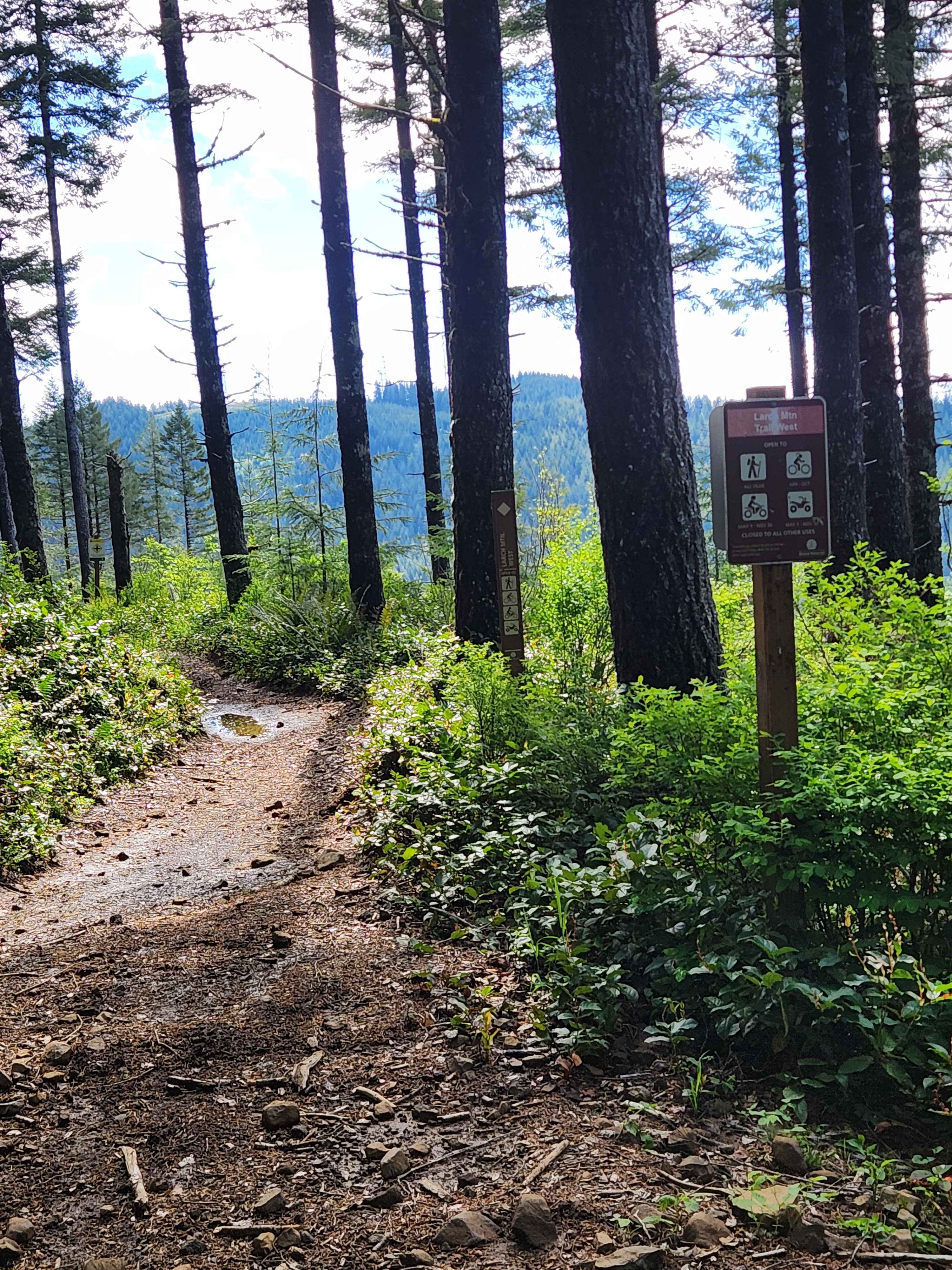
Larch Mountain Trail West

Saddle Mountain Northwest Trail
The onX Offroad Difference
onX Offroad combines trail photos, descriptions, difficulty ratings, width restrictions, seasonality, and more in a user-friendly interface. Available on all devices, with offline access and full compatibility with CarPlay and Android Auto. Discover what you’re missing today!