Eastside
Total Miles
8.1
Technical Rating
Best Time
Spring, Fall, Summer
Trail Type
Full-Width Road
Accessible By
Trail Overview
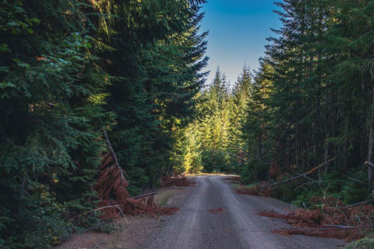
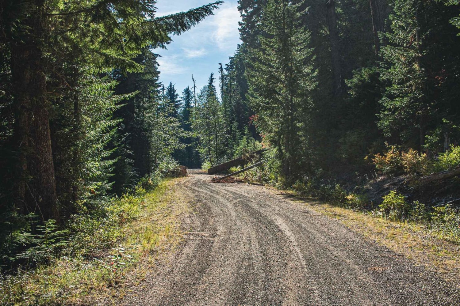
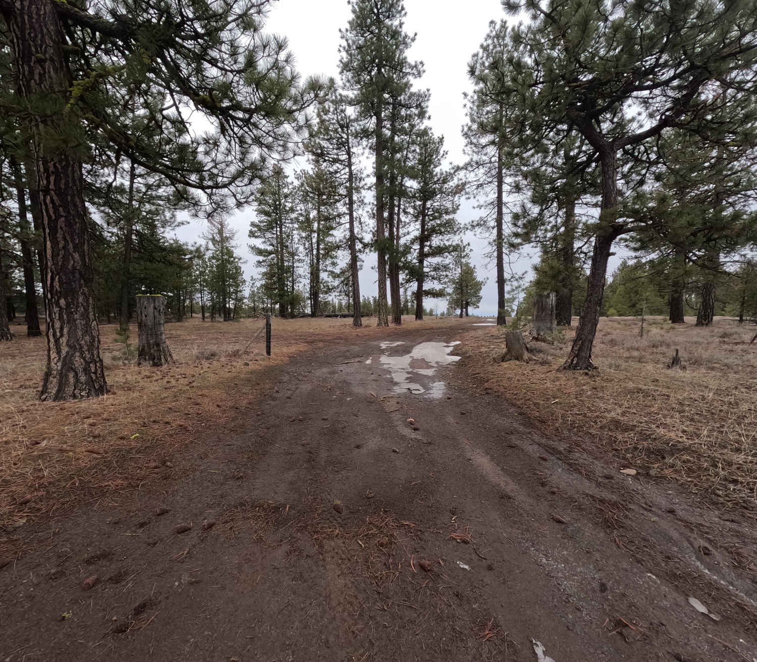
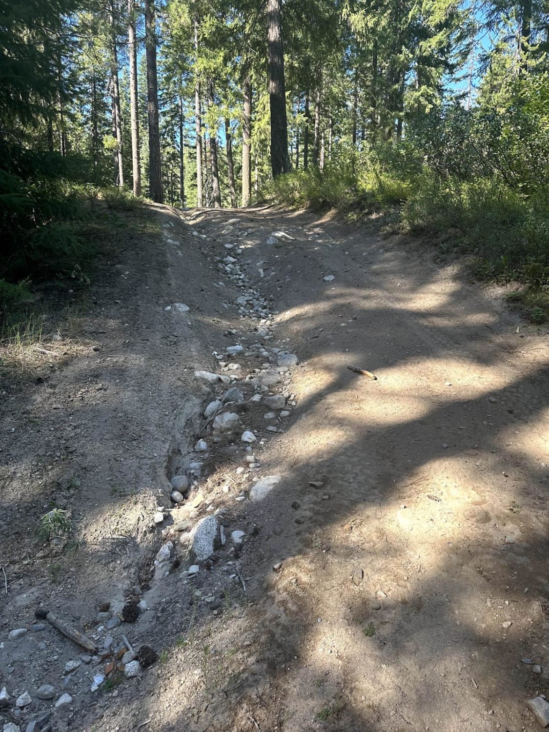
Eastside is an easy gravel road mixed with dirt, there are a few potholes both small and big, and some of them really sneak up on you. The road runs through Gifford Pinchot National. After a storm, you may run into downed trees. There are a couple of small camping options on this route.
Photos of Eastside
Difficulty
Potholes, not winter maintained.
Status Reports
Eastside can be accessed by the following ride types:
- High-Clearance 4x4
- SUV
- SxS (60")
- ATV (50")
- Dirt Bike
Eastside Map
Popular Trails

Forest Lake Rd 7222
Little Caribou Road
Chiwawa Loop Trail

East Van Creek Road
The onX Offroad Difference
onX Offroad combines trail photos, descriptions, difficulty ratings, width restrictions, seasonality, and more in a user-friendly interface. Available on all devices, with offline access and full compatibility with CarPlay and Android Auto. Discover what you’re missing today!