Clark Creek Trail
Total Miles
2.4
Technical Rating
Best Time
Trail Type
Single Track
Accessible By

Trail Overview
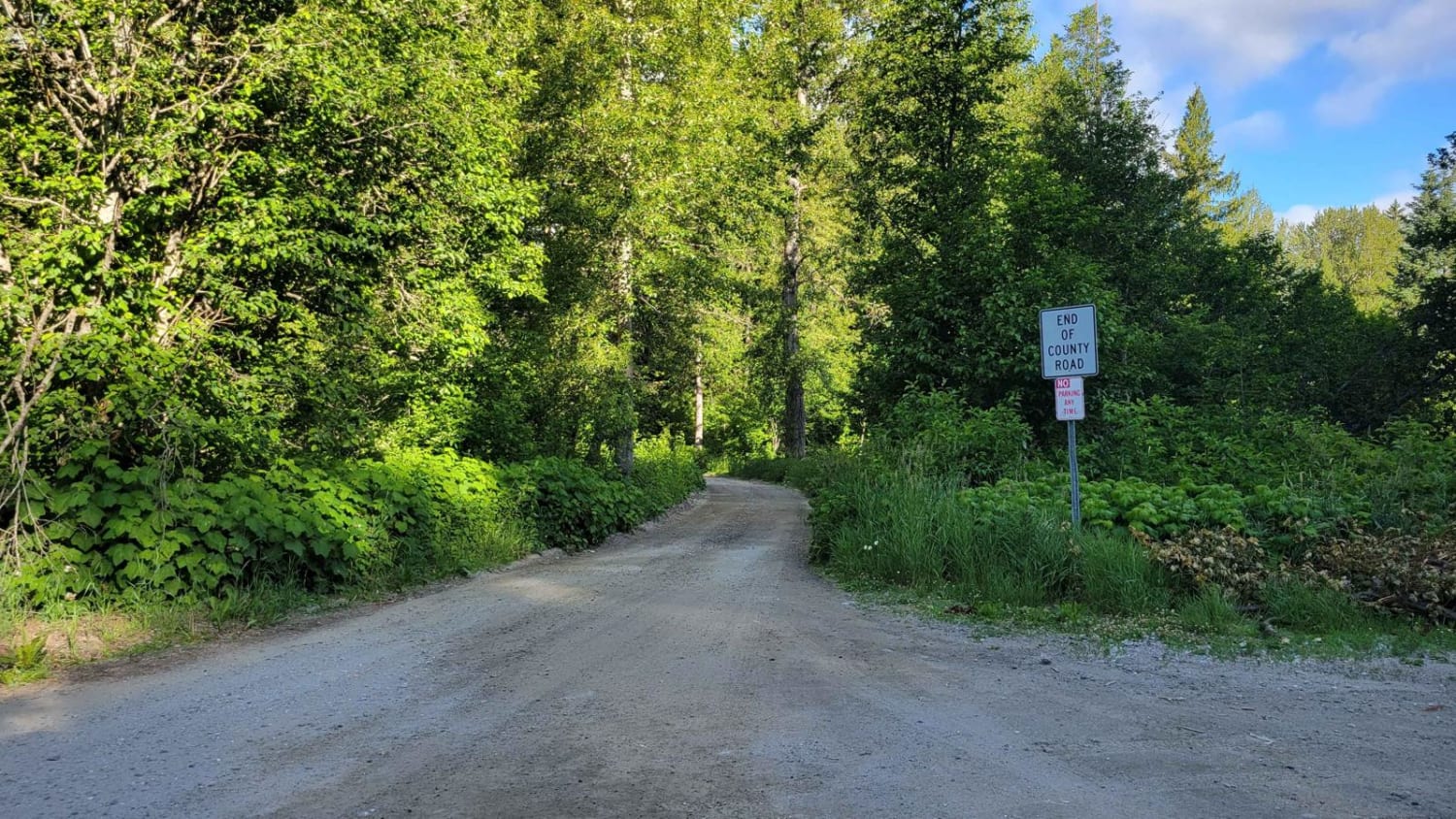
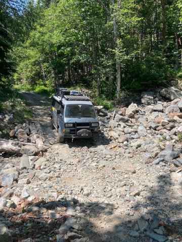
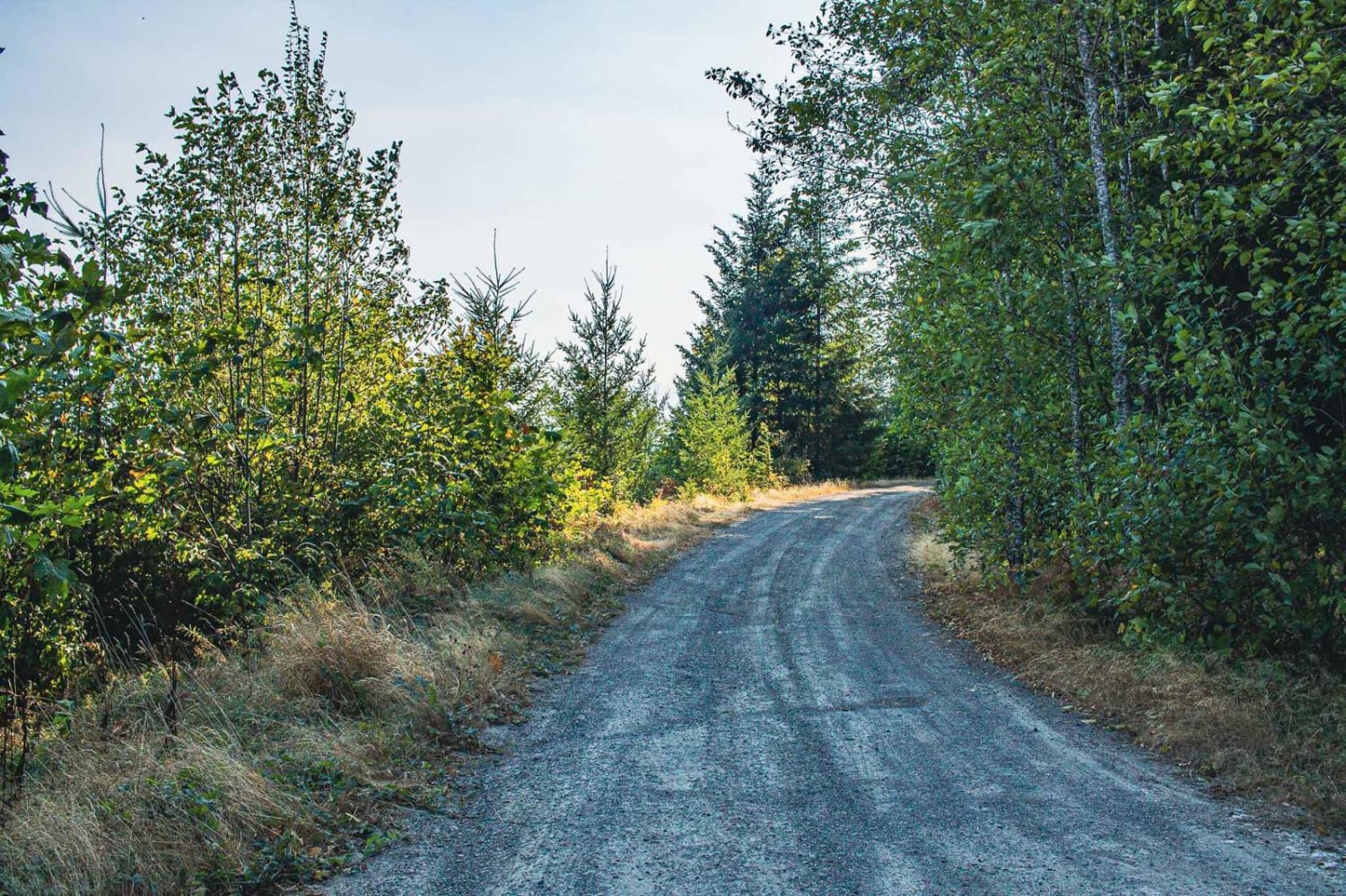
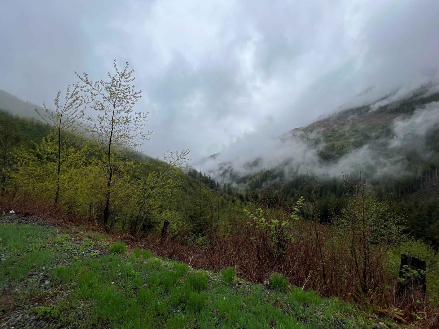
Clark Creek Trail is best suited for intermediate dirt bike riders seeking a short, moderately technical singletrack in Washington, connecting Trail #142 to Radar Dome Trail in Little Pend Oreille State Forest. At roughly 2.5 miles with about 900 feet of elevation gain, the route features narrow native soil tread with a mix of compact dirt, loose sections, embedded rocks, and seasonal mud. Frequent small obstacles like downed logs and shallow ruts keep the ride technical and slow-paced, with limited room to pass or recover, making it best for riders comfortable maintaining control through continuous singletrack. This motorcycle-only trail is not open to full-width 4x4 vehicles and ties directly into the larger Little Pend Oreille motorcycle trail system via Trail #142 and Radar Dome, allowing riders to extend mileage into longer loop options. Conditions shift quickly with weather, as spring and wet periods can make sections slick or rutted, while late summer brings drier but looser soil and possible fire restrictions. Intersections can be easy to miss due to light signage, and riders should expect limited cell coverage and variable maintenance, including occasional blowdowns.
Status Reports
Clark Creek Trail can be accessed by the following ride types:
- Dirt Bike
Clark Creek Trail Map
Popular Trails
White River Road - FR 6400
The onX Offroad Difference
onX Offroad combines trail photos, descriptions, difficulty ratings, width restrictions, seasonality, and more in a user-friendly interface. Available on all devices, with offline access and full compatibility with CarPlay and Android Auto. Discover what you’re missing today!