Buck Ridge B Line Connector
Total Miles
8.1
Technical Rating
Best Time
Spring, Summer, Fall, Winter
Trail Type
Full-Width Road
Accessible By
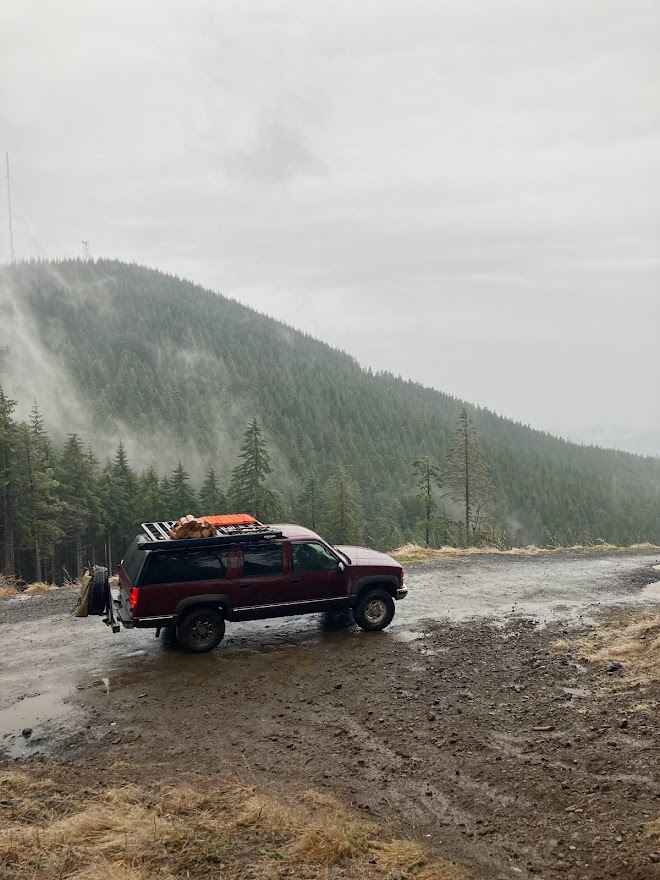
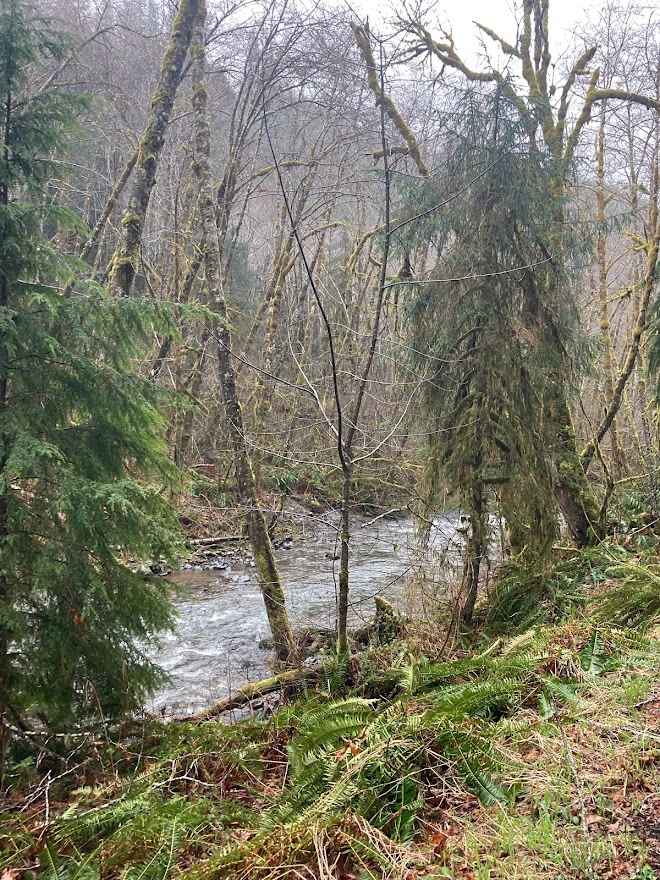
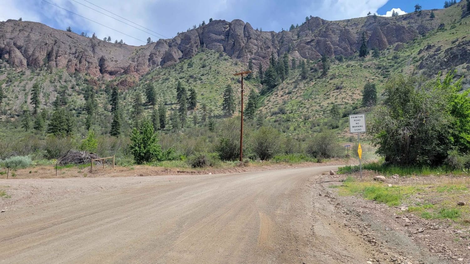
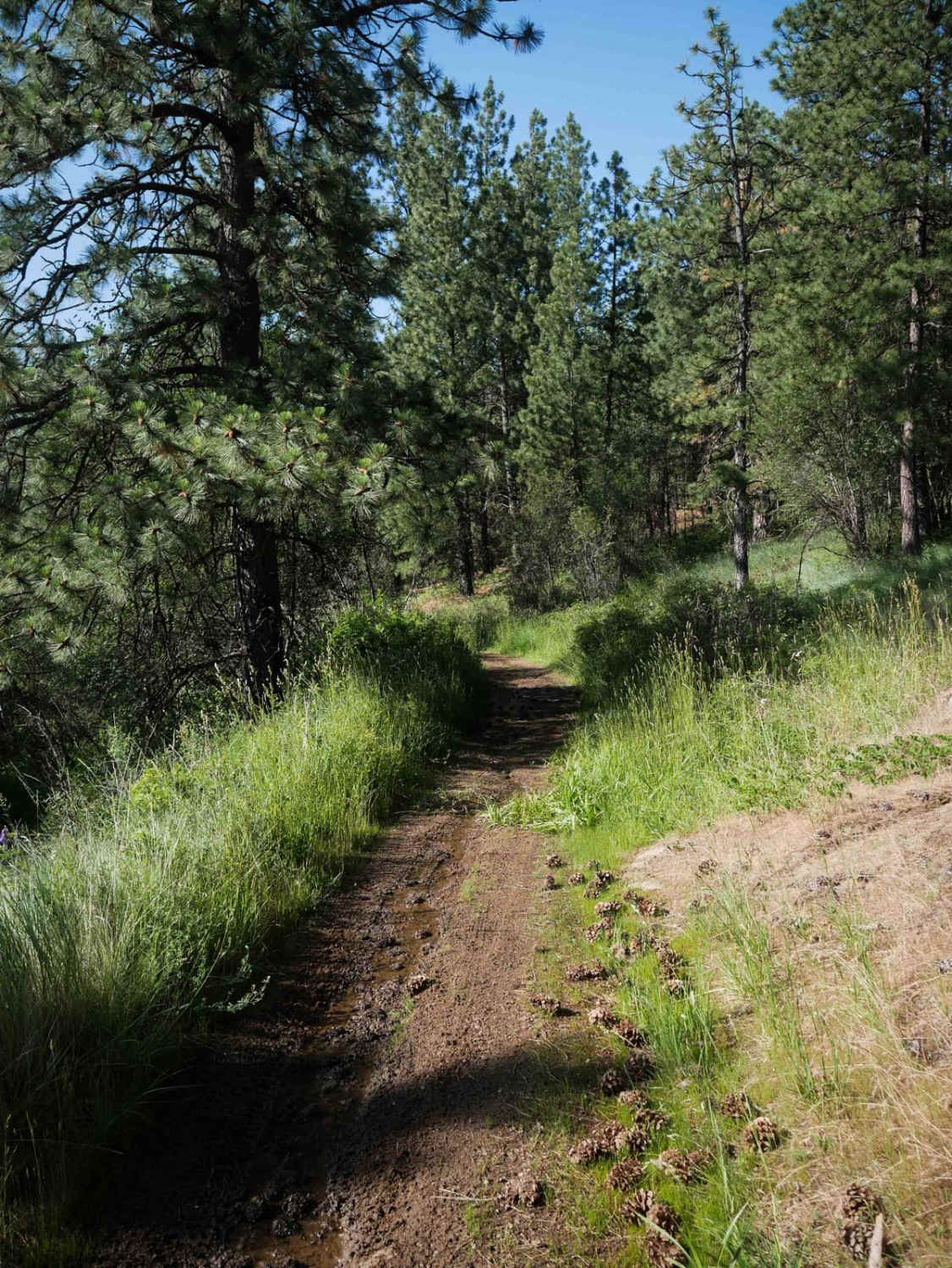
Trail Overview
100% gravel and dirt, this trail connects the Rock Candy Mountain area to the Capitol State Forest "A Line" road. Mostly Forest Service and logging roads, the trails are fairly easy to use. There are some intersections along the way; pay attention to your onX map progress. There are many side trails to explore, which are more difficult to use due to steeper and more uneven terrain, with mud and snow in the winter. Many of those side trails will reward you with dispersed campsites; however, many do not have views. Check the Capitol State Forest regulations before camping. Otherwise, there are many established camp areas throughout the forest.
Photos of Buck Ridge B Line Connector
Difficulty
The main route is rated 1-2, however some side trails could be rated 3-4 due to being less maintained.
Status Reports
Buck Ridge B Line Connector can be accessed by the following ride types:
- High-Clearance 4x4
- SUV
Buck Ridge B Line Connector Map
Popular Trails
Balky Hill Road - 1637

Staging Access Trail

Hard To Get To Ridge
The onX Offroad Difference
onX Offroad combines trail photos, descriptions, difficulty ratings, width restrictions, seasonality, and more in a user-friendly interface. Available on all devices, with offline access and full compatibility with CarPlay and Android Auto. Discover what you’re missing today!