Brewton Road
Total Miles
9.4
Technical Rating
Best Time
Spring, Summer, Fall
Trail Type
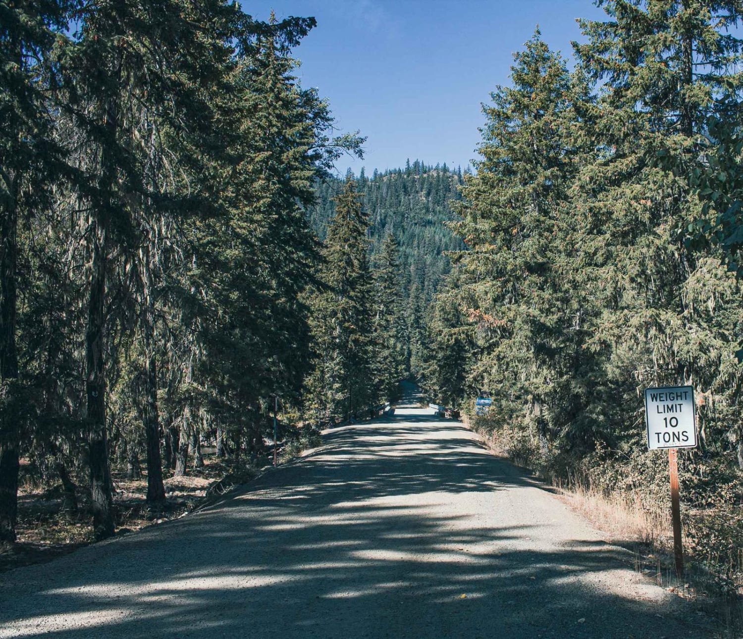
Full-Width Road
Accessible By
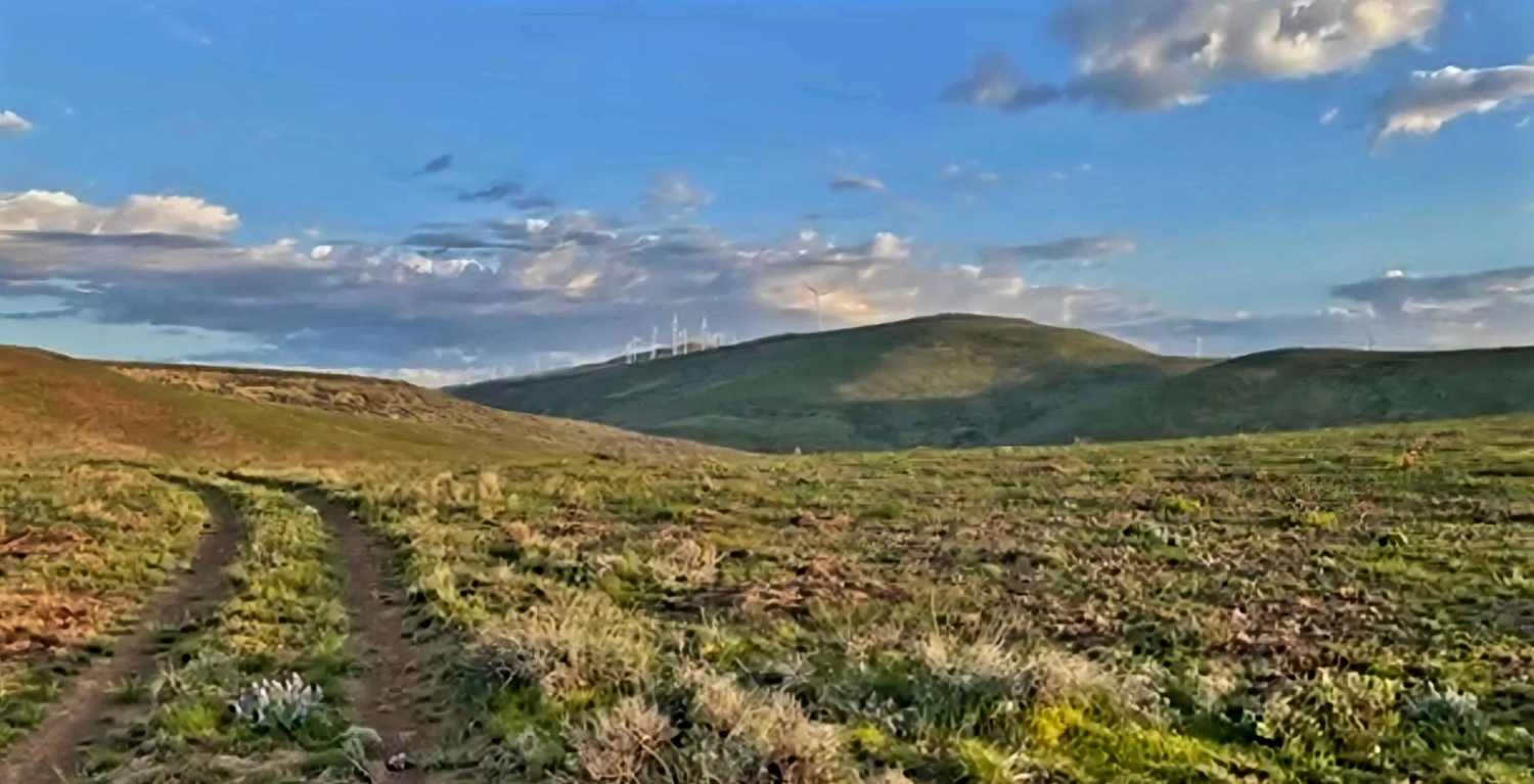
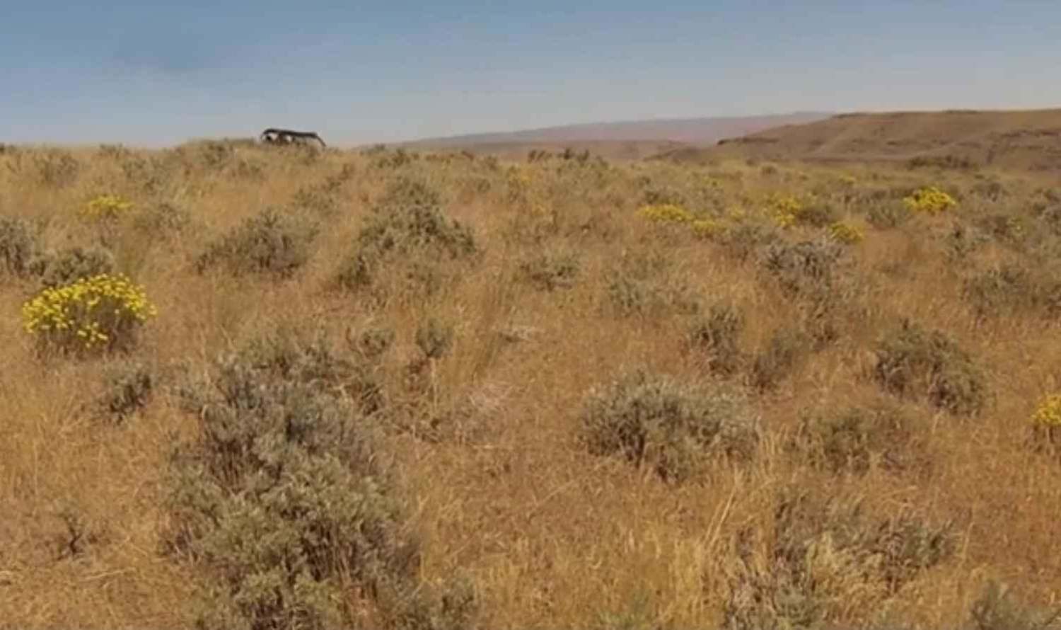
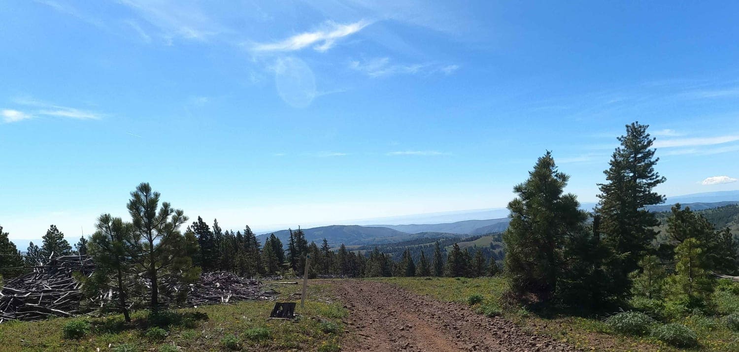
Trail Overview
The sagebrush steppe, with its rocky outcroppings and hidden canyons, presents stunning floral displays in the spring that will leave you in awe. Entire hillsides bloom with the vibrant yellow flowers of the Arrowleaf Balsamroot, creating a beautiful sea of color. To truly appreciate the gentle, rolling hills that stretch for miles without a tree in sight, you'll need to slow down and take your time. On a clear day, you can see Mount Rainier, the Goat Rocks, and Mount Adams to the west, while to the east, the vivid ribbon of the Columbia River and expansive farmland lead toward Moses Lake.
Photos of Brewton Road
Difficulty
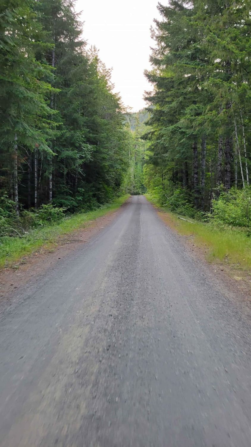
This green dot road features hard-packed dirt and sharp basalt rocks that can puncture a tire. It is recommended to carry a spare tire and a tire patch kit. The terrain is wide open, allowing visibility for many miles in any direction.
Status Reports
Brewton Road can be accessed by the following ride types:
- High-Clearance 4x4
- SUV
- SxS (60")
- ATV (50")
- Dirt Bike
Brewton Road Map
Popular Trails

Jefferson Creek Trail
French Cabin Creek
Reynolds Creek Tie - C1201
The onX Offroad Difference
onX Offroad combines trail photos, descriptions, difficulty ratings, width restrictions, seasonality, and more in a user-friendly interface. Available on all devices, with offline access and full compatibility with CarPlay and Android Auto. Discover what you’re missing today!