Burley Mountain Road
Total Miles
9.6
Technical Rating
Best Time
Spring, Summer, Fall
Trail Type
Full-Width Road
Accessible By
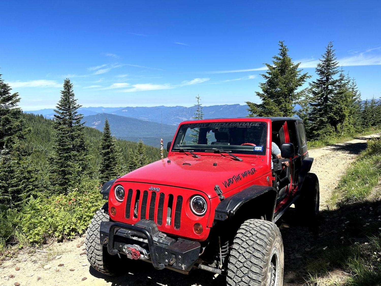
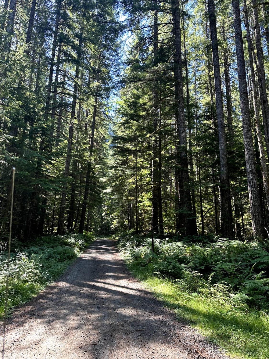
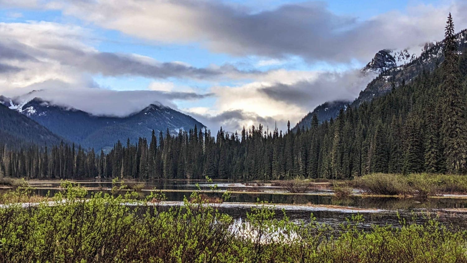
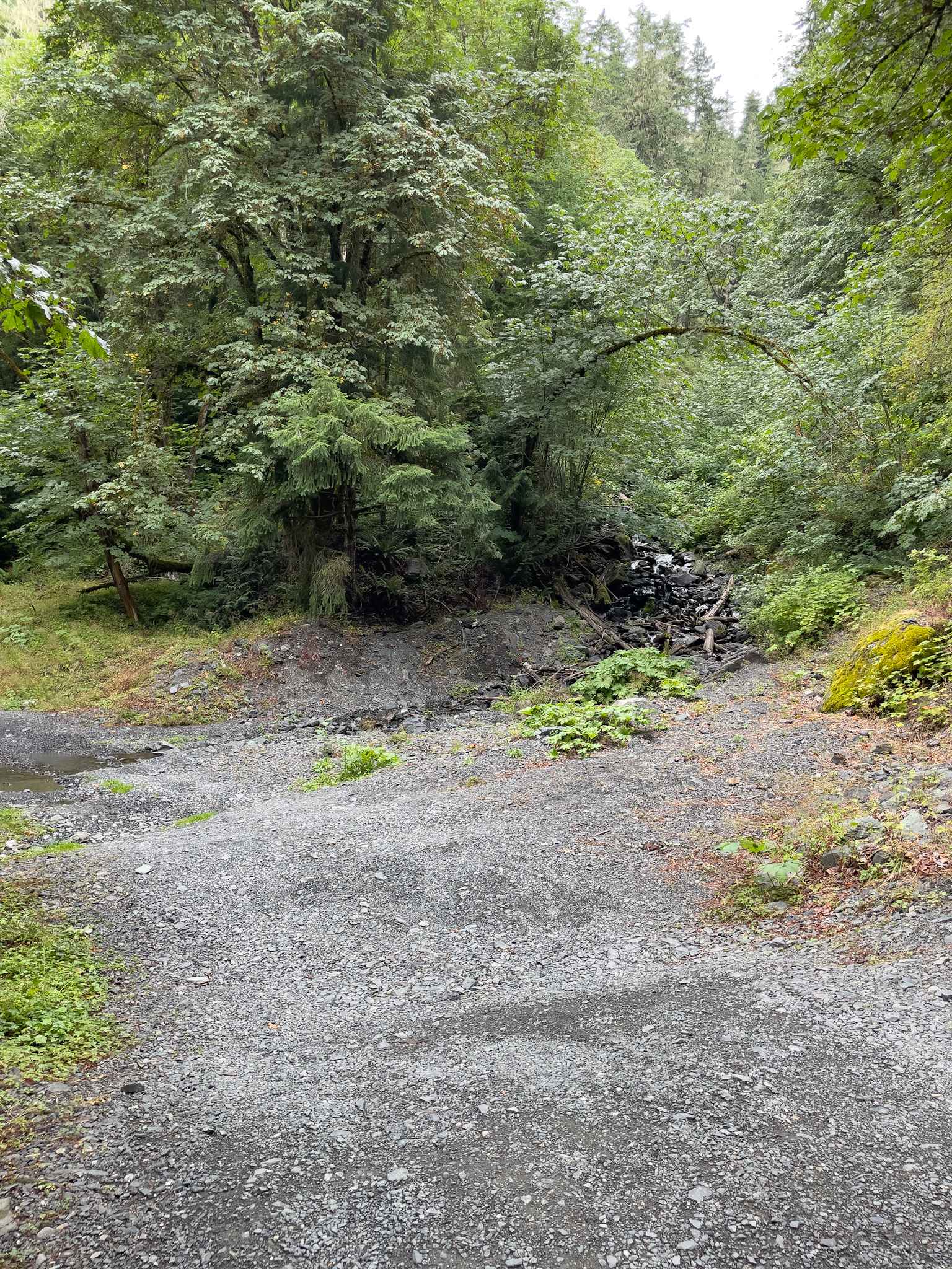
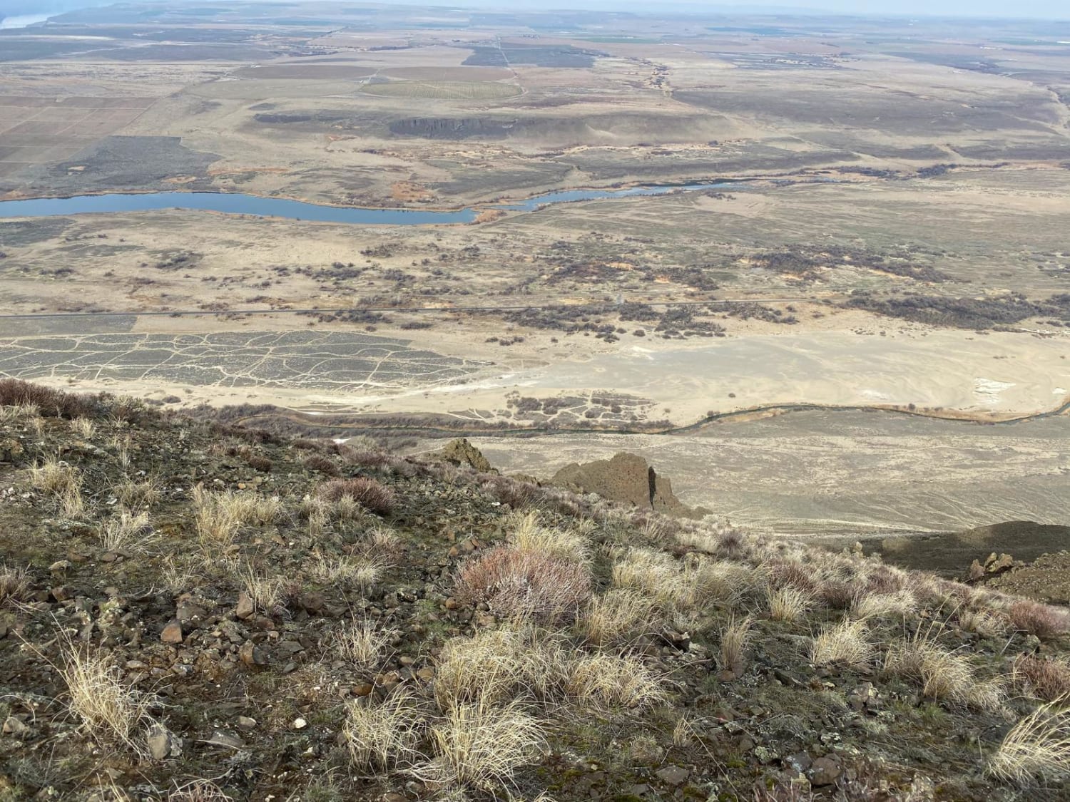
Trail Overview
This 10-mile point-to-point road takes you from the Cispus Valley up Burley Mountain. This road climbs over 3,500 feet into the Cascade Mountains and the Gifford-Pinchot National Forest. There are multiple locations along this trail for dispersed camping. This trail is passable by high clearance 2WD vehicles, AWD, and 4WD vehicles.
Photos of Burley Mountain Road
Difficulty
This is a single-vehicle road with mud holes less than 12 inches in depth.
Status Reports
Burley Mountain Road can be accessed by the following ride types:
- High-Clearance 4x4
- SUV
- SxS (60")
- ATV (50")
- Dirt Bike
Burley Mountain Road Map
Popular Trails
Cle Elum Valley Road

Clark Canyon Road
Church Mountain Road
Saddle Mountains
The onX Offroad Difference
onX Offroad combines trail photos, descriptions, difficulty ratings, width restrictions, seasonality, and more in a user-friendly interface. Available on all devices, with offline access and full compatibility with CarPlay and Android Auto. Discover what you’re missing today!