C Line Connector - C Line Road
Total Miles
5.7
Technical Rating
Best Time
Summer, Fall, Spring
Trail Type
Full-Width Road
Accessible By
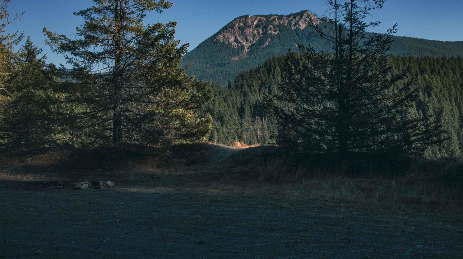
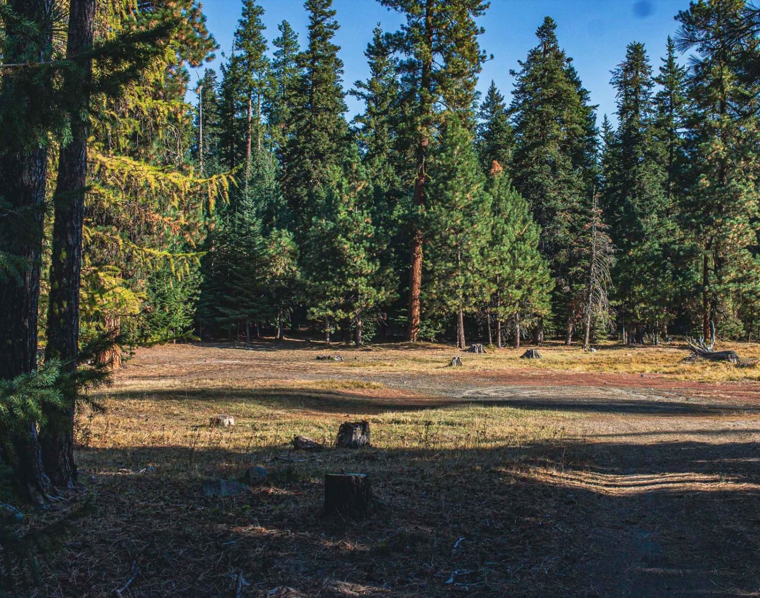
Trail Overview
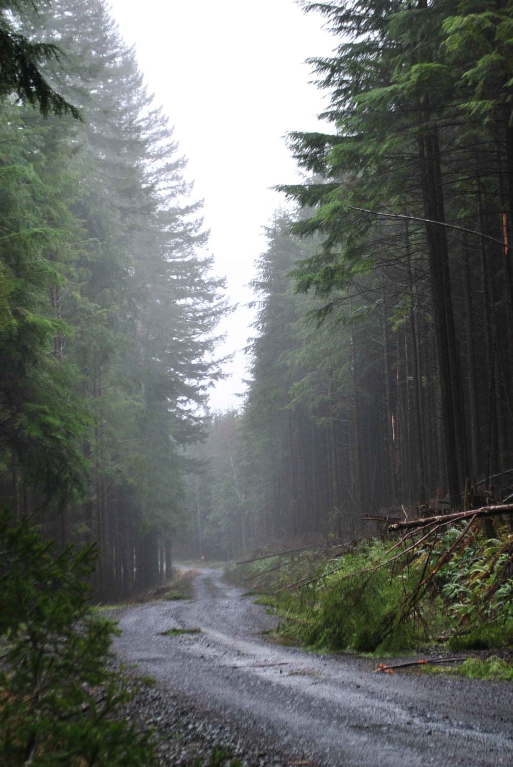
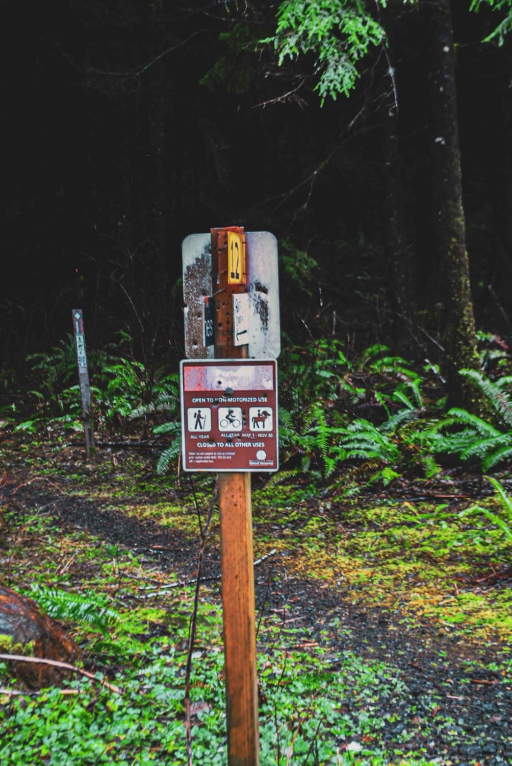
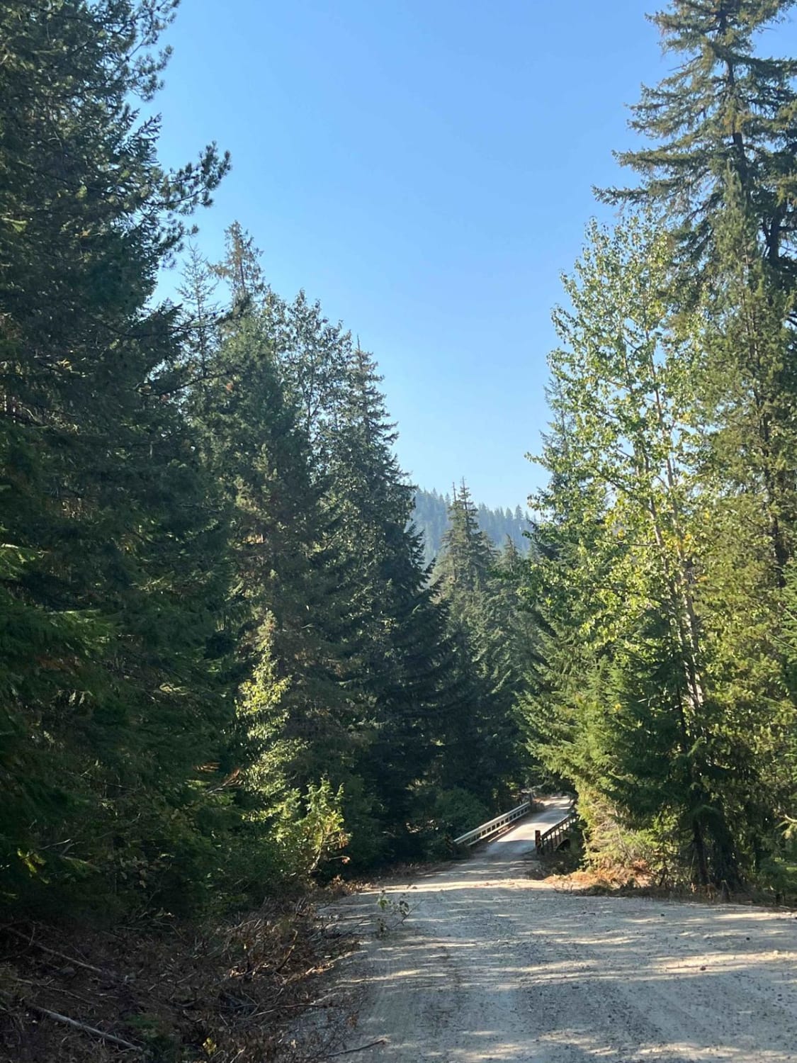
Deep in the middle of the 110,000-acre Capitol State Forest lies the C-Line Road, or the "C-Line Connector." Running east to west, this 6-mile trail section contains dozens of offshoots to other smaller trails leading to overlooks. On a clear day, these overlooks provide breathtaking views of the surrounding forest and valleys and are perfect for a picnic or soaking up some sun; on cloudy and foggy days, they can provide the perfect moody and rainforest backdrops for photos as well as some puddles to splash through. There are several points throughout the C-Line Road where walking, mountain biking, and horseback riding trails intersect, as well as some blind corners where you can't see oncoming vehicle traffic. Be mindful of your speed and your surroundings, keeping a close eye out for pedestrians as you navigate the trail. The trail surface is gravel varying in condition, ranging from hard and compact to some hills and corners being heavily washboarded. Potholes dot sections of this trail but are not nearly as widespread as other trails in the area. While airing down isn't necessary, if you have the equipment and time to air down and back up, it would greatly improve ride quality. Cell service is extremely sparse in this section of the trail unless you happen to be at the top of a hill or a wide opening with no trees around, so download your offline maps before entering the forest. A Washington State Discover Pass is required to access this land and dispersed camping is not permitted. The Capitol Forest is strictly for day-use/trips unless you reserve a spot in one of the Forest's designated campgrounds, so remember to always pack out what you pack in and stay on the marked designated trails.
Photos of C Line Connector - C Line Road
Difficulty
The trail surface is gravel varying in condition, ranging from hard and compact to some hills and corners being heavily washboarded. Potholes dot sections of this trail but are not nearly as widespread as other trails in the area. Airing down isn't necessary, but if you have the equipment and time to air down and back up, it would greatly improve ride quality.
Status Reports
C Line Connector - C Line Road can be accessed by the following ride types:
- High-Clearance 4x4
- SUV
C Line Connector - C Line Road Map
Popular Trails
Deer Camp Trail
Labyrinth Mountain
The onX Offroad Difference
onX Offroad combines trail photos, descriptions, difficulty ratings, width restrictions, seasonality, and more in a user-friendly interface. Available on all devices, with offline access and full compatibility with CarPlay and Android Auto. Discover what you’re missing today!