Trail Overview
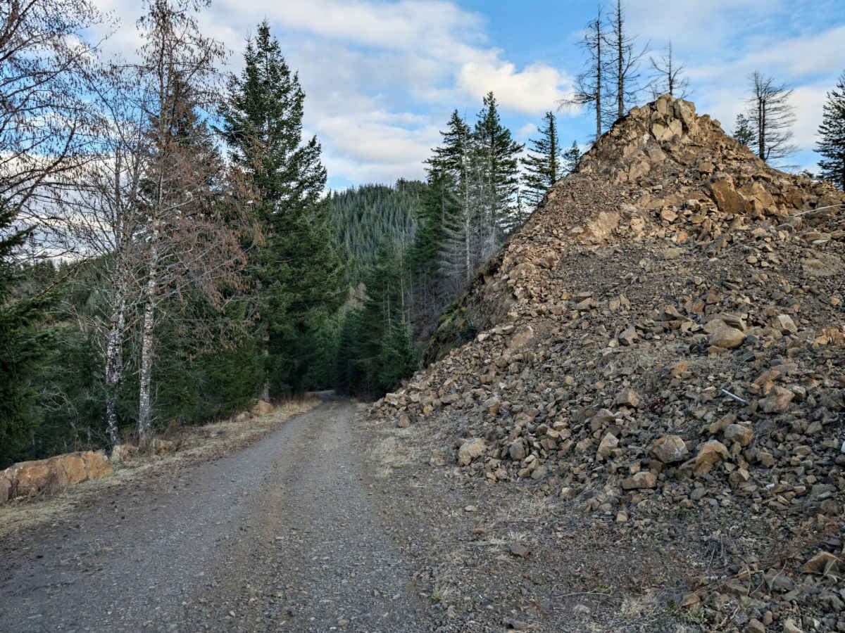
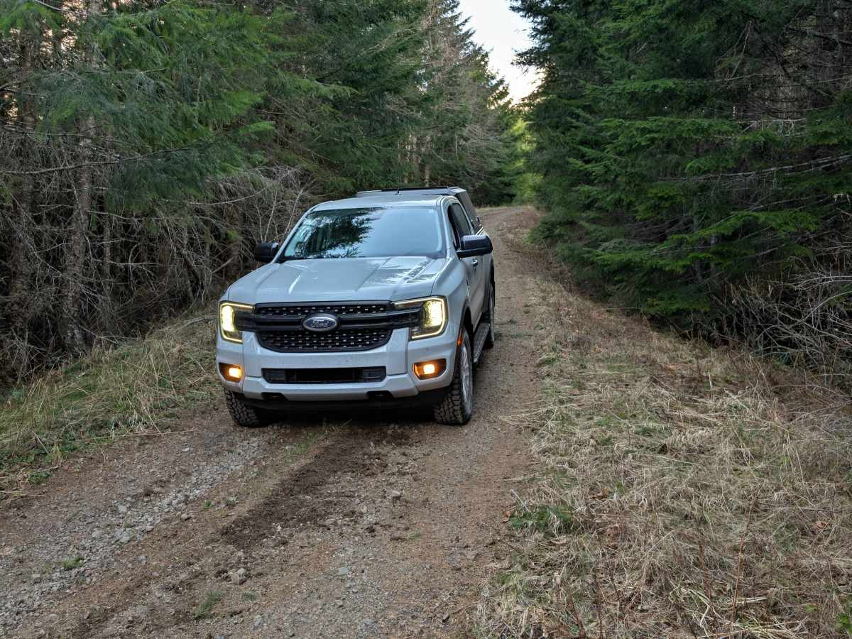
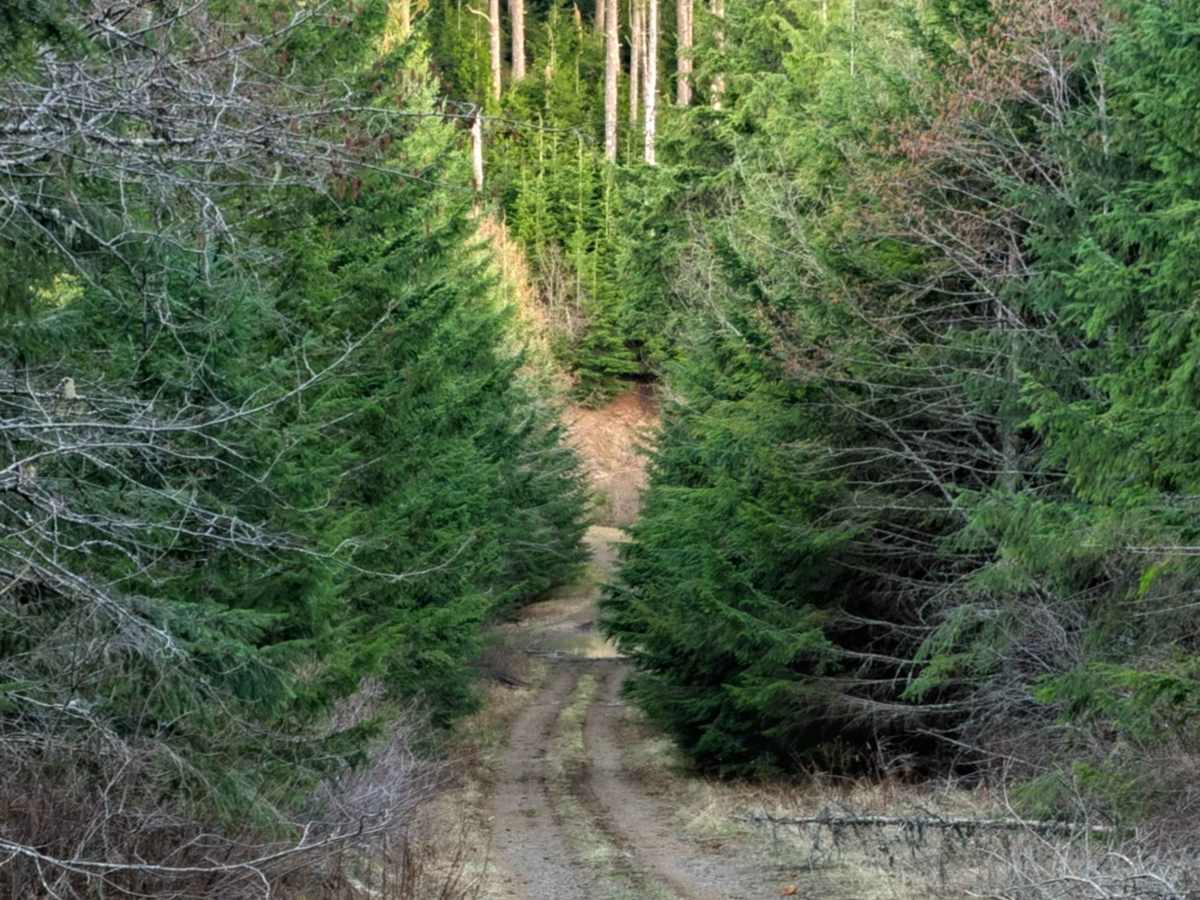
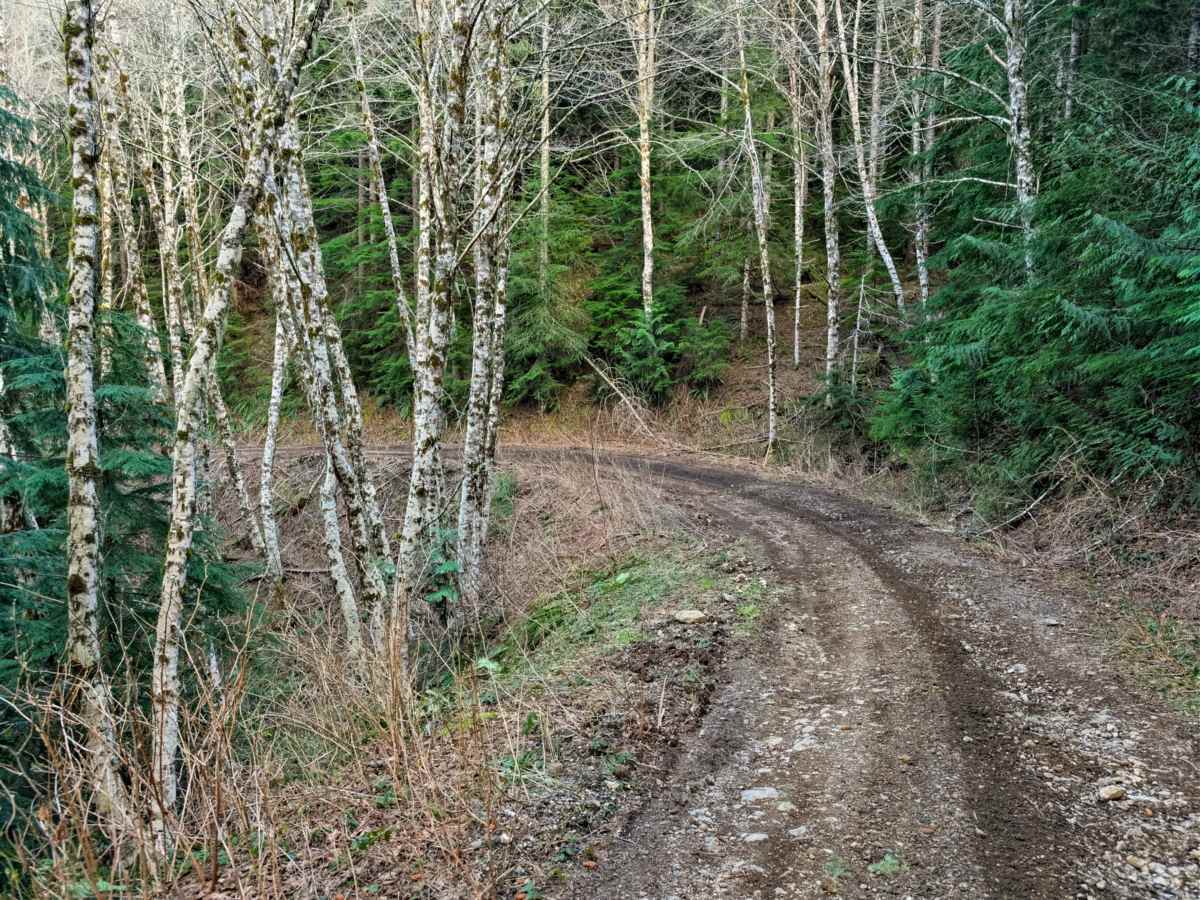
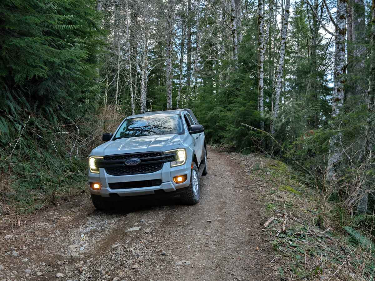
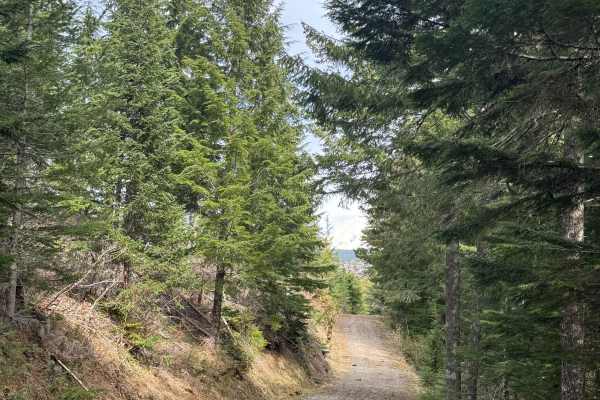
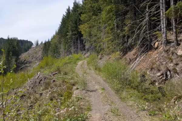
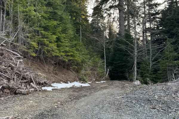
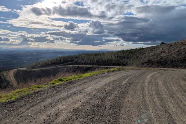
Bremer Mountain is a scenic, point-to-point route connecting Scale Shack on the west to River Road on the east. The western half begins as an easy, well-maintained dirt road featuring occasional mountain views, though visitors should remain alert for active logging operations. Aside from a few mud puddles and the road eventually narrowing to a single vehicle width, the climb up is mostly clear and straightforward. The terrain shifts as you reach the summit area, where a section of fist-sized rocks introduces minor obstacles that push the difficulty slightly above a baseline level one. This upper ridgeline rewards you with several incredible pull-outs offering expansive lookouts over the Cowlitz River valley and massive, unobstructed views of Mount Saint Helens. As you begin the descent down the eastern side toward River Road, the trail tightens up further but continues to offer a couple of scenic pull-outs overlooking the valley below. The final quarter of the route becomes noticeably rougher, as heavy logging activity has left the road torn up and unmaintained. Drivers will need to navigate slick mud, minor off-camber sections, and descents with up to a 13-degree slope, pushing this section firmly into a level two difficulty rating. Despite the rugged finish, this stretch is deeply immersive, taking you past several small waterfalls, running streams, and offering great opportunities to spot local wildlife like fox, skunk, and grouse.
Difficulty
The trail consists of dirt and rocky roads that are unmaintained in sections due to heavy logging activity. While the trail narrows to a single vehicle width with up to a 13-degree slope and slick mud, the physical obstacles are limited to fist-sized rocks and a couple of off-camber spots due to logging. No water crossings, heavy rutting, or obstacles found on Level 3+ trails. It is generally safe for most 4WD and high-clearance 2WD vehicles, though standard AWD crossovers may struggle on the steeper, muddy eastern descent. Be on the lookout for active logging signage.