Buck Creek N-1000 to Little Baldy Peak
Total Miles
8.2
Technical Rating
Best Time
Spring, Summer, Fall
Trail Type
Full-Width Road
Accessible By
Trail Overview
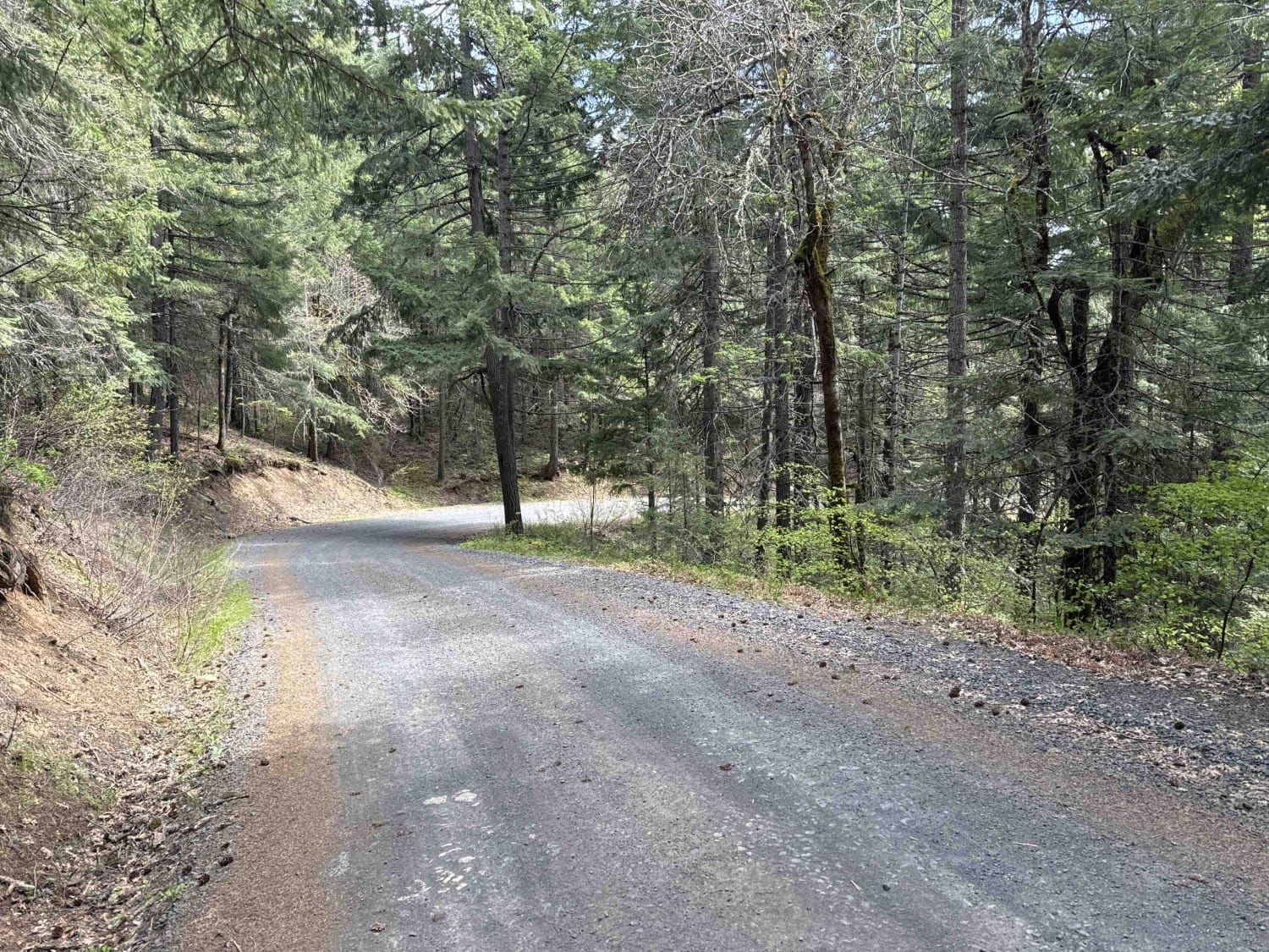
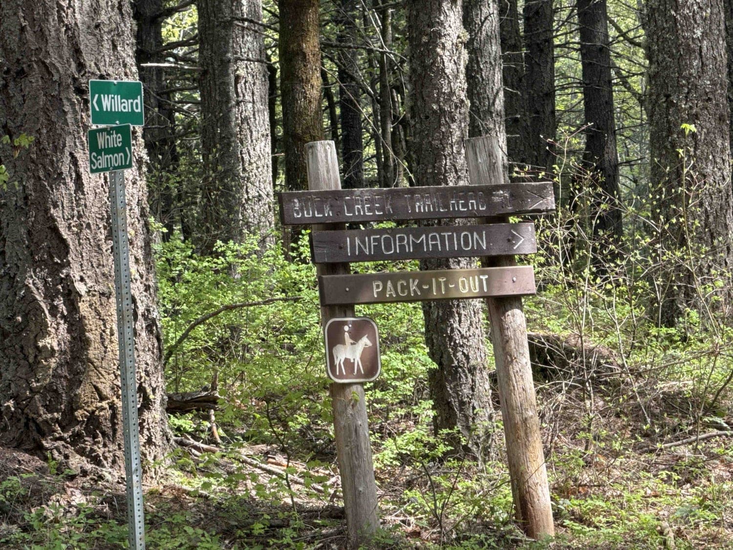
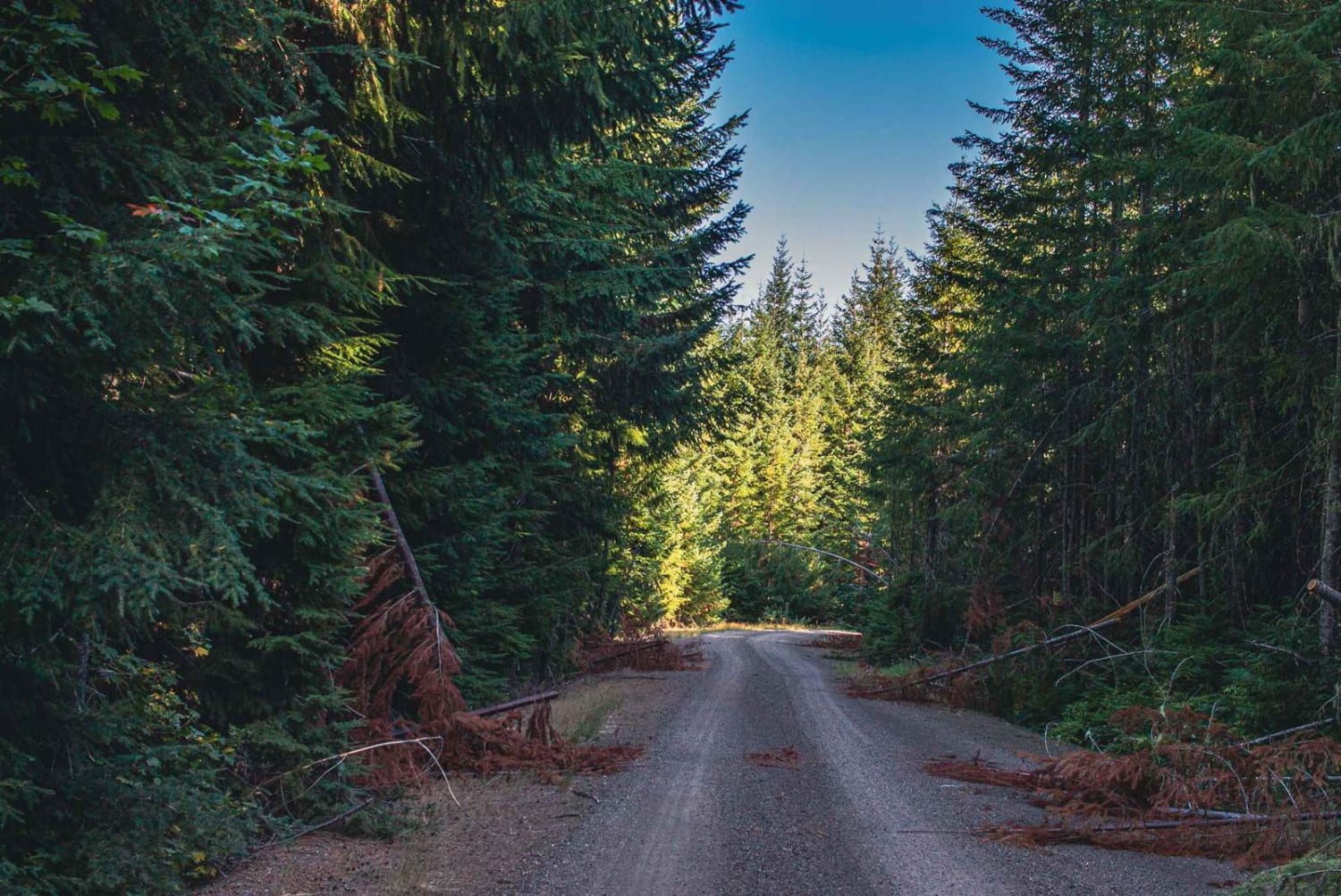
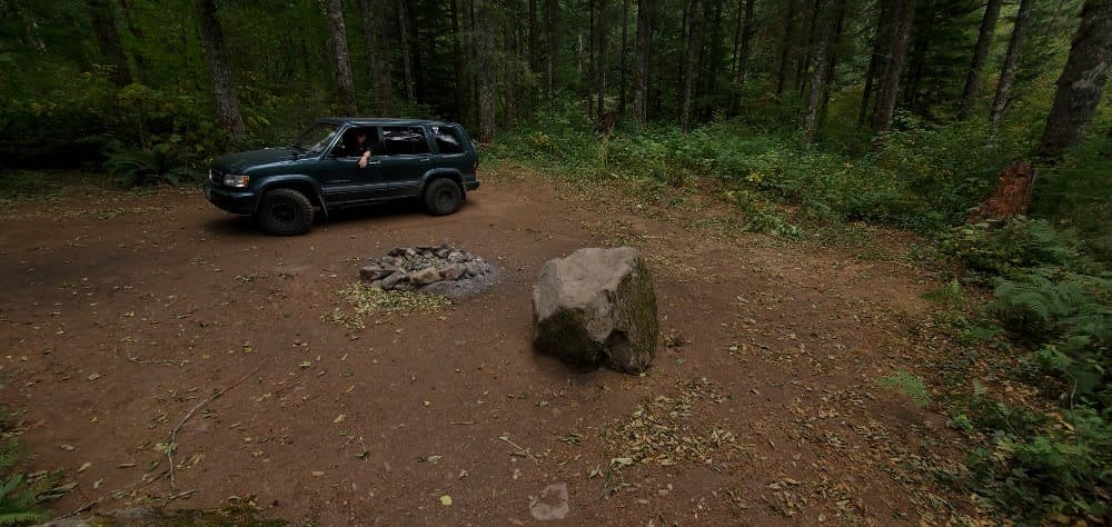
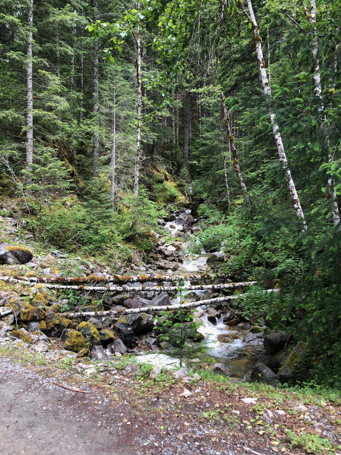
The journey begins with an opportunity to observe whitewater kayakers on the White Salmon River at Northwestern Park, providing a perfect spot to relax and enjoy the surroundings. Continuing west a short distance and turning left onto Nestor Peak Road/N-1000, the road ascends the ridge, passing through sharp blind curves. It eventually reaches the Buck Creek trail access, a popular spot for outdoor enthusiasts, including mountain bikers, hikers, and equestrians. Continuing upward, travelers encounter a "Y" intersection where they must bear left onto N-4000 towards Little Baldy Peak, with views of Mt. Hood and surrounding foothills offering stunning photo opportunities along the way.
Photos of Buck Creek N-1000 to Little Baldy Peak
Difficulty
This is a narrow winding road with sections of steep ascents, including many blind curves that can be slick when traveling during the winter season.
Status Reports
Buck Creek N-1000 to Little Baldy Peak can be accessed by the following ride types:
- High-Clearance 4x4
- SUV
- SxS (60")
- ATV (50")
- Dirt Bike
Buck Creek N-1000 to Little Baldy Peak Map
Popular Trails

Wildcat/Nisqually Loop Trail
Gentle Campers Offroad Creekside Drive
Middle Fork/Goldmeyer Rd
The onX Offroad Difference
onX Offroad combines trail photos, descriptions, difficulty ratings, width restrictions, seasonality, and more in a user-friendly interface. Available on all devices, with offline access and full compatibility with CarPlay and Android Auto. Discover what you’re missing today!