Big Meadow Creek Road
Total Miles
5.3
Technical Rating
Best Time
Spring, Summer, Fall
Trail Type
Full-Width Road
Accessible By
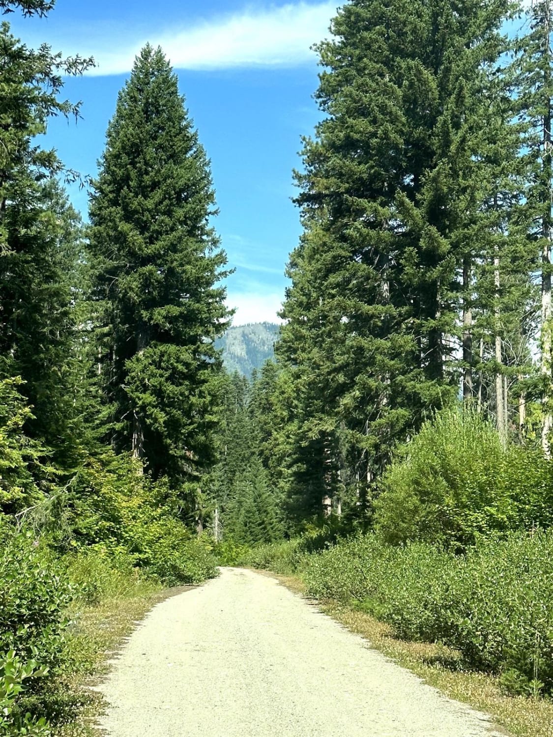
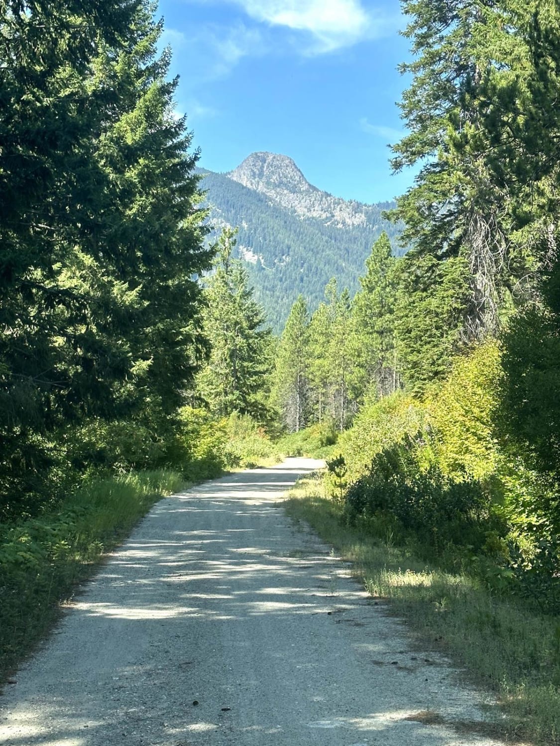
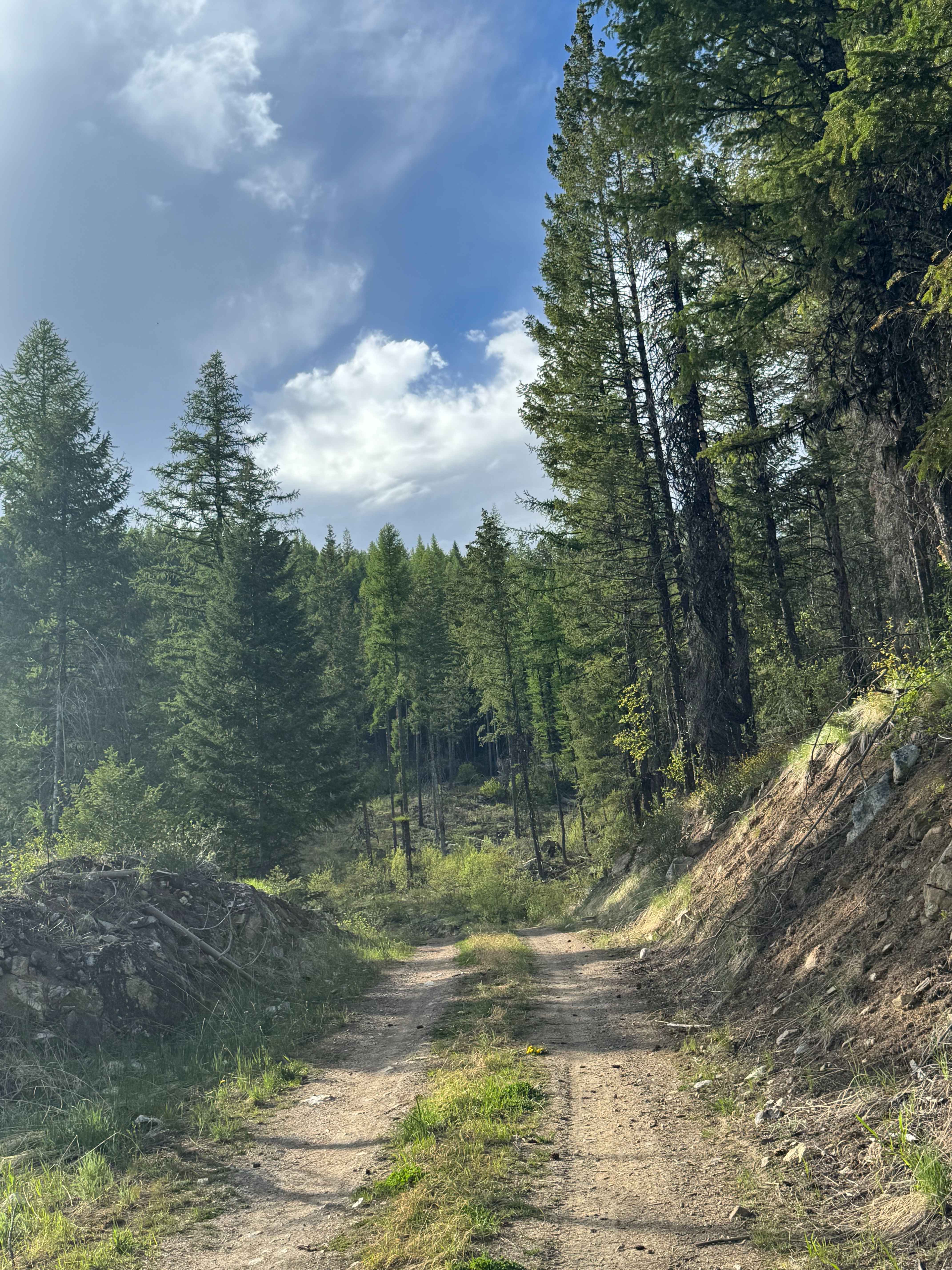
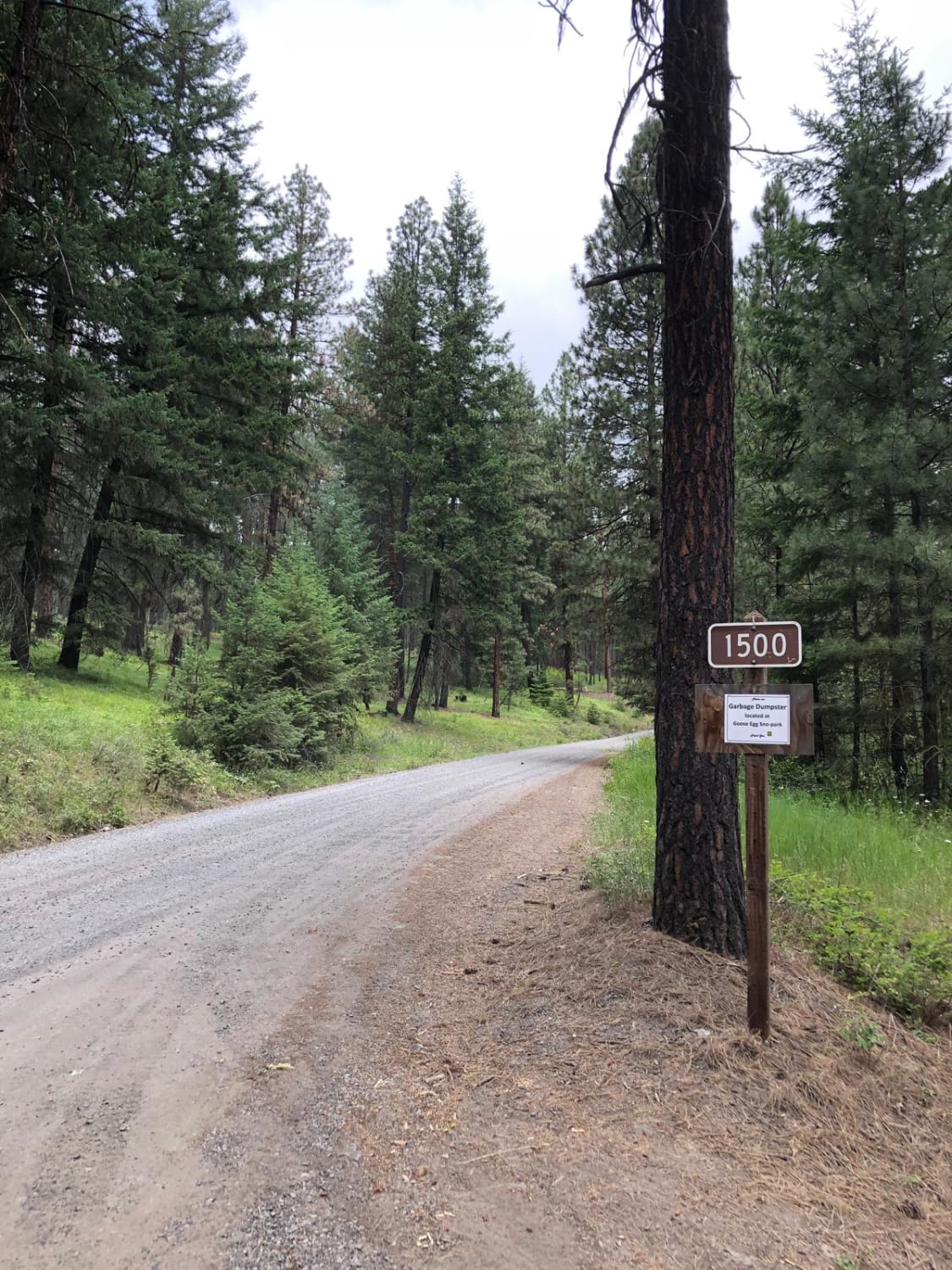
Trail Overview
This 10.8-mile out-and-back trail takes you up Big Meadow Creek Road. This trail used to go up to the Glacier Peak Wilderness area with a short hike (0.5 miles) to Twin Lakes. There is now a locked gate, which makes it a 2.5-mile hike to the lake. The drive up the valley is very scenic with beautiful views of the surrounding mountains.
Photos of Big Meadow Creek Road
Difficulty
There are several mud holes under 12 inches in depth along the trail.
Status Reports
Big Meadow Creek Road can be accessed by the following ride types:
- High-Clearance 4x4
- SUV
- SxS (60")
- ATV (50")
- Dirt Bike
Big Meadow Creek Road Map
Popular Trails

Veterans Trail
Bethel Ridge Road 15

The onX Offroad Difference
onX Offroad combines trail photos, descriptions, difficulty ratings, width restrictions, seasonality, and more in a user-friendly interface. Available on all devices, with offline access and full compatibility with CarPlay and Android Auto. Discover what you’re missing today!