Off-Road Trails in New Mexico
Discover off-road trails in New Mexico
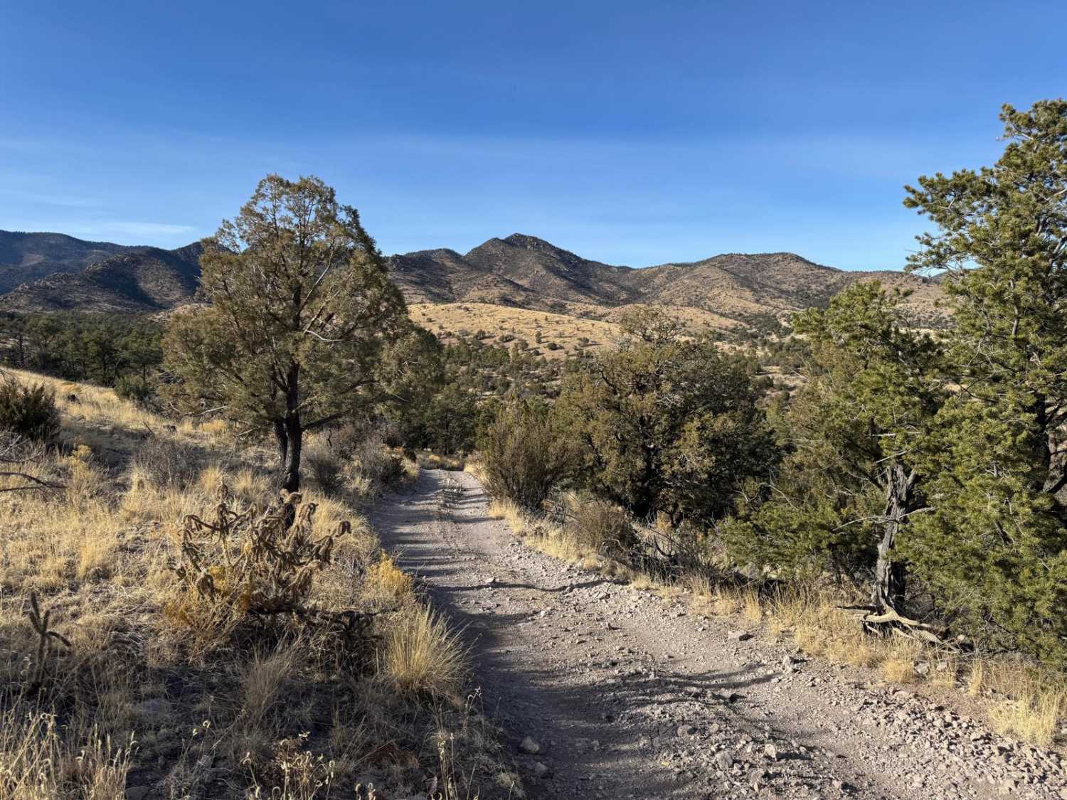
Learn more about FS 4033 F Continental Divide Trail access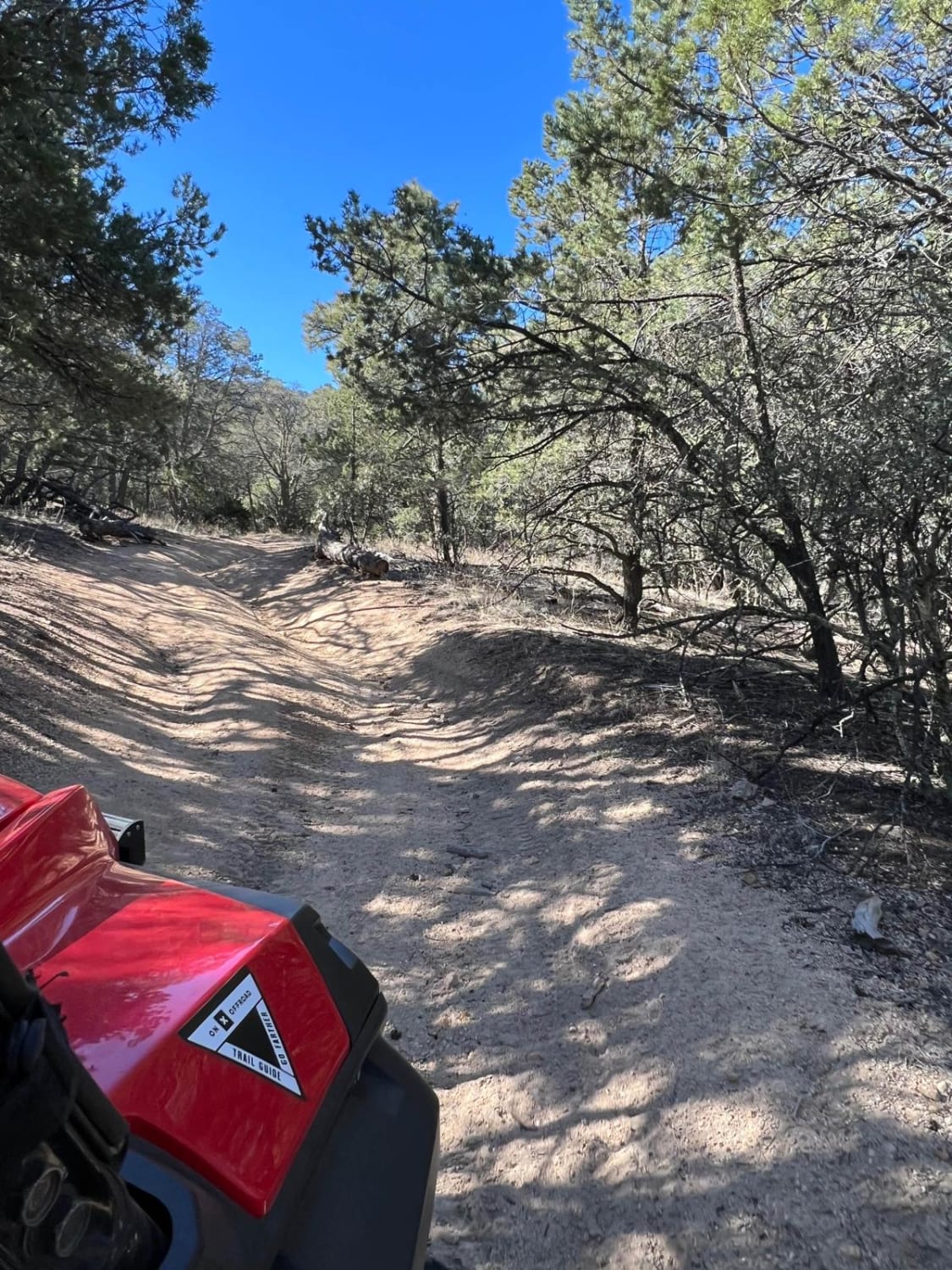
FS 4033 F Continental Divide Trail access
Total Miles
1.2
Tech Rating
Moderate
Best Time
Spring, Summer, Fall
Learn more about FS 4089 T Silver Dollar Mine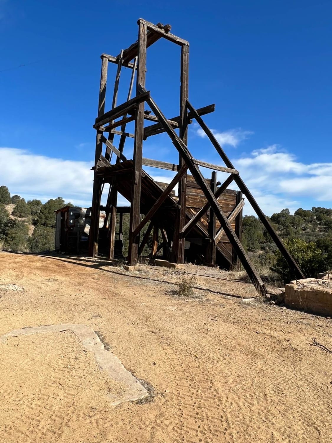
FS 4089 T Silver Dollar Mine
Total Miles
0.3
Tech Rating
Easy
Best Time
Spring, Summer, Fall
Learn more about FS 4090 B Evacuation Route
FS 4090 B Evacuation Route
Total Miles
0.4
Tech Rating
Easy
Best Time
Spring, Summer, Fall
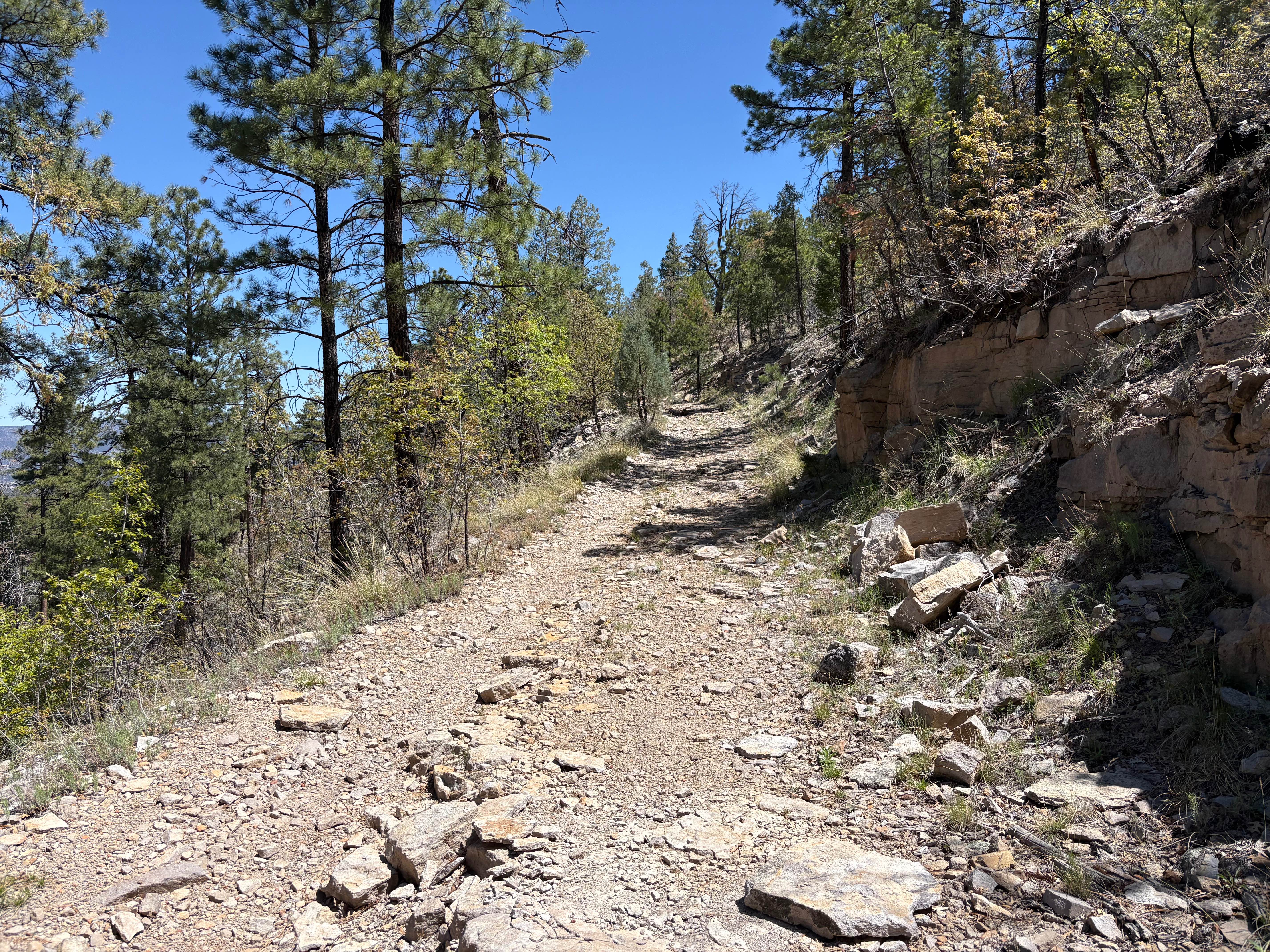
Learn more about FS 422 Priest Canyon
FS 422 Priest Canyon
Total Miles
16.3
Tech Rating
Easy
Best Time
Spring, Summer, Fall

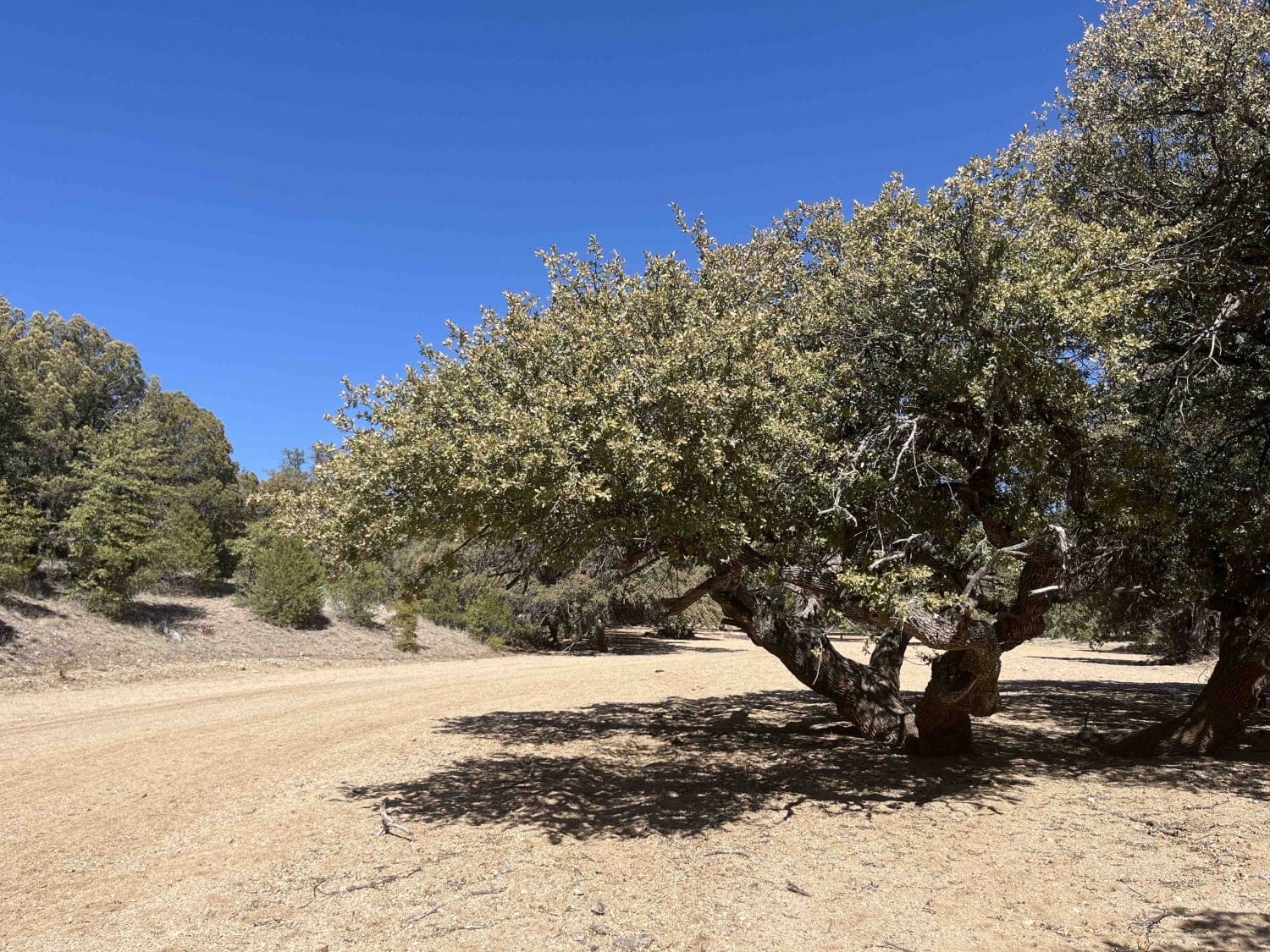
Learn more about FS 4248 Y Alligator Juniper Jungle
FS 4248 Y Alligator Juniper Jungle
Total Miles
1.1
Tech Rating
Easy
Best Time
Spring, Summer, Fall
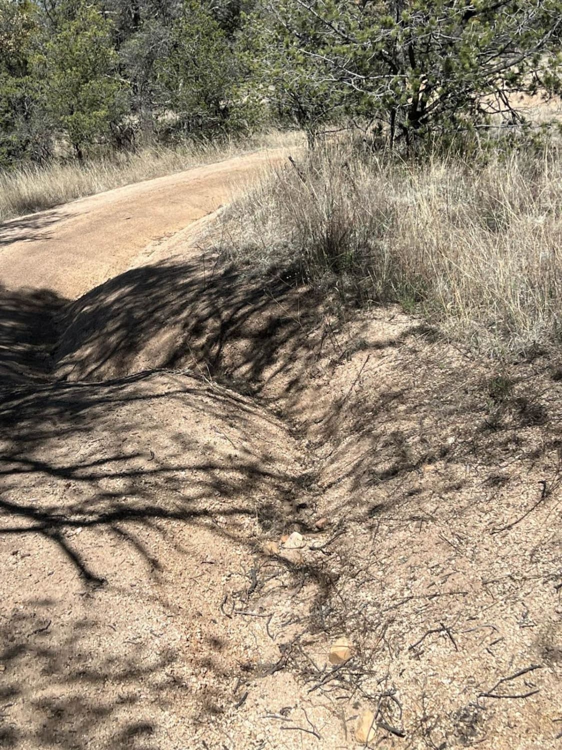
Learn more about FS 4250 R for Ruts
FS 4250 R for Ruts
Total Miles
0.9
Tech Rating
Difficult
Best Time
Fall, Summer, Spring
Learn more about FS 44 El Rito to Vallecitos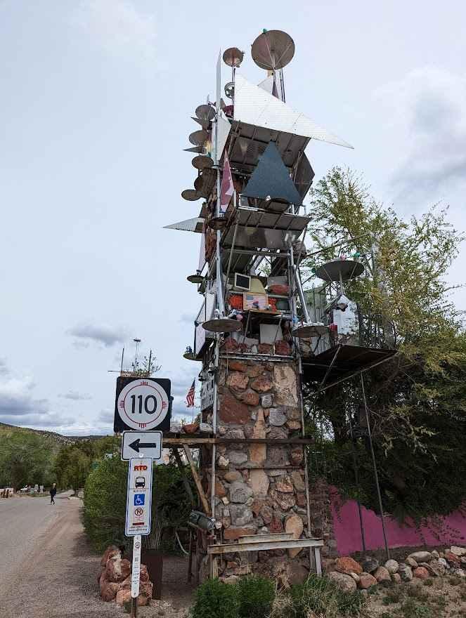
FS 44 El Rito to Vallecitos
Total Miles
16.0
Tech Rating
Easy
Best Time
Spring, Summer, Fall
Learn more about FS 45 Vallecitos to Petaca 
FS 45 Vallecitos to Petaca
Total Miles
11.9
Tech Rating
Easy
Best Time
Spring, Fall, Summer, Winter
Learn more about FS 55 Tajique Canyon
FS 55 Tajique Canyon
Total Miles
7.5
Tech Rating
Moderate
Best Time
Spring, Summer, Fall
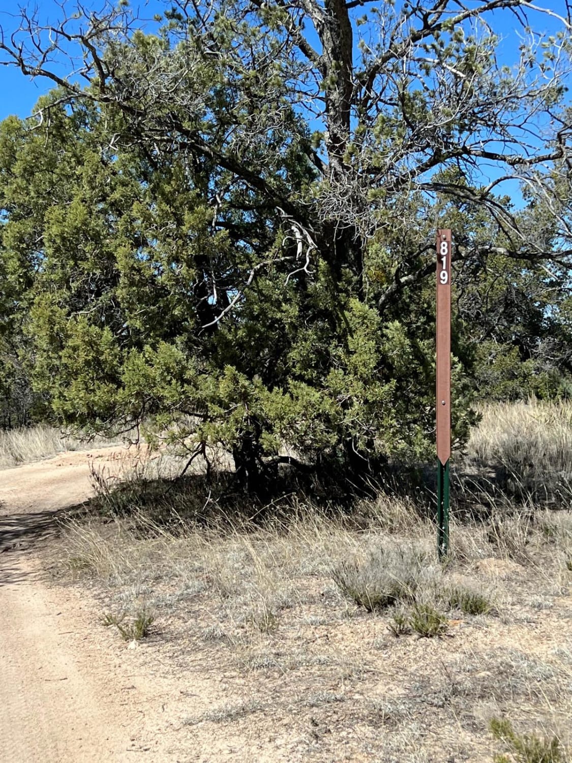
Learn more about FS 827 Deadman
FS 827 Deadman
Total Miles
0.8
Tech Rating
Easy
Best Time
Spring, Summer, Fall
Learn more about FS 836 Jacks Peak Road
FS 836 Jacks Peak Road
Total Miles
6.0
Tech Rating
Easy
Best Time
Spring, Summer, Fall
Learn more about FS 91 Old Tyrone Road
FS 91 Old Tyrone Road
Total Miles
0.8
Tech Rating
Easy
Best Time
Spring, Summer, Fall
Learn more about FS 911 Access
FS 911 Access
Total Miles
0.4
Tech Rating
Easy
Best Time
Spring, Summer, Fall
ATV trails in New Mexico
Learn more about 1000 Mile Canyon - FS 9216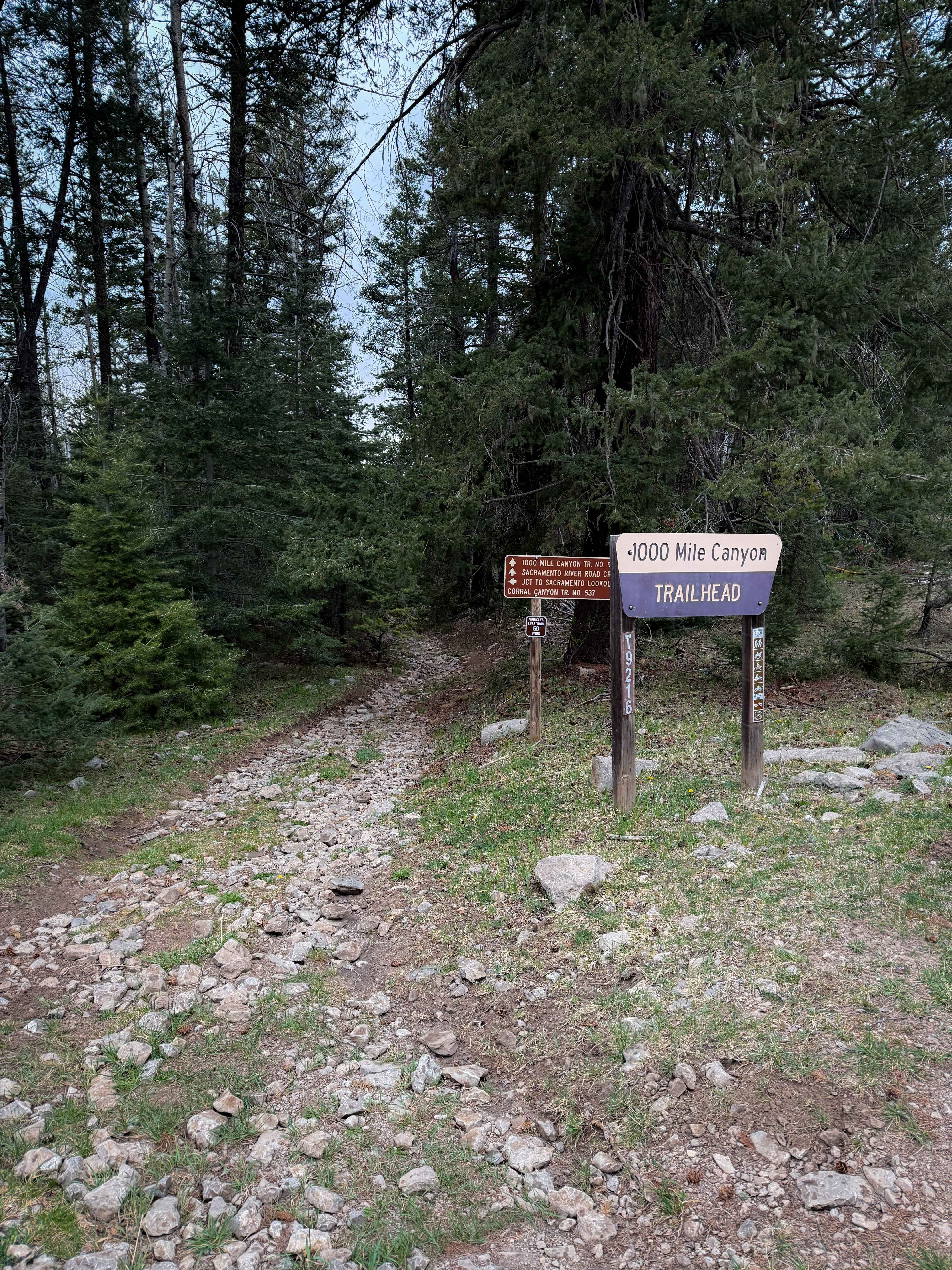
1000 Mile Canyon - FS 9216
Total Miles
1.5
Tech Rating
Moderate
Best Time
Summer, Spring, Fall
Learn more about 2nd Chance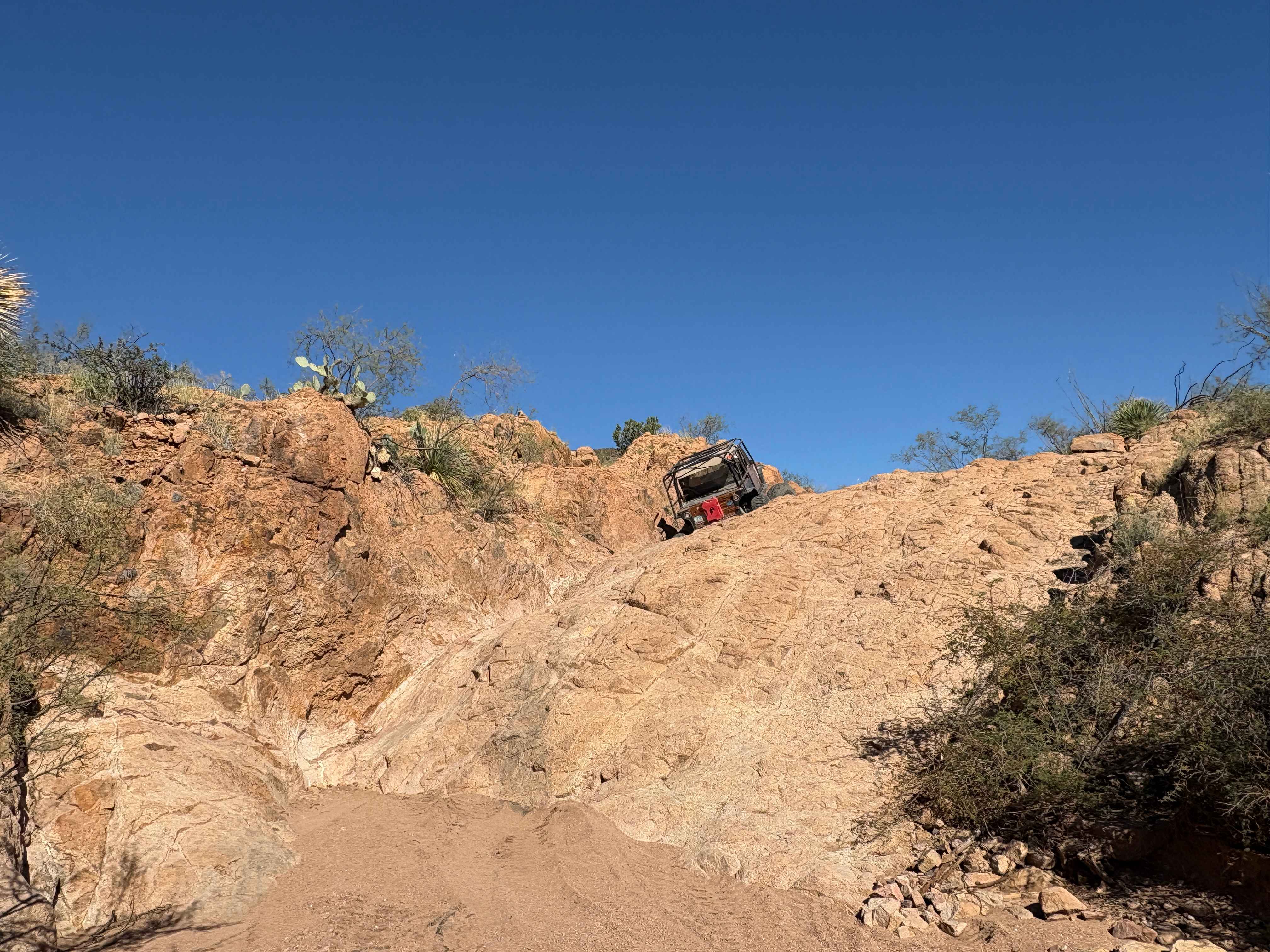
2nd Chance
Total Miles
0.2
Tech Rating
Difficult
Best Time
Summer, Fall, Winter, Spring
Learn more about 3 Stooges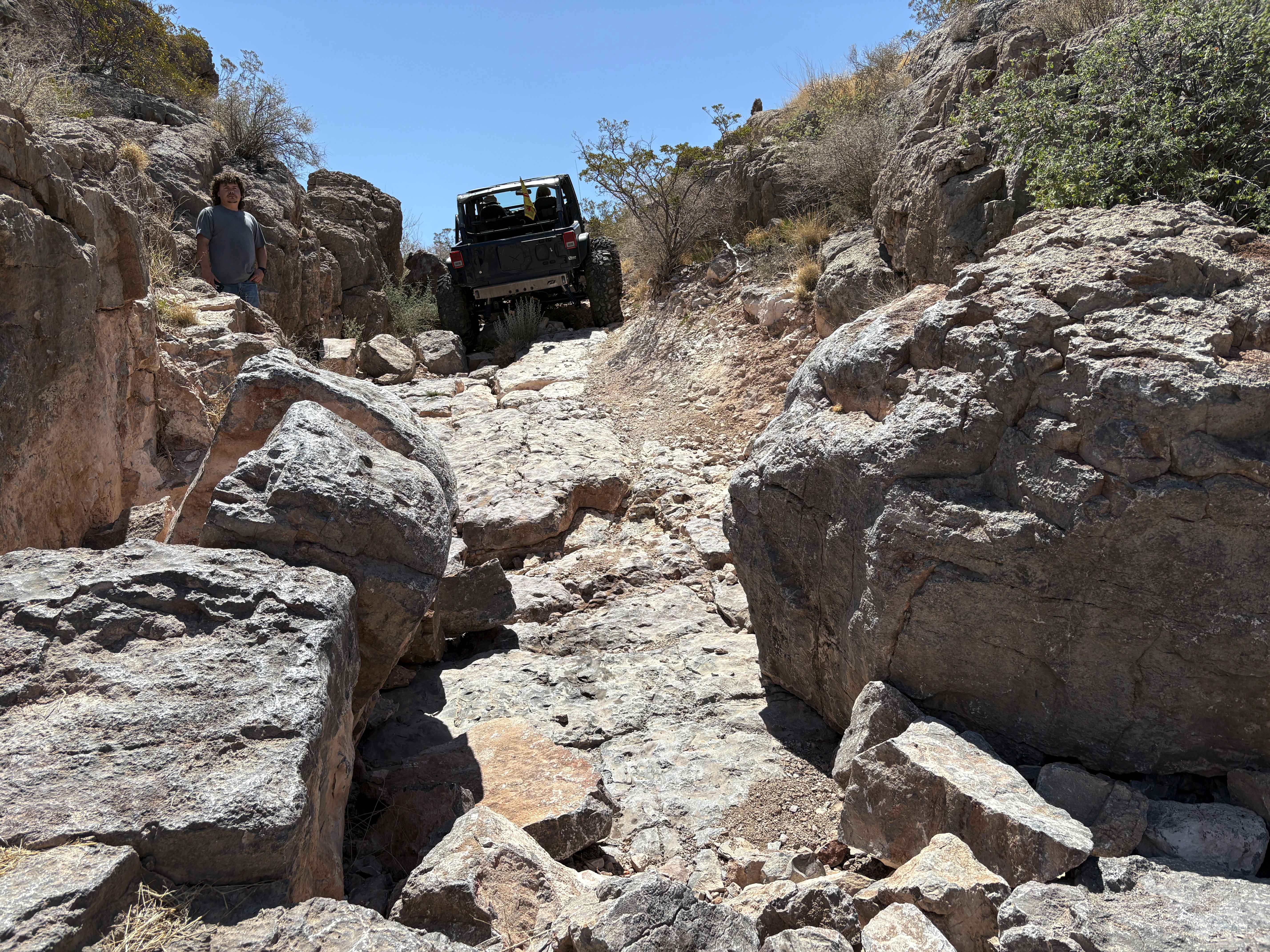
3 Stooges
Total Miles
0.1
Tech Rating
Difficult
Best Time
Spring, Summer, Fall, Winter
UTV/side-by-side trails in New Mexico
Learn more about 2nd Chance
2nd Chance
Total Miles
0.2
Tech Rating
Difficult
Best Time
Summer, Fall, Winter, Spring
Learn more about 3 Stooges
3 Stooges
Total Miles
0.1
Tech Rating
Difficult
Best Time
Spring, Summer, Fall, Winter

The onX Offroad Difference
onX Offroad combines trail photos, descriptions, difficulty ratings, width restrictions, seasonality, and more in a user-friendly interface. Available on all devices, with offline access and full compatibility with CarPlay and Android Auto. Discover what you’re missing today!