Off-Road Trails in New Mexico
Discover off-road trails in New Mexico
Learn more about Cow Creek Loop
Cow Creek Loop
Total Miles
4.6
Tech Rating
Moderate
Best Time
Spring, Summer, Fall, Winter
Learn more about Cox Canyon Arch
Cox Canyon Arch
Total Miles
4.4
Tech Rating
Easy
Best Time
Spring, Summer, Fall
Learn more about Coyote Canyon
Coyote Canyon
Total Miles
14.8
Tech Rating
Moderate
Best Time
Spring, Summer, Fall, Winter
Learn more about Coyote Cat ATV 
Coyote Cat ATV
Total Miles
3.3
Tech Rating
Easy
Best Time
Spring, Summer, Fall, Winter
Learn more about Coyote Exit
Coyote Exit
Total Miles
1.3
Tech Rating
Easy
Best Time
Spring, Summer, Winter, Fall
Learn more about Coyote Hills
Coyote Hills
Total Miles
1.0
Tech Rating
Difficult
Best Time
Spring, Summer, Fall, Winter
Learn more about Coyote Mesa Trail
Coyote Mesa Trail
Total Miles
3.0
Tech Rating
Easy
Best Time
Spring, Summer, Fall, Winter
Learn more about Coyote Split 
Coyote Split
Total Miles
1.9
Tech Rating
Moderate
Best Time
Spring, Fall, Winter
Learn more about Coyote Trail
Coyote Trail
Total Miles
3.4
Tech Rating
Moderate
Best Time
Spring, Summer, Fall
Learn more about Coyote-Chamisoso Link 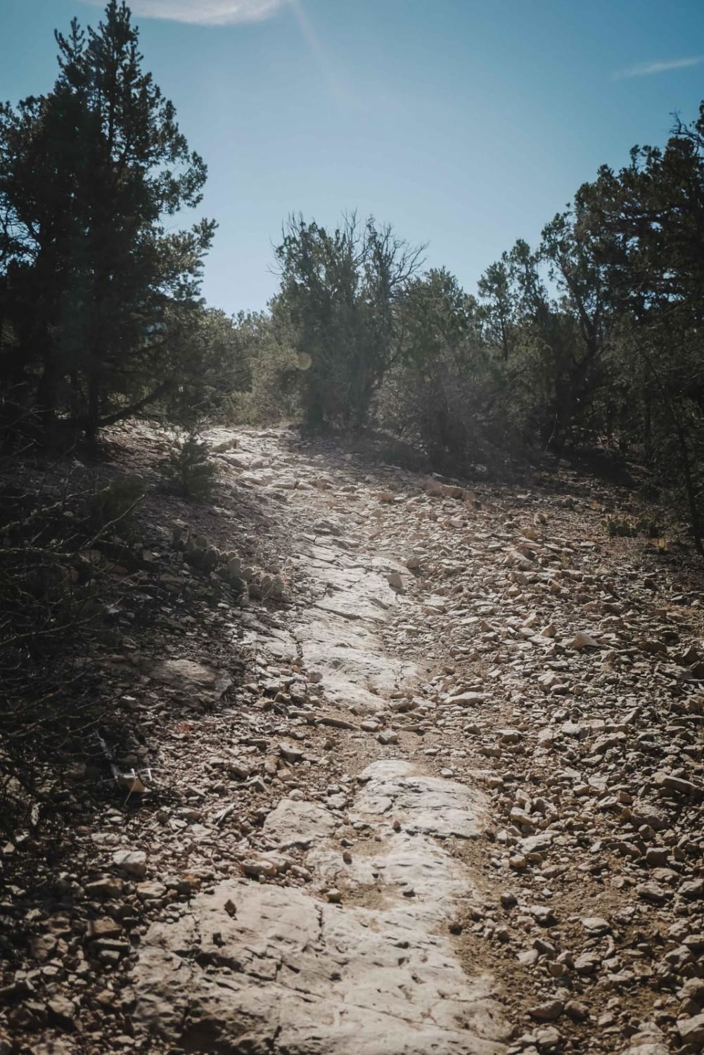
Coyote-Chamisoso Link
Total Miles
1.1
Tech Rating
Easy
Best Time
Spring, Fall, Winter
Learn more about Crooked Canyon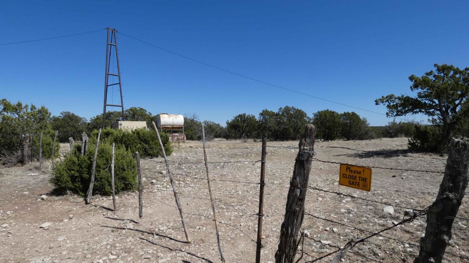
Crooked Canyon
Total Miles
4.5
Tech Rating
Easy
Best Time
Spring, Summer, Fall, Winter
Learn more about Crosby Canyon FS66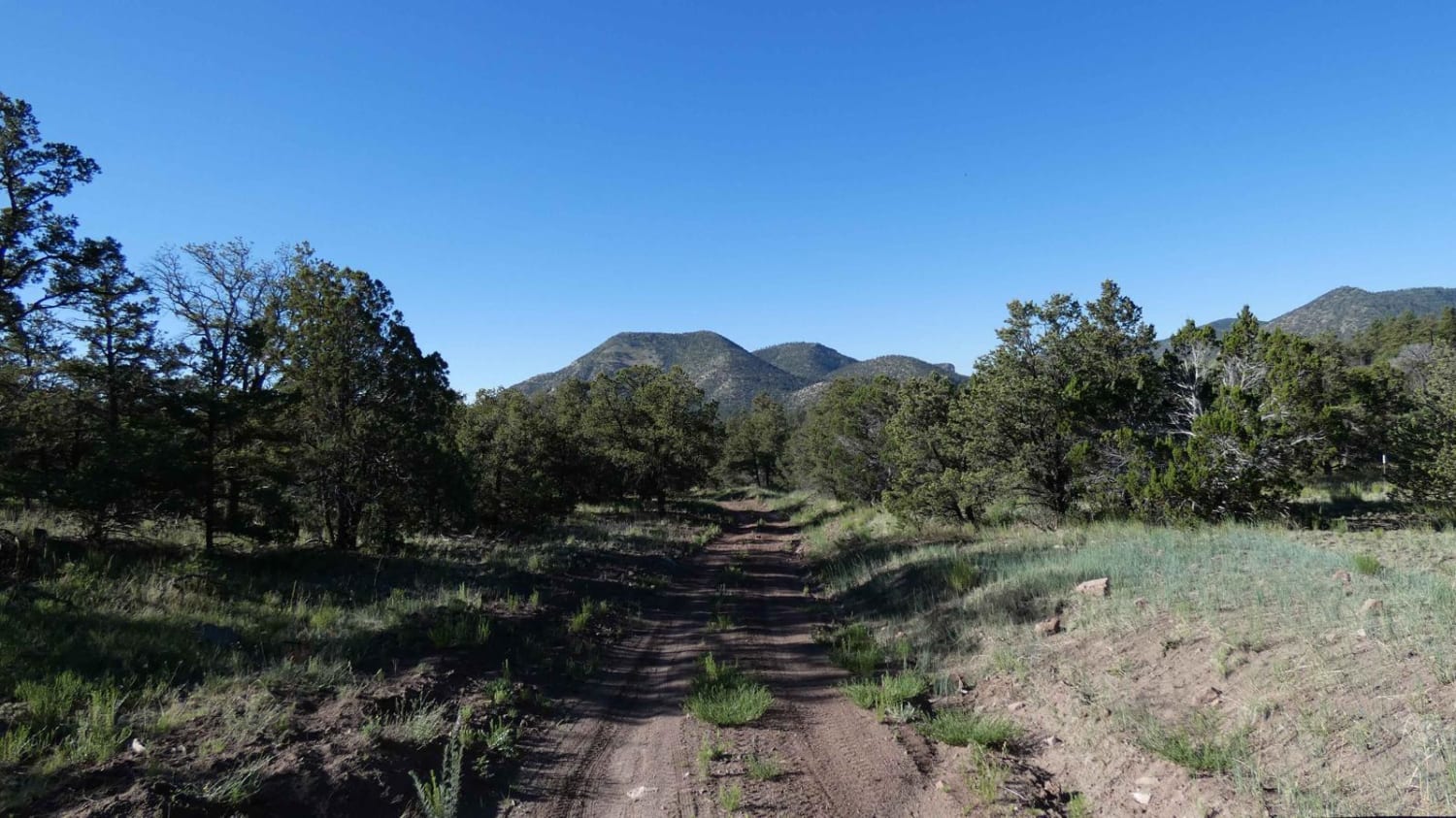
Crosby Canyon FS66
Total Miles
6.5
Tech Rating
Easy
Best Time
Spring, Summer, Fall, Winter
Learn more about Crouch Mesa
Crouch Mesa
Total Miles
13.6
Tech Rating
Easy
Best Time
Spring, Summer, Fall, Winter
Learn more about Crow Canyon Option
Crow Canyon Option
Total Miles
4.8
Tech Rating
Easy
Best Time
Spring, Summer, Winter, Fall
Learn more about Crow Canyon Overlook/Road 550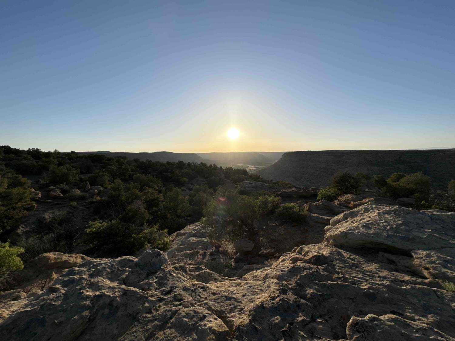
Crow Canyon Overlook/Road 550
Total Miles
8.6
Tech Rating
Easy
Best Time
Spring, Summer, Fall, Winter
Learn more about Curtis Canyon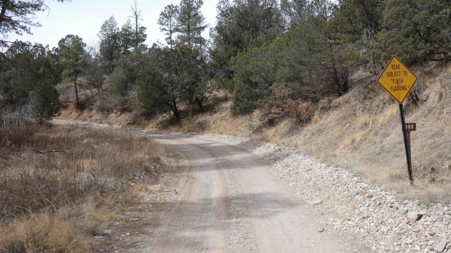
Curtis Canyon
Total Miles
5.2
Tech Rating
Easy
Best Time
Spring, Summer, Fall, Winter
Learn more about Cutter Dam
Cutter Dam
Total Miles
2.5
Tech Rating
Easy
Best Time
Spring, Summer, Fall, Winter
ATV trails in New Mexico
Learn more about 1000 Mile Canyon - FS 9216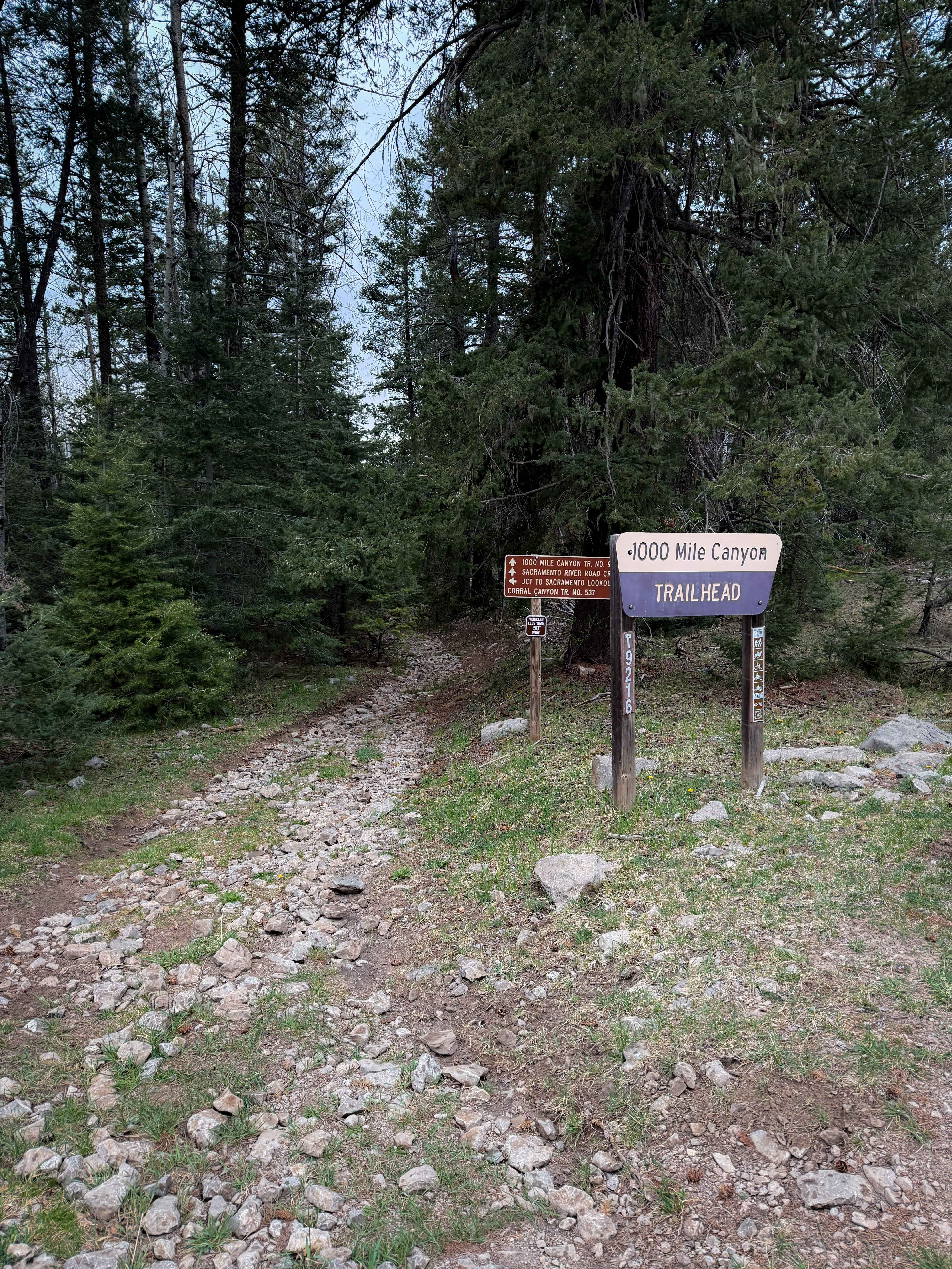
1000 Mile Canyon - FS 9216
Total Miles
1.5
Tech Rating
Moderate
Best Time
Summer, Spring, Fall
Learn more about 2nd Chance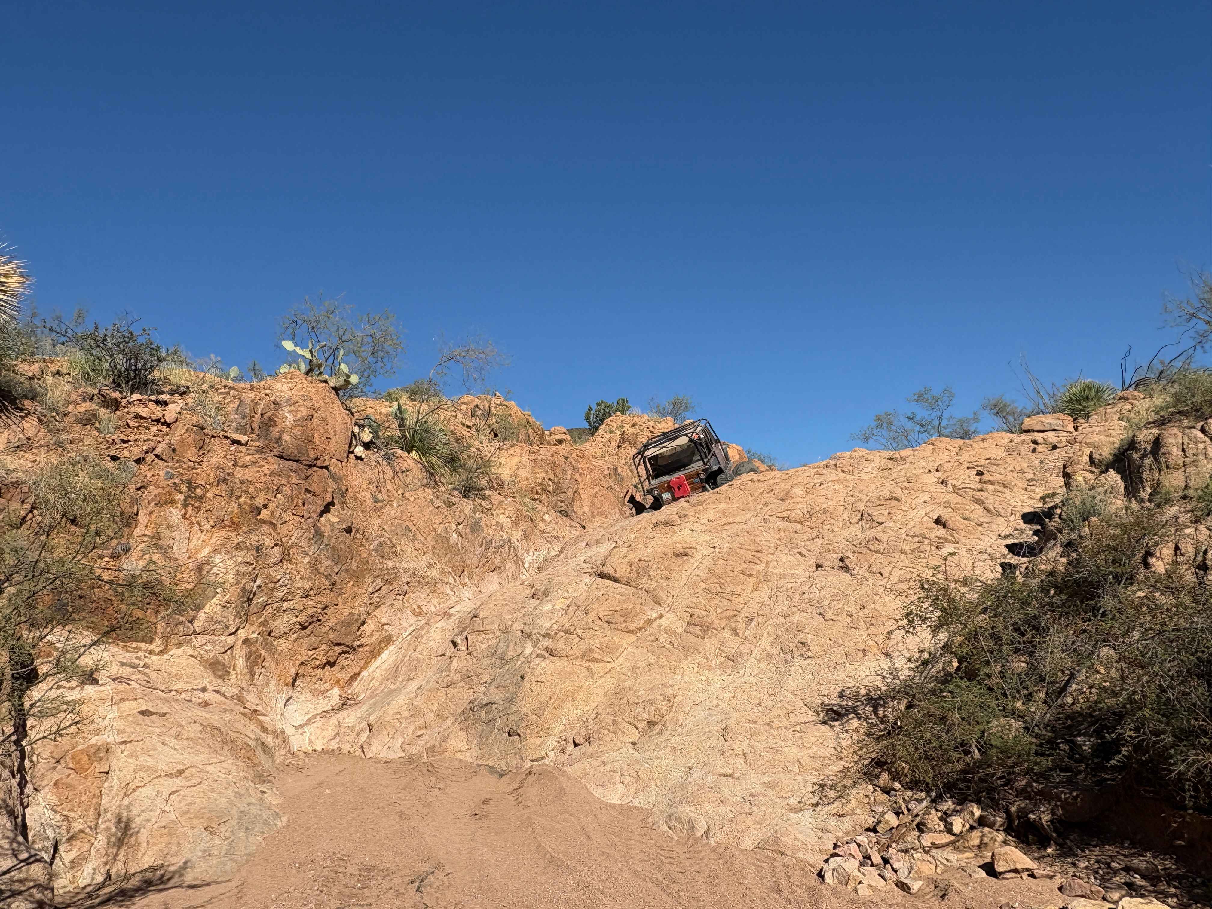
2nd Chance
Total Miles
0.2
Tech Rating
Difficult
Best Time
Summer, Fall, Winter, Spring
Learn more about 3 Stooges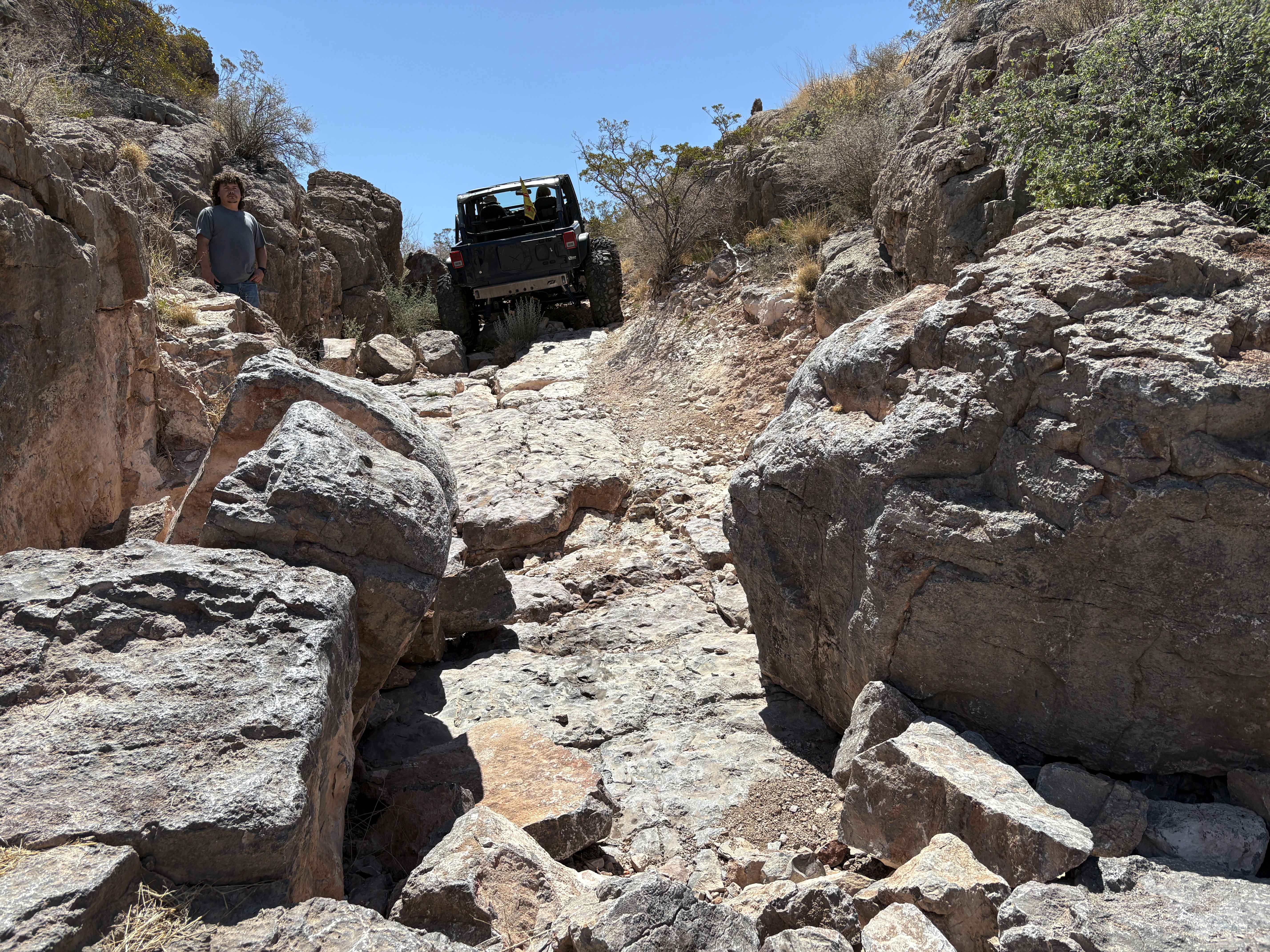
3 Stooges
Total Miles
0.1
Tech Rating
Difficult
Best Time
Spring, Summer, Fall, Winter
UTV/side-by-side trails in New Mexico
Learn more about 2nd Chance
2nd Chance
Total Miles
0.2
Tech Rating
Difficult
Best Time
Summer, Fall, Winter, Spring
Learn more about 3 Stooges
3 Stooges
Total Miles
0.1
Tech Rating
Difficult
Best Time
Spring, Summer, Fall, Winter

The onX Offroad Difference
onX Offroad combines trail photos, descriptions, difficulty ratings, width restrictions, seasonality, and more in a user-friendly interface. Available on all devices, with offline access and full compatibility with CarPlay and Android Auto. Discover what you’re missing today!