Off-Road Trails in New Mexico
Discover off-road trails in New Mexico
Learn more about Carracas Mesa/ NFS 218
Carracas Mesa/ NFS 218
Total Miles
13.0
Tech Rating
Easy
Best Time
Spring, Summer, Fall
Learn more about Casanova Mount Wash 
Casanova Mount Wash
Total Miles
1.6
Tech Rating
Easy
Best Time
Spring, Fall, Summer, Winter
Learn more about Cedar Springs Loop
Cedar Springs Loop
Total Miles
7.0
Tech Rating
Easy
Best Time
Spring, Summer, Fall
Learn more about Cedro Peak
Cedro Peak
Total Miles
4.8
Tech Rating
Moderate
Best Time
Spring, Summer, Fall, Winter
Learn more about Cedro Peak Loop via FR 542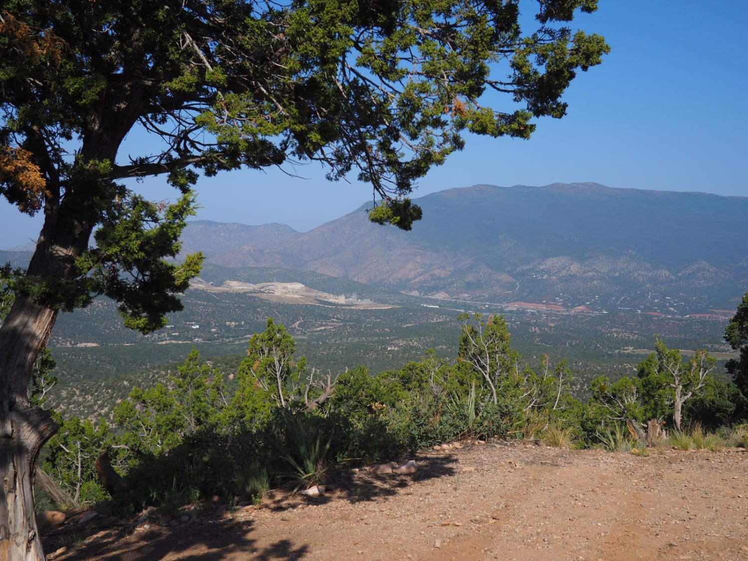
Cedro Peak Loop via FR 542
Total Miles
2.9
Tech Rating
Easy
Best Time
Spring, Summer, Fall, Winter
Learn more about Cerro Encinoso Loop
Cerro Encinoso Loop
Total Miles
6.7
Tech Rating
Easy
Best Time
Spring, Summer, Fall, Winter
Learn more about Cerro Pelon Base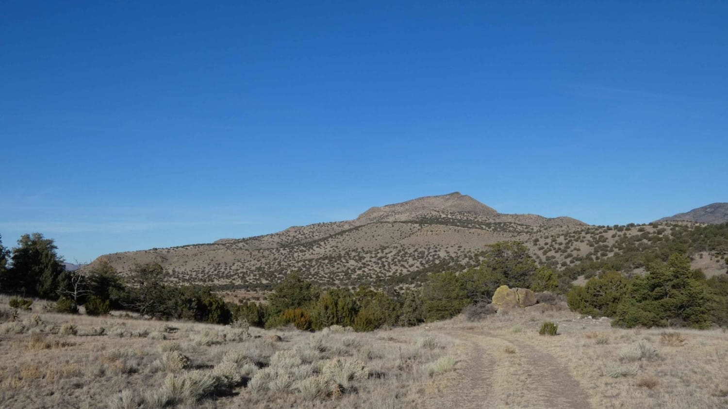
Cerro Pelon Base
Total Miles
3.2
Tech Rating
Easy
Best Time
Spring, Summer, Fall, Winter
Learn more about Chaco Canyon to Kin Klizhin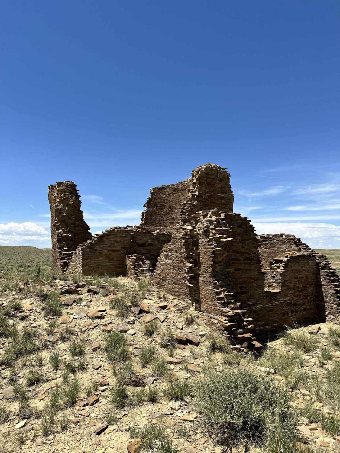
Chaco Canyon to Kin Klizhin
Total Miles
23.0
Tech Rating
Easy
Best Time
Spring, Fall, Summer
Learn more about Chaco Overlook
Chaco Overlook
Total Miles
1.1
Tech Rating
Easy
Best Time
Spring, Winter, Fall
Learn more about Chain of Craters Backcountry Byway 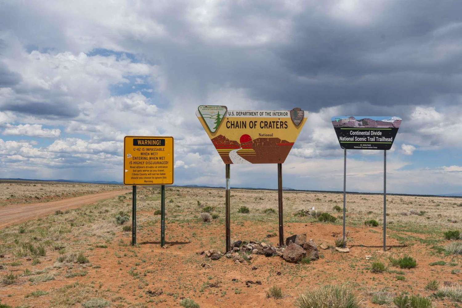
Chain of Craters Backcountry Byway
Total Miles
28.1
Tech Rating
Easy
Best Time
Summer, Fall, Spring
Learn more about Chama Canyon
Chama Canyon
Total Miles
12.9
Tech Rating
Easy
Best Time
Summer, Fall, Winter, Spring
Learn more about Chama Canyon Cliffside Loop
Chama Canyon Cliffside Loop
Total Miles
1.5
Tech Rating
Easy
Best Time
Spring, Summer, Fall, Winter
Learn more about Chimney Lake to Angel Canyon (FS176)
Chimney Lake to Angel Canyon (FS176)
Total Miles
9.4
Tech Rating
Easy
Best Time
Spring, Summer, Fall, Winter
Learn more about Chloride Canyon
Chloride Canyon
Total Miles
157.7
Tech Rating
Moderate
Best Time
Spring, Summer, Fall
Learn more about Choke Cherry ATV 
Choke Cherry ATV
Total Miles
2.9
Tech Rating
Easy
Best Time
Spring, Summer, Fall, Winter
Learn more about Chupaderos Connector
Chupaderos Connector
Total Miles
1.2
Tech Rating
Easy
Best Time
Summer, Winter, Fall, Spring
ATV trails in New Mexico
Learn more about 1000 Mile Canyon - FS 9216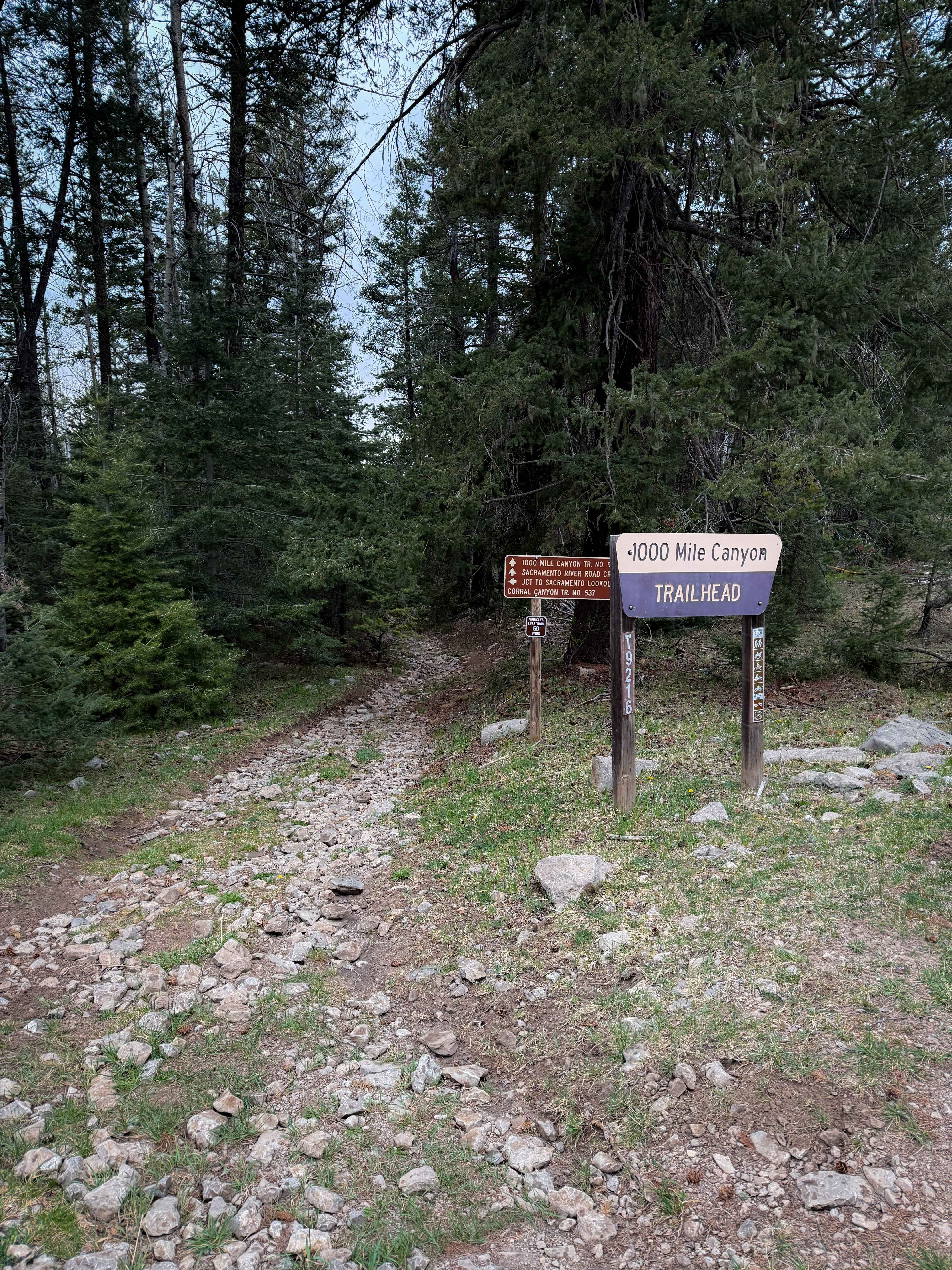
1000 Mile Canyon - FS 9216
Total Miles
1.5
Tech Rating
Moderate
Best Time
Summer, Spring, Fall
Learn more about 2nd Chance
2nd Chance
Total Miles
0.2
Tech Rating
Difficult
Best Time
Summer, Fall, Winter, Spring
Learn more about 3 Stooges
3 Stooges
Total Miles
0.1
Tech Rating
Difficult
Best Time
Spring, Summer, Fall, Winter
UTV/side-by-side trails in New Mexico
Learn more about 2nd Chance
2nd Chance
Total Miles
0.2
Tech Rating
Difficult
Best Time
Summer, Fall, Winter, Spring
Learn more about 3 Stooges
3 Stooges
Total Miles
0.1
Tech Rating
Difficult
Best Time
Spring, Summer, Fall, Winter

The onX Offroad Difference
onX Offroad combines trail photos, descriptions, difficulty ratings, width restrictions, seasonality, and more in a user-friendly interface. Available on all devices, with offline access and full compatibility with CarPlay and Android Auto. Discover what you’re missing today!