Coyote Split
Total Miles
1.9
Technical Rating
Best Time
Spring, Fall, Winter
Trail Type
Single Track
Accessible By
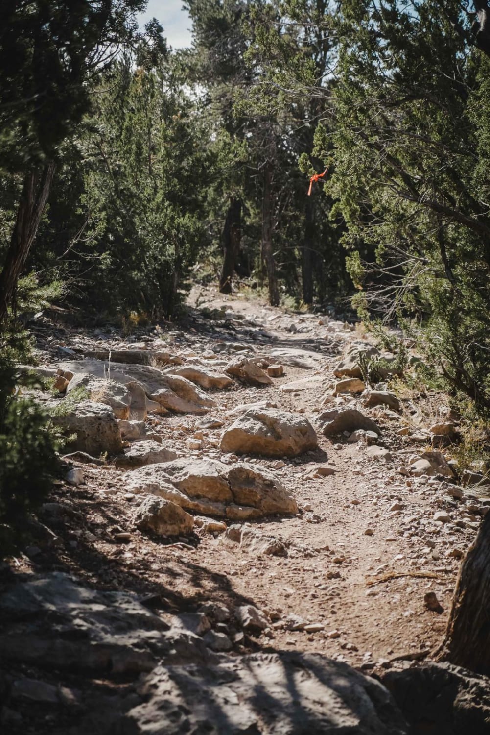
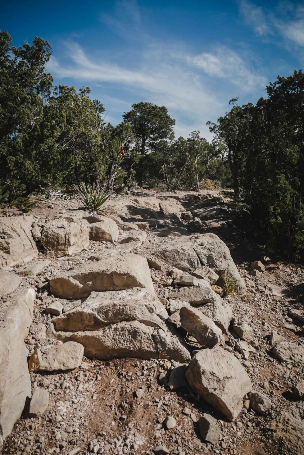
Trail Overview
Coyote Split is a 2-mile single track that connects the Coyote Trail to the Chamisoso Trail. It's narrow and shelfy at times, with loose rock and embedded slab rock ledges in the dirt trail. It goes along the top of a mesa and drops down off of the mesa into a flat and grassy meadow at the intersection with Chamisoso. A couple of the slab rock ledges are more diagonal across the trail which is slightly trickier, but most of the obstacles are like ramps, so they aren't too difficult. The trail has a lot of tight turns through the pinyon pine trees on a pretty bumpy trail. Watch out so a loose rock doesn't ping your handlebars into the trees! The trail also crosses Jeep Road 462, and there are pinch points on each end.
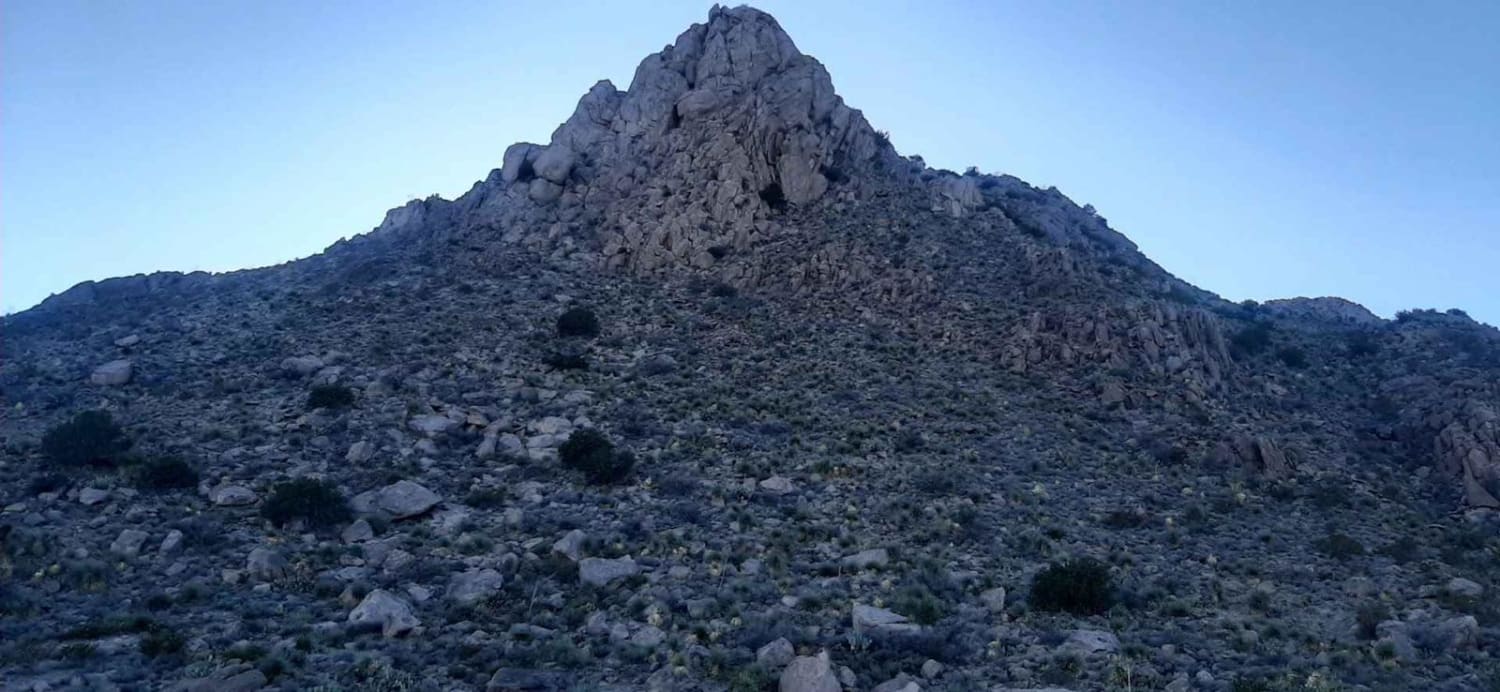
Photos of Coyote Split
Difficulty
This is an intermediate single track with moderate obstacles such as small rock stair steps and ledges and very curvy tight turns.
Coyote Split can be accessed by the following ride types:
- Dirt Bike
Coyote Split Map
Popular Trails
Ladron Wilderness Shortcut
Chain of Craters Backcountry Byway
Nalgas Rock Overlook via Powerline Road

Anna's Ridge
The onX Offroad Difference
onX Offroad combines trail photos, descriptions, difficulty ratings, width restrictions, seasonality, and more in a user-friendly interface. Available on all devices, with offline access and full compatibility with CarPlay and Android Auto. Discover what you’re missing today!