
Off-Road Trails in New Mexico
Discover off-road trails in New Mexico
Off-Road Trails in New Mexico
Discover the best off-road trails in New Mexico. Browse trail maps, check difficulty ratings, and find your next adventure — whether you're looking for a quick ride or an all-day expedition.
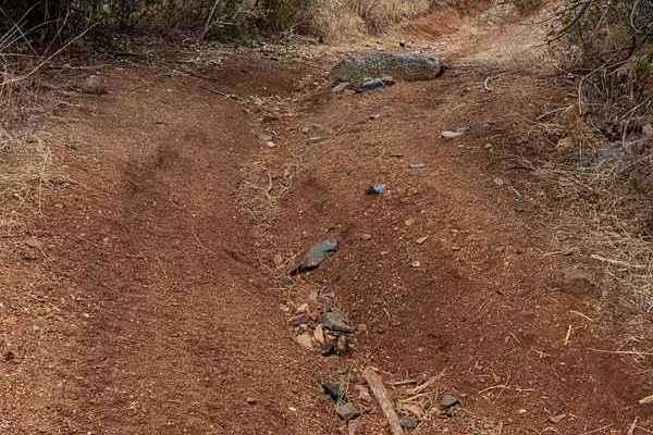
T Bar T
A slightly more challenging alternative to the middle section of Saddle Rock Canyon. Going north to south there is a nice little gatekeeper rock as soon as you turn off the wash. If you can clear this rock then you can complete the trail. Coming from the south this section is all downhill and the ro...
Learn more about T Bar T

San Antonio Mountain Loop
This is an easy route around the base of the San Antonio Mountain. The ride was pretty with grand vistas, an easy trail, and some wildlife. Not recommended for passenger cars, no winter maintenance. That being said a nice stock 4x4 should have no problem on this scenic loop around the base of the mo...
Learn more about San Antonio Mountain Loop
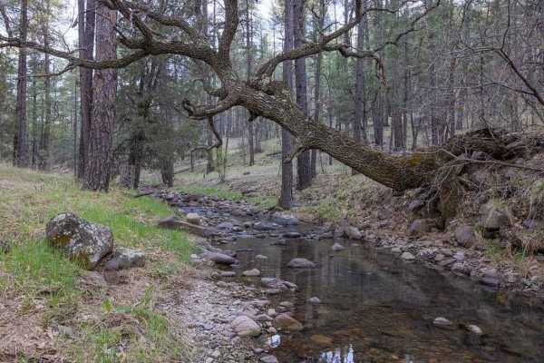
Meadow Creek Road-FS 149
The Meadow Creek Road begins in a Ponderosa Pine Forest with great camping. The road quickly descends into the Meadow Creek Valley and riparian area. The lushness of the riparian area contrasts nicely with the surrounding landscape. The road crosses the creek multiple times. At the junction with FS ...
Learn more about Meadow Creek Road-FS 149
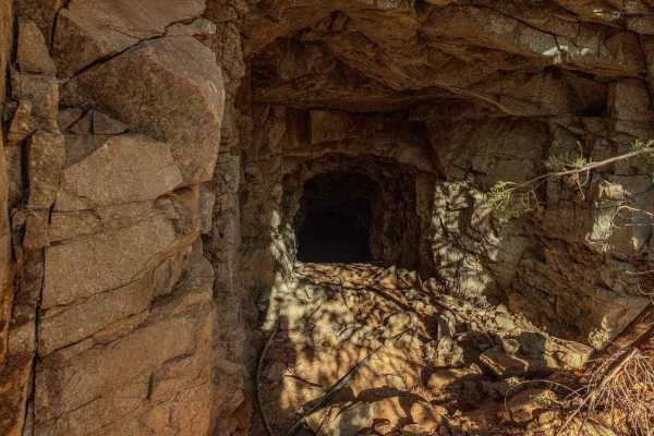
Goat Canyon
Goat Canyon is an out-and-back trail. It deadends near an abandoned mine site. Don't go to the very end as there is no room to turn around and you will have to reverse up a steep slope. There is a large turnaround spot about 0.1 miles from the very end. There is not a singular obstacle but the trail...
Learn more about Goat Canyon
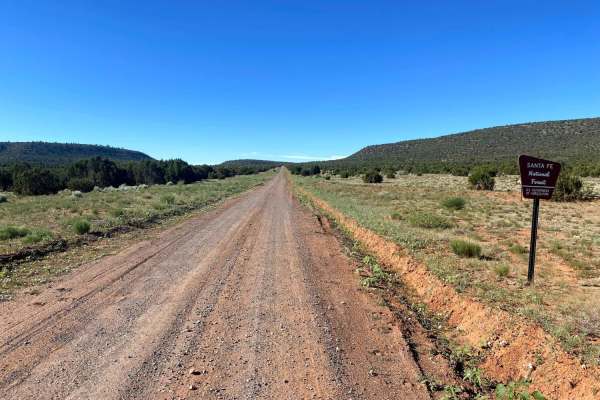
El Cerrito Area of Santa Fe National Forest
Open mesa plains with a web-like network of dirt roads with the occasional rocky obstacle and/or ledge. The general area is wide-open with scenic views of surrounding mesas. If you navigate deep enough into this area a couple nice rocky canyons can be found. Watch out for cattle as this is a commonl...
Learn more about El Cerrito Area of Santa Fe National Forest
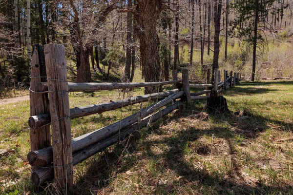
Bear Canyon Rd-FS 855 A
Bear Canyon Road begins in the Signal Fire burn scar but climbs into a beautiful Ponderosa pine forest. The road is generally easy and well-maintained. Great views of the Black Range as you climb higher. The vegetation is an interesting mix primarily Ponderosa pines but also some agaves. Agaves are ...
Learn more about Bear Canyon Rd-FS 855 A
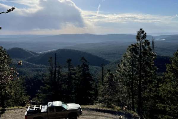
County Road A19A to Hermits Peak
County Road A19A to Hermits Peak is a scenic, beginner-friendly dirt road that offers stunning canyon views, mountain vistas, and direct access to the Santa Fe National Forest near Las Vegas, New Mexico. It begins at an elevation of 6,729 feet and winds steadily upward alongside a picturesque creek,...
Learn more about County Road A19A to Hermits Peak
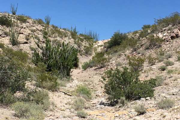
Doug's Dilemma
Doug's Dilemma is a relatively short but technical trail with a mixture of large boulder fields across steep loose inclines and 4-5 foot ledges. The trail begins in the bottom of an arroyo and follows it up to the top of a mountainside. Once you have completed the climb, you will drop down the backs...
Learn more about Doug's Dilemma
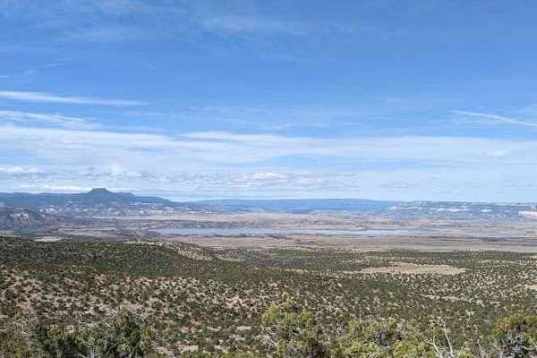
FS 23/FS 137 Abiquiu to El Rito
This trail begins by turning right onto FS 23 from US 84 North, just south of Route 96 turn off to the lake. You will begin climbing in elevation and the views to the west of Cerro Pedernal and Abiquiu Lake improve steadily up to ~7,500 ft elevation. There will be scenic overlooks along the ridge to...
Learn more about FS 23/FS 137 Abiquiu to El Rito
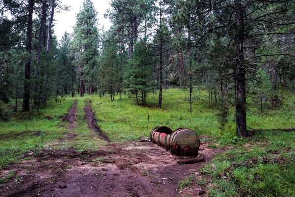
Three Mile Canyon Road
Three Mile Canyon Road is a Forest Service road located in the Sacramento Mountain range and Lincoln National Forest. The trail winds into the canyon and then back out to lead the traveler to Carr Gap (if starting the trail from the west side) and brings tremendous views of the Sacramento Mountains....
Learn more about Three Mile Canyon Road
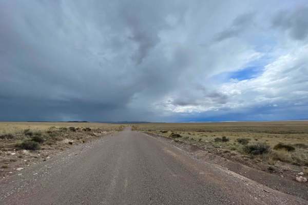
The Array Loop
Driving on an off-road trail in the Cibola National Forest near the Very Large Array (VLA) in New Mexico is an exhilarating and scenic experience. The Cibola National Forest encompasses a vast area of rugged terrain, offering a variety of trails for off-roading enthusiasts. As you embark on your adv...
Learn more about The Array Loop
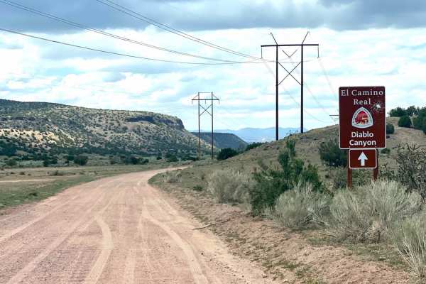
El Camino Real y Diablo Canyon Trail
The El Camino Trail road will take you to Diablo Canyon and to the Rio Grande River. It is almost an extension of the Camino la Tierra road off of Hwy 599. It changes in name to Old Buckman road as it forks to the right after 6.7 miles. The road is well marked with signage at the fork and a wide, wh...
Learn more about El Camino Real y Diablo Canyon Trail
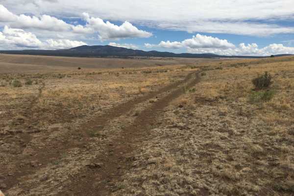
Gila Headwaters Overlook
The Middle Fork of the Gila River starts in the heart of the Gila National Forest and joins the Gila River, 20 miles South of Snow Lake, at the Gila Cliff Dwellings National Monument Visitor Center. This area is home to large herds of Rocky Mountain Elk year-round. Gail Tank is a watering hole for ...
Learn more about Gila Headwaters Overlook
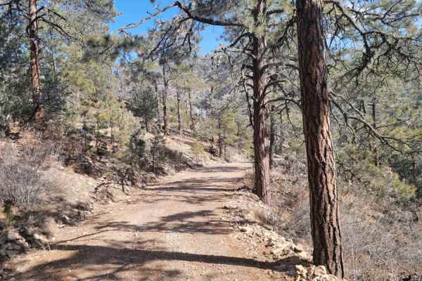
Glorieta Peak
This trail ascends a mountain surrounded by the desert to the South-East of Mountainair. When approaching the peak, it will be visible long before you start the trail when approaching from the west. The first part of the trail is driving on light gravel roads before you enter the National Forest. Th...
Learn more about Glorieta Peak
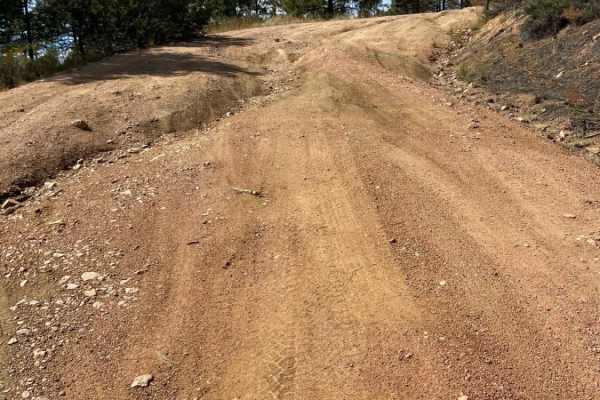
Arroyo Hondo Forest Service 79
Forest Service road that climbs a wide loose and rutted road. There are many shallow ruts and a few deep ruts that must be navigated around if clearance is an issue. There is a very steep descent about 2.5 miles past the Santa Fe National Forest signs or about 0.25 miles past the rough parking lot. ...
Learn more about Arroyo Hondo Forest Service 79
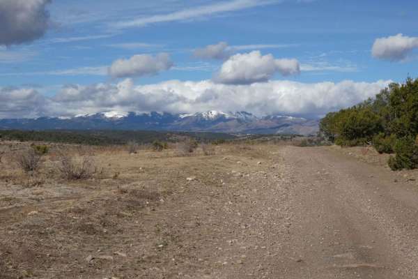
Eagle Lakes
Eagle Lakes is a canyon-to-ridge trail that can be accessed and completed from its east or west entrance. From the east entrance, the trail starts lower in a valley and ascends to its ridge line before dropping back down on the west end. The surface starts differently on each end, with a primarily r...
Learn more about Eagle Lakes
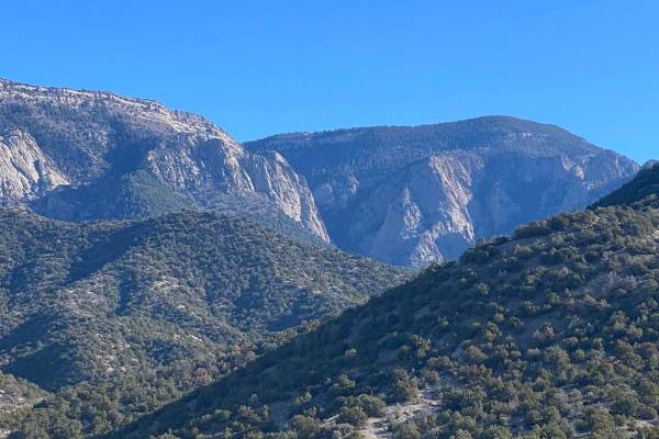
Forest Loop Road 445
Forest Loop Road 445 leads from NM Highway 165 to the northern base of the Sandia Mountains and back to NM 165. The western side of the loop is more difficult with some washouts, arroyos and water ruts. The eastern side of the loop is easier. The northern trailhead of the difficult Piedra Lisa Hikin...
Learn more about Forest Loop Road 445
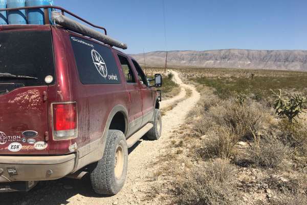
El Paso Gap Trail
This trail is a total of 52 miles and connects the town of Dell City to NM Highway 137 which can go to Queens Nm or to the far campsite of Dog Canyon in the Guadalupe National Park. This trail is comprised of gravel roads with occasional unmaintained sections of the road. The last location to get fu...
Learn more about El Paso Gap Trail
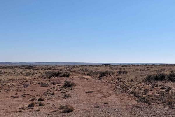
Billy the Kid Loop
This area is mostly flat and full of ranches. But this trail provides some scenic sights of Cibolo Creek and its eroded banks and, as an added bonus, you drive right past the grave of famed outlaw Billy the Kid the get to the trailhead! This trail is used by ranchers and wandering cattle from time t...
Learn more about Billy the Kid Loop
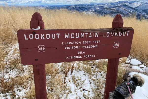
Lookout Mountain
The trail starts with a campsite without amenities. Then, pass by Sawmill Tank filled with beautiful water that freezes over in winter. The initial terrain has mud holes and deep ruts. Pass through a gate to continue down into a valley. The terrain downhill is also a bit tricky and narrow. When you ...
Learn more about Lookout Mountain
ATV trails in New Mexico
Explore ATV-friendly trails in New Mexico. These trails are accessible for vehicles up to 50 inches wide, perfect for ATVs and smaller off-road machines.
T Bar T
A slightly more challenging alternative to the middle section of Saddle Rock Canyon. Going north to south there is a nice little gatekeeper rock as soon as you turn off the wash. If you can clear this rock then you can complete the trail. Coming from the south this section is all downhill and the ro...
Learn more about T Bar T
San Antonio Mountain Loop
This is an easy route around the base of the San Antonio Mountain. The ride was pretty with grand vistas, an easy trail, and some wildlife. Not recommended for passenger cars, no winter maintenance. That being said a nice stock 4x4 should have no problem on this scenic loop around the base of the mo...
Learn more about San Antonio Mountain Loop
Meadow Creek Road-FS 149
The Meadow Creek Road begins in a Ponderosa Pine Forest with great camping. The road quickly descends into the Meadow Creek Valley and riparian area. The lushness of the riparian area contrasts nicely with the surrounding landscape. The road crosses the creek multiple times. At the junction with FS ...
Learn more about Meadow Creek Road-FS 149
Goat Canyon
Goat Canyon is an out-and-back trail. It deadends near an abandoned mine site. Don't go to the very end as there is no room to turn around and you will have to reverse up a steep slope. There is a large turnaround spot about 0.1 miles from the very end. There is not a singular obstacle but the trail...
Learn more about Goat Canyon
UTV/side-by-side trails in New Mexico
Find UTV and side-by-side trails in New Mexico. These trails accommodate vehicles up to 60 inches wide, ideal for UTVs, side-by-sides, and wider off-road rigs.
T Bar T
A slightly more challenging alternative to the middle section of Saddle Rock Canyon. Going north to south there is a nice little gatekeeper rock as soon as you turn off the wash. If you can clear this rock then you can complete the trail. Coming from the south this section is all downhill and the ro...
Learn more about T Bar T
San Antonio Mountain Loop
This is an easy route around the base of the San Antonio Mountain. The ride was pretty with grand vistas, an easy trail, and some wildlife. Not recommended for passenger cars, no winter maintenance. That being said a nice stock 4x4 should have no problem on this scenic loop around the base of the mo...
Learn more about San Antonio Mountain Loop
Meadow Creek Road-FS 149
The Meadow Creek Road begins in a Ponderosa Pine Forest with great camping. The road quickly descends into the Meadow Creek Valley and riparian area. The lushness of the riparian area contrasts nicely with the surrounding landscape. The road crosses the creek multiple times. At the junction with FS ...
Learn more about Meadow Creek Road-FS 149
Goat Canyon
Goat Canyon is an out-and-back trail. It deadends near an abandoned mine site. Don't go to the very end as there is no room to turn around and you will have to reverse up a steep slope. There is a large turnaround spot about 0.1 miles from the very end. There is not a singular obstacle but the trail...
Learn more about Goat Canyon
The onX Offroad Difference
onX Offroad combines trail photos, descriptions, difficulty ratings, width restrictions, seasonality, and more in a user-friendly interface. Available on all devices, with offline access and full compatibility with CarPlay and Android Auto. Discover what you're missing today!
Open Trail Map