Three Mile Canyon Road

Total Miles10.1
Technical Rating
3Easy
Best TimeSpring, Summer, Fall
Trail TypeFull-Width Road
Accessible By
Open Trail Map

Trail Overview

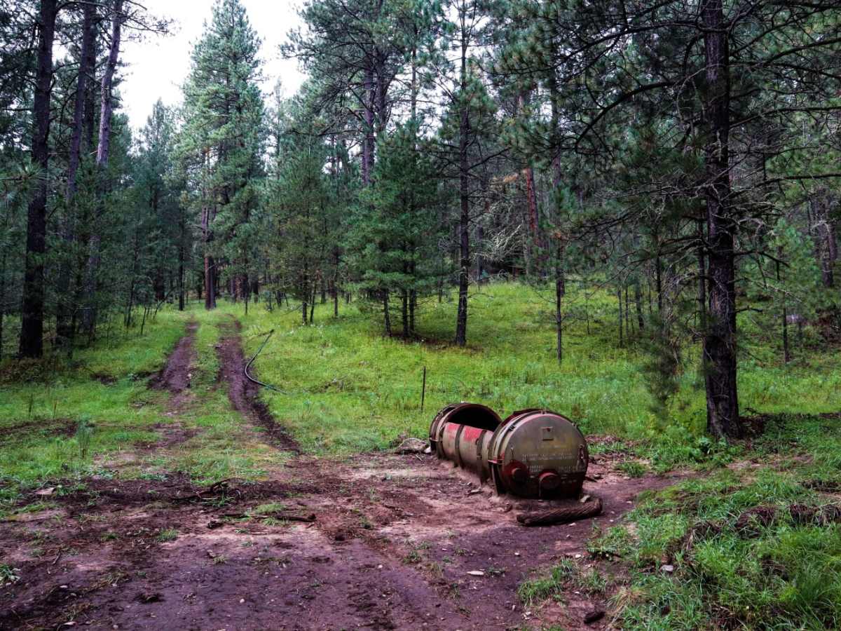
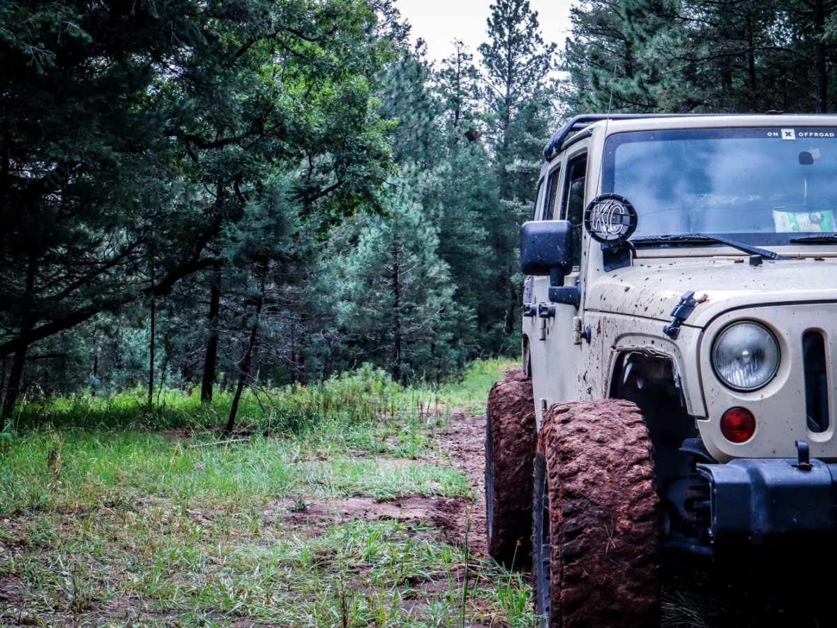
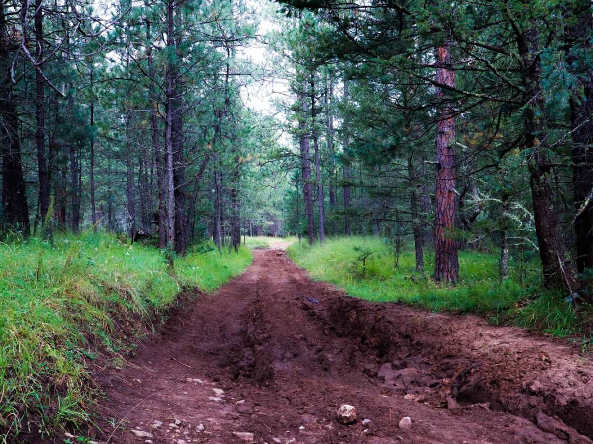
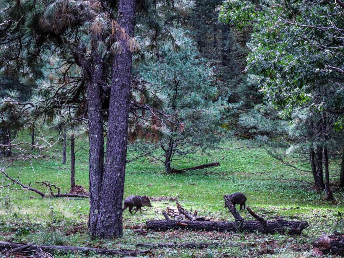
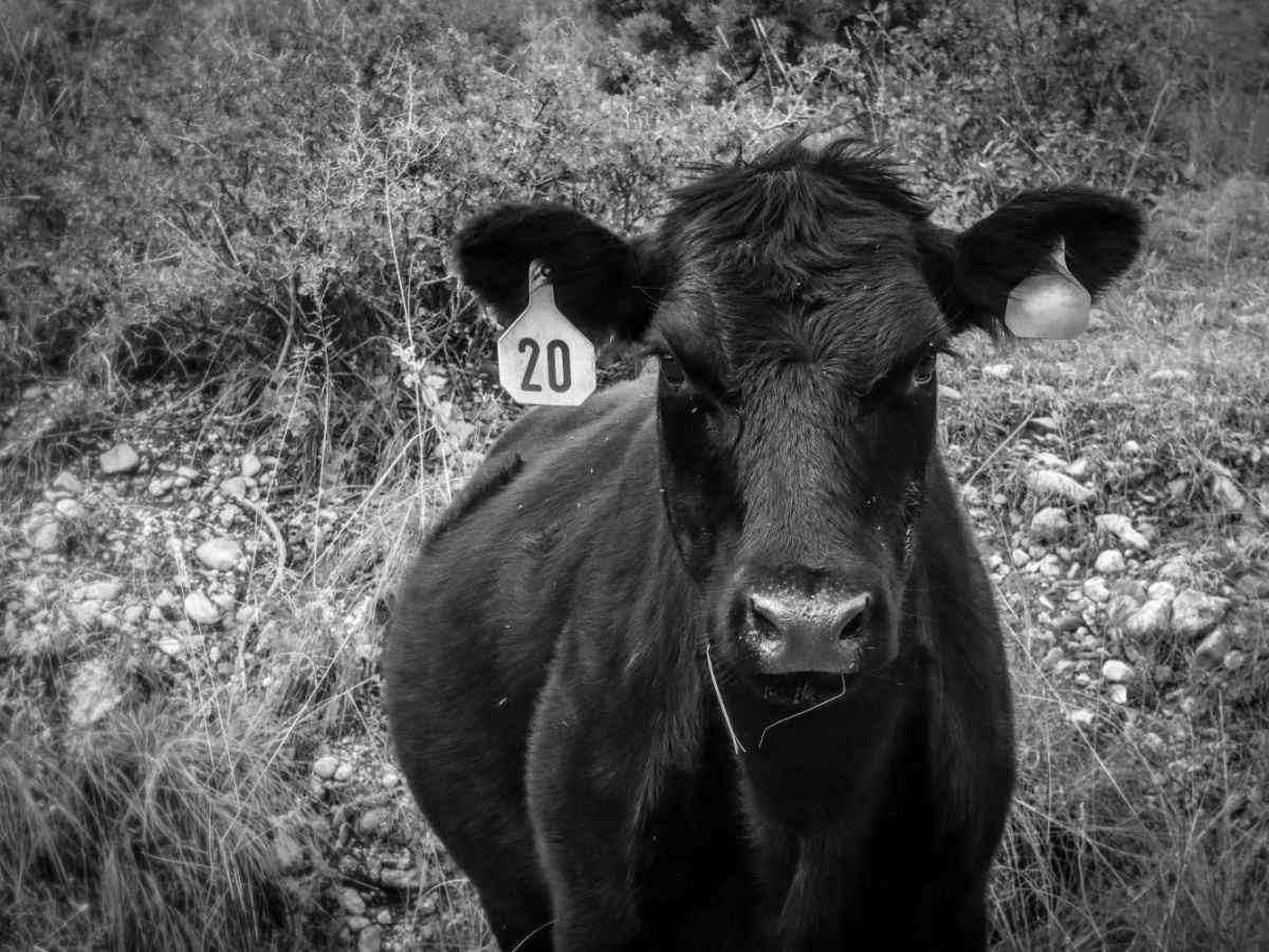
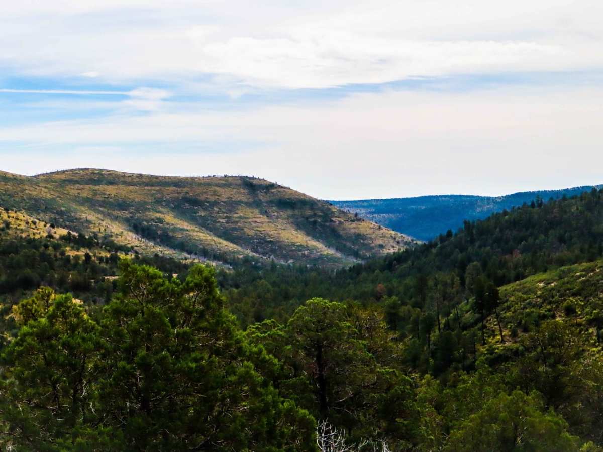
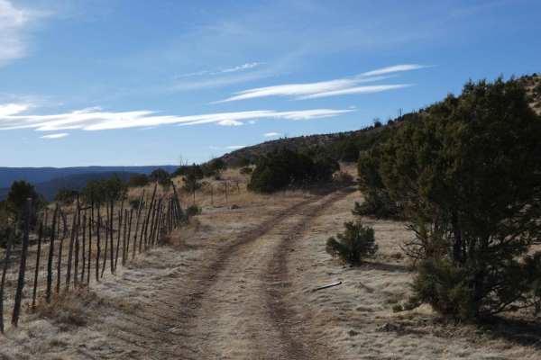
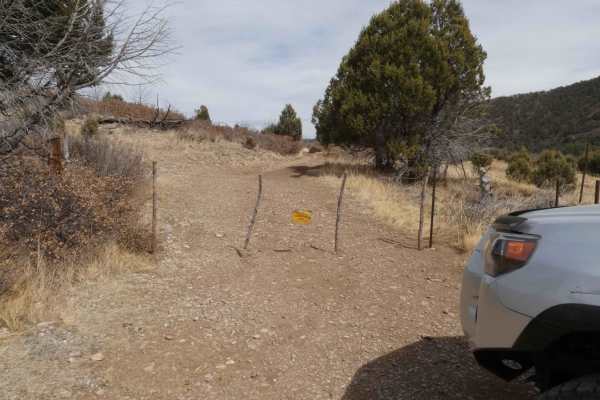
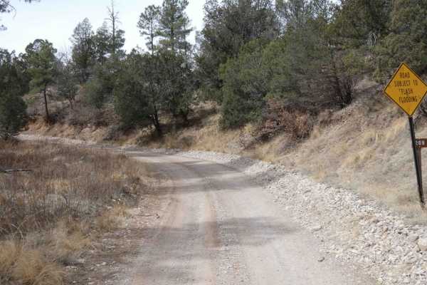
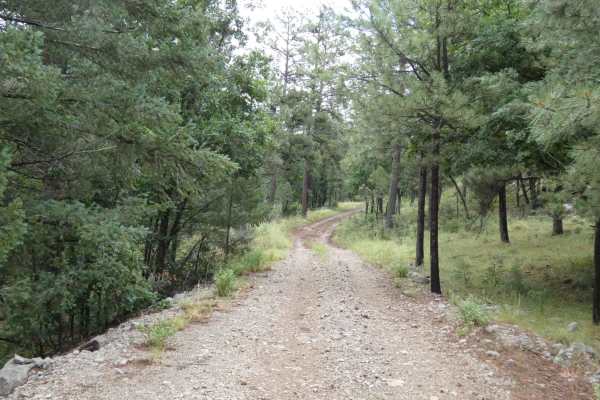
Three Mile Canyon Road is a Forest Service road located in the Sacramento Mountain range and Lincoln National Forest. The trail winds into the canyon and then back out to lead the traveler to Carr Gap (if starting the trail from the west side) and brings tremendous views of the Sacramento Mountains. There are two gates to travel through with reminders to keep them closed due to cattle. Along with cattle, sheep, javelina, deer, and bears can be regularly seen. Use caution around wildlife. The trail is about three-quarters rough going with a small portion on county roads that are still dirt but maintained fairly decently. It consists of loose rocks, very rutted-out mud pits, and fallen trees. This trail, while doable in most stock 4x4 vehicles, should be driven with caution as there are no guard rails for the massive drops into the canyon, and no cell service throughout the trail. Word of caution: while dry, the trail can be done easily, when wet, this becomes an entirely different yet beautiful beast. Care must be taken to avoid sliding into trees and rocks from the slippery uneven terrain. Having a winch or other vehicle could prove useful if traveling during rain or after rain as the trail becomes very much impassable in some areas. This area is at a high enough elevation where snow will stick and accumulate. Traveling down this trail in the snow could prove unwise and is not recommended.

Photos of Three Mile Canyon Road

Difficulty

When dry, this trail is easily doable in any stock 4x4. Wet/snow conditions are going to be tough and only experienced drivers should take on the challenge. Small crossovers and AWD vehicles will have a fun yet challenging time in dry conditions. Use caution and drive in pairs with smaller crossover-based vehicles.

Technical Rating

3

Status Reports

Add Status Report
Kevin Price
Jul 03, 2026
2023 Ford Bronco
Open
Normal
We entered this trail were it meets James Ridge trail and the we went to 82. So we didn’t do the whole trail but the parts we did were great . Decent size ruts that might concern somewhat if it was a bad rain, but I think a fitted 4x4 would be fine.
Eric Yi
Dec 13, 2025
2025 Jeep Gladiator
Open
NormalMuddy/Wet
Loved the west half of the trail. Good mix of mud, dirt, and rocks. A lot of tree cover and some pretty cool views. We even saw a group of deer. Found a frozen pond and we “ice skated” on it lol. Now onto the negative. The entire east half of the trail is literally just a gravel road. I did have some fun by turning off traction and drifting the curves.
Ryan Traphagan
Jul 14, 2025
2024 Jeep Gladiator
Open
Muddy/Wet
Alexis Holguin
Jul 05, 2025
Open
DustySnow/IceRough/Deteriorated
Nice trail pretty simple with great views a lil rocky but noting crazy just air down for a smooth ride
Kevin Potts
Jun 07, 2025
2023 Jeep Gladiator
Open
Normal
Gorgeous forested views and peaceful scenery. Very little washout our ruts but just enough to make it not be mundane of a drive.
Chris Carrasco
May 04, 2025
2010 Toyota 4Runner
Open
Normal
Tony Roberts
Jan 11, 2025
Open
Snow/Ice
Jonathan Rea
Nov 23, 2024
Open
Muddy/Wet
Robert Rinaldi
Sep 27, 2024
Open
Dusty
Chris Carrasco
Aug 07, 2024
2010 Toyota 4Runner
Open
Dusty
Kristopher (FREE) Loder
Jul 05, 2024
Open
Normal
Robert Willhelm
Feb 15, 2024
Open
Muddy/WetSnow/Ice
Better then basic AT tires is recommended when the trail is muddy or icy.
Michael Morlan
Oct 28, 2023
2022 Chevrolet Silverado
Open
Normal

Three Mile Canyon Road Trail can be accessed by the following ride types:

  • Single Track
  • 50 Inch
  • 60 Inch
  • High Clearance
  • Full Width

Three Mile Canyon Road Map

The onX Offroad Difference

onX Offroad combines trail photos, descriptions, difficulty ratings, width restrictions, seasonality, and more in a user-friendly interface. Available on all devices, with offline access and full compatibility with CarPlay and Android Auto. Discover what you're missing today!

Open Trail Map