Trail Overview
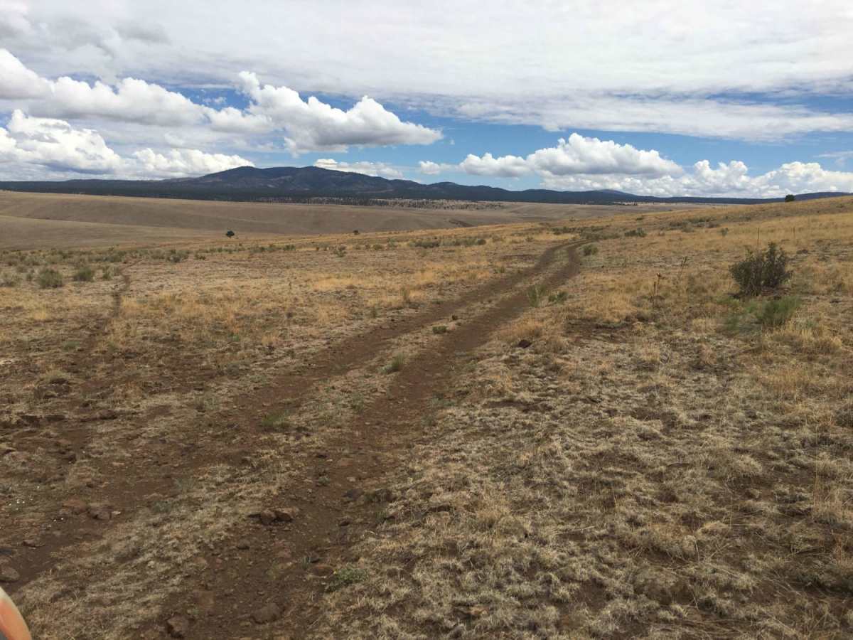
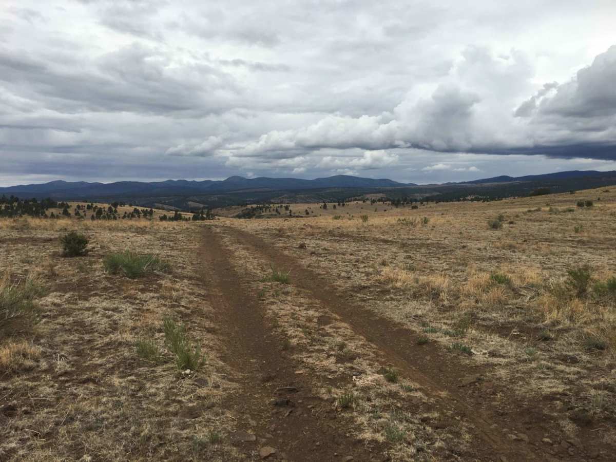
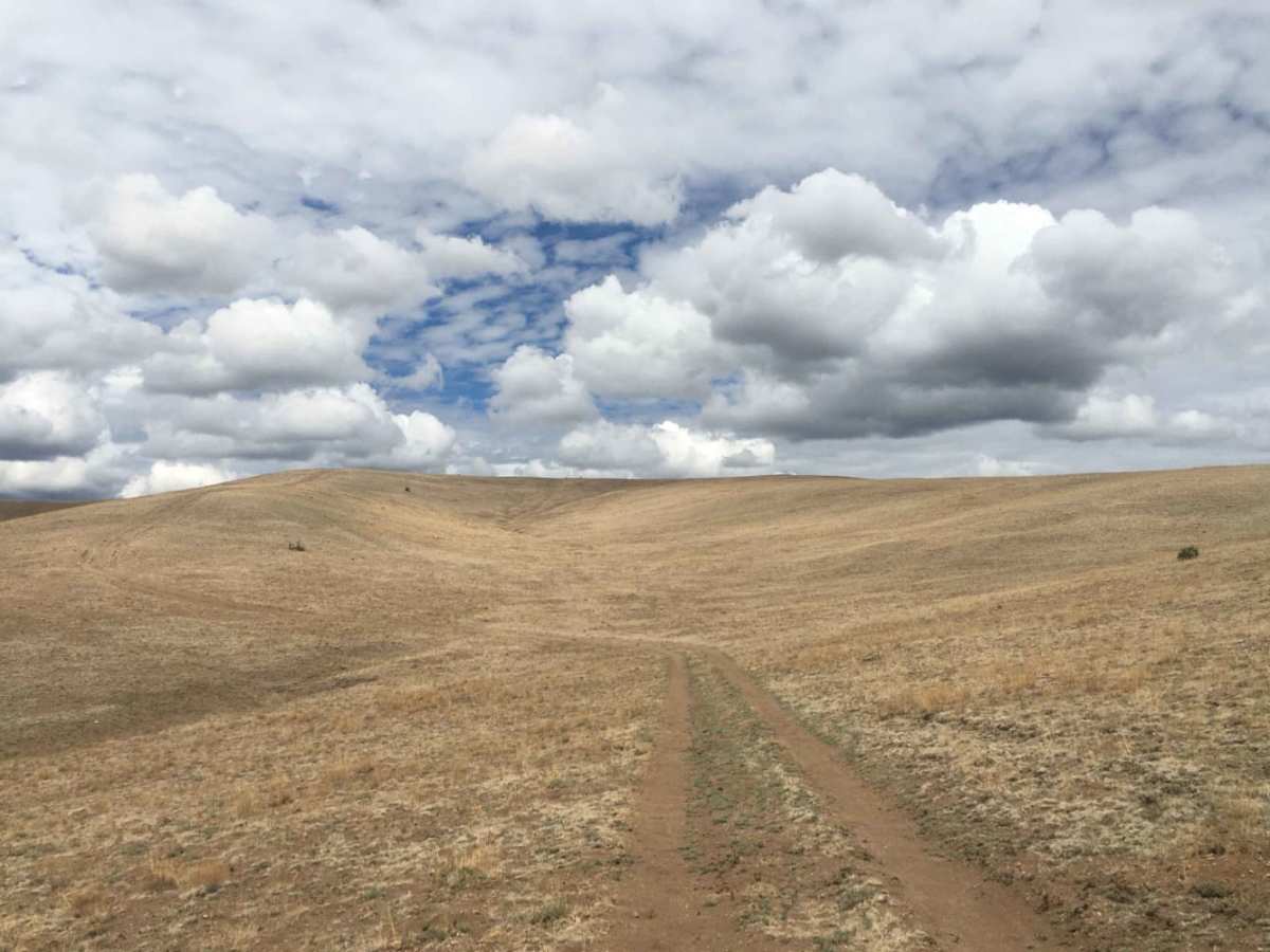
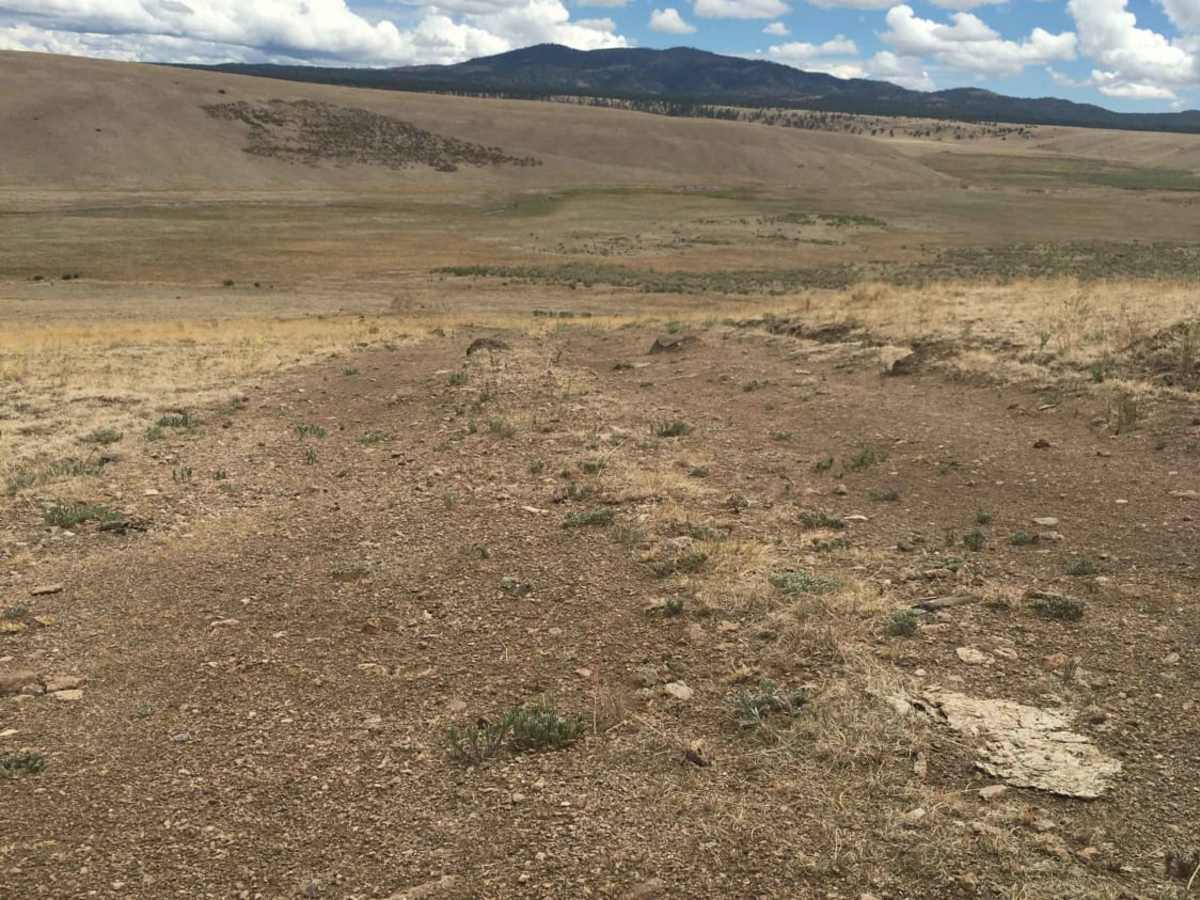
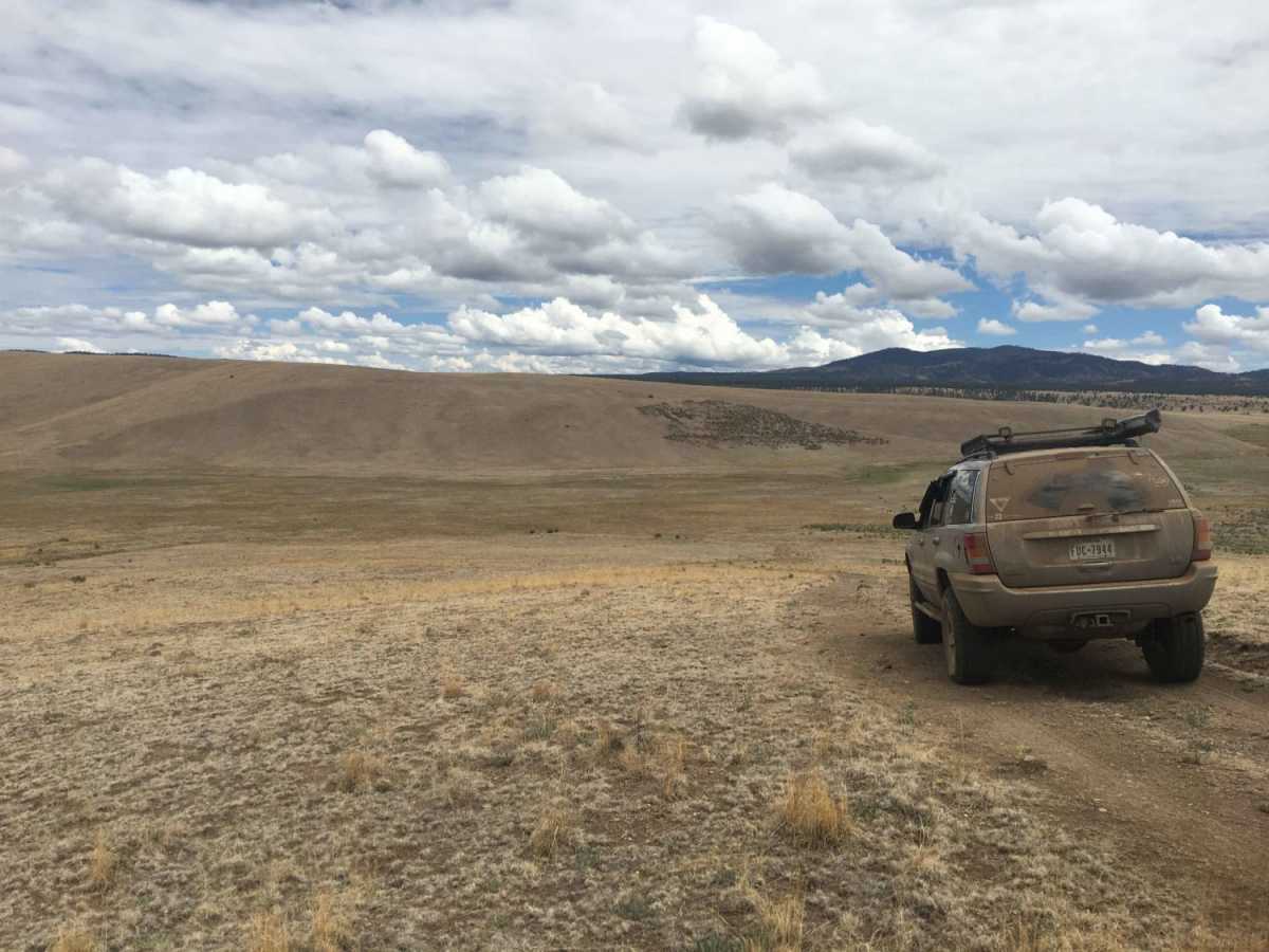
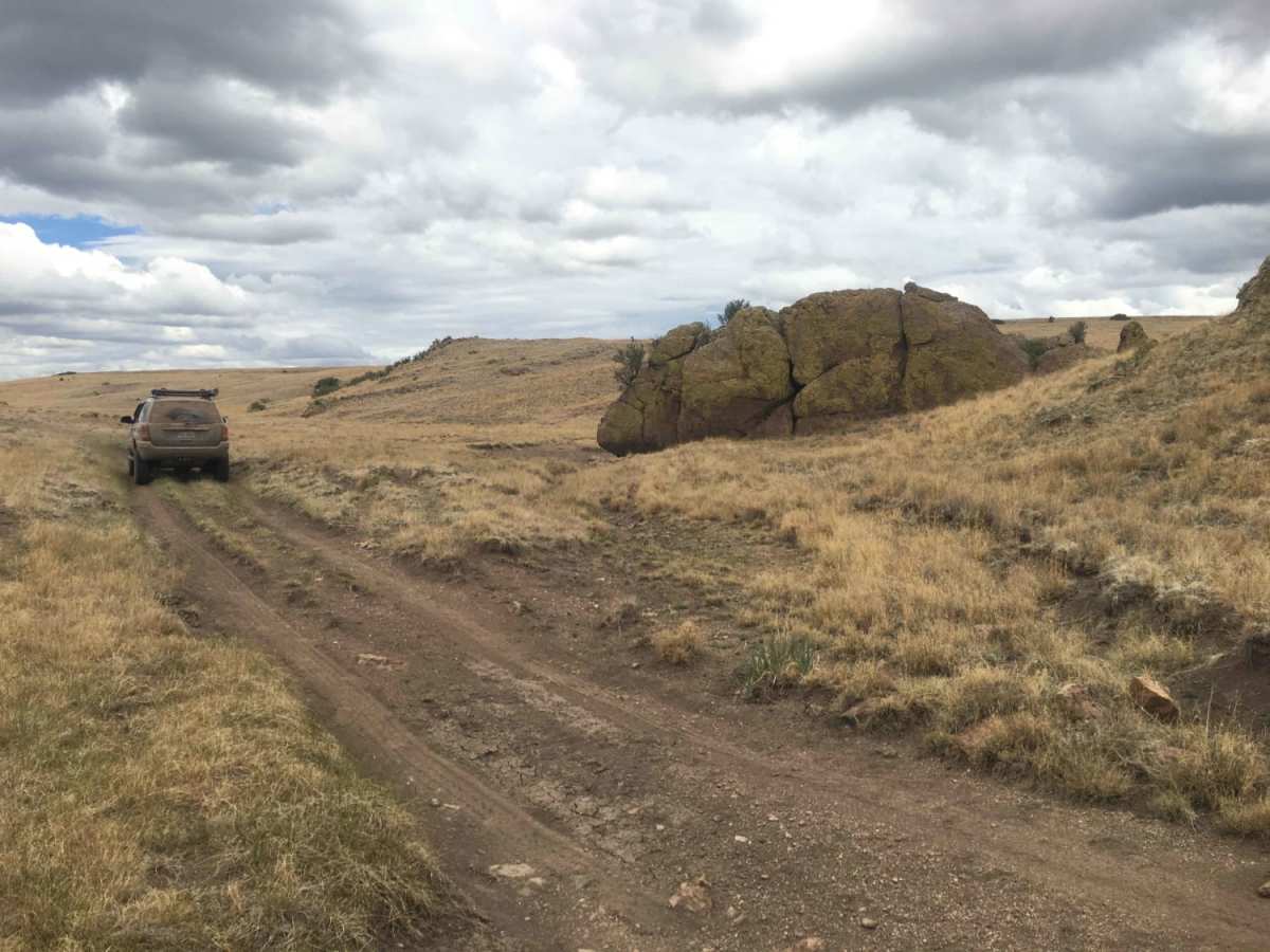
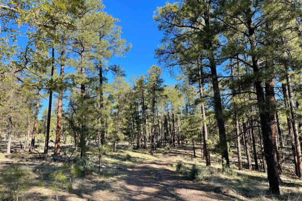
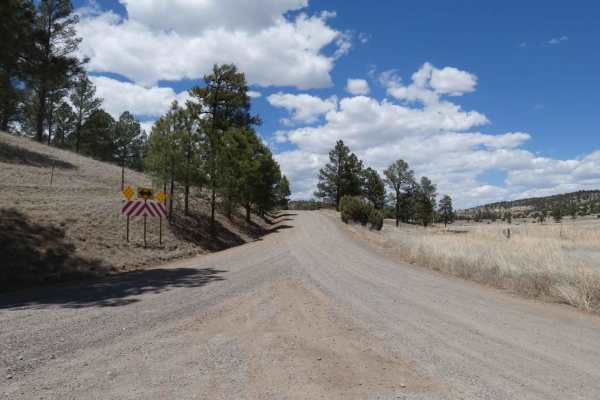
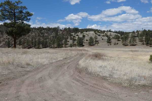
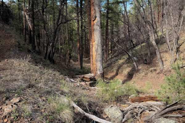
The Middle Fork of the Gila River starts in the heart of the Gila National Forest and joins the Gila River, 20 miles South of Snow Lake, at the Gila Cliff Dwellings National Monument Visitor Center. This area is home to large herds of Rocky Mountain Elk year-round. Gail Tank is a watering hole for cattle and deer and elk. A solar array and pump have been placed on site for moving water to surrounding tanks. During the spring thaw, there will be several creek crossings that may require a skilled driver to accomplish. There are several hill climbs and descents along this route. The route is a combination of two track forest roads composed primarily of rock with sediment in the crossings. One crossing in particular is riddled with obsidian that the rock hounds will appreciate. Two drop gates to be left in position found. At one end of this route is the Negrito Fire Tower, which is normally unmanned and open for viewing pleasure. The tower has been in great physical condition with no safety concerns as of 2021. Elevation 7700 - 8590