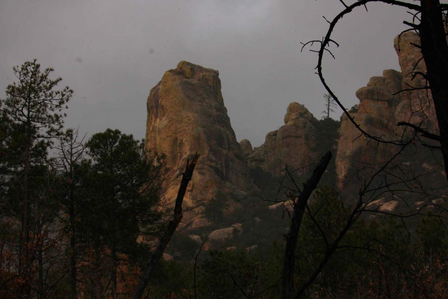
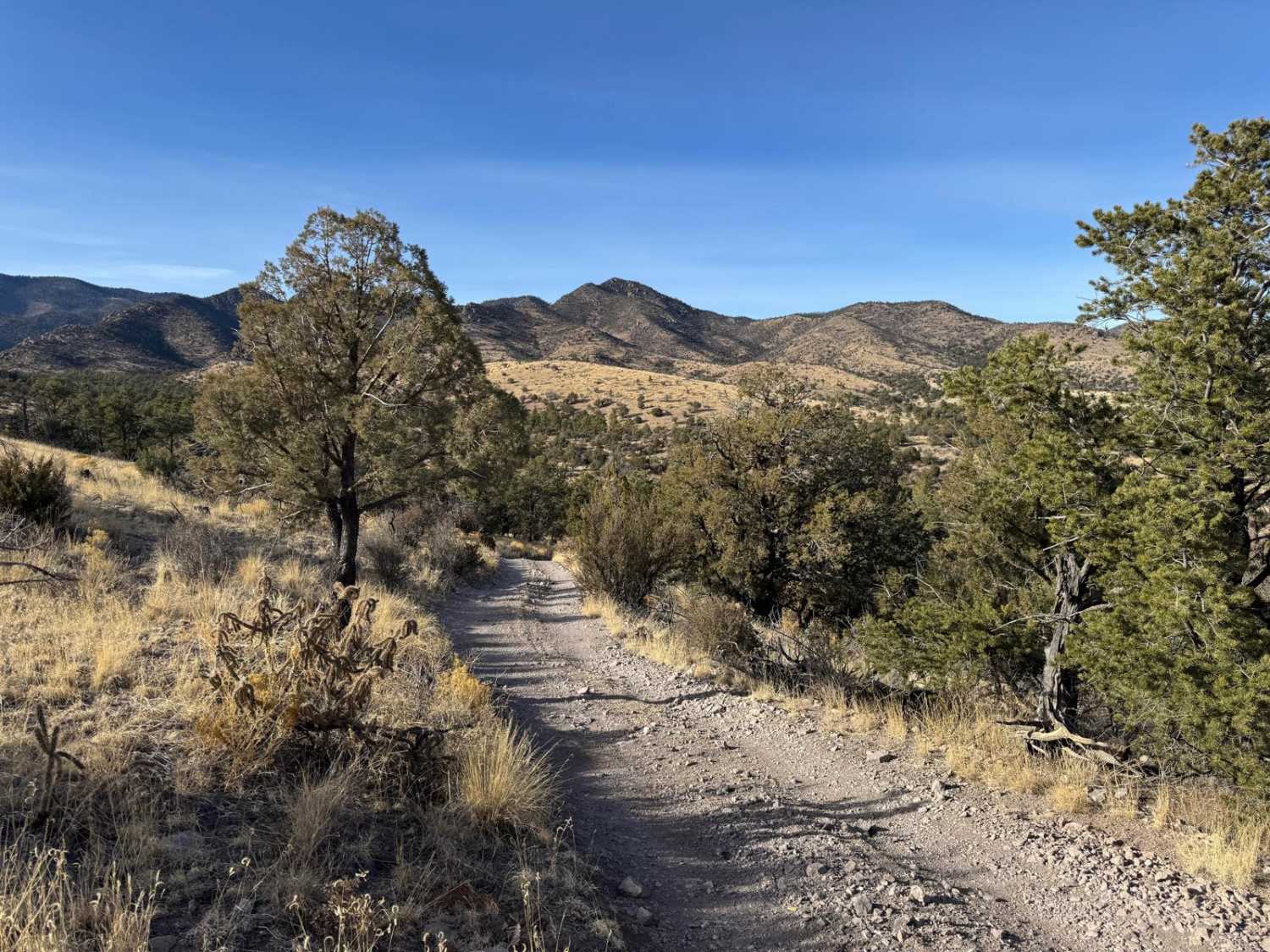
Off-Road Trails in New Mexico
Discover off-road trails in New Mexico
Learn more about Cabezon Road
Cabezon Road
Total Miles
12.4
Tech Rating
Easy
Best Time
Spring, Summer, Fall
Learn more about Cabresto Canyon - FS 134
Cabresto Canyon - FS 134
Total Miles
14.8
Tech Rating
Easy
Best Time
Spring, Summer, Fall
Learn more about Cabresto Lake - FS 134A
Cabresto Lake - FS 134A
Total Miles
2.2
Tech Rating
Easy
Best Time
Spring, Summer, Fall
Learn more about Cactus Canyon
Cactus Canyon
Total Miles
4.4
Tech Rating
Easy
Best Time
Spring, Summer, Fall, Winter
Learn more about Caida del Pino 
Caida del Pino
Total Miles
0.6
Tech Rating
Easy
Best Time
Spring, Winter, Fall
Learn more about Caja del Rio to La Bajada Mesa-USFS 24
Caja del Rio to La Bajada Mesa-USFS 24
Total Miles
21.8
Tech Rating
Easy
Best Time
Spring, Summer, Fall, Winter
Learn more about Calf Crossing
Calf Crossing
Total Miles
4.1
Tech Rating
Easy
Best Time
Spring, Summer, Fall, Winter
Learn more about Can Opener
Can Opener
Total Miles
0.7
Tech Rating
Extreme
Best Time
Spring, Summer, Winter, Fall
Learn more about Canada del Potrero
Canada del Potrero
Total Miles
5.7
Tech Rating
Easy
Best Time
Spring, Summer, Fall, Winter
Learn more about Canada Ojitos
Canada Ojitos
Total Miles
2.5
Tech Rating
Moderate
Best Time
Spring, Summer, Fall
Learn more about Canada Simon Trail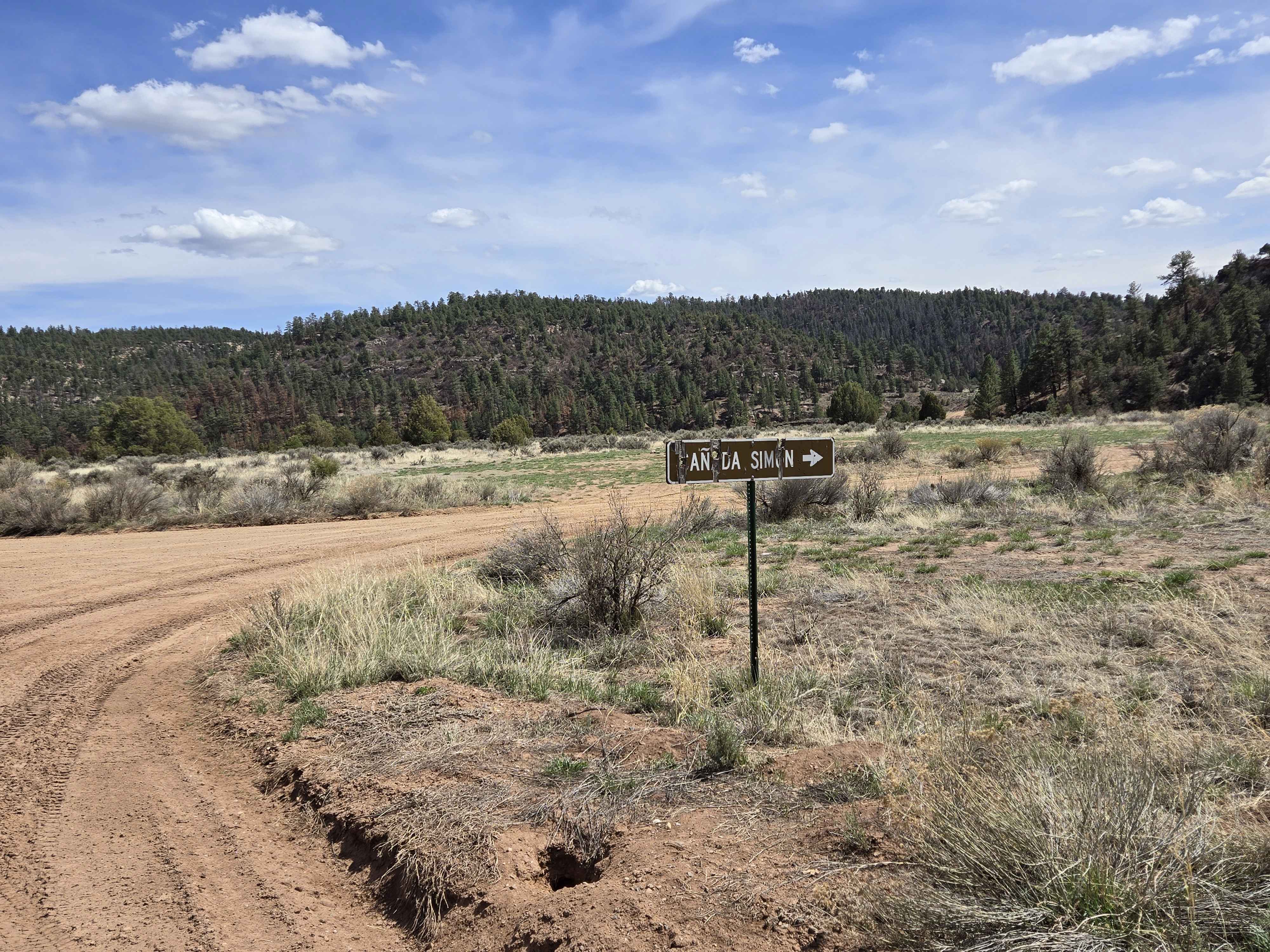
Canada Simon Trail
Total Miles
11.1
Tech Rating
Easy
Best Time
Spring, Summer, Fall, Winter
Learn more about Caprock Horseshoe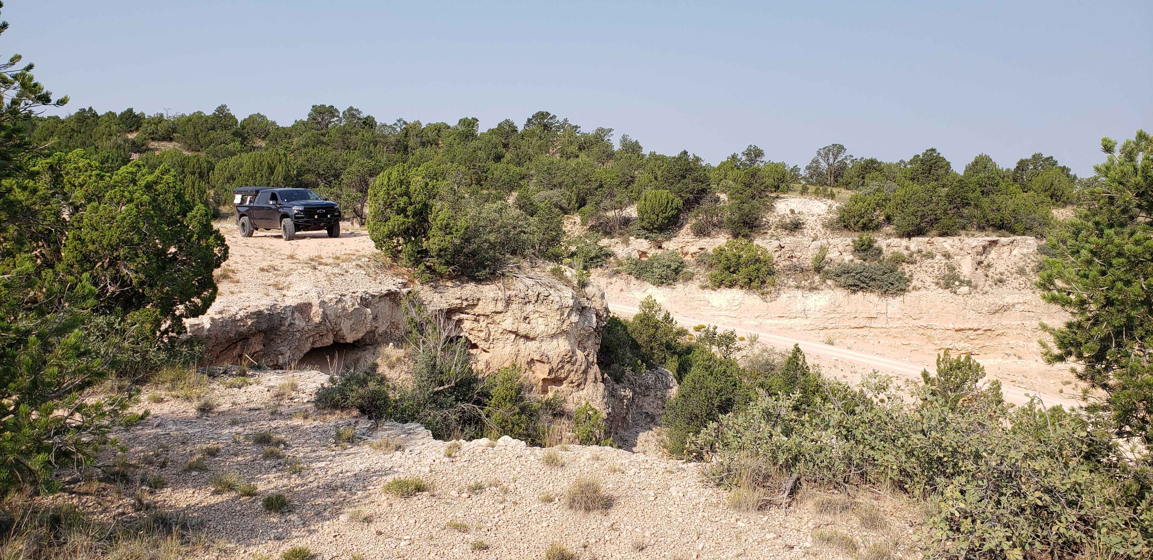
Caprock Horseshoe
Total Miles
11.9
Tech Rating
Easy
Best Time
Fall, Summer, Spring
Learn more about Capulin - FS 76
Capulin - FS 76
Total Miles
9.5
Tech Rating
Easy
Best Time
Spring, Summer, Fall
Learn more about Capulin Forest Road
Capulin Forest Road
Total Miles
2.4
Tech Rating
Easy
Best Time
Spring, Summer, Fall, Winter
ATV trails in New Mexico
Learn more about 1000 Mile Canyon - FS 9216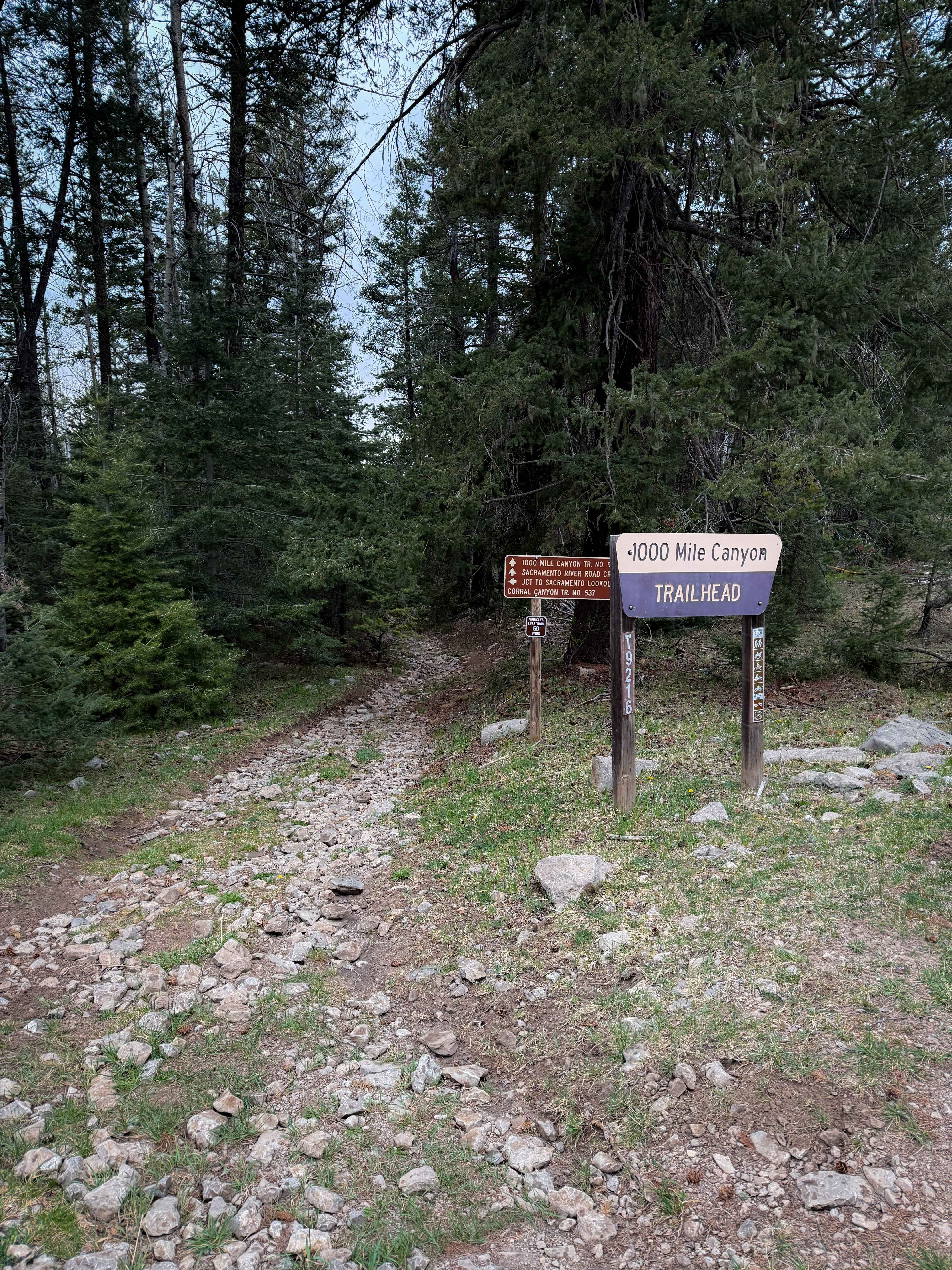
1000 Mile Canyon - FS 9216
Total Miles
1.5
Tech Rating
Moderate
Best Time
Summer, Spring, Fall
Learn more about 2nd Chance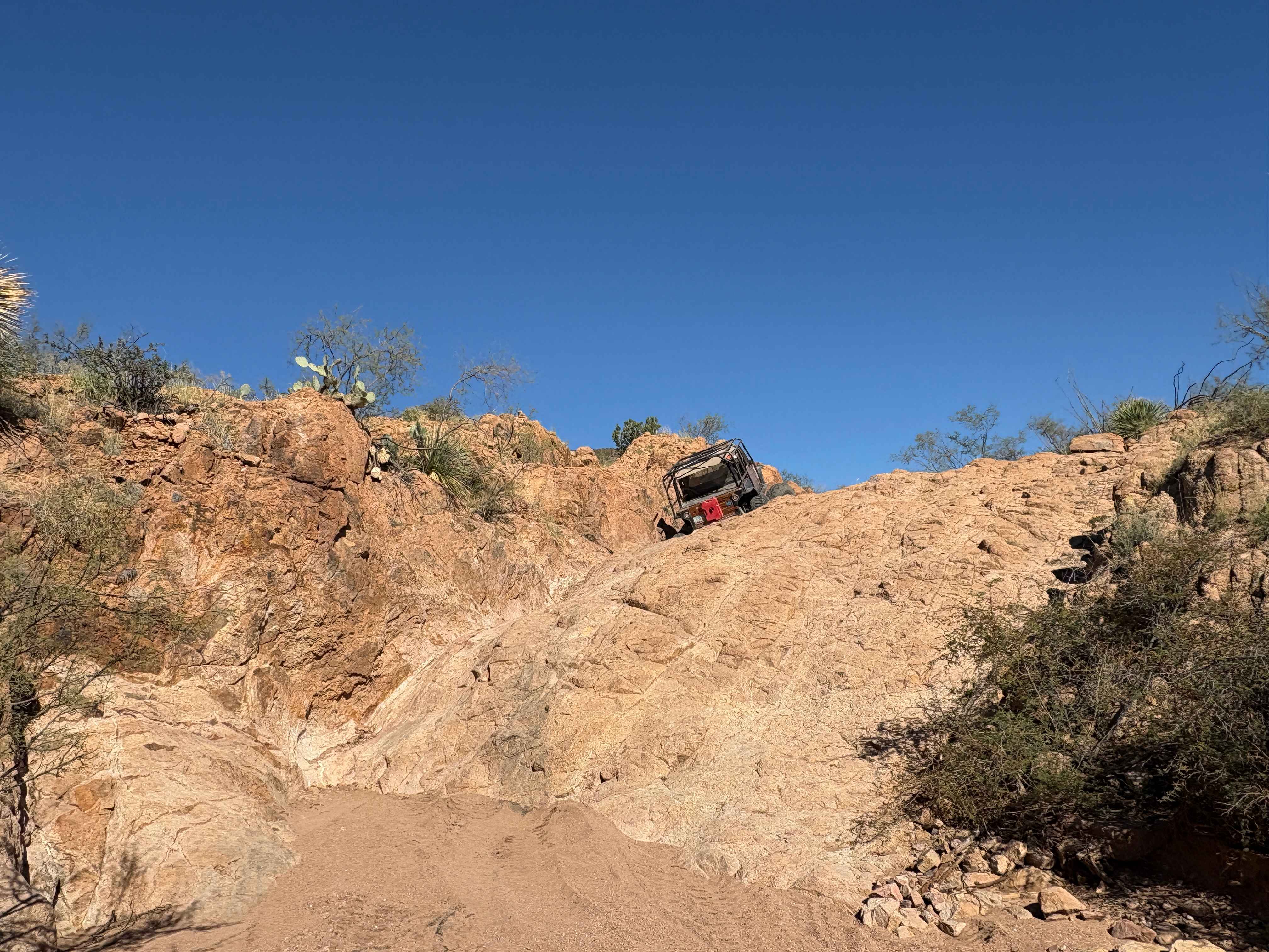
2nd Chance
Total Miles
0.2
Tech Rating
Difficult
Best Time
Summer, Fall, Winter, Spring
Learn more about 3 Stooges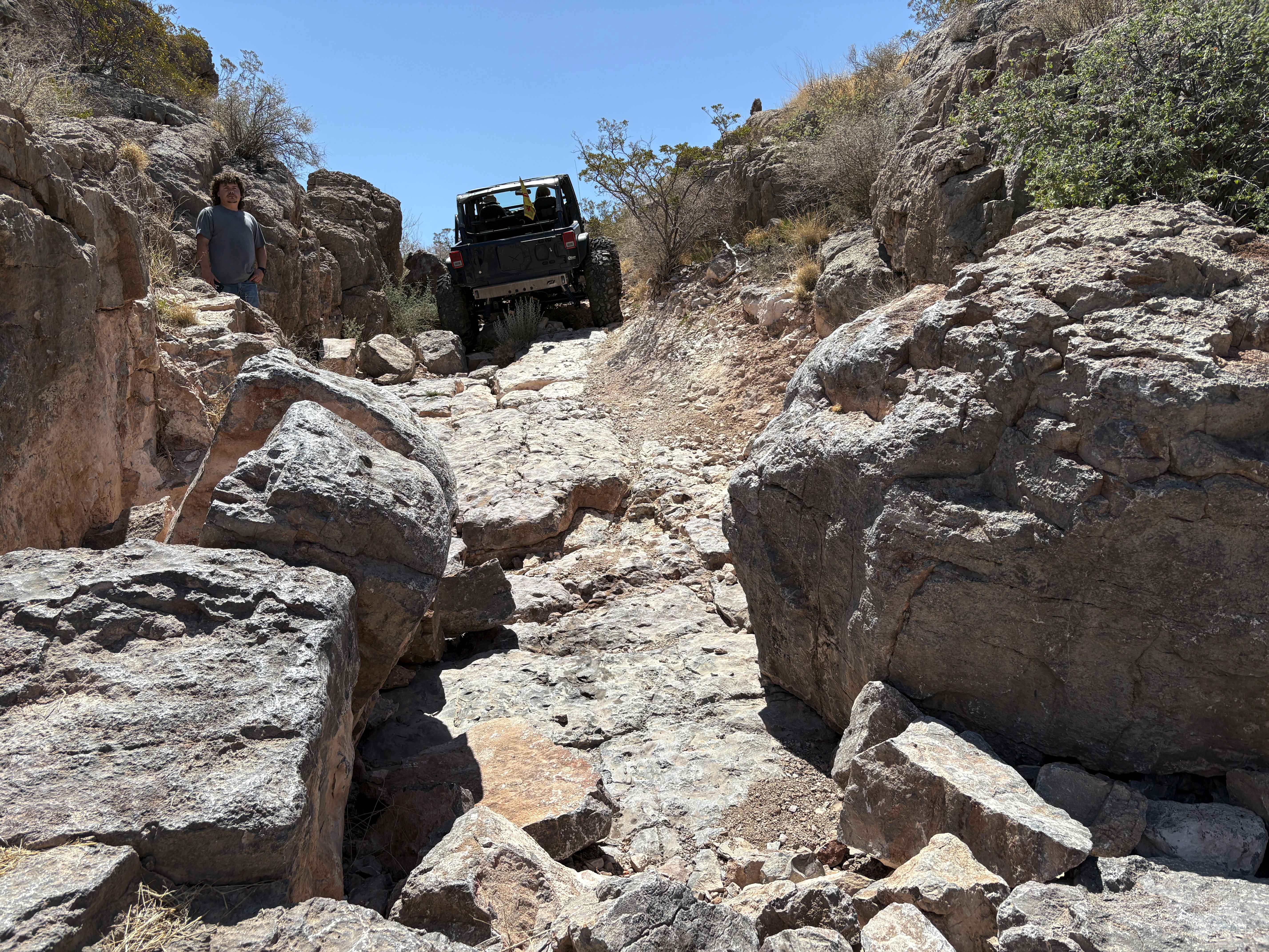
3 Stooges
Total Miles
0.1
Tech Rating
Difficult
Best Time
Spring, Summer, Fall, Winter
UTV/side-by-side trails in New Mexico
Learn more about 2nd Chance
2nd Chance
Total Miles
0.2
Tech Rating
Difficult
Best Time
Summer, Fall, Winter, Spring
Learn more about 3 Stooges
3 Stooges
Total Miles
0.1
Tech Rating
Difficult
Best Time
Spring, Summer, Fall, Winter

The onX Offroad Difference
onX Offroad combines trail photos, descriptions, difficulty ratings, width restrictions, seasonality, and more in a user-friendly interface. Available on all devices, with offline access and full compatibility with CarPlay and Android Auto. Discover what you’re missing today!