Cany
Total Miles
0.9
Technical Rating
Best Time
Spring, Winter, Fall
Trail Type
Single Track
Accessible By
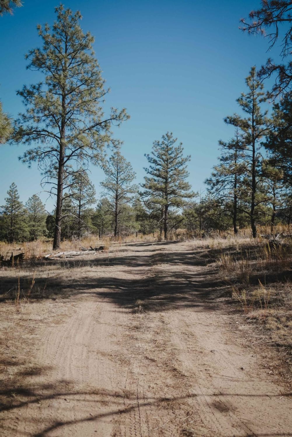
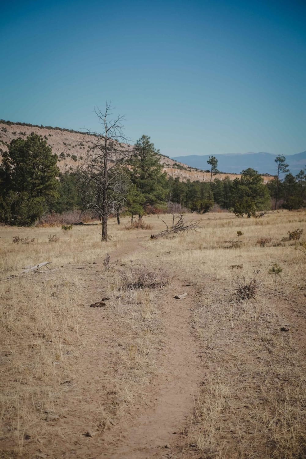
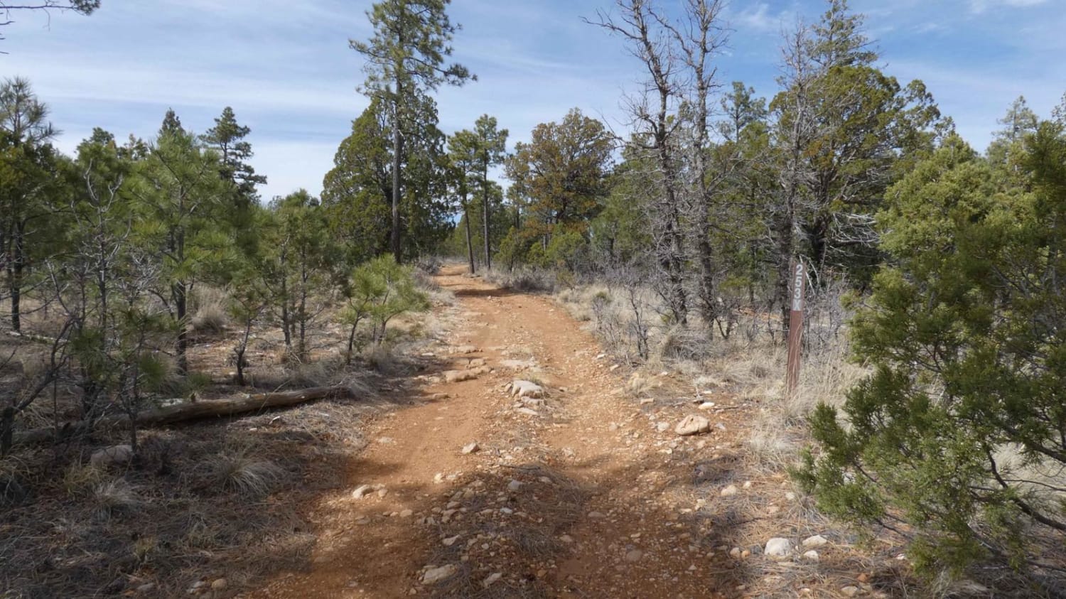
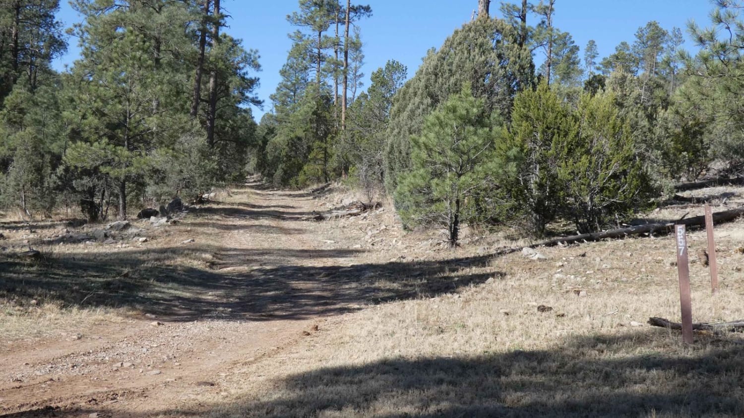
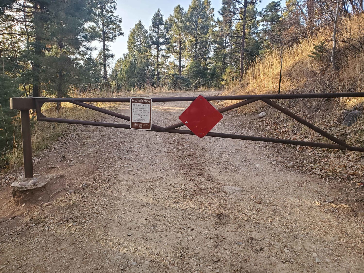
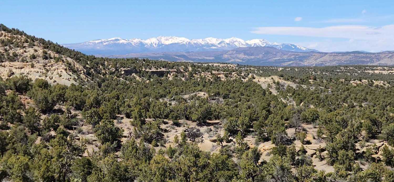
Trail Overview
Cany is a road-width braided trail in the Sante Fe National Forest north of the town of Los Alamos. It's a short trail, 0.9 miles, that connects FS Roads 446 and 445. The trail is mainly a road but has small bits of single track that pop on and off of the road at times. It's all extremely easy and flat, through a grassy high desert terrain, with no obstacles. There are a couple of ruts in the trail to watch out for and very small embedded rocks in spots. It parallels Road 445 the whole time, then drops down to it at the end.
Photos of Cany
Difficulty
This is an easy road-width trail with no obstacles.
Status Reports
Cany can be accessed by the following ride types:
- Dirt Bike
Cany Map
Popular Trails
Elk Ridge North
La Junta Canyon
Glade North - North Loop
The onX Offroad Difference
onX Offroad combines trail photos, descriptions, difficulty ratings, width restrictions, seasonality, and more in a user-friendly interface. Available on all devices, with offline access and full compatibility with CarPlay and Android Auto. Discover what you’re missing today!